The best walks and hikes around Almuradiel
4.6
(69)
420
hikers
15
hikes
Hiking around Almuradiel offers exploration of diverse landscapes within the province of Ciudad Real, Spain. The region is characterized by significant natural passes and varied ecosystems, including the notable Despeñaperros Natural Park, part of the Sierra Morena mountain range. Hikers can encounter unique geological formations, river gorges, and historical sites such as ancient Roman roads and castle ruins. The terrain provides a mix of challenging ascents and more gentle paths through natural environments.
Best hiking trails in Almuradiel
- The most…
Last updated: May 27, 2026
4.3
(3)
8
hikers
12.3km
03:38
370m
360m
Hike to the historic Ruins of Castro Ferral Castle through Despeñaperros Natural Park, enjoying panoramic views and unique geology.
2
hikers
26.0km
08:06
990m
990m
Hike the difficult 16.2-mile Valdeazores and La Niebla Ravines Loop, featuring rocky terrain, diverse forests, and historic ruins.

Sign up for free
16.7km
04:22
130m
130m
Hike the moderate 10.4-mile (16.7 km) circular route from Viso del Marqués to Almuradiel through the natural landscapes of Sierra Morena.
4.7
(12)
74
hikers
Hard hike. Very good fitness required. Mostly accessible paths. Sure-footedness required.
4.8
(5)
46
hikers
Moderate hike. Good fitness required. Mostly accessible paths. Sure-footedness required.
Get access to more routes and recommendations from other explorers.
Sign up for free
Already have an account?
Our route recommendations are based on thousands of hikes, rides, and runs completed by other people on komoot.
Start today with a free account
Your next adventure awaits.
Login or Signup

Tips from the Community

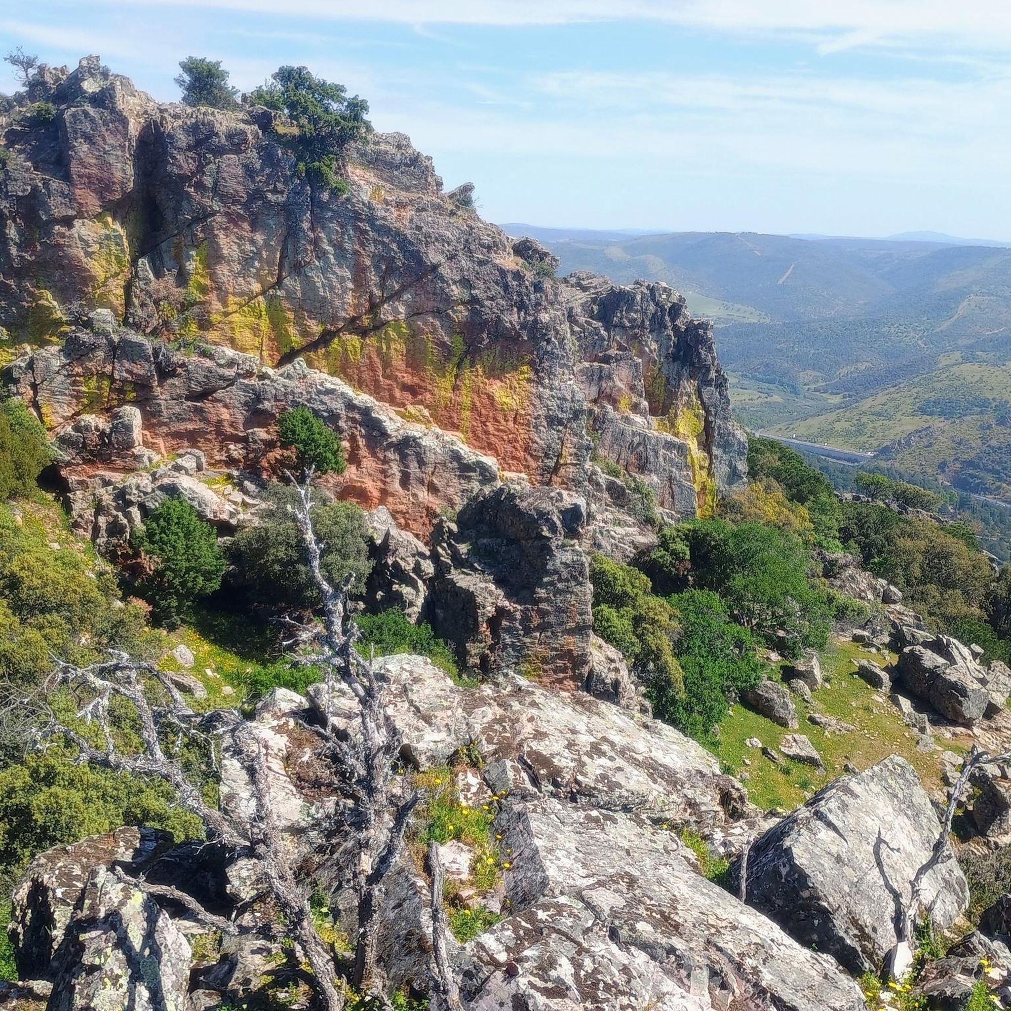
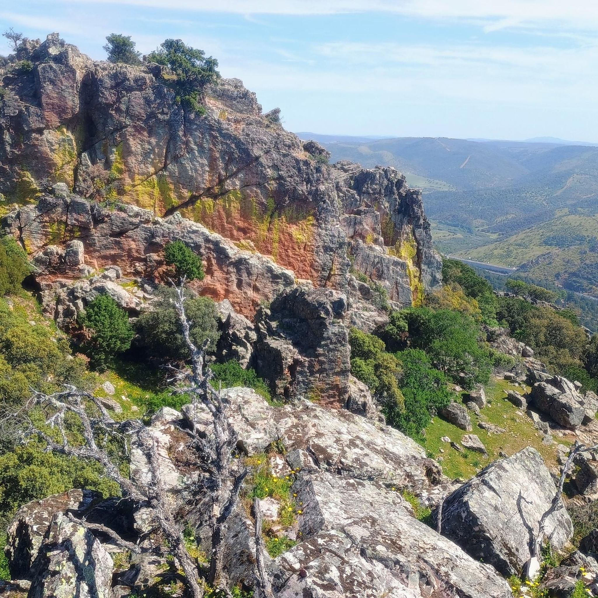
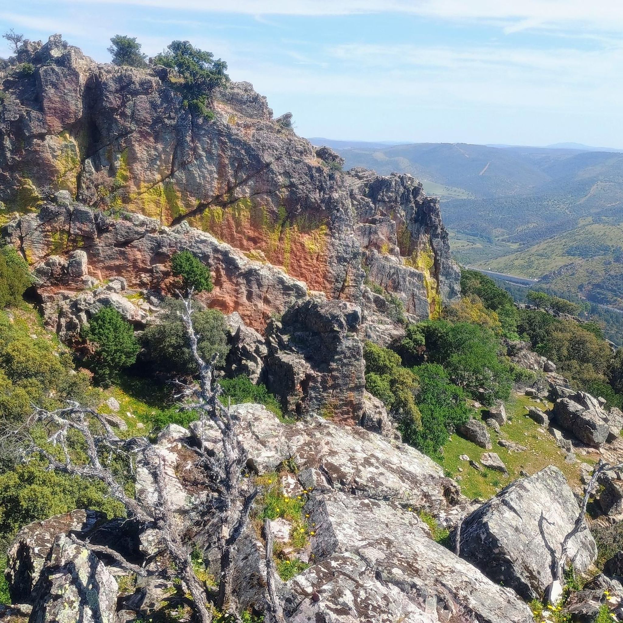
El Mirador del Collado de la Aviación (Santa Elena, Jaén) is a very cool place for bike routes or hiking. It is located within the Despeñaperros Natural Park (Sierra Morena). It offers views of the Los Órganos Natural Monument (quartzite formations of the "organ pipes" type).
2
0

Clearly recognizable prehistoric drawings, on the other side magnificent views. Our hike was accompanied by many eagles
0
0
This charming place is located in the south of the province of Ciudad Real, near Andalusia, and is part of the Sierra Morena region of Ciudad Real. 74 kilometers south of the provincial capital, Almuradiel is crossed by the Southern Highway and is located between kilometer points 231 and 243. Near the town, the Despeñaperros pass begins, a gorge carved by the Despeñaperros River.
1
0
Viso del Marqués is a Spanish municipality and town in the province of Ciudad Real, in the autonomous community of Castilla-La Mancha. The municipal area, which extends across the northern foothills of Sierra Morena. This picturesque place is located at the confluence of four important roads that have historically linked La Mancha with Andalusia. Furthermore, its strategic location made it a prelude to Despeñaperros, the main communication route between both regions.
16
0

It is an elevated point with views towards the Despeñaperros river and the Andalusian highway.
1
1

It is a place with a lot of history.
0
0
Views of the Castro Ferral Castle from a nearby hill. From a distance you can see its majesty despite the fact that only ruined remains remain.
0
0
very good views and historical site
2
0
Frequently Asked Questions
How many hiking trails are available around Almuradiel?
There are over 10 hiking routes around Almuradiel, offering a range of experiences. You'll find a mix of easy, moderate, and difficult trails to suit different fitness levels.
What types of landscapes can I expect to see while hiking near Almuradiel?
Hiking near Almuradiel offers diverse landscapes, from the dramatic gorges of the Sierra Morena, particularly within the Despeñaperros Natural Park, to unique geological formations and varied ecosystems. You can expect panoramic views, river valleys, and areas with distinctive erosion patterns.
Are there any easy hiking trails suitable for beginners or casual walkers?
Yes, Almuradiel offers several easy hiking trails. These routes are generally shorter and have less elevation gain, making them ideal for a relaxed walk. For example, the area has 3 easy routes to explore.
Are there any circular hiking routes around Almuradiel?
Many of the trails around Almuradiel are circular, allowing you to start and end at the same point. Examples include the Castro Ferral Castle Loop, which takes you to historical ruins, and the Viso del Marqués and Almuradiel Loop, exploring the local countryside.
What historical sites or landmarks can I discover on a hike?
You can combine hiking with historical exploration. The region features sites like El Empedraillo, a short stretch of ancient Roman road, and the intriguing Ruins of Castillo de Castro Ferral. The Cimbarra Mill, nestled near a waterfall, also offers a glimpse into the area's past.
Are there any trails that offer impressive viewpoints?
Absolutely. The region is known for its stunning vistas. The Balcón de Despeñaperros Viewpoint is a prime location to appreciate the grandeur of the Despeñaperros Natural Park. Other viewpoints like Desfiladero Viewpoint and Mirador de los Órganos also offer expansive views of the natural landscape.
Are there any challenging hikes for experienced trekkers?
Yes, for those seeking a challenge, there are difficult routes available. The Valdeazores and La Niebla Ravines Loop is a demanding 16.2-mile path that explores rugged ravines, offering expansive views and a significant elevation gain. Another challenging option is the Prehistoric Rock Paintings – Collado de la Aviación Shelter loop.
What do other hikers enjoy most about the trails in Almuradiel?
The trails in Almuradiel are highly rated by the komoot community, with an average score of 4.6 stars from over 60 reviews. Hikers often praise the diverse natural landscapes, the historical points of interest, and the variety of routes available for different skill levels.
Can I find trails that feature water elements like waterfalls or rivers?
While not explicitly listed for every trail, the region's description mentions the Magaña River carving through Despeñaperros and the presence of the Cimbarra Mill near a waterfall, suggesting opportunities to encounter water features. The Cimbarra Mill highlight is a good starting point for exploring this.
Are there any trails that lead to prehistoric rock paintings?
Yes, you can explore trails that include prehistoric rock art. The Collado de la Aviación Shelter – Prehistoric Rock Paintings loop is a moderate route that allows you to visit these ancient sites.
What is the best time of year to go hiking in Almuradiel?
The region's climate suggests that spring and autumn would be ideal for hiking, offering milder temperatures and pleasant conditions for exploring the natural parks and historical sites. Summers can be hot, and winters can bring cooler weather, so checking local forecasts is always recommended.
Most popular attractions around Almuradiel

Get inspired with the komoot mobile app


Explore more
Browse the best Hikes in other regions.
