The best walks and hikes around San Agustín
4.5
(472)
2,754
hikers
96
hikes
Hiking around San Agustín offers a unique blend of cultural exploration and outdoor adventure amidst diverse natural features. The region is characterized by green mountains, valleys, and the dramatic Magdalena River canyon, providing varied terrain for hikers. It is also home to significant pre-Columbian archaeological sites and spectacular waterfalls, which are often integrated into hiking routes. Scenic paths frequently pass through coffee plantations, adding to the natural beauty of the area.
Best hiking trails around San Agustín
- The most popular hiking route is La Hoz del Rio Mijares – circular until the Barranco de Linares, a 3.0 miles (4.8 km) trail that takes 1 hour 27 minutes to complete. This easy route offers views of the Mijares River.
- Another top favourite among local hikers is Aceicuca Trail, an easy 3.2 miles (5.1 km) path. This route features gentle gradients through natural landscapes.
- Local hikers also love the Circular route to Morrón de Olba, a 5.5 miles (8.9 km) trail leading through varied terrain, often completed in about 2 hours 46 minutes.
- Hiking around San Agustín is defined by ancient archaeological sites, majestic waterfalls, and the Magdalena River canyon. The network offers options for different ability levels, from accessible paths to more strenuous routes.
- The routes in San Agustín are highly rated by the komoot community with an average score of 4.5 stars from over 300 reviews. Nearly 2,000 hikers have used komoot to explore San Agustín's varied terrain.
Last updated: August 21, 2026
4.0
(2)
13
hikers
4.80km
01:27
150m
150m
Easy hike. Great for any fitness level. Easily-accessible paths. Suitable for all skill levels.
4.3
(3)
13
hikers
5.10km
01:25
90m
90m
Easy hike. Great for any fitness level. Easily-accessible paths. Suitable for all skill levels.

Sign up for free
4.5
(4)
7
hikers
8.85km
02:46
360m
360m
Moderate hike. Good fitness required. Easily-accessible paths. Suitable for all skill levels.
5.0
(2)
13
hikers
Moderate hike. Good fitness required. Mostly accessible paths. Sure-footedness required.
4.4
(5)
10
hikers
16.8km
05:14
620m
620m
Hard hike. Very good fitness required. Easily-accessible paths. Suitable for all skill levels.
Get access to more routes and recommendations from other explorers.
Sign up for free
Already have an account?
Our route recommendations are based on thousands of hikes, rides, and runs completed by other people on komoot.
Start today with a free account
Your next adventure awaits.
Login or Signup

Tips from the Community

Good views of the surroundings and a good starting point for routes in Enduroland
0
0

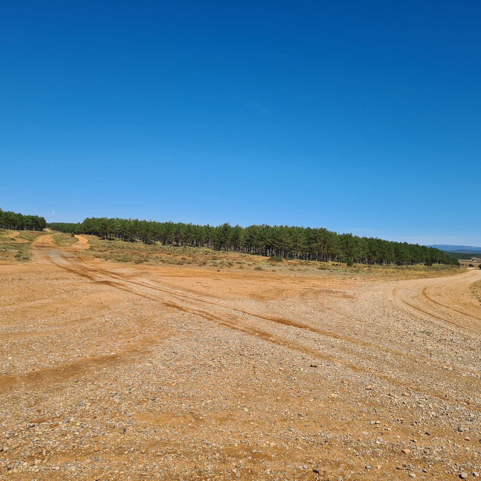
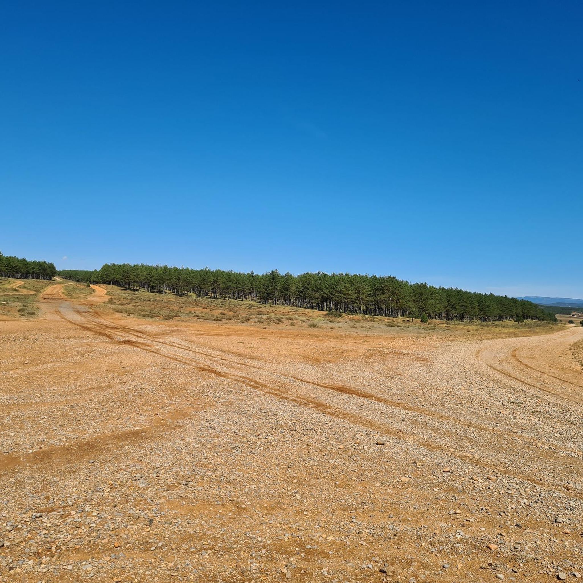
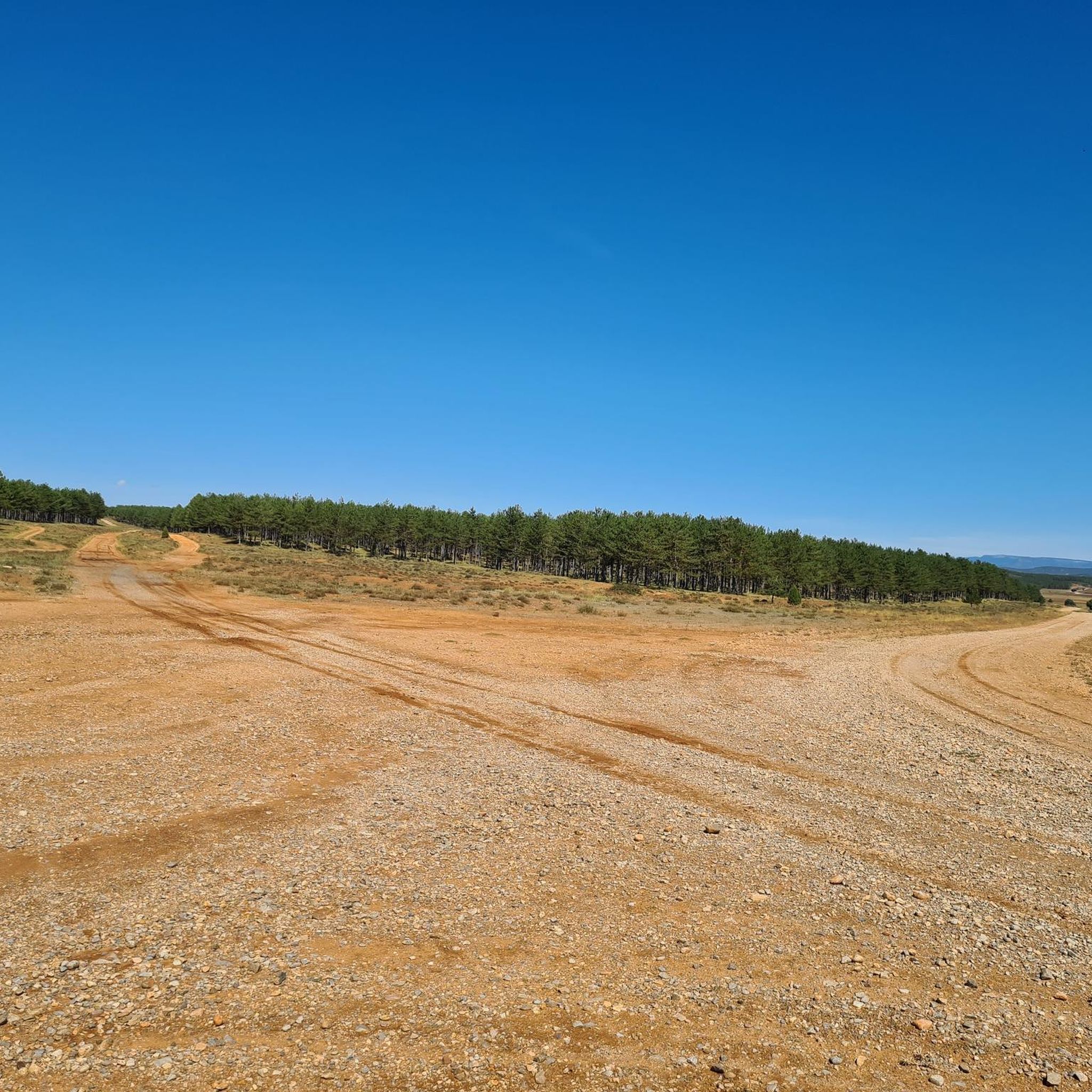
It is a spontaneous natural viewpoint, typical of high mountain areas where: There are panoramic views towards the surroundings of Vilafranca, The landscape of hills, terraces, pine forests and open areas can be observed, There are no built structures (railings, information panels, etc.).
2
0
The Fuente de la Salud (Health Fountain) in Olba (Teruel) is a charming natural spot, highly valued by hikers and visitors seeking tranquility, nature, and pure water. It is a natural spring located in a wooded setting next to the Mijares River, surrounded by native vegetation. It is part of a highly accessible circular hiking route, ideal for all fitness levels. The spring's water is known for its purity and freshness, and has traditionally been attributed with health-giving properties.
2
0
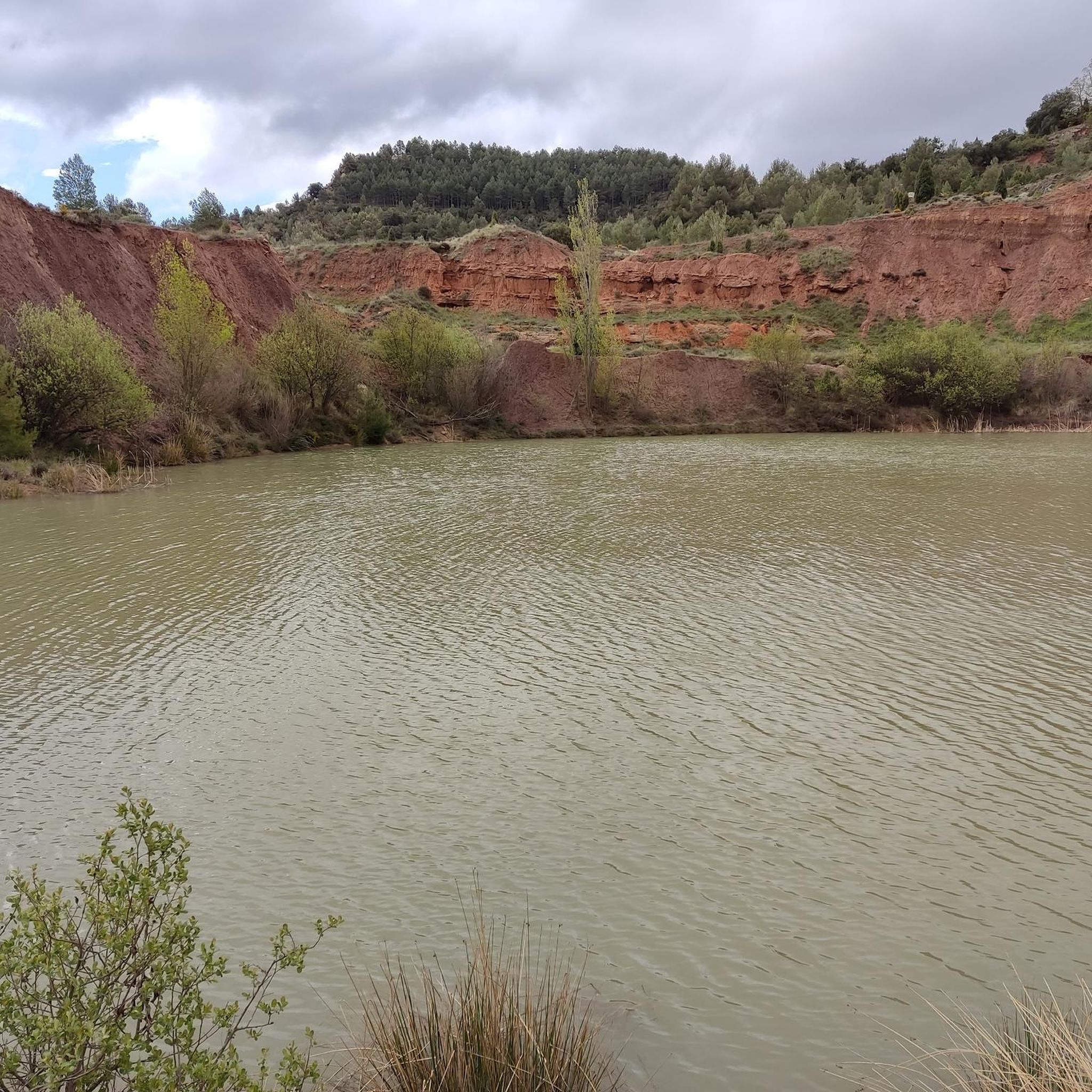
The Hoz del Río Mijares in San Agustín (Teruel) is a stunning natural setting located in the Gúdar-Javalambre region, ideal for lovers of hiking, geology, and spectacular landscapes.
2
0
Olba is a charming destination in the province of Teruel, Aragon! Pozas de Olba: These natural pools are perfect for a refreshing swim and to enjoy the tranquility of the surroundings. Cascada del Molino: An impressive waterfall that offers a natural spectacle and an ideal place to relax. Mirador de Estrellas de Olba: Located on top of a hill, this viewpoint offers spectacular views of the night sky. It is a perfect place for stargazing, especially on clear nights. Among many other things.
6
0
The Barranco de Linares offers stunning views and is a popular destination for hiking enthusiasts. One of the most recommended routes is the circular route that passes through the Hoz del Río Mijares and reaches the Barranco de Linares.
7
0
The Charles IV Bridge in Olba is a historic structure that crosses the Mijares River. This bridge, built in the 18th century, is known for its stone architecture and its importance in connecting local routes. Originally, it had four arches, but two of them were destroyed during the Civil War. The bridge is a highlight on several hiking trails, such as the one from Olba to Fuente los Pertegaces. This circular route allows you to enjoy the natural beauty of the valley and other points of interest such as the Salud aqueduct.
7
0
The Mijares River in Olba is a place of great natural beauty and offers various outdoor activities. The river meanders through the valley, providing an ideal environment for hiking and swimming in its pools.
7
0
Frequently Asked Questions
How many hiking trails are available in San Agustín?
San Agustín offers a wide variety of hiking experiences, with over 70 routes documented on komoot. These range from easy strolls to more challenging treks, ensuring options for all fitness levels.
What types of landscapes can I expect to see while hiking in San Agustín?
Hiking in San Agustín immerses you in a landscape of green mountains, valleys, and the dramatic Magdalena River canyon. Many routes also pass through scenic coffee plantations and banana trees, offering a blend of natural beauty and agricultural charm.
Are there any easy hiking trails suitable for beginners or families in San Agustín?
Yes, San Agustín has 16 easy routes perfect for beginners or families. An excellent option is the La Hoz del Rio Mijares – circular until the Barranco de Linares, a 4.8 km trail that offers pleasant views of the Mijares River. Another gentle path is the Aceicuca Trail, which features gentle gradients through natural landscapes.
Can I find circular hiking routes in San Agustín?
Yes, many routes in San Agustín are circular, allowing you to start and end at the same point. A popular moderate option is the Circular route to Morrón de Olba, which covers 8.9 km through varied terrain.
What archaeological sites can I visit while hiking in San Agustín?
San Agustín is renowned for its pre-Columbian archaeological sites, many of which are integrated into hiking routes. The San Agustín Archaeological Park, a UNESCO World Heritage site, features over 500 statues. Other significant sites like Alto de los Ídolos and Alto de las Piedras are also accessible, offering a unique cultural dimension to your outdoor adventure.
Are there any waterfalls accessible via hiking trails in San Agustín?
San Agustín is home to several spectacular waterfalls that make for excellent hiking destinations. The 3 Chorros Waterfall is a four-hour hike through pastures, while the magnificent Salto del Mortiño and the even taller Salto de Bordones offer breathtaking views and are easily accessible with short walks from parking areas.
What do other hikers enjoy most about hiking in San Agustín?
The hiking trails in San Agustín are highly rated by the komoot community, with an average score of 4.5 stars from over 300 reviews. Hikers frequently praise the unique blend of cultural exploration with ancient archaeological sites, the majestic waterfalls, and the diverse natural beauty of the Magdalena River canyon.
Are there any viewpoints or scenic overlooks along the trails?
Yes, the region offers numerous viewpoints with stunning panoramic vistas. You can find scenic overlooks such as View of Puebla de Arenoso, View of Embalse de Arenoso and Muela de Mijares from El Morrón de Campos, and Monte la Copa Viewpoint, providing excellent opportunities to appreciate the Andean landscape.
Can I find trails that pass by lakes or natural water features?
Absolutely. Some routes in the San Agustín area lead to beautiful lakes and lagoons. Notable spots include Fuente de los Baños - Montanejos Lake and a serene Lagoon, offering tranquil settings amidst your hike.
What is the best time of year to go hiking in San Agustín?
San Agustín's climate is generally mild, making it suitable for hiking year-round. However, the dry season (typically June to September and December to February) often provides the most comfortable conditions with less rainfall, ideal for exploring the trails and archaeological sites.
Are there any challenging or difficult hikes in San Agustín?
For experienced hikers seeking a challenge, San Agustín offers 17 difficult routes. An example is the Olba Village – Carlos IV Bridge loop from Puebla de Arenoso, a 16.7 km trail with significant elevation changes, requiring good fitness and sure-footedness.
Are there opportunities to explore caves or unique geological formations?
Yes, the region around San Agustín features interesting geological formations. You can explore sites like The Cueva Negra, which adds an adventurous element to your hiking experience.
Most popular routes around San Agustín
Most popular attractions around San Agustín

Get inspired with the komoot mobile app


Explore more
Browse the best Hikes in other regions.
