The best cycling routes around Rubielos De La Cérida
5.0
(2)
17
riders
6
rides
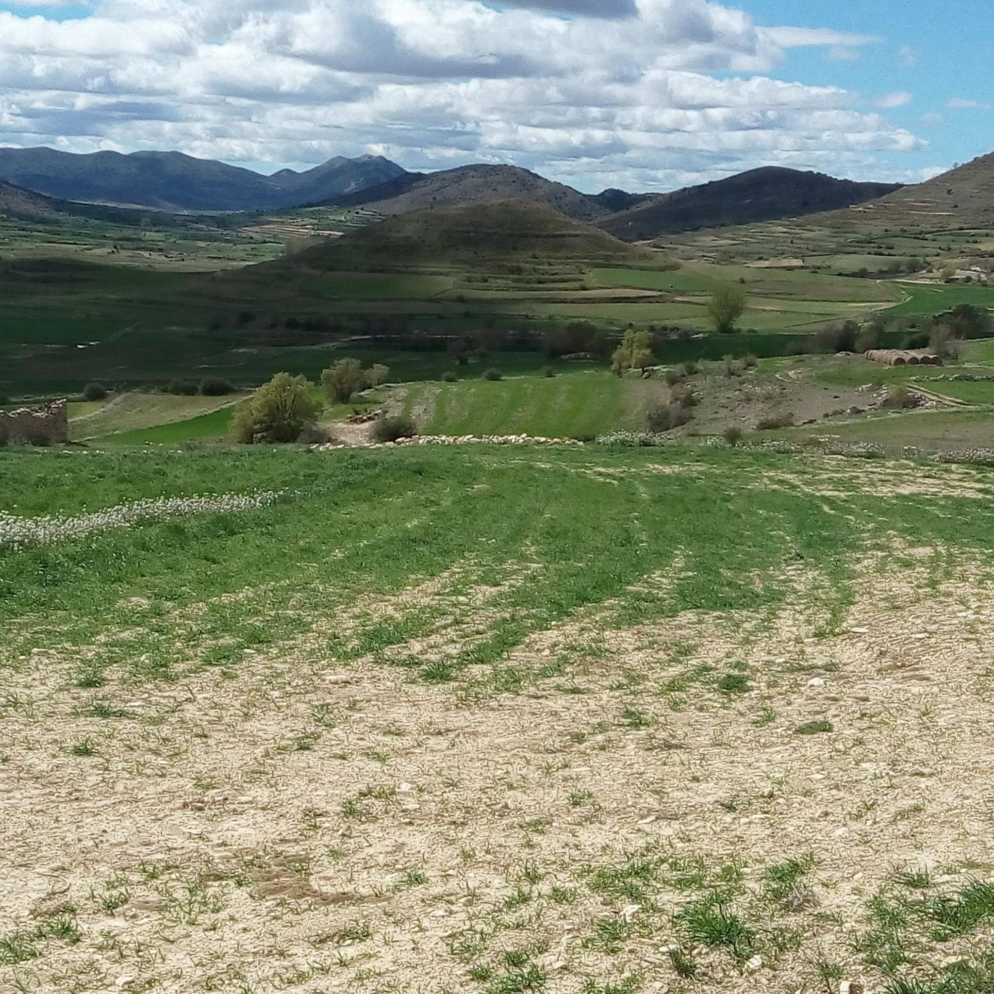
Touring cycling routes around Rubielos de la Cérida are situated in a mountainous region of Teruel province, Aragón, with much of the territory exceeding 1,000 meters in altitude. The area is characterized by a rugged orography at the foot of the Sierra de Lidón and the northern end of Sierra Palomera. This elevation contributes to a generally cooler climate, and the Altiplano turolense offers extensive horizons. The landscape includes well-maintained forest tracks and secondary roads, providing varied terrain for cycling.
…Last updated: June 28, 2026
6
riders
36.1km
03:22
610m
610m
Hard bike ride. Very good fitness required. Mostly paved surfaces. Suitable for all skill levels.
2
riders
8.77km
00:31
30m
30m
Easy bike ride. Great for any fitness level. Mostly paved surfaces. Suitable for all skill levels.

Sign up for free
2
riders
44.3km
03:03
470m
470m
Hard bike ride. Very good fitness required. Mostly paved surfaces. Suitable for all skill levels.
2
riders
35.5km
02:51
240m
240m
Moderate bike ride. Good fitness required. Mostly paved surfaces. Suitable for all skill levels.
5.0
(1)
4
riders
47.7km
04:08
700m
700m
Hard bike ride. Very good fitness required. Mostly paved surfaces. Suitable for all skill levels.
Our route recommendations are based on thousands of hikes, rides, and runs completed by other people on komoot.
Start today with a free account
Your next adventure awaits.
Login or Signup
Popular around Rubielos De La Cérida


Tips from the Community

Here the old railway line joins a line that is still in use. The route continues along the active line, which is well gravelled and later tarred.
0
0

Monreal del Campo is a fascinating place where you can learn all about the cultivation and harvesting of saffron. Located in the Plaza Mayor, the museum offers an interactive experience with traditional tools, historical photographs and workshops for the whole family.🌺
9
0

Small or not so small, town on the Camino del Cid. The hostel is highly recommended, both for accommodation and for food. We also have shops, fountains and a pharmacy.
1
0
This small monument commemorates the historical record of low temperature
0
0

History can be found if you know the places...
1
0

Near the town of Monreal del Campo, we will find this beautiful wetland where we will enjoy walking along its paths accompanied by the water. We can also stop to recover energy at the tables that are at the entrance from the road.
3
0
We are in the town of Monreal del Campo, located in the Jiloca region where we can visit the beautiful church, the Saffron Museum or near the town, the Ojos del Jiloca or Ojos de Monreal.
2
0
Caño el Gato is a ravine through which the waters flow from the Sierra de Rubielos to the town of Monreal del Campo, flowing into the Jiloca. We will ride a mountain bike between rocky limestone walls that give us a beautiful picture. If we approach the place, we will find an information panel that will tell us an interesting legend of the place.
1
0
Frequently Asked Questions
How many touring cycling routes are available around Rubielos De La Cérida?
There are 7 touring cycling routes documented around Rubielos De La Cérida on komoot. These routes offer a variety of experiences, from easy loops to more challenging rides with significant elevation changes.
What is the best time of year for touring cycling in Rubielos De La Cérida?
The moderate temperatures during spring and summer make it particularly attractive for touring cycling. The region's elevation, often exceeding 1,000 meters, contributes to a generally cooler climate compared to lower-lying areas, making these seasons ideal for outdoor pursuits.
Are there routes suitable for beginners or families?
Yes, there are routes suitable for beginners and families. For an easy option, consider the Fuentes Claras loop from Caminreal, which is 5.4 miles (8.8 km) long with minimal elevation gain, offering a relatively flat profile.
Are there challenging touring cycling routes in the area?
Absolutely. The region is characterized by a mountainous and rugged orography, offering challenging and scenic routes. For example, the Monreal del Campo – Monreal del Campo loop from Monreal del Campo is a difficult 22.4 miles (36.1 km) trail featuring an elevation gain of over 2,000 feet. Another challenging option is the Monreal del Campo – Ojos de Monreal loop from Torrijo del Campo.
Can I find circular touring cycling routes?
Yes, many of the touring cycling routes around Rubielos De La Cérida are circular. Examples include the Monreal del Campo – Monreal del Campo loop from Monreal del Campo and the Fuentes Claras loop from Caminreal. The broader Gúdar-Javalambre region also features 'Star Mountains Routes,' which are circular networks primarily utilizing well-maintained forest tracks.
What kind of terrain can I expect on touring cycling routes?
The terrain varies significantly. You'll encounter well-maintained forest tracks, secondary roads, and some trails. The region has a mountainous orography at the foot of the Sierra de Lidón and the northern end of Sierra Palomera, contributing to varied landscapes and elevation changes. The 'Altiplano turolense' also offers extensive horizons and picturesque views.
What natural features or viewpoints can I see while cycling?
The region offers diverse natural beauty. You can explore areas like the Sierra de Lidón and Sierra Palomera. The 'Altiplano turolense' provides extensive horizons and scenic views. Some routes in the broader Gúdar-Javalambre region, like the Star Mountains Routes, can even lead to points such as Pico del Buitre for impressive vistas.
Are there any historical or cultural points of interest along the routes?
Yes, the area is rich in history. Rubielos de la Cérida itself features well-preserved Civil War trenches in the 'Los Pilones' and 'Carrabañón' areas. You can also visit nearby towns like Monreal del Campo, which hosts the Saffron Museum. The historic Camino del Cid also traverses parts of the Gúdar-Javalambre region, offering historical points of interest.
What do other touring cyclists enjoy most about touring cycling in Rubielos De La Cérida?
The routes in Rubielos De La Cérida are highly rated by the komoot community, with an average score of 5.0 stars from over 2 reviews. More than 20 touring cyclists have used komoot to explore the area, often praising the varied terrain, from easy loops to challenging mountainous sections, and the scenic beauty of the region.
Are there any long-distance touring cycling options?
While the specific routes listed in Rubielos De La Cérida are generally day trips, the broader Gúdar-Javalambre region is home to Spain's longest greenway, the Vía Verde Ojos Negros, which stretches for 160 kilometers. This former mining railway line offers a less strenuous option for long-distance touring cyclists, with a section passing through the region. The Camino del Cid also provides a historic long-distance route suitable for touring.
What are the typical elevation gains on routes in Rubielos De La Cérida?
Elevation gains vary significantly depending on the route's difficulty. Easy routes, like the Fuentes Claras loop from Caminreal, have minimal gain (around 27 meters). More difficult routes, such as the Monreal del Campo – Monreal del Campo loop from Monreal del Campo, can feature over 600 meters of elevation gain, reflecting the region's mountainous character.
Is there specific cycling infrastructure available?
The Gúdar-Javalambre comarca, which includes Rubielos de la Cérida, has actively promoted cycling tourism. This includes dedicated road cycling routes like 'Ruta Cycling C1' and 'Ruta Cycling C2,' as well as the Vía Verde Ojos Negros and the Camino del Cid, which are well-signposted. There's also a growing number of hotels and restaurants catering to cyclists, offering amenities like bike storage and mechanical assistance.
Most popular routes around Rubielos De La Cérida
Most popular attractions around Rubielos De La Cérida

Get inspired with the komoot mobile app


Explore more
Browse the best Cycling routes in other regions.
