The best walks and hikes around Campillo De Arenas
4.5
(44)
251
hikers
21
hikes
Hiking trails around Campillo De Arenas offer diverse landscapes within the Sierra Mágina region, characterized by mountainous terrain and lush forests. The area features significant geological formations, including the impressive Puerta Arenas Gorge with its 400-meter limestone wall. Hikers can explore routes near the Quiebrajano Reservoir and discover natural waterfalls along the Vadillo River, providing varied scenery for outdoor activities.
Best hiking trails around Campillo De Arenas
- The most popular hiking route is Cruz de la Chimba Trail, a…
Last updated: May 18, 2026
4.8
(4)
15
hikers
10.1km
03:14
440m
430m
Moderate hike. Good fitness required. Easily-accessible paths. Suitable for all skill levels.
Hard hike. Very good fitness required. Mostly accessible paths. Sure-footedness required.

Sign up for free
4.8
(8)
43
hikers
Easy hike. Great for any fitness level. Easily-accessible paths. Suitable for all skill levels.
4.5
(2)
17
hikers
Moderate hike. Good fitness required. Easily-accessible paths. Suitable for all skill levels.
11
hikers
12.3km
03:57
510m
510m
Moderate hike. Good fitness required. Easily-accessible paths. Suitable for all skill levels.
Get access to more routes and recommendations from other explorers.
Sign up for free
Already have an account?
Our route recommendations are based on thousands of hikes, rides, and runs completed by other people on komoot.
Start today with a free account
Your next adventure awaits.
Login or Signup
Tips from the Community

Small footbridge at the lowest point of the Cañada del Sabinar.
4
0


Small refuge at 1,154 meters above sea level, near the famous area of Cañada de las Hazadillas. Easily accessible and in an environment of singular beauty, it has become one of the most traveled routes in the Sierra Sur.
1
0
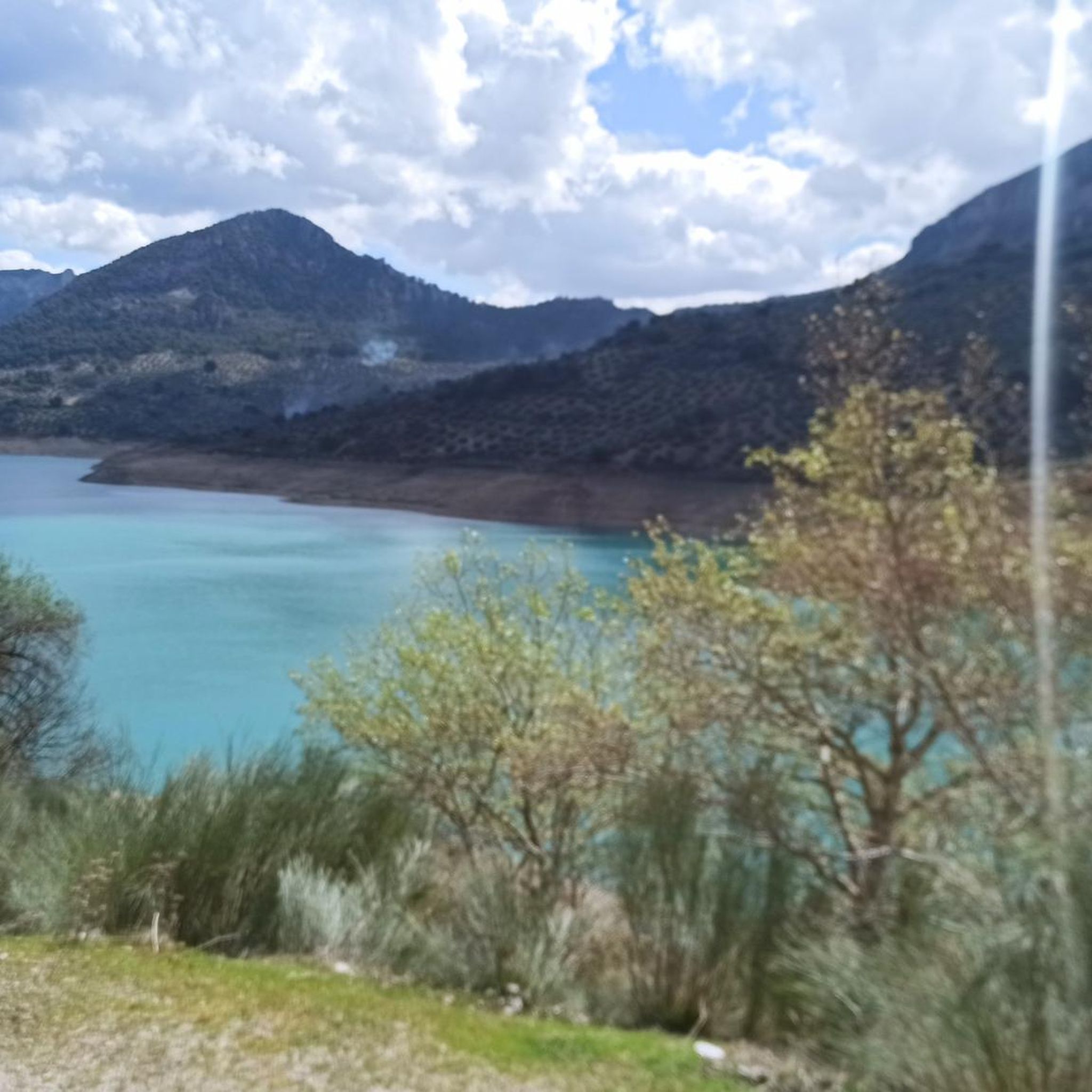
Viewpoint with panoramic views of the Quiebrajano reservoir and its surrounding mountains.
3
0
Small refuge at 1,154 meters above sea level, near the famous area of Cañada de las Hazadillas. Easily accessible and in an environment of singular beauty, it has become one of the most traveled routes in the Sierra Sur.
0
0
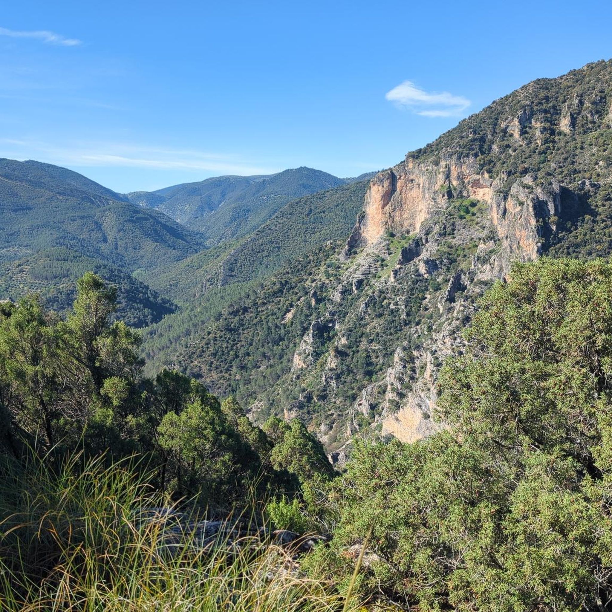
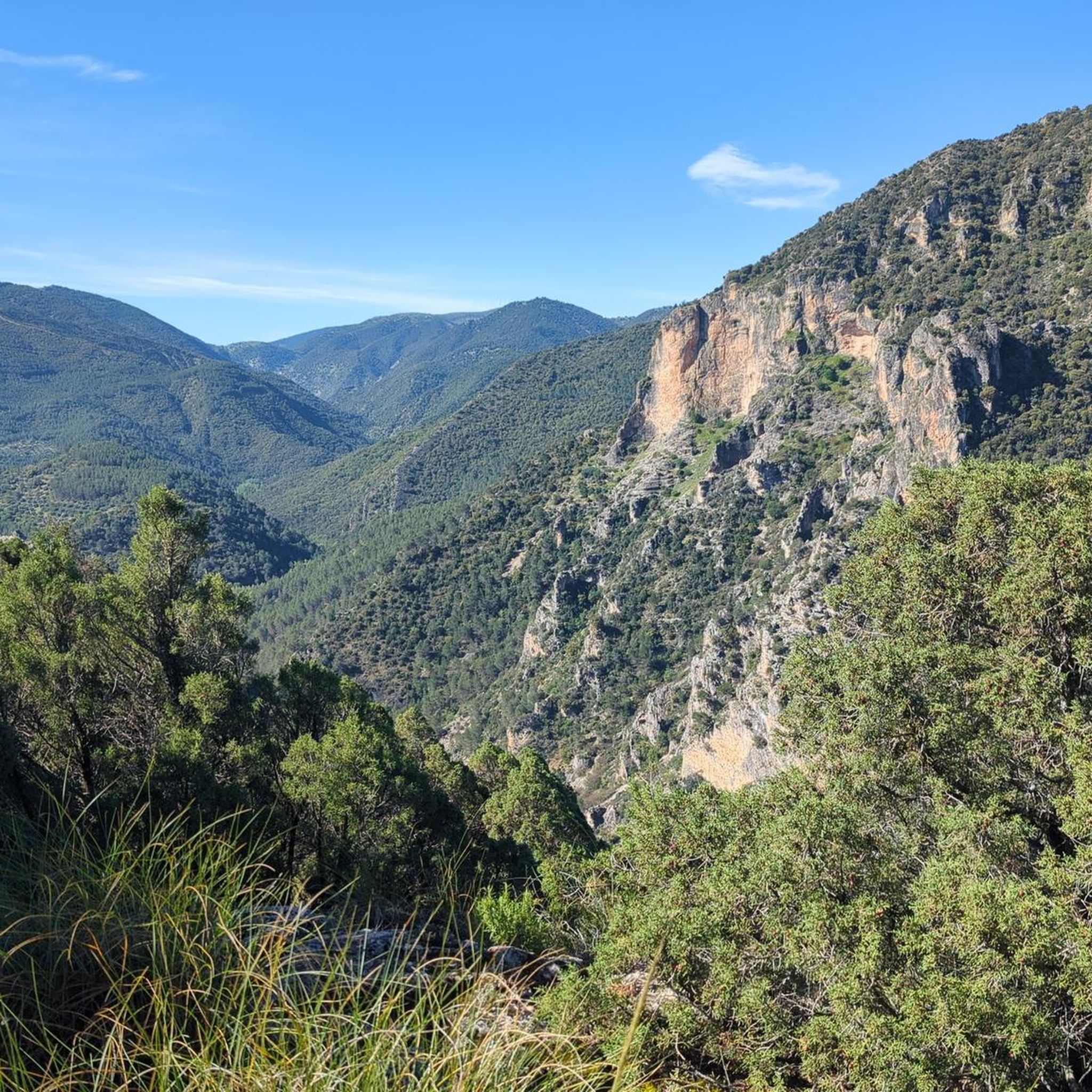
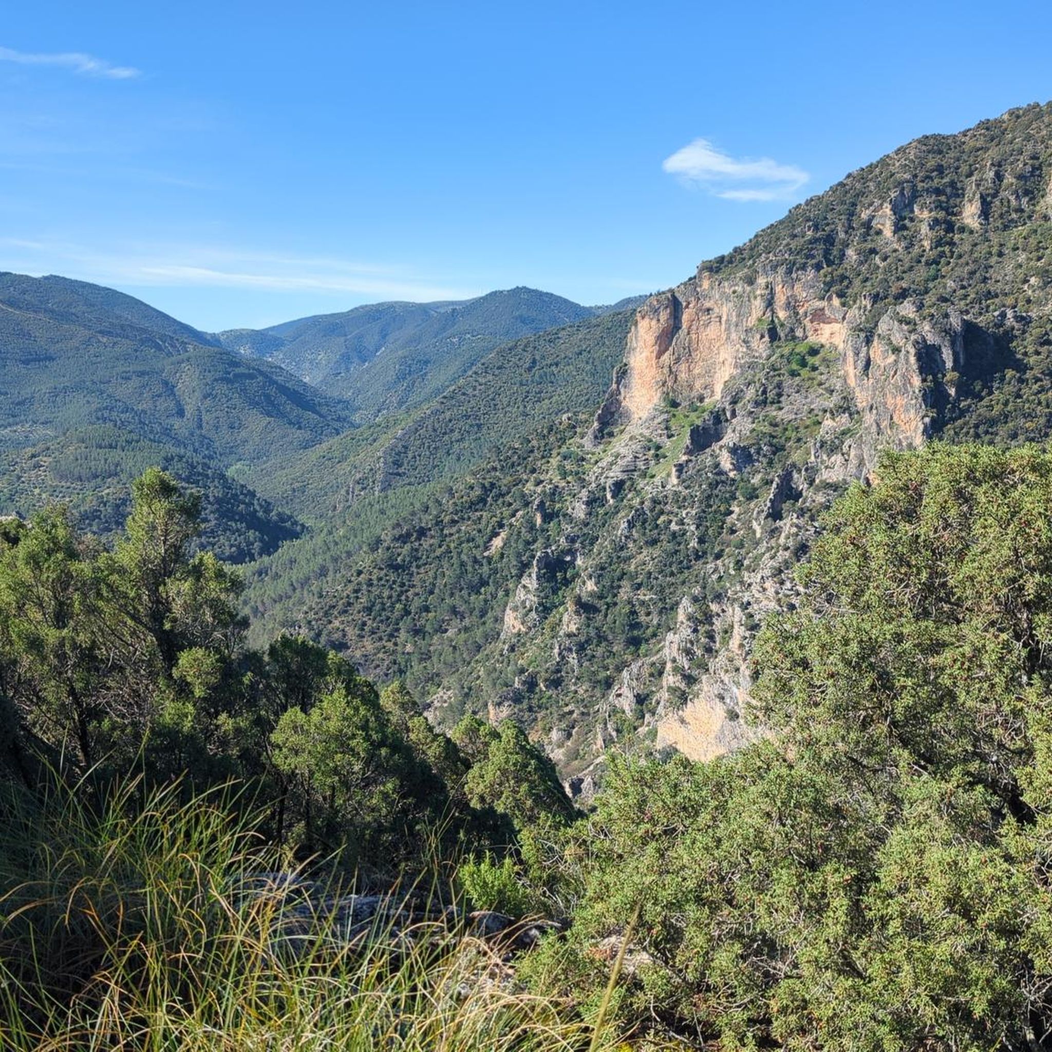
Viewpoint with wonderful views of the Quiebrajano valley, Otiñar and in the distance Jabalcuz and Jaén. In front of us, the majestic La Pandera is shown, with its 1872 meters of altitude.
1
0

Frequently Asked Questions
How many hiking trails are available around Campillo De Arenas?
There are over 20 hiking trails around Campillo De Arenas, offering a diverse range of experiences from easy walks to more challenging routes through mountainous terrain and lush forests.
Are there any easy hiking trails suitable for beginners or leisurely walks?
Yes, Campillo De Arenas offers several easy trails. One option is the Cruz de la Calamba Refuge – Cruz de la Chimba Refuge loop from Sendero Cruz de la Chimba, which is 3.9 miles (6.3 km) long and typically takes under 2 hours to complete. These trails often lead through serene woodlands and offer gentle gradients.
What kind of terrain can I expect on hikes in Campillo De Arenas?
The terrain around Campillo De Arenas is predominantly mountainous, characterized by the Sierra Mágina and Sierra de Campillo regions. You'll encounter lush forests of holm oaks, gall oaks, and junipers, as well as impressive geological formations like the Puerta Arenas Gorge. Many routes also offer views of reservoirs and river valleys.
Are there any circular hiking routes in the area?
Yes, there are several circular routes. A notable one is the challenging Miradores del embalse del Quiebrajano - circular by the collado de la cañada del Sabinar, which is 14.0 miles (22.5 km) long and provides extensive views of the Quiebrajano reservoir. Another moderate option is the Valdearazo Bridge loop from Cerro Cortijuelo, covering 12.2 km.
Can I find any hikes with waterfalls or water features?
Yes, the area is known for its water features. The Chorreras del Río Vadillo offers a series of natural waterfalls surrounded by scenic trails. Additionally, many routes provide views of the Quiebrajano Reservoir, a significant natural interest point in the municipality.
What are some notable viewpoints or scenic spots along the trails?
Hikers can enjoy breathtaking views from various points. The La Peñuela recreational area, just outside town, features a viewpoint with impressive vistas. The Cruz de la Chimba Trail also offers expansive views. For reservoir views, consider the View of Quiebrajano Reservoir highlight.
Are there any family-friendly areas or attractions near the hiking trails?
La Peñuela, located 2.5 km from Campillo de Arenas, is a welcoming picnic and recreational area with shaded spots and a water fountain, making it ideal for family outings. It also serves as a starting point for leisurely walks. You can also explore nearby settlements like Valdepeñas de Jaén or Cambil.
What do other hikers enjoy most about hiking in Campillo De Arenas?
The hiking routes in Campillo De Arenas are highly rated by the komoot community, with an average score of 4.5 stars from over 40 reviews. Hikers often praise the diverse landscapes, from mountainous terrain to lush forests, and the impressive natural features like gorges and reservoir views.
Is there parking available at the trailheads?
While specific parking details for every trailhead are not listed, many popular hiking areas in natural parks and rural regions of Spain typically offer designated parking zones or roadside parking near trail access points. It's advisable to check local signage upon arrival.
What is the best season to hike in Campillo De Arenas?
The region's Mediterranean climate generally makes spring and autumn ideal for hiking, offering pleasant temperatures and vibrant natural scenery. Summers can be hot, especially at midday, while winters are milder but may see cooler temperatures at higher elevations.
Are there any interesting landmarks or points of interest to explore besides the trails?
Beyond the trails, you can visit historical markers like the Vítor of Carlos III. The area also features the impressive Quibrajano Dam and the natural Santa Coloma aquifer spring, offering additional points of interest.
How difficult are the hikes in Campillo De Arenas?
The hikes in Campillo De Arenas cater to various ability levels. While there are easy routes, the majority are moderate, and some, like the Miradores del embalse del Quiebrajano - circular by the collado de la cañada del Sabinar, are considered difficult due to their length and elevation gain. You can find options ranging from short, gentle walks to longer, more strenuous mountain treks.
Most popular attractions around Campillo De Arenas

Get inspired with the komoot mobile app


Explore more
Browse the best Hikes in other regions.
