The best mountain hikes around Ciśniańsko-Wetliński Park Krajobrazowy
4.8
(84)
503
hikers
23
hikes
Mountaineering routes around Ciśniańsko-Wetliński Park Krajobrazowy traverse the Western Bieszczady Mountains in southeastern Poland, characterized by four parallel mountain ranges that increase in height eastward. The terrain features deep river incisions forming picturesque valleys and gorges, with over 80% of the park covered by extensive Carpathian beech forests. The region includes approximately twenty peaks exceeding 1,000 meters, offering challenging ascents and meadows on peaks like Jasło and Łopiennik for viewing points.
Best mountaineering routes around Ciśniańsko-Wetliński Park Krajobrazowy
- The most…
Last updated: August 20, 2026
5.0
(2)
17
hikers
19.0km
06:03
770m
770m
Hard mountaineering route. Very good fitness required. Easily-accessible paths. Suitable for all skill levels.
5.0
(3)
15
hikers
9.44km
03:27
600m
600m
Moderate mountaineering route. Good fitness required. Easily-accessible paths. Suitable for all skill levels.

Sign up for free
12
hikers
7.33km
02:40
460m
460m
Moderate mountaineering route. Good fitness required. Easily-accessible paths. Suitable for all skill levels.
5.0
(1)
14
hikers
8.41km
02:27
230m
230m
Moderate mountaineering route. Good fitness required. Easily-accessible paths. Suitable for all skill levels.
4
hikers
22.1km
06:43
670m
670m
Hard mountaineering route. Very good fitness required. Easily-accessible paths. Suitable for all skill levels.
Get access to more routes and recommendations from other explorers.
Sign up for free
Already have an account?
Our route recommendations are based on thousands of hikes, rides, and runs completed by other people on komoot.
Start today with a free account
Your next adventure awaits.
Login or Signup
Popular around Ciśniańsko-Wetliński Park Krajobrazowy

Main Beskids Trail — the longest Polish Mountain Trail
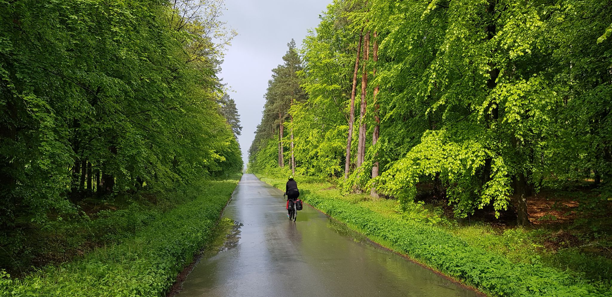
To the east, Eden – La Green Velo Szlak (part one)
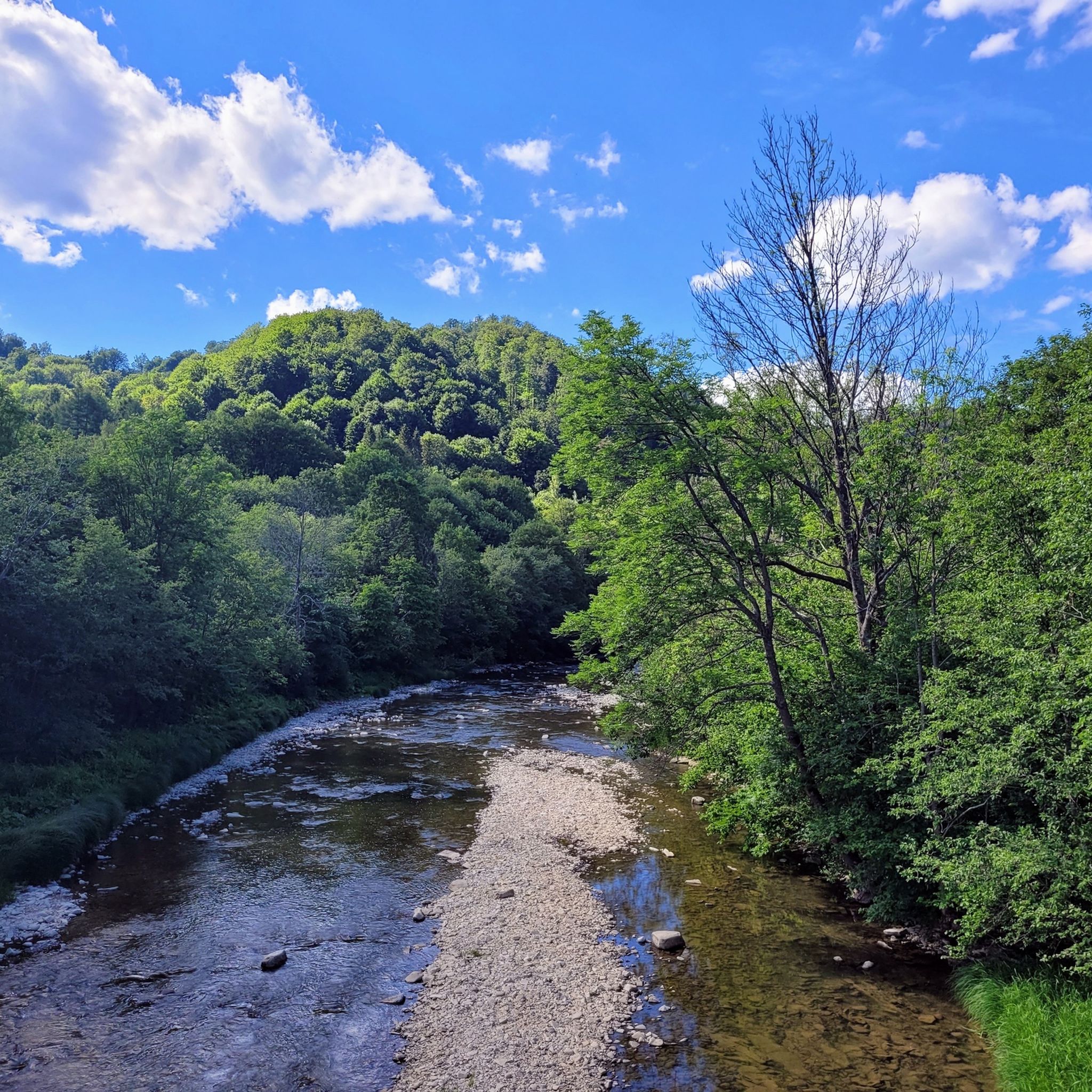
Hiking around Ciśniańsko-Wetliński Park Krajobrazowy
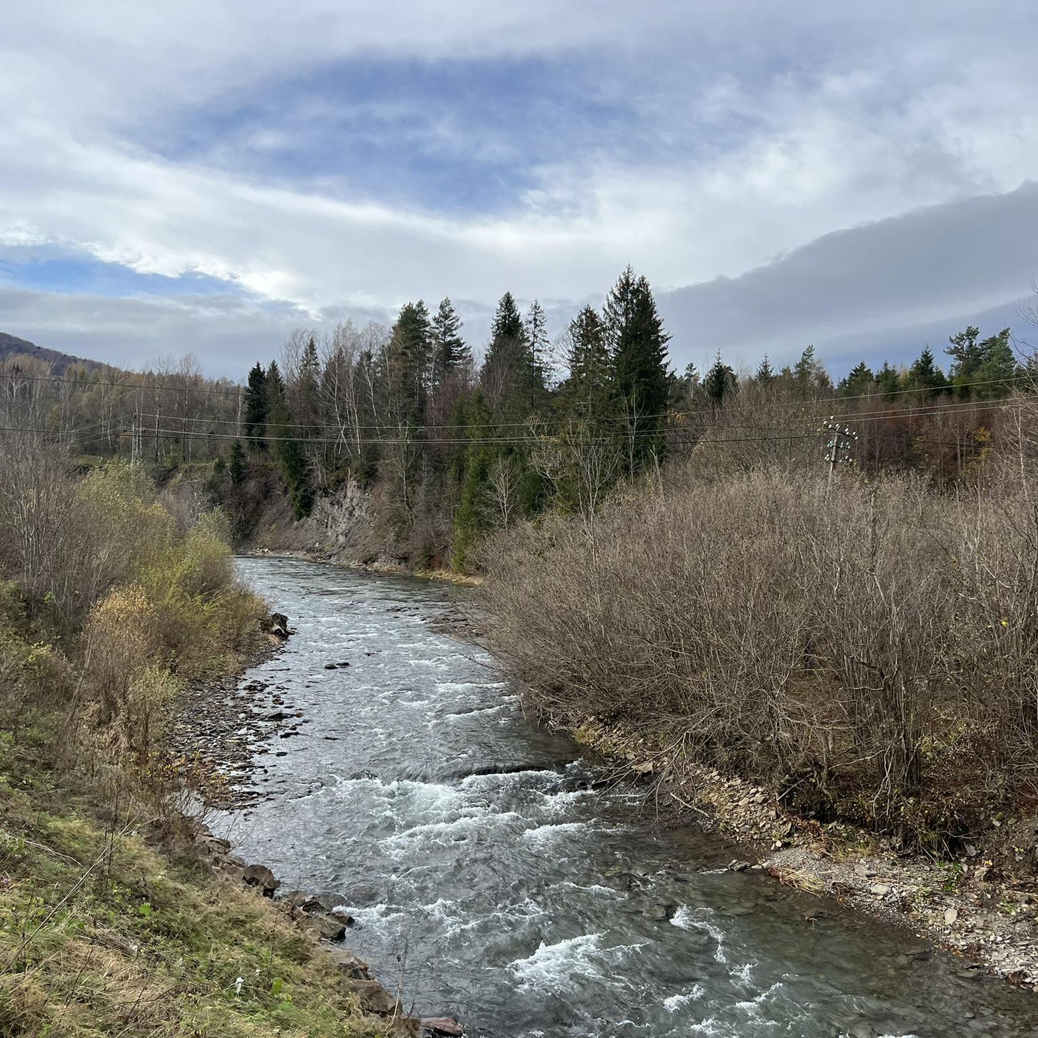
Running Trails around Ciśniańsko-Wetliński Park Krajobrazowy
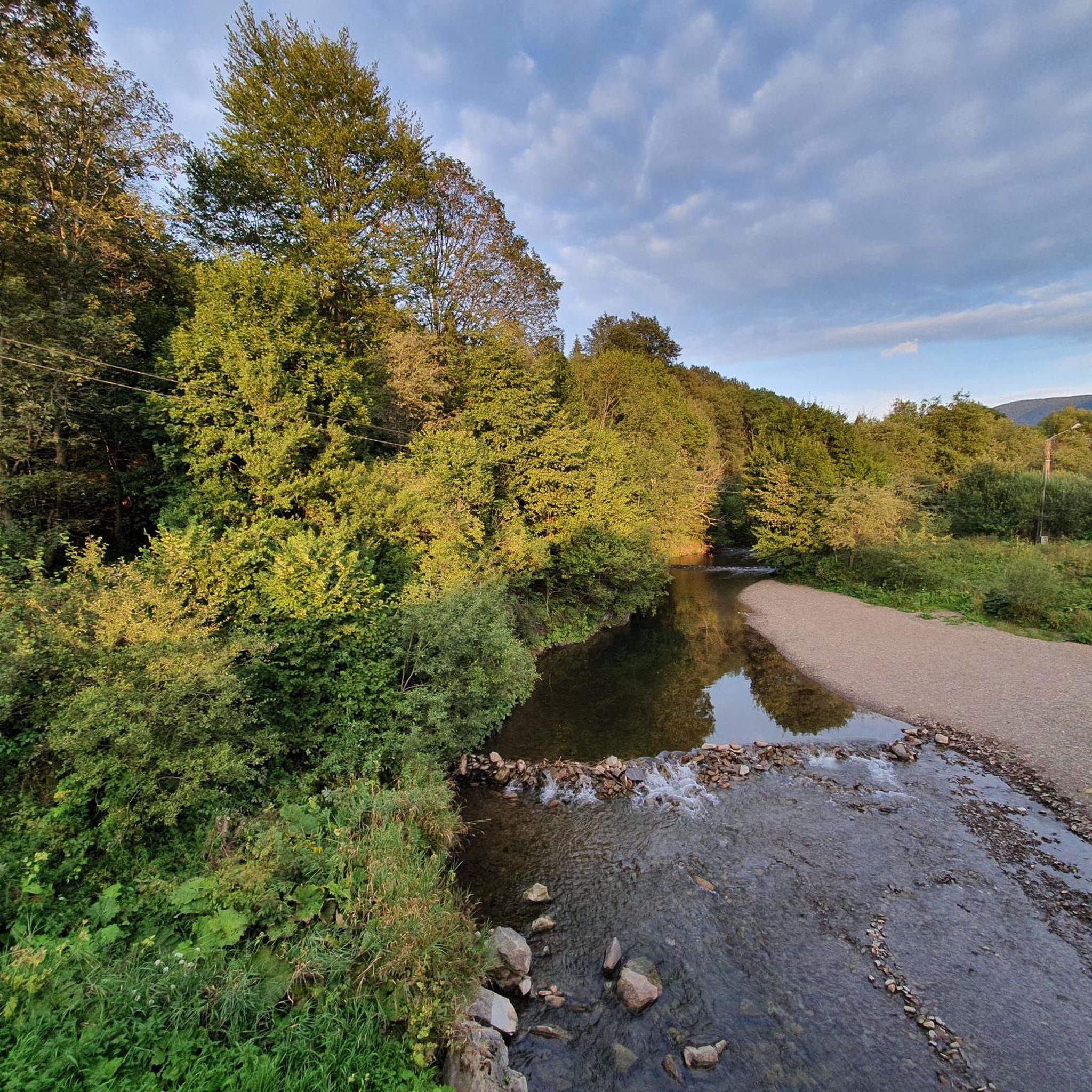
Cycling around Ciśniańsko-Wetliński Park Krajobrazowy
Road Cycling Routes around Ciśniańsko-Wetliński Park Krajobrazowy
MTB Trails around Ciśniańsko-Wetliński Park Krajobrazowy
Gravel biking around Ciśniańsko-Wetliński Park Krajobrazowy
Other adventures around Ciśniańsko-Wetliński Park Krajobrazowy


Tips from the Community

More information: https://gdziebytudalej.pl/na-widokowe-jaslo-i-graniczny-stryb/ https://www.twojebieszczady.net/piesze/przyslup_jaslo.php https://magazynnaszczycie.pl/artykul/skiturowa-klasyka-bieszczadow-n1510246
1
0
Jasło (1153 m a.s.l.[1]) – a mountain in the Western Bieszczady Mountains, also called Wielki Jasłem in contrast to the nearby Mały Jasłem. Located within the Cisna commune in the Lesko county. This mountain, formerly called Jasiel or Wasiel, constitutes the highest culmination of the ridge stretching from Okrąglik in the border range north-westwards, towards Cisna. At the summit, there is a geodetic tower, and below it, a plaque marking the peak. The mountain slopes are covered with Carpathian beech forest and beech-fir forests, a significant part of which are old-growth stands. The clearings occurring in the summit areas were likely formed as a result of human activity. This is evidenced by the lack of stunted beech growth at the forest edge, as well as individual trees growing among the alpine meadows. The presence of these clearings provides views in all directions, including towards Slovakia. Many rare animal species live in this area, including: wolves, bears, lynxes, capercaillies. This area is an important link in the "Carpathian" ecological corridor. The Jasło mountain area is protected as part of the Ciśniańsko-Wetliński Landscape Park, it lies in the buffer zone of the Bieszczady National Park, the International Biosphere Reserve "Eastern Carpathians" and is protected within the European network of protected areas Natura 2000 Bieszczady (PLC 180001). Since 1998, successive mayors of the Cisna commune have promoted the construction of ski lifts on the slopes of Jasło, seeing it as an opportunity for economic development of the commune and for generating additional income for its residents. The planned construction of a large winter sports center in the form of three lifts 2 km long, a half-pipe for snowboarders, a summer pedestrian lift and a mountain bike lift contradicts national and EU environmental protection law. In 1998, the Provincial Commission for Nature Protection and the Scientific-Social Council of the Carpathian Landscape Parks Complex in Krosno gave a negative opinion on the possibility of locating the investment on the slopes of the mountain, which lies in the II usage zone, where such investments are not permitted, in accordance with the protection plan of the Ciśniańsko-Wetliński Landscape Park. Furthermore, investments significantly impacting the environment are not permitted in Natura 2000 areas. Information source: https://pl.wikipedia.org/wiki/Jas%C5%82o_(g%C3%B3ra)
1
0

A mountain at an altitude of 1,153 meters above sea level in Lesko County. It's called Wielki Jasło (Great Jasło) to distinguish it from the nearby Mały Jasło. The mountain is cleared here and uncrowded, offering a beautiful panorama in every direction.
1
0
Ah, those Bieszczady peaks—why go to paradise when you're already there? Okrąglik, at 1,106 meters above sea level, is in the Western Bieszczady Mountains on the Polish-Slovak border. The views are spectacular—especially towards Slovakia.
1
0

A good place to rest and shelter from the rain.
0
0

The shelter is in good condition and there is a table next to it, a good place for a break.
0
0
The entrance from the Wyżniańska Pass is quite steep but it is possible and worth it :)
0
0

Frequently Asked Questions
How many mountaineering routes are available in Ciśniańsko-Wetliński Park Krajobrazowy?
There are over 25 mountaineering routes in Ciśniańsko-Wetliński Park Krajobrazowy, offering a diverse range of experiences for different skill levels. The komoot community has explored these routes over 500 times.
Are there any easy mountaineering routes for beginners or families?
Yes, while many routes are moderate to difficult, there is at least one easy mountaineering route available. The park's diverse terrain means you can find gentler paths, especially in the valleys, which are suitable for those new to mountaineering or families with children. For example, the area around the Sine Wiry Nature Reserve offers more accessible trails.
What kind of natural landmarks or viewpoints can I expect to see on these routes?
The park is rich in natural beauty. You can expect to see impressive gorges in the valleys of the Wetlinka, Solinka, and Osława rivers. Many routes lead to peaks with expansive views, such as the meadows on Jasło, Fereczata, and Łopiennik. Don't miss the Jeleni Skok Viewpoint for stunning panoramas, or the Old Railway Viaduct over the Osława Rapids for a unique historical landmark.
Are there any circular mountaineering routes in the park?
Yes, several routes are designed as loops, allowing you to start and end in the same location. A challenging option is the Wielka Rawka – Mała Rawka Peak loop from Wetlina, which offers extensive views. For a moderate experience, consider the Mountaineering loop from Przysłup.
What is the best time of year for mountaineering in Ciśniańsko-Wetliński Park Krajobrazowy?
The best time for mountaineering is typically from late spring to early autumn (May to October) when the weather is milder and trails are generally clear of snow. During winter, the park transforms into a snowy landscape, offering opportunities for cross-country skiing, but mountaineering requires specialized equipment and experience due to snow and ice conditions.
Are there any routes that lead to prominent peaks?
Absolutely. The park features approximately twenty peaks exceeding 1,000 meters. You can ascend to Greater Jaslo or Łopiennik Peak (1,069 m) for rewarding views. The Smerek Summit – Smerek loop from Olszyna Łęgowa w Kalnicy is another popular choice to reach a significant summit.
What do other mountaineers say about the routes in Ciśniańsko-Wetliński Park Krajobrazowy?
The routes in Ciśniańsko-Wetliński Park Krajobrazowy are highly rated by the komoot community, with an average score of 4.9 stars from nearly 90 reviews. Mountaineers often praise the wild and natural character of the extensive Carpathian beech forests and the panoramic vistas from the peaks.
Are there any routes that pass through nature reserves?
Yes, the park is home to several nature reserves. You can explore the Rezerwat Zwiezło loop from Przełom Osławy pod Duszatynem, which takes you through the Sine Wiry Nature Reserve, known for its impressive Duszatyn Lakes and river gorges.
What is the typical duration for a mountaineering route in this region?
Route durations vary significantly based on distance and difficulty. Moderate routes, such as the Smerek Summit – Smerek loop, can take around 3.5 hours. More challenging and longer routes, like the Mała Rawka – Wielka Rawka loop from Wetlina, can extend to over 6 hours, requiring good fitness and preparation.
Are there any specific challenges or terrain features to be aware of?
The park's terrain is characterized by four parallel mountain ranges and deep river incisions, meaning routes can involve significant elevation changes. Over 80% of the park is covered by Carpathian beech forests, so you'll often be hiking through wooded areas. Some routes require good fitness and sure-footedness, especially on steeper ascents and descents.
Can I find places to eat or stay near the mountaineering trails?
While the park is wild, villages like Wetlina and Kalnica, which serve as starting points for many routes, offer amenities. You can typically find local cafes, pubs, and accommodation options in these areas to refuel and rest after your mountaineering adventures.
Most popular routes around Ciśniańsko-Wetliński Park Krajobrazowy
Most popular attractions around Ciśniańsko-Wetliński Park Krajobrazowy

Get inspired with the komoot mobile app


Explore more
Browse the best Mountain Hikes & Routes in other regions.
