The best walks and hikes around El Payo
4.4
(37)
242
hikers
21
hikes
Hiking around El Payo offers access to mountainous terrain and historical paths. The region features routes that traverse hills, forests, and passes, providing varied landscapes for exploration. Trails often lead through areas with significant elevation changes, characteristic of the Sierra de Gata foothills. The network includes options ranging from easier walks to more challenging ascents.
Best hiking trails around El Payo
- The most popular hiking route is San Martín de Trevejo to Puerto de San Martín via Calzada Romana,…
Last updated: August 17, 2026
4.2
(5)
46
hikers
12.6km
03:54
490m
490m
Moderate hike. Good fitness required. Easily-accessible paths. Suitable for all skill levels.
5.0
(3)
17
hikers
10.2km
03:17
420m
420m
Moderate hike. Good fitness required. Mostly accessible paths. Sure-footedness required.

Sign up for free
4.3
(3)
7
hikers
9.76km
03:25
490m
490m
Moderate hike. Good fitness required. Mostly accessible paths. Sure-footedness required.
4.5
(2)
2
hikers
10.2km
03:21
420m
420m
Hard hike. Good fitness required. Sure-footedness, sturdy shoes and alpine experience required.
4.3
(4)
34
hikers
5.80km
01:45
190m
190m
Easy hike. Great for any fitness level. Easily-accessible paths. Suitable for all skill levels.
Get access to more routes and recommendations from other explorers.
Sign up for free
Already have an account?
Our route recommendations are based on thousands of hikes, rides, and runs completed by other people on komoot.
Start today with a free account
Your next adventure awaits.
Login or Signup
Tips from the Community

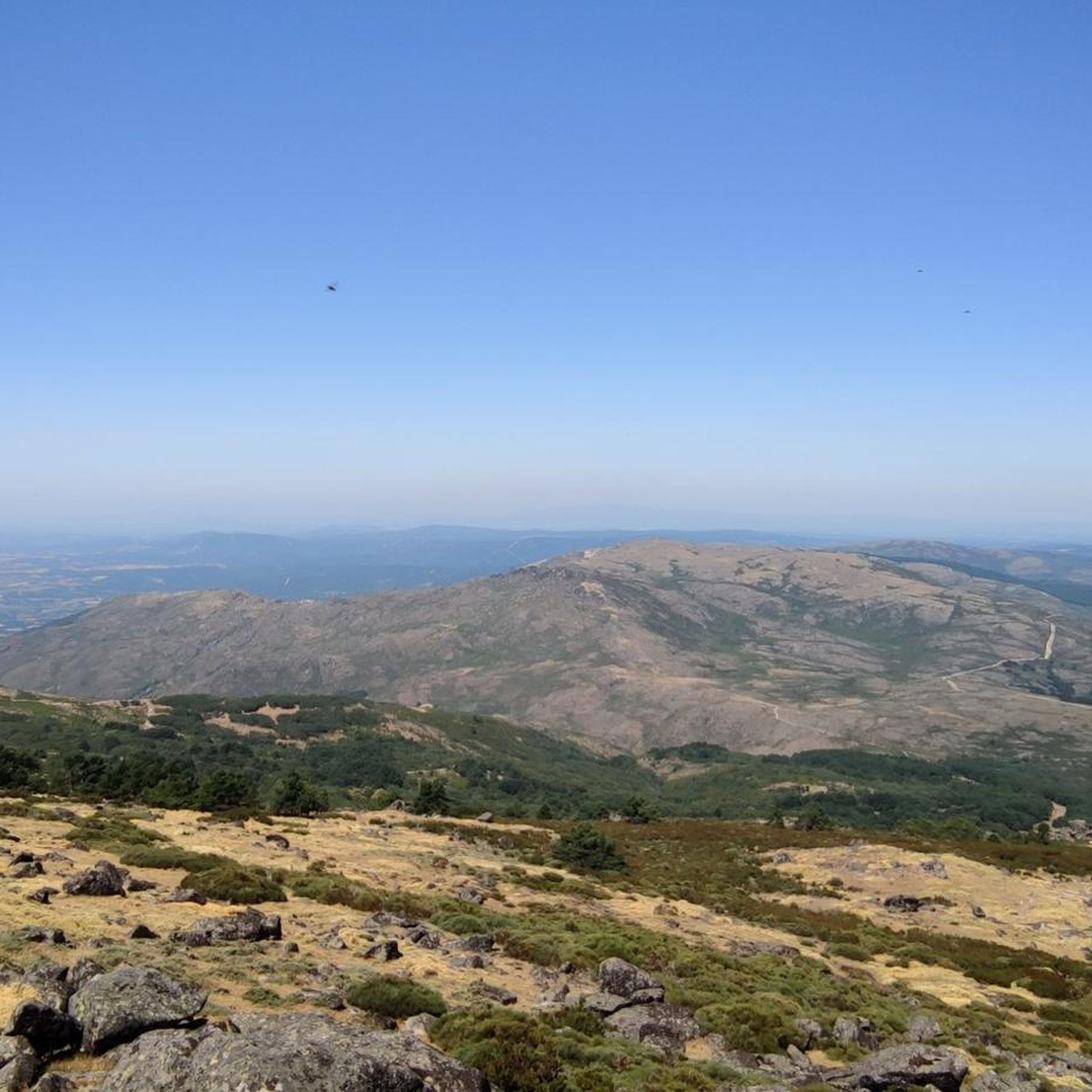
At 1,487 metres above sea level, it is one of the highest peaks in the Sierra de Gata. The route to climb Pico Jálama is popular with hikers and offers spectacular views of the region. The route begins in the town of Acebo and passes by the Mirador de La Ventosa and Puerto de Perales.
7
0
San Martín de Trevejo is a Spanish municipality in the province of Cáceres, in the autonomous community of Extremadura. It is located in the extreme northwest, in the Sierra de Gata region, very close to the Portuguese border and the province of Salamanca. It is located in a valley at the foot of Mount Jálama. Its inhabitants are mañegas and mañegus, and their peculiar speech or “A Fala” is called “Mañegu”. It has been listed as One of the Most Beautiful Towns in Spain since 2019.
2
0

This is a nice hiking trail with lots of beautiful trees and shade. It's also a good place to hunt for mushrooms at the right time of year.
2
0
This mountain pass is also the line between Extremadura and Castilla León. The trail to here connects to the highway at this point.
1
0
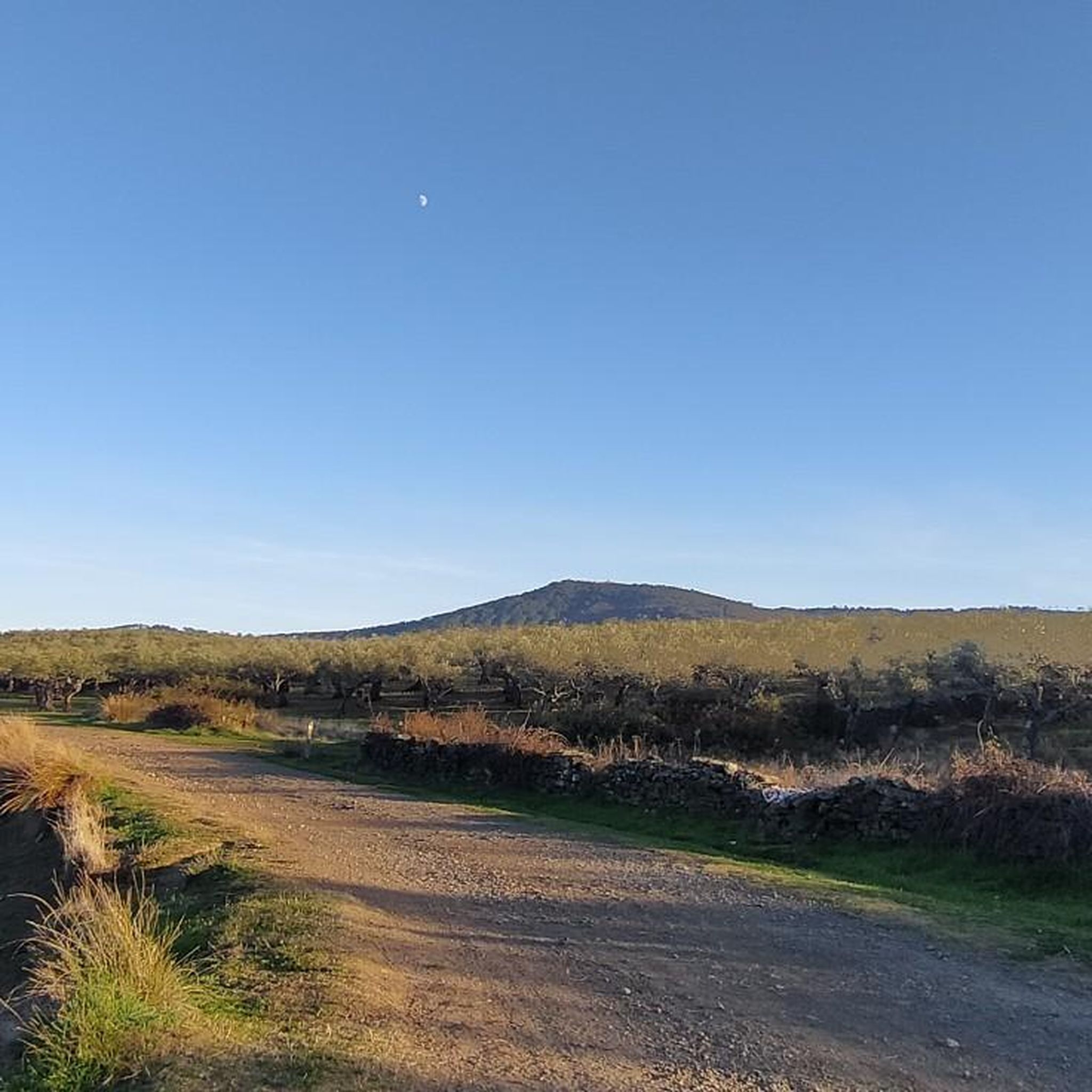
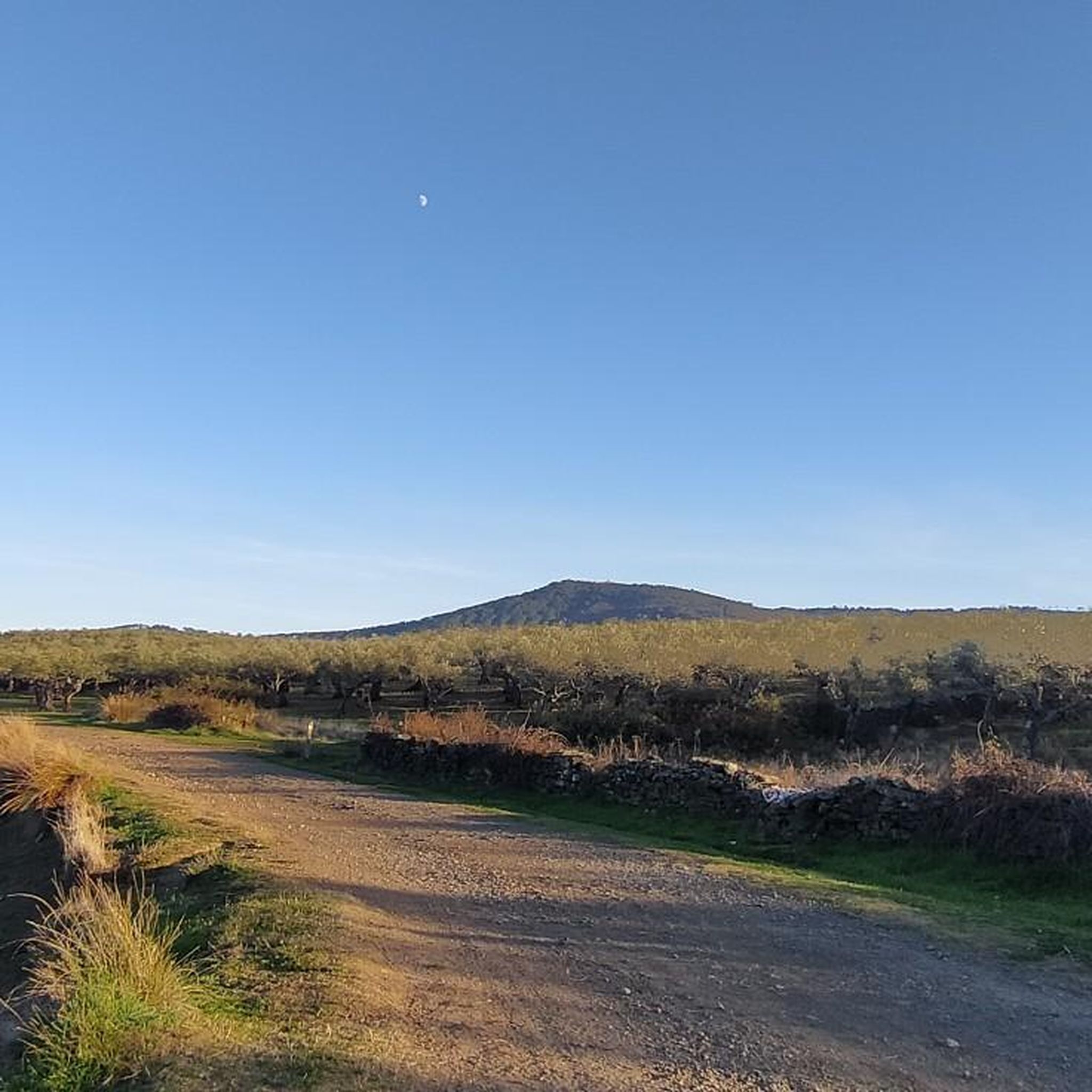
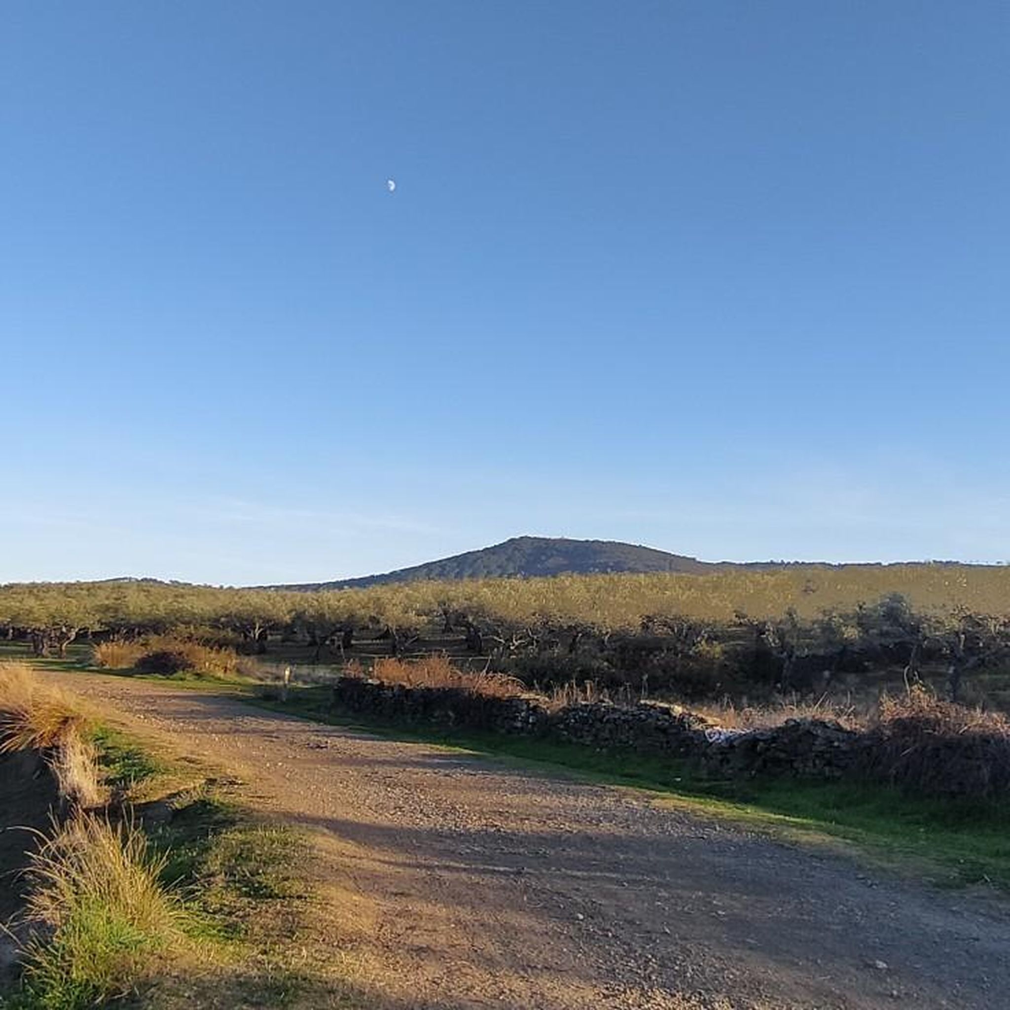
This small and pleasant town is located in a valley full of olive and oak trees that make the landscape more beautiful.
1
0

In the valley surrounded by olive and oak trees the small town of San Martín de Trevejo. Great place to stop for a coffee and a bite to eat.
1
0

The town is located in the extreme northwest of the peninsula, in the Sierra de Gata region, very close to the Portuguese border and the province of Salamanca. It is nestled in a valley at the foot of Mount Jálama.
0
0

The Jálama peak with its summit at 1487 meters above sea level is one of the highest peaks in the northwest of Extremadura and the views are amazing. Going up there requires good physical condition, the path you take will be equally steep both going up and down, remember to take everything you need, on the way you will not have anything available, only beautiful views!
2
0
Frequently Asked Questions
How many hiking trails are available in El Payo?
There are over 20 hiking trails documented around El Payo, offering a variety of experiences from easy strolls to more challenging ascents through mountainous terrain.
Are there easy hiking trails suitable for beginners or families in El Payo?
Yes, El Payo features 5 easy hiking routes perfect for beginners or families. A pleasant option is the San Martín de Trevejo loop from San Martín de Trevejo, which is about 3.6 miles (5.8 km) long and takes around 1 hour 45 minutes to complete.
What are the typical durations for hikes around El Payo?
Hikes in El Payo vary in length and duration. Moderate trails like San Martín de Trevejo to Puerto de San Martín via Calzada Romana can take nearly 4 hours for 7.8 miles (12.6 km), while shorter, easier loops are often completed in under 2 hours.
Are there any circular walks in El Payo?
Yes, several circular routes are available. A popular choice is the Jálama — circular from DSA-390, which is 6.1 miles (9.8 km) long and typically takes around 3 hours 25 minutes, offering views of the Jálama peak.
What kind of natural attractions can I see along the hiking trails?
The trails around El Payo offer access to various natural sights. You can reach the Pico Jálama Summit for panoramic views or discover natural pools like the Riofrío Natural Pool and the Natural Pools of the Jevero River (Acebo).
Are there any historical landmarks or interesting places to explore near the trails?
Absolutely. Hikers can encounter historical sites such as the Torre de Almenara, an ancient tower, or visit charming villages like San Martín de Trevejo, known for its unique architecture and culture.
What do other hikers enjoy most about hiking in El Payo?
The area is highly rated by the komoot community, with an average score of 4.4 stars from over 25 reviews. Hikers often praise the varied landscapes, from mountainous paths to historical routes, and the sense of tranquility found on the trails.
What is the best season for hiking in El Payo?
Spring and autumn are generally ideal for hiking in El Payo, offering pleasant temperatures and vibrant scenery. Summers can be hot, especially at lower elevations, while winters may bring colder conditions and occasional snow at higher altitudes, particularly around Pico Jálama.
Are the hiking trails in El Payo dog-friendly?
Many trails in the El Payo region are suitable for dogs, but it's always recommended to keep them on a leash, especially in areas with livestock or protected wildlife. Ensure you carry enough water for your pet, particularly during warmer months.
Where can I find parking for trailheads in El Payo?
Parking is typically available near the starting points of many popular trails, especially in or near villages like San Martín de Trevejo or at designated recreational areas. Specific parking information can often be found on individual route pages or local tourism resources.
Are there options for wild swimming near El Payo's hiking trails?
Yes, the region is known for its natural pools. The Riofrío Natural Pool and the Natural Pools of the Jevero River (Acebo) are popular spots where you can cool off after a hike, especially during the warmer seasons.
What should I wear for hiking in El Payo?
Given the varied terrain and potential for elevation changes, layered clothing is advisable. Sturdy hiking boots are essential for rocky or uneven paths. Always check the weather forecast before heading out and bring sun protection, water, and snacks.
Most popular attractions around El Payo

Get inspired with the komoot mobile app


Explore more
Browse the best Hikes in other regions.
