The best MTB trails around Campo De Villavidel
4.0
(2)
62
riders
5
rides
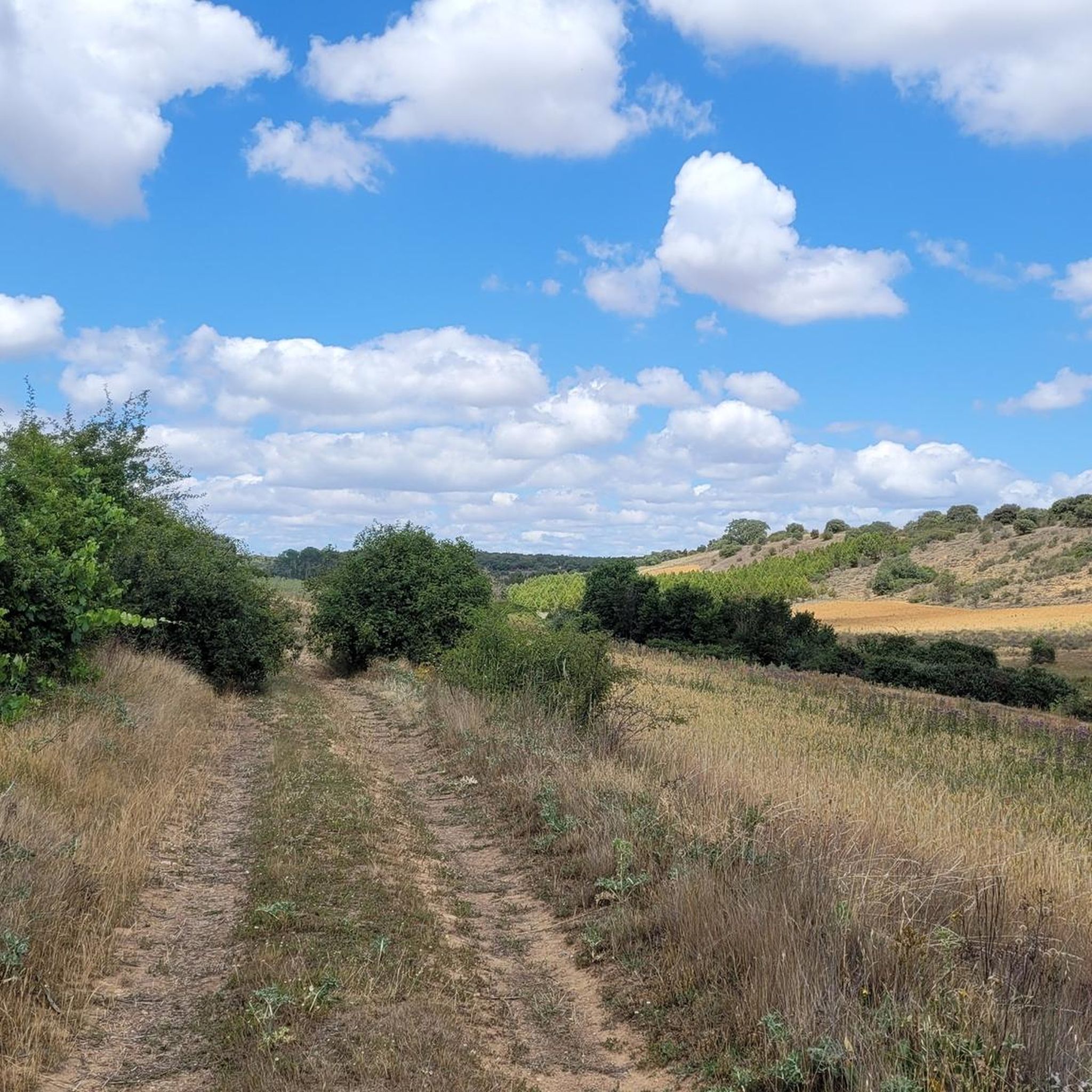
Mountain bike trails Campo De Villavidel are situated within the Tierra de Campos region, characterized by a vast, desolate plain with minimal relief. This area is an elevated plateau, averaging around 720 meters in height, predominantly composed of compact clay and irrigated by the Esla River. The landscape offers extensive plains, which are generally flat and lack the significant elevation changes or rugged features typically sought by mountain bikers.
Best mountain bike trails around Campo De Villavidel
- The most popular…
Last updated: June 28, 2026
4.0
(2)
45
riders
Hard mountain bike ride. Very good fitness required. Suitable for all skill levels.
9
riders
Hard mountain bike ride. Good fitness required. Advanced riding skills necessary. Some portions of the route may require you to push your bike.

Sign up for free
2
riders
42.4km
02:39
250m
250m
Moderate mountain bike ride. Good fitness required. Suitable for all skill levels.
3
riders
64.2km
05:01
340m
340m
Hard mountain bike ride. Very good fitness required. Advanced riding skills necessary. Some portions of the route may require you to push your bike.
2
riders
37.2km
02:20
180m
180m
Moderate mountain bike ride. Good fitness required. Suitable for all skill levels.
Our route recommendations are based on thousands of hikes, rides, and runs completed by other people on komoot.
Start today with a free account
Your next adventure awaits.
Login or Signup
Popular around Campo De Villavidel
Tips from the Community

A stopover town that knows exactly what it is: a necessary pause. There's no artifice here, just routine, backpacks, bikes leaning against the wall, and glances exchanged without questions. San Martín doesn't try to impress you; it welcomes you, helps you clear your head, and lets you move on. And that, on the road, is worth more than a thousand promises.
0
0
It offers one of the most expansive views of the valley and the city. From here, you can make out the cathedral towers, the winding Bernesga River, and, on clear days, the mountains in the distance. It was a former lookout point during the Spanish Civil War, and remnants of trenches still lie hidden among the grass. Today, it's a perfect spot to watch the sunset and feel the light slowly fade over the Leonese landscape.
0
0
Located beside the Torío River, this modern church marks the southern entrance to León with a simplicity that contrasts with the mountains in the background. It was built on the site where locals used to gather to cross the river when the old bridge overflowed. Every year, during the neighborhood festival, the bells ring at dusk, their sound mingling with the echo of the water. A small church that preserves the peaceful spirit of the river people.
1
0
The church tower of Valverde de la Virgen is visible from several rural roads in the area, ideal as a landmark and cultural stop on MTB or gravel routes. Its slender and sober silhouette stands out among the open landscape of León. Access by bike is easy, with paved terrain or compacted tracks depending on the approach to the route. It's a good excuse to stop, take a photo, and recharge your batteries before continuing on to destinations such as La Virgen del Camino or San Miguel del Camino. A good place to combine culture, easy riding, and plateau scenery.
0
0
High on a plateau in León, between the Porma and Esla rivers, lie the ruins of Lancia, one of the most important cities of the ancient Asturians and later a major Roman enclave. Today, you can explore its paths among the remains of thermal baths, cobblestone streets, ovens, and dwellings that tell of centuries of history. Ideal as a cultural stop en route, whether you're riding along dirt roads or the secondary road that runs alongside it. Easy access by bike, with great views and space to rest or have a picnic.
1
0

A beautiful, lively square right at the entrance to the old town of Leon.
4
0

EL LEÓN DE SALEAL: We go back to Roman times to understand part of the theme of this sculpture. Cloacina, in Roman mythology, was the goddess who ruled over the Cloaca Máxima, the sewer system of Rome. The sewer name comes from the name of this goddess, because thanks to the origin of sewer systems, a quality of life was achieved in terms of sanitation of urban environments and public health from the beginning to the present day. It should be remembered that the origin of the name of this city and province of León comes from the word legio ("legion"). Legio VII Gemina was the Roman camp that settled here and with it the origin of the city of León. A lion with strength and claws as a symbol of the sanitation system (the modern version of Cloacina Máxima) in constant renewal and maintenance. The goal was achieved: to do something symbolic and reflect the efforts and human work of so many years, to give solidity to our public health and the health of the environment.
6
0
Very well done how the lion climbs out of the drain here
5
0
Frequently Asked Questions
What kind of terrain can I expect on mountain bike trails around Campo De Villavidel?
The terrain around Campo De Villavidel is predominantly flat, characterized by vast plains and agricultural fields. You'll find minimal elevation changes, with routes often following rural roads and paths alongside the Esla River. While not mountainous, the routes offer extensive views of the agricultural landscape.
Are there any easy mountain bike trails in Campo De Villavidel suitable for beginners?
The mountain bike trails around Campo De Villavidel are generally rated as moderate to difficult. There are no trails specifically classified as easy. The routes, while often flat, can be long and challenging due to distance and exposure to the elements across the open plains.
What are some of the longer mountain bike routes in the area?
For those seeking a longer ride, the Casa Botines Gaudí Museum – La Virgen del Camino loop from Palanquinos is a significant option, covering 88.6 miles (142.6 km) with over 600 meters of elevation gain. Another substantial route is the Lancia Archaeological Site – Iglesia de Puentecastro loop from Cembranos, which is 64.2 km long.
Are there any circular mountain bike routes available?
Yes, many of the mountain bike routes in Campo De Villavidel are designed as loops. For example, you can explore the Lancia Archaeological Site – Ancient City of Lancia loop from Mansilla de las Mulas, or the Martyrial Church of Marialba – Shrine of Ave Maria loop from Vega de Infanzones, both offering circular journeys through the plains.
What can I see along the mountain bike trails in Campo De Villavidel?
While the region is known for its open plains, you can encounter several points of interest. These include historical sites like the Pilgrim Cross Monument and various religious buildings such as the Monastery of Villaverde de Sandoval or the Church of Cubillas de los Oteros. You might also cross the Esla River Bridge near Mansilla de las Mulas.
What do other mountain bikers say about the trails in Campo De Villavidel?
The mountain bike routes in Campo De Villavidel are generally well-regarded by the komoot community, holding an average rating of 4.0 stars. Riders often appreciate the extensive plains and the opportunity to explore the agricultural landscape, despite the lack of significant elevation changes typical of mountain biking.
Is Campo De Villavidel a good destination for advanced mountain bikers?
While the terrain is largely flat, several routes are classified as difficult due to their length and exposure. Advanced riders might find the challenge in covering long distances across the open plains, such as the Casa Botines Gaudí Museum – La Virgen del Camino loop from Palanquinos, which demands significant endurance.
What is the best time of year to go mountain biking in Campo De Villavidel?
Given the open and exposed nature of the plains, spring and autumn are generally the most pleasant seasons for mountain biking. Summers can be very hot with little shade, and winters can be cold and potentially wet. Always check the weather forecast before heading out.
Are there any mountain bike trails that follow the Esla River?
Yes, many of the routes in Campo De Villavidel incorporate sections along the Esla River, which irrigates the region. These river sections often provide a scenic element to the otherwise agricultural landscape.
How many mountain bike trails are available on komoot for Campo De Villavidel?
There are currently 5 mountain bike trails documented on komoot for the Campo De Villavidel area, offering a range of moderate to difficult options across the plains.
Are there any routes that pass by ancient or archaeological sites?
Yes, you can explore routes that include historical points of interest. The Lancia Archaeological Site – Ancient City of Lancia loop from Mansilla de las Mulas is a notable example, allowing you to cycle through areas with historical significance within the flat landscape.
Most popular routes around Campo De Villavidel
Most popular attractions around Campo De Villavidel

Get inspired with the komoot mobile app


Explore more
Browse the best MTB trails in other regions.
