The best road cycling routes around Camporrobles
4.8
(4)
567
riders
33
rides
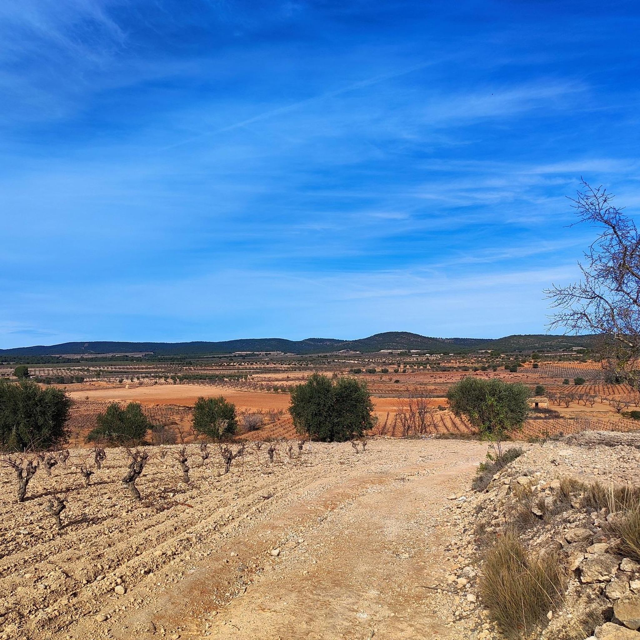
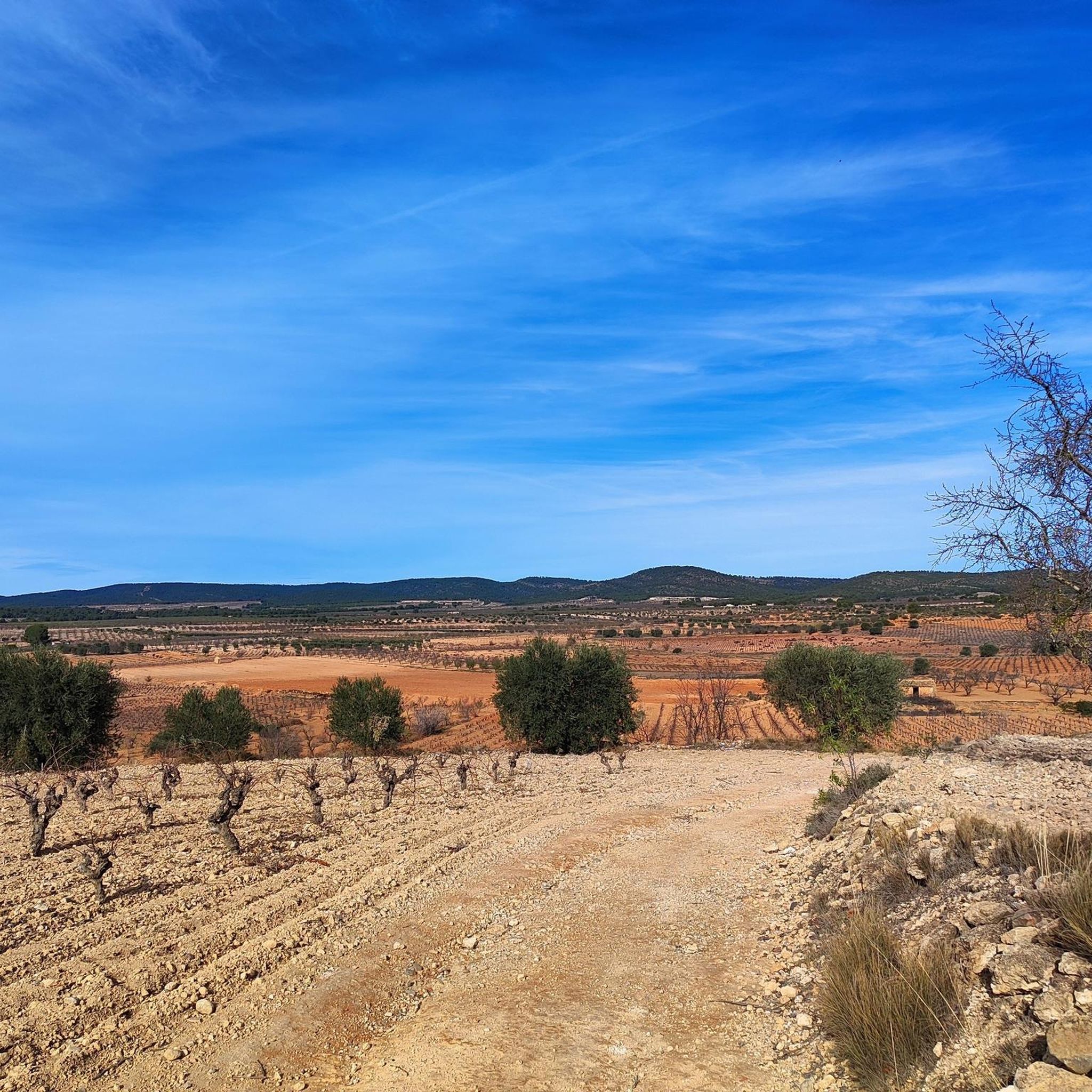
Road cycling routes around Camporrobles are situated at an elevation of 900 meters above sea level, offering diverse landscapes for cyclists. The terrain transitions between cultivated fields, including cereals, vineyards, and almond groves, and more rugged mountainous areas. This region features a mix of well-paved surfaces and some unpaved segments on longer routes, providing varied cycling experiences. Natural features like the Dientes del Quijar rock formations and the Contreras Reservoir contribute to the scenic backdrop.
Best road cycling routes around…
Last updated: May 15, 2026
22
riders
122km
05:56
1,820m
1,820m
Hard road ride. Very good fitness required. Mostly well-paved surfaces and easy to ride.
18
riders
36.1km
01:30
260m
260m
Easy road ride. Great for any fitness level. Mostly well-paved surfaces and easy to ride.

Sign up for free
5.0
(1)
19
riders
29.9km
01:39
610m
610m
Moderate road ride. Good fitness required. Mostly well-paved surfaces and easy to ride.
19
riders
Moderate road ride. Good fitness required. Mostly well-paved surfaces and easy to ride.
14
riders
44.7km
01:57
370m
370m
Moderate road ride. Good fitness required. Mostly well-paved surfaces and easy to ride.
Get access to more routes and recommendations from other explorers.
Sign up for free
Already have an account?
Our route recommendations are based on thousands of hikes, rides, and runs completed by other people on komoot.
Start today with a free account
Your next adventure awaits.
Login or Signup


Other adventures around Camporrobles

Tips from the Community

The entrance to the village of Camporrobles leads into a typical rural village of the Utiel-Requena region, with its parish church of Our Lady of the Assumption and its bell tower visible from afar, surrounded by traditional houses and streets that lead to the village center. It is a peaceful and pleasant place, ideal for a break, stretching your legs, and recharging your batteries before continuing your journey.
0
0

Viewpoint next to the old N-III highway After passing the engineer's house, a turnoff leads to the viewpoint located above the old N-III highway. Sweeping views of the reservoir from a high, accessible point.
4
0
Hiking: Popular routes, such as the "Engineer's House" trail, offer viewpoints overlooking the reservoir and the Cabriel River gorges. Guided tours: Occasionally, the Hydrographic Confederation and the Villargordo Town Council organize tours and talks in the village of Contreras. Historic roads: The abandoned section of the old N-III highway and the Contreras Hills attract engineering enthusiasts, with their original 20th-century asphalt and signage.
2
0
Contreras Dam (Contreras Reservoir), located on the border between Cuenca and Valencia provinces. It lies between Villargordo del Cabriel (Valencia) and the Cuenca municipalities of La Pesquera, Mira, Enguídanos, and Minglanilla, spanning the Cabriel and Guadazaón rivers. Below the dam is the historic Contreras Bridge, built between 1845 and 1851 by Lucio del Valle, part of the old zigzag mountain pass.
2
0

It was built in 1972 at the confluence of the Cabriel and Guadazaón rivers. The dam height is 129 metres. Its purpose is, among other things, to supply water to the city of Valencia. The Contreras Bridge was built between 1845 and 1851 by the engineer Lucio del Valle. To descend the ravine, he had to build a zigzag road that formed the port of Contreras.
1
0
It was built in 1972 at the confluence of the Cabriel and Guadazaón rivers. The dam height is 129 metres. Its purpose is, among other things, to supply water to the city of Valencia. The Contreras Bridge was built between 1845 and 1851 by the engineer Lucio del Valle. To descend the ravine, he had to build a zigzag road that formed the port of Contreras.
1
0

Until 2016, it held the record for the bridge with the longest concrete arch span in Spain and stands out for its slenderness and visual beauty. Now, the largest is the Alcántara reservoir viaduct, built in 2019 for the Madrid-Extremadura High Speed line.
0
0
It's a street decorated with charming Super Mario motifs, as if the video game had come to life. A truly delightful place to behold.
2
0
Frequently Asked Questions
What types of road cycling routes can I find in Camporrobles?
Camporrobles offers a diverse range of road cycling routes, from easy to difficult. You'll find paths winding through cultivated fields, vineyards, and almond groves, as well as more challenging sections in rugged mountainous areas. The terrain often features well-paved surfaces, though some longer routes may include unpaved segments.
How many road cycling routes are available in the Camporrobles area?
There are over 30 road cycling routes around Camporrobles, catering to various skill levels. This includes 5 easy routes, 15 moderate routes, and 13 difficult routes, ensuring options for every cyclist.
Are there easy road cycling routes suitable for beginners or families in Camporrobles?
Yes, Camporrobles has several easy road cycling routes perfect for beginners or families. For example, the Roadbike loop from Camporrobles is an easy 39.2 km (24.4 miles) trail that takes approximately 1 hour 36 minutes to complete, offering a gentle introduction to the region's landscapes.
Where can I find challenging road cycling routes in Camporrobles?
For experienced cyclists seeking a challenge, Camporrobles offers several difficult routes. The Cardenete Castle – Monasterio de Tejeda loop from Camporrobles is a demanding 121.6 km (75.5 miles) trail with significant elevation gain, navigating through varied mountainous landscapes.
What natural features or landscapes will I see while road cycling in Camporrobles?
You'll experience a rich tapestry of landscapes, from serene cultivated fields of cereals, vineyards, and almond groves to rugged sierras and mountainous areas. Notable natural features include the picturesque Peña Azul Viewpoint, the striking Dientes del Quijar rock formations, and views of the Contreras Reservoir.
Are there any specific viewpoints or attractions along the road cycling routes?
Absolutely. Many routes offer stunning vistas. You can find several viewpoints such as the Hoz del Rabo de la Sartén Viewpoint and the Cabriel Valley Viewpoint. The region also features the significant El Molón Archaeological Park, which combines natural beauty with historical intrigue.
Can I combine road cycling with exploring historical sites in Camporrobles?
Yes, the Camporrobles area is rich in history. You can cycle past or visit sites like the Peñas Blancas Path Trench or the Contreras Trench, offering glimpses into the region's past. The village itself also holds historical interest with its neoclassical Church of Our Lady of the Assumption.
Are there circular road cycling routes available in Camporrobles?
Many of the road cycling routes in Camporrobles are designed as loops, allowing you to start and end in the same location. For example, the Contreras Viewpoint loop from Villargordo del Cabriel is a popular moderate circular route offering scenic views.
What is the best time of year for road cycling in Camporrobles?
The diverse landscapes of Camporrobles, with its changing cultivated fields, make it appealing throughout much of the year. Spring and autumn generally offer the most pleasant temperatures for cycling. While winter cycling is possible, be prepared for cooler conditions, especially given the region's elevation at 900 meters above sea level.
How long do road cycling routes typically take in Camporrobles?
Route durations vary significantly based on distance and difficulty. Shorter, easy routes like the Roadbike loop from Villargordo del Cabriel can be completed in under two hours, while more challenging and longer routes, such as the Villargordo del Cabriel – Los Cárceles Village loop, can take up to 4.5 hours or more.
What do other road cyclists enjoy most about cycling in Camporrobles?
The road cycling routes in Camporrobles are highly rated by the komoot community, with an average score of 4.9 stars from over 7 reviews. Cyclists often praise the varied terrain, from cultivated fields to rugged sierras, and the well-maintained surfaces that provide an enjoyable riding experience.
Most popular attractions around Camporrobles

Get inspired with the komoot mobile app


Explore more
Browse the best Road cycling routes in other regions.
