The best MTB trails around Sant Guim De La Plana
4.9
(31)
190
riders
38
rides
Mountain bike trails around Sant Guim De La Plana, located in Catalonia's Lleida province, traverse a landscape characterized by vast greenery and rolling hills. The region offers diverse gradients, with routes featuring narrow paths, dirt, and alpine tracks, ensuring an authentic off-road experience. This serene countryside provides a varied backdrop for mountain biking, from gentle slopes to more challenging ascents. The terrain is well-suited for exploring the area's natural features and historical sites by bike.
Best mountain bike trails around…
Last updated: July 1, 2026
5.0
(6)
50
riders
49.1km
03:57
530m
530m
Moderate mountain bike ride. Good fitness required. Suitable for all skill levels.
18
riders
Hard mountain bike ride. Very good fitness required. Suitable for all skill levels.

Sign up for free
5.0
(1)
5
riders
41.1km
03:28
600m
600m
Moderate mountain bike ride. Good fitness required. Suitable for all skill levels.
5.0
(2)
6
riders
33.6km
02:46
400m
400m
Moderate mountain bike ride. Good fitness required. Suitable for all skill levels.
4.7
(3)
3
riders
28.0km
02:28
330m
330m
Moderate mountain bike ride. Good fitness required. Suitable for all skill levels.
Get access to more routes and recommendations from other explorers.
Sign up for free
Already have an account?
Our route recommendations are based on thousands of hikes, rides, and runs completed by other people on komoot.
Start today with a free account
Your next adventure awaits.
Login or Signup

Tips from the Community

The Canal d'Urgell is a hydraulic infrastructure intended for irrigation, which carries water from the Segre River to the fields of crops in different municipalities in the counties of Urgell, Pla d'Urgell, Noguera, Segrià and Garrigues, with a total irrigated area of about 70,000 hectares and serving about 77,000 inhabitants. This infrastructure is on the left bank of the Segre River. It begins in the Segre River downstream of the town of Ponts and after traveling about 144 km it ends its route in the town of Montoliu de Lleida. Source: Wikipedia.
0
0
Sports area for kayaking and rafting on the Segre River, near the Roca del Call Park, in the town of Ponts. It is also the starting point of the Ranxo Gravel walk.
0
0
Small wooden bridge that allows you to cross the Llobregós at the level of its confluence with the Segre River.
0
0
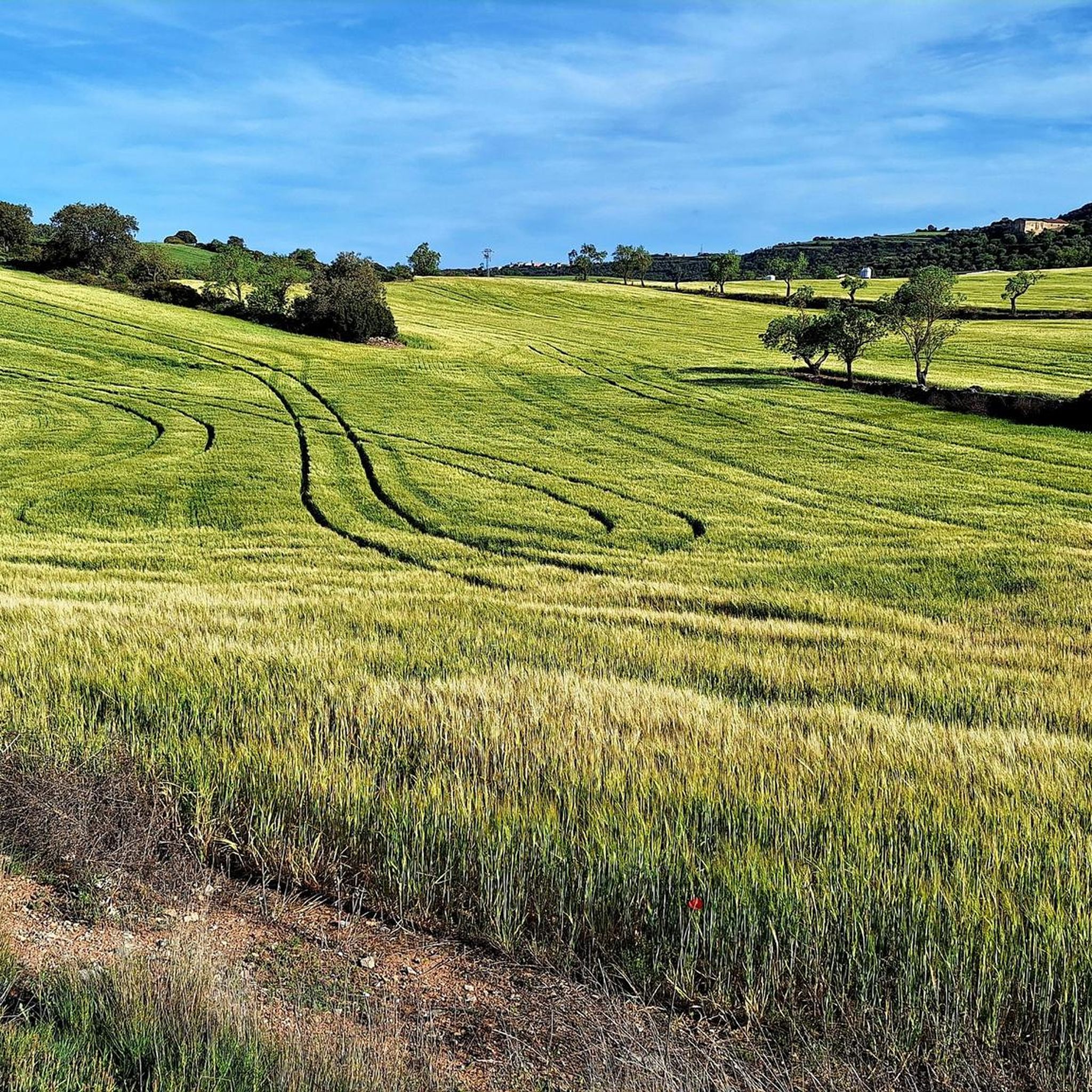
Point with a panoramic view of the small town of Florejacs.
0
0
It begins on the Segre River downstream from the town of Ponts and after traveling about 144 km it ends its route in the town of Montoliu de Lleida.
0
0
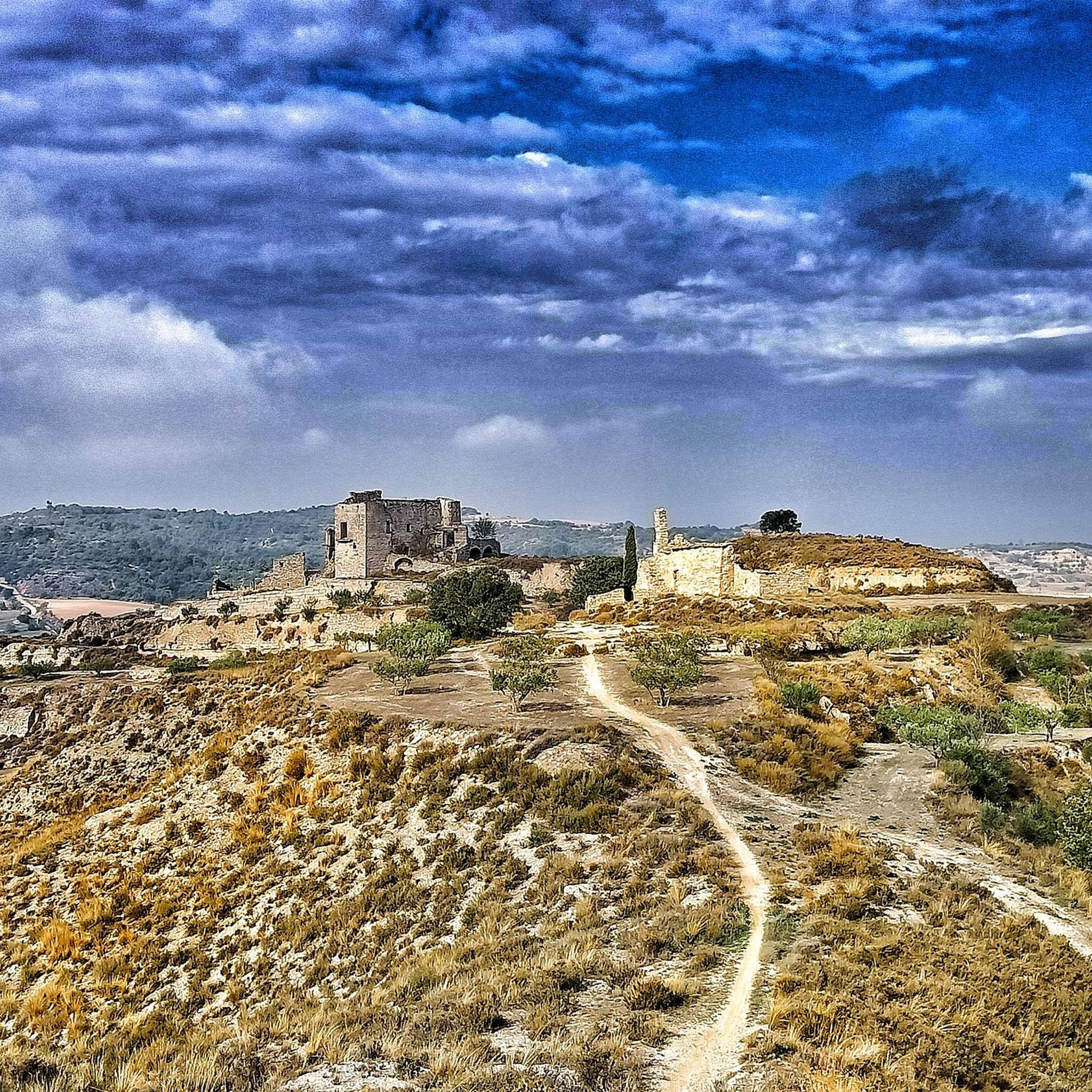
Small town located on top of a hill, abandoned, and part of the La Noguera region.
0
0

Frequently Asked Questions
How many mountain bike trails are available around Sant Guim De La Plana?
There are over 35 mountain bike trails around Sant Guim De La Plana, offering a wide range of options for different skill levels and preferences.
What is the best time of year for mountain biking in Sant Guim De La Plana?
The region around Sant Guim De La Plana, with its rolling hills and vast greenery, is generally pleasant for mountain biking during spring and autumn. These seasons offer milder temperatures, which are ideal for tackling the diverse gradients and enjoying the serene countryside.
Are there mountain bike trails suitable for beginners in Sant Guim De La Plana?
Yes, Sant Guim De La Plana offers several easy mountain bike trails, suitable for beginners or those looking for a more relaxed ride. These routes typically feature gentle slopes and less technical terrain, allowing riders to enjoy the scenic landscapes at a comfortable pace.
What kind of terrain can I expect on mountain bike trails in Sant Guim De La Plana?
You can expect a diverse range of terrain, including narrow paths, dirt, and alpine tracks, with minimal tarmac. The region is characterized by serene countryside and rolling hills, providing varied gradients and an authentic off-road experience.
Are there any challenging mountain bike routes for experienced riders?
Absolutely. For experienced riders seeking a challenge, routes like the Start of the Canal d'Urgell – Abandoned Village of Claret loop from Guissona offer a difficult 46.2-mile path with significant elevation changes and varied terrain, including demanding dirt and alpine tracks.
What historical sites or landmarks can I see along the mountain bike trails?
Many trails in the area pass by historical sites. For instance, the region is known for its medieval castles. You might encounter sites like Montfalcó Murallat, Florejacs Castle, or Castell de l'Aranyó. The 'Castles of Sió Route' is a notable example that allows riders to explore several medieval castles.
Are there any circular mountain bike routes available?
Yes, many routes in Sant Guim De La Plana are designed as loops. For example, the Castle of Sitges – Les Pallargues Castle loop from Guissona is a moderate 21.1-mile trail that takes you through the serene countryside and returns to your starting point.
What do other mountain bikers say about the trails in Sant Guim De La Plana?
The mountain bike trails in Sant Guim De La Plana are highly rated by the komoot community, with an average score of 4.9 stars from over 20 reviews. Riders often praise the varied terrain, the authentic off-road experience, and the beautiful, serene countryside.
Are there any natural features or scenic spots to look out for?
The region boasts several natural features that add to its scenic appeal. Keep an eye out for places like Pou del Gel, a natural spring, Pou de Madern, an ancient ice well, and Bassa de Palouet, a tranquil spot known for its lush greenery, all nestled amidst the vast greenery of the area.
Is it possible to access the mountain bike trails using public transport?
While Sant Guim De La Plana is a rural area, public transport options might be limited directly to trailheads. It's advisable to check local bus schedules to nearby towns like Guissona, which serve as common starting points for many routes, and plan your journey accordingly.
Are there any cafes or restaurants near the mountain bike trails for a break?
While specific cafes directly on the trails are uncommon in this serene countryside, you will find options in the nearby towns and villages, such as Guissona or Sant Guim de la Plana itself. These places offer opportunities to refuel and relax after your ride.
Most popular routes around Sant Guim De La Plana
Most popular attractions around Sant Guim De La Plana

Get inspired with the komoot mobile app


Explore more
Browse the best MTB trails in other regions.
