The best MTB trails around Buchhofen
4.5
(1276)
3,674
riders
216
rides
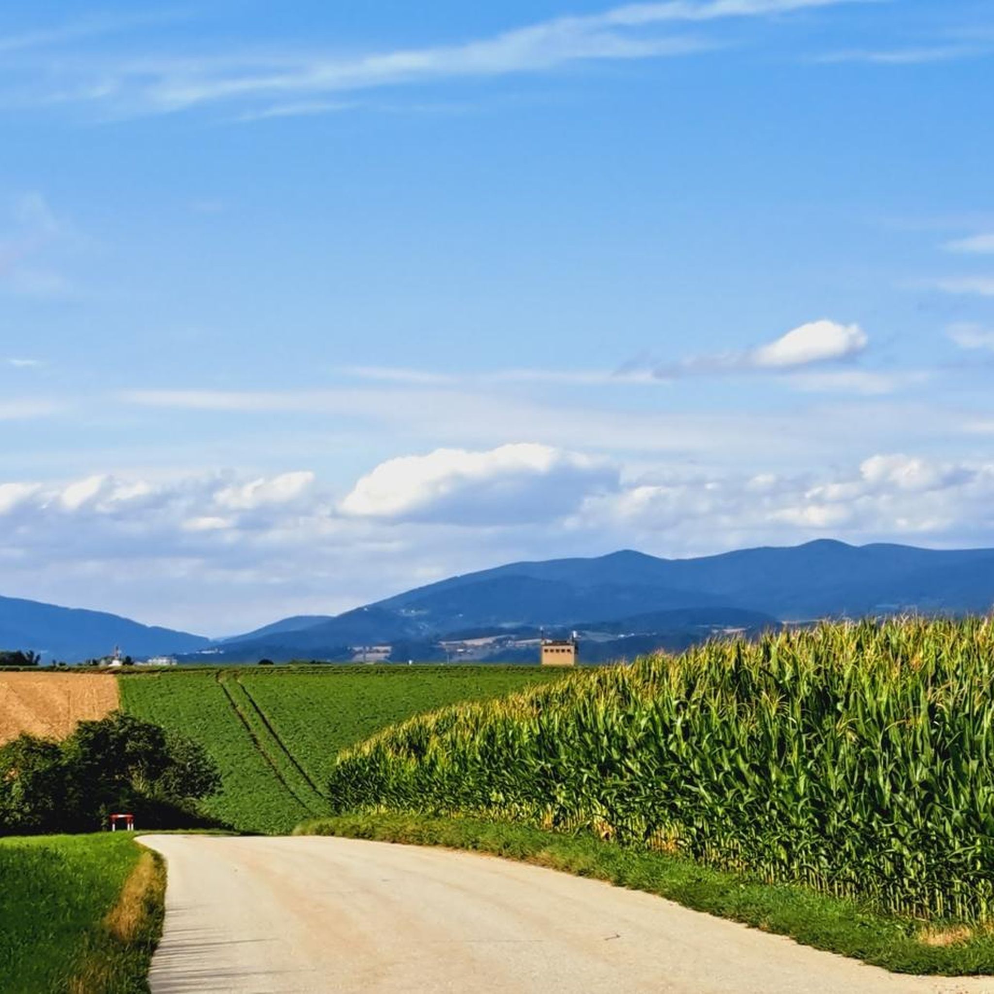
Mountain biking around Buchhofen offers access to the diverse landscapes of Lower Bavaria. The region is characterized by rolling hills and picturesque rural scenery, providing a scenic backdrop for cycling. Its proximity to the Bavarian Forest offers varied elevations and dense woods, while riverine landscapes along the Danube and Isar provide unique floodplain views. This terrain supports a range of mountain biking experiences.
Best mountain bike trails around Buchhofen
- The most popular mountain bike trail is Isarmündung Information Center – Isarmündung Nature Reserve loop from Moos, an easy 15.7 miles (25.2 km) trail that takes about 1 hour 25 minutes to complete. This route explores the unique natural reserve at the confluence of the Isar and Danube rivers.
- Another top favourite among local mountain bikers is Isar Cycling Stadium Niederpöring – FoxTrail Eichendorf loop from Oberpöring (VGem), an easy 18.4 miles (29.6 km) path. This route follows the Isar River, offering views of the surrounding floodplain landscapes.
- Local mountain bikers also love the Vilstal – Gscheidmaierholz Forest Path loop from Wallerfing, a 20.3 miles (32.7 km) trail leading through the Vilstal valley and forest paths, often completed in about 2 hours 44 minutes.
- Mountain biking around Buchhofen is defined by rolling hills, riverine landscapes, and proximity to the Bavarian Forest. The network offers options for different ability levels, from leisurely rides to more challenging routes.
- The routes in Buchhofen are highly rated by the komoot community with an average score of 4.6 stars from more than 900 reviews. More than 3000 mountain bikers have used komoot to explore Buchhofen's varied terrain.
Last updated: September 30, 2026
4.0
(4)
14
riders
Easy mountain bike ride. Great for any fitness level. Suitable for all skill levels.
5.0
(2)
3
riders
Easy mountain bike ride. Great for any fitness level. Suitable for all skill levels.

4.0
(4)
6
riders
32.7km
02:45
400m
400m
Moderate mountain bike ride. Good fitness required. Suitable for all skill levels.
8
riders
39.1km
02:08
160m
160m
Moderate mountain bike ride. Good fitness required. Suitable for all skill levels.
4.0
(1)
4
riders
Moderate mountain bike ride. Good fitness required. Suitable for all skill levels.
Get access to more routes and recommendations from other explorers.
Already have an account?
Our route recommendations are based on thousands of hikes, rides, and runs completed by other people on komoot.
Start today with a free account
Your next adventure awaits.
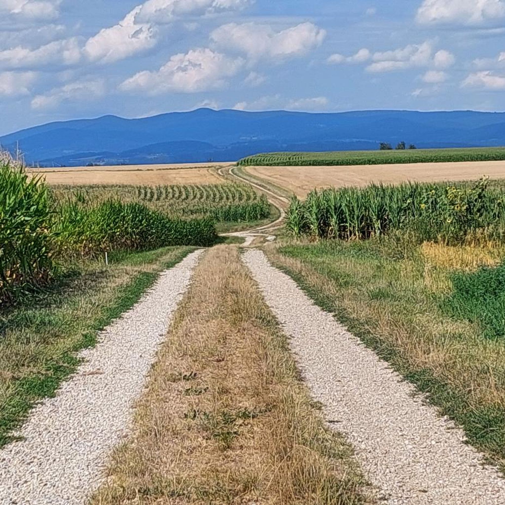
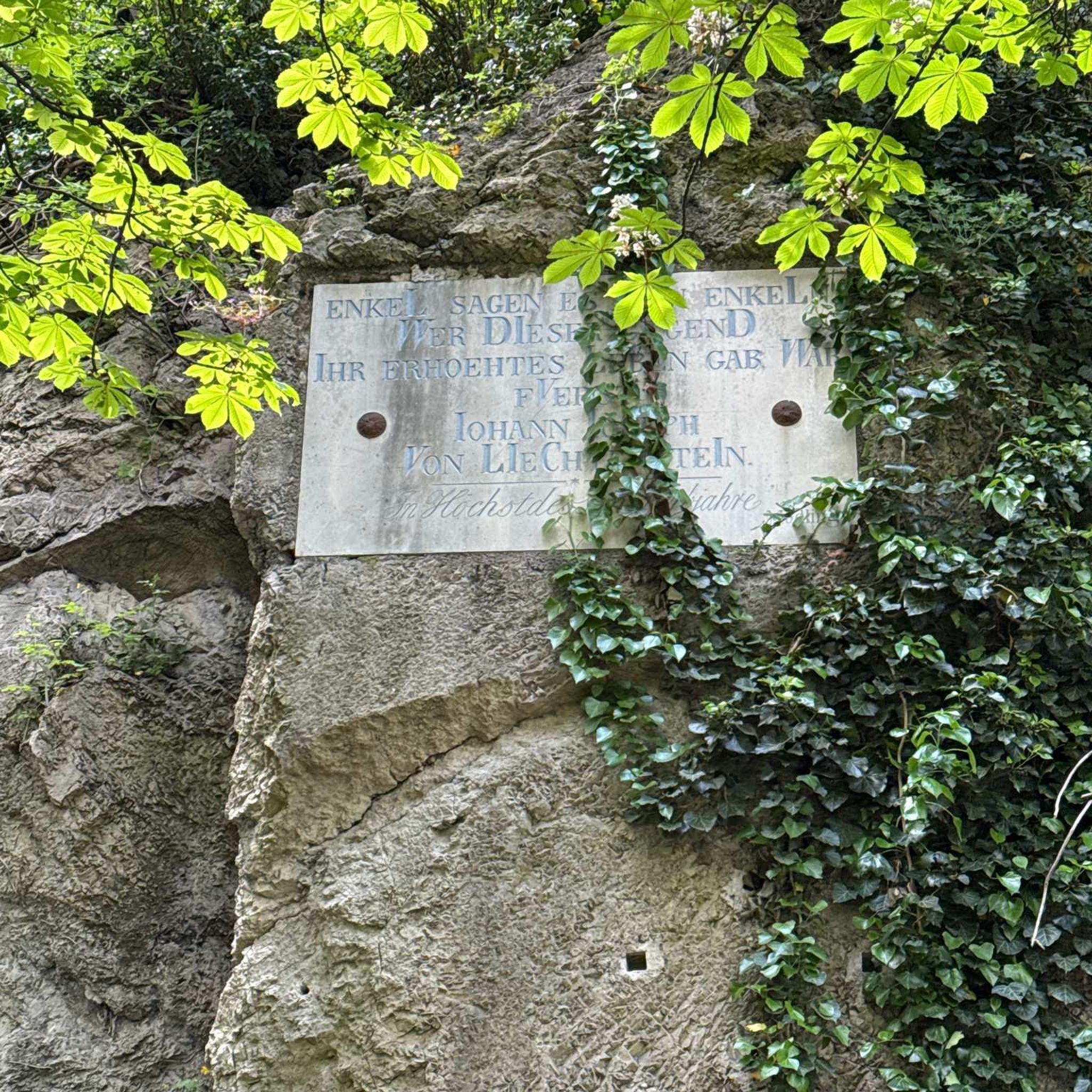
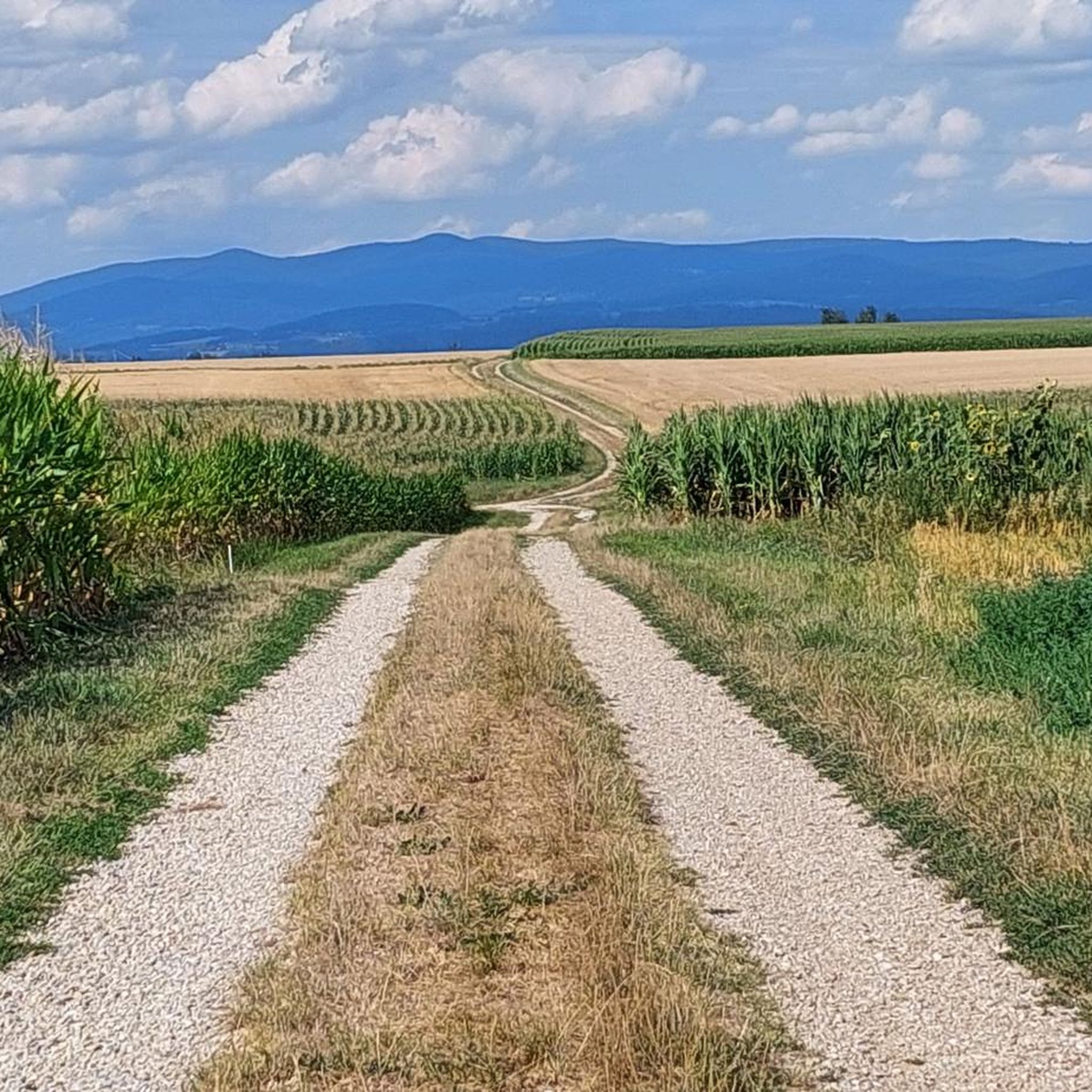
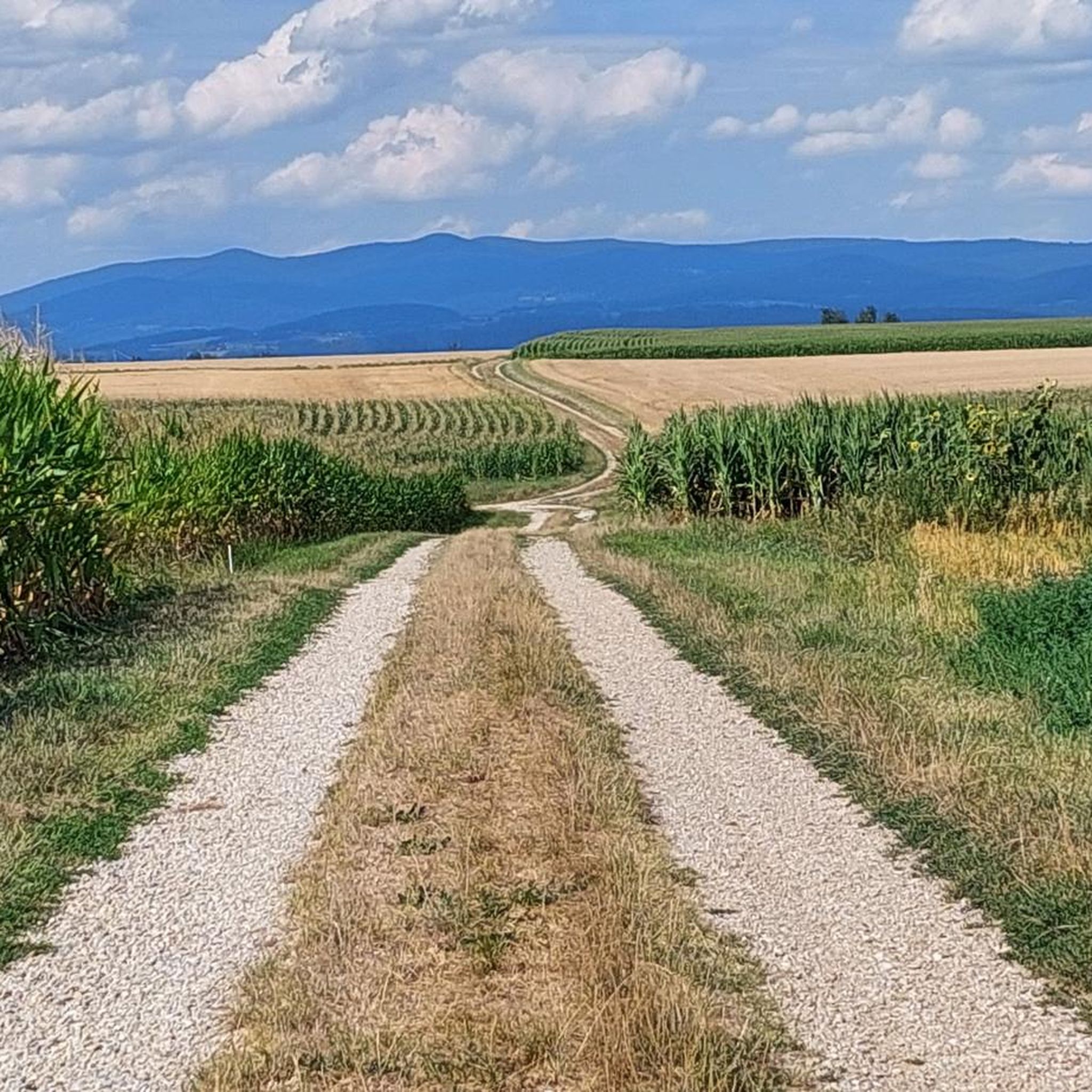
Tips from the Community

Directly on the river, good place to stay overnight with a campervan
0
0

Catholic Parish Church of St. Bartholomew. It was built in the second half of the 13th century. The upper story of the tower was added around 1650. In 1658/59, the nave was altered and the side chapels were built. In 1908, the nave was extended westward, and in 1956, the sacristy was enlarged.
0
0

where was that again?
0
0

Opening Hours of the Isar Estuary Information Center April 1 to October 31 Wednesday to Sunday 10:00 AM to 5:00 PM The information center is also open on public holidays that fall on Mondays or Tuesdays. Admission is free
0
0

Directly on the first leg of the trail toward the source of the Isar River, you'll experience the beautiful nature surrounding the Isar. The landscape is simply stunning for both humans and animals. You can observe the beavers at work and see so many animals. There are several places along the Isar in this section where you can linger for minutes, simply listening and watching.
1
0

The bridges do what they are supposed to connect😅😎
10
0

Joseph-von-Eichendorf Panorama Trail Station 20 - Market Fountain and Marian Column on the Market Square
0
0

Memorial stone for a boating accident on May 10, 1945
0
0
Frequently Asked Questions
How many mountain bike trails are available around Buchhofen?
There are over 240 mountain bike routes around Buchhofen. This includes approximately 70 easy trails, around 160 moderate routes, and about 10 more challenging options, offering a diverse range for all skill levels.
What kind of terrain can I expect when mountain biking near Buchhofen?
Mountain biking around Buchhofen features the characteristic rolling hills and picturesque rural scenery of Lower Bavaria. You'll also find routes along riverine landscapes, such as the Danube and Isar, offering unique floodplain views. The proximity to the Bavarian Forest provides varied elevations and dense woods for a mix of experiences.
Are there any family-friendly mountain bike trails in the Buchhofen area?
Yes, many of the trails around Buchhofen are suitable for families. For an easy and scenic ride, consider the Isarmündung Information Center – Isarmündung Nature Reserve loop from Moos, which is 15.7 miles (25.2 km) long and explores the unique natural reserve at the confluence of the Isar and Danube rivers.
What do other mountain bikers say about the trails in Buchhofen?
The mountain bike routes around Buchhofen are highly rated by the komoot community, with an average score of 4.6 stars from over 900 reviews. More than 3000 mountain bikers have used komoot to explore the varied terrain, often praising the scenic river landscapes and the peaceful forest paths.
Are there any circular mountain bike routes available?
Yes, many routes around Buchhofen are designed as loops. An example is the Isar Cycling Stadium Niederpöring – FoxTrail Eichendorf loop from Oberpöring (VGem), an easy 18.4 miles (29.6 km) path that follows the Isar River, offering views of the surrounding floodplain landscapes.
What are some natural features or landmarks I can see along the mountain bike trails?
The trails often pass by significant natural features. You can explore the Isar Confluence, where the Isar meets the Danube, or the Isar Floodplain Forest at the Isar Mouth. Other highlights include the Water Lilies at Donaualtwasser and various picturesque ponds.
Are there any longer, more challenging mountain bike routes?
For a moderate challenge, consider the Vilstal – Gscheidmaierholz Forest Path loop from Wallerfing. This 20.3 miles (32.7 km) trail leads through the Vilstal valley and forest paths, with an elevation gain of over 400 meters, typically completed in about 2 hours 44 minutes.
What is the best time of year for mountain biking in Buchhofen?
The region's rolling hills and riverine landscapes are enjoyable throughout the warmer months, from spring to autumn. Spring brings lush greenery, while autumn offers beautiful foliage. Summer is also popular, but be mindful of potential heat on exposed sections.
Are there mountain bike routes accessible by public transport?
While specific public transport connections directly to trailheads are not detailed, the broader area of Deggendorf and Lower Bavaria has regional cycling networks. It's advisable to check local bus or train schedules to nearby towns that might offer access points to the larger trail systems, especially those along the Danube and Isar rivers.
Where can I find parking for mountain biking trails near Buchhofen?
Many trailheads and popular starting points in the region, especially near natural attractions or villages, typically offer designated parking areas. For example, routes exploring the Isar-Danube confluence often have parking facilities near the Isarmündung Information Center.
Can I find cafes or places to eat along the mountain bike routes?
While specific cafes directly on every trail are not guaranteed, routes that pass through or near villages and towns in the Lower Bavaria region will offer opportunities for refreshments. For instance, the Isarmündung Information Center – Waldschänke Grieshaus loop from Aholming suggests a potential stop at a 'Waldschänke' (forest tavern).
Most popular routes around Buchhofen
Most popular attractions around Buchhofen

Get inspired with the komoot mobile app


Explore more
Browse the best MTB trails in other regions.
