The best walks and hikes around Friera De Valverde
4.5
(2)
19
hikers
6
hikes
Hiking around Friera De Valverde offers exploration of the Valverde Valley, characterized by its riverine landscapes and rural charm. The area is situated near the Esla River, providing scenic views and varied terrain. Proximity to the Sierra de las Cavernas suggests a diverse environment for outdoor activities. The region also features historical routes, including a section of the Mozarabic Way.
Best hiking trails around Friera De Valverde
- The most popular hiking route is Río Esla from Puente Quintos – circular…
Last updated: May 23, 2026
2
hikers
6.58km
01:49
110m
110m
Easy hike. Great for any fitness level. Easily-accessible paths. Suitable for all skill levels.
4.57km
01:10
20m
20m
Easy hike. Great for any fitness level. Easily-accessible paths. Suitable for all skill levels.

Sign up for free
5.0
(1)
4
hikers
Easy hike. Great for any fitness level. Easily-accessible paths. Suitable for all skill levels.
4.0
(1)
9
hikers
23.4km
06:13
230m
230m
Hard hike. Very good fitness required. Easily-accessible paths. Suitable for all skill levels.
2
hikers
8.41km
02:17
120m
120m
Moderate hike. Good fitness required. Easily-accessible paths. Suitable for all skill levels.
Our route recommendations are based on thousands of hikes, rides, and runs completed by other people on komoot.
Start today with a free account
Your next adventure awaits.
Login or Signup
Popular around Friera De Valverde
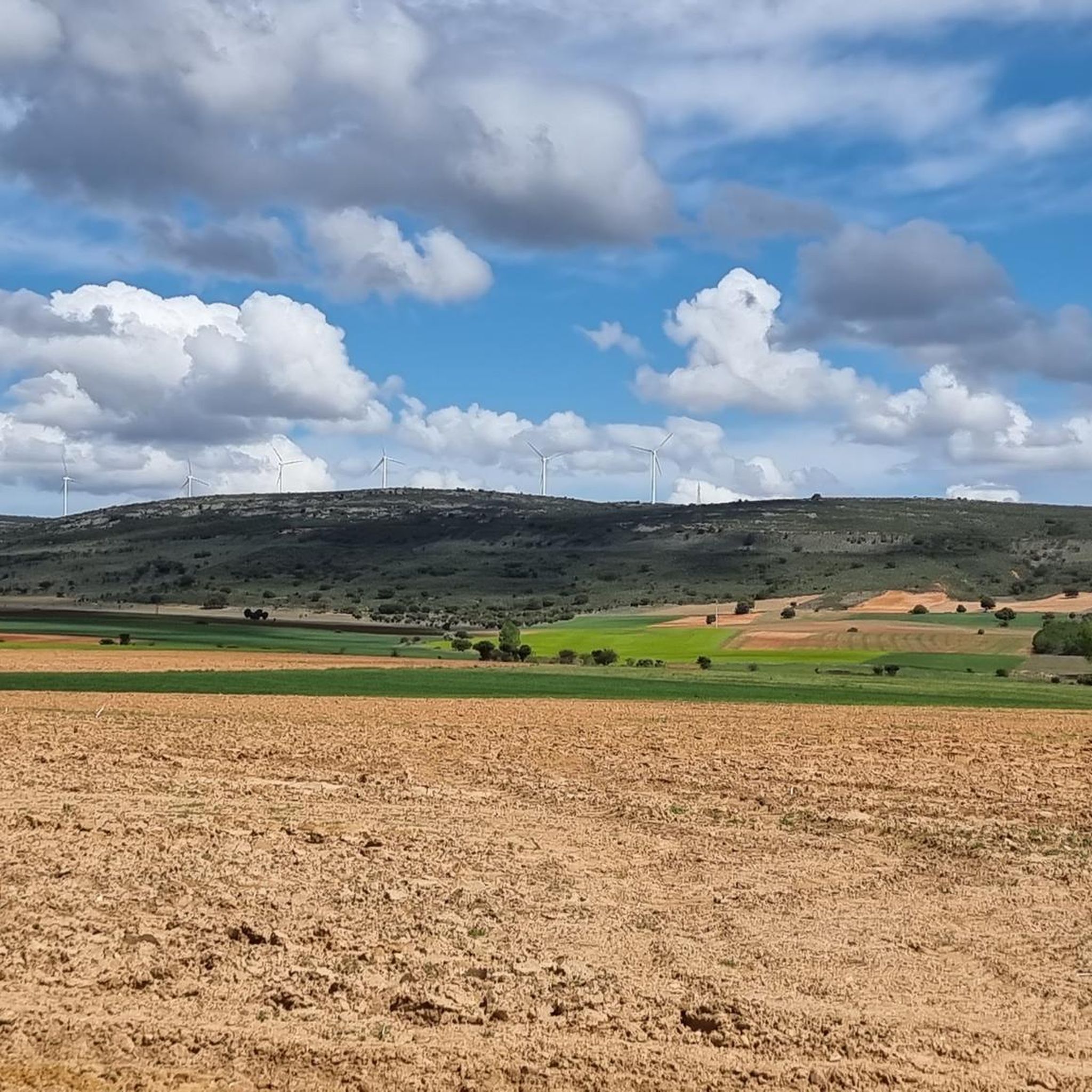
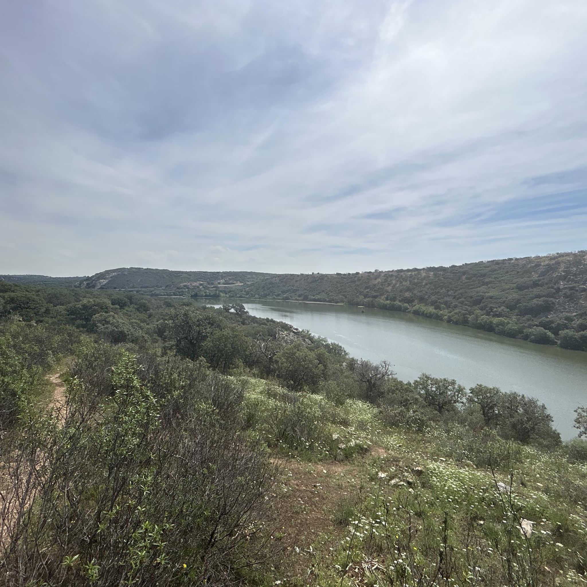
Tips from the Community

Tábara is a Spanish municipality of about 830-950 inhabitants located in the province of Zamora, within the autonomous community of Castile and León. This small village stands at an altitude of 749 meters and is the capital of the Tierra de Tábara comarca. It represents a center of great historical-cultural importance, as well as being a fundamental stop for pilgrims traveling the Camino Sanabrésl
1
0

Tábara, located in the northwest of the province of Zamora (Castilla y León), is a town with a rich medieval history, a stunning natural setting, and a significant cultural heritage. Origins: These date back to the Bronze Age and Roman period. Middle Ages: It was an important monastic center with the Monastery of San Salvador de Tábara, founded by Saint Froilán in the 9th century at the behest of Alfonso III.
10
0

Wonderful view, sure-footedness and good shoes are important. Better not to go when it's raining.
0
1

The Tera River is the setting for this incredible outdoor natural park. You can find riverside hiking trails and even a river beach to soak in on a hot summer day or go fishing.
1
0
A beautiful and charming church in the small town of Mózar on the banks of the Tera River.
1
0

This is a nice section of dirt road that is perfect for a mountain bike and can be done on a gravel bike. As you go a bit further down the trail, the views get better.
0
0
Spectacular stone bridge with 9 symmetrical arches that crosses the Esla River. It was built in 1920 to connect the trade route between the Zamora regions of Tierra de Campos and Tábara. The bridge is located on the Jacobean route known as Camino Mozárabe Sanabrés, which allows pilgrims to cross into Zamora and Galicia beyond.
3
1
On the west bank of the Esla River is the site of archaeological importance of El Castillon dating from the Bronze and Iron Ages. The views from up here are spectacular. You can understand why this site was selected for a settlement.
1
1
Frequently Asked Questions
What are the difficulty levels of hiking trails in Friera de Valverde?
Friera de Valverde offers a range of hiking trails suitable for various abilities. You'll find easy, moderate, and difficult routes. Specifically, there are 3 easy trails, 2 moderate trails, and 1 difficult trail, providing options for everyone from casual walkers to experienced hikers.
Are there any circular hiking routes around Friera de Valverde?
Yes, several circular routes are available. A popular option is the Río Esla from Puente Quintos – circular by Camino Mozárabe Sanabrés, which follows a historic path along the Esla River. Another is the Mózar — circular by the Iglesia and the río Tera, offering gentle gradients near the Tera River.
What natural features or landmarks can I see while hiking in Friera de Valverde?
The region is rich in natural beauty and historical landmarks. You can enjoy beautiful views of the Esla River and explore the Valverde Valley. Key attractions include the impressive Quintos Bridge Over the Esla River, a masonry stone bridge built in 1920, and sections of the historic Mozarabic Way Along the Esla River, which features amazing walks between rock formations and river landscapes.
Are there family-friendly hiking trails in Friera de Valverde?
Yes, Friera de Valverde has several easy trails that are suitable for families. Routes like the Mózar — circular by the Iglesia and the río Tera are relatively short and have gentle gradients, making them enjoyable for all ages.
Is parking available at trailheads in Friera de Valverde?
While specific parking details for every trailhead are not always listed, many rural hiking areas in Spain, including Friera de Valverde, typically offer informal parking spots near popular starting points or villages. For example, the Quintos Bridge – View of the Esla River loop starts from an area often referred to as 'Aparcamiento y mirador' (parking and viewpoint), indicating designated parking.
What is the best time of year to hike in Friera de Valverde?
Given the region's climate, spring (April to June) and autumn (September to October) are generally the most pleasant times for hiking in Friera de Valverde. During these seasons, temperatures are milder, and the natural landscapes are particularly vibrant or showcase beautiful autumnal colors, making for comfortable and scenic walks.
Are hiking trails in Friera de Valverde dog-friendly?
Many rural trails in Spain, including those around Friera de Valverde, are generally dog-friendly. However, it's always recommended to keep dogs on a leash, especially in areas with livestock or wildlife, and to carry water for them. Always practice responsible pet ownership by cleaning up after your dog.
What do other hikers enjoy the most about hiking in Friera de Valverde?
The hiking experience in Friera de Valverde is highly rated by the komoot community, with an average score of 4.0 stars. Hikers often praise the area for its beautiful riverine landscapes, the rural charm of the Valverde Valley, and the historical paths like the Mozarabic Way that offer a unique blend of nature and culture.
How long do hikes in Friera de Valverde typically take?
Hiking durations vary depending on the route and your pace. For example, an easy 4.1-mile (6.6 km) trail like the Río Esla from Puente Quintos – circular by Camino Mozárabe Sanabrés typically takes about 1 hour 49 minutes. Longer, more difficult routes, such as the 14.6-mile (23.4 km) Tábara – View of the Countryside loop, can take over 6 hours.
Are there any historical routes to explore in Friera de Valverde?
Yes, a significant historical route in the area is a section of the Mozarabic Way (Camino Mozárabe Sanabrés). This ancient Jacobean route follows the Esla River, allowing hikers to follow in the footsteps of many pilgrims through a landscape featuring rock formations and river views. You can experience a part of it on the Río Esla from Puente Quintos – circular by Camino Mozárabe Sanabrés.
What kind of terrain can I expect on the trails?
The terrain around Friera de Valverde is diverse, characterized by river valleys, rural landscapes, and proximity to the Sierra de las Cavernas. You can expect paths along the Esla and Tera rivers, offering relatively flat sections, as well as trails that may include more varied gradients and potentially rugged areas closer to the Sierra, reflecting the region's natural diversity.
Most popular routes around Friera De Valverde
Most popular attractions around Friera De Valverde

Get inspired with the komoot mobile app


Explore more
Browse the best Hikes in other regions.
