The best walks and hikes around Mansilla De Las Mulas
3.3
(37)
254
hikers
8
hikes
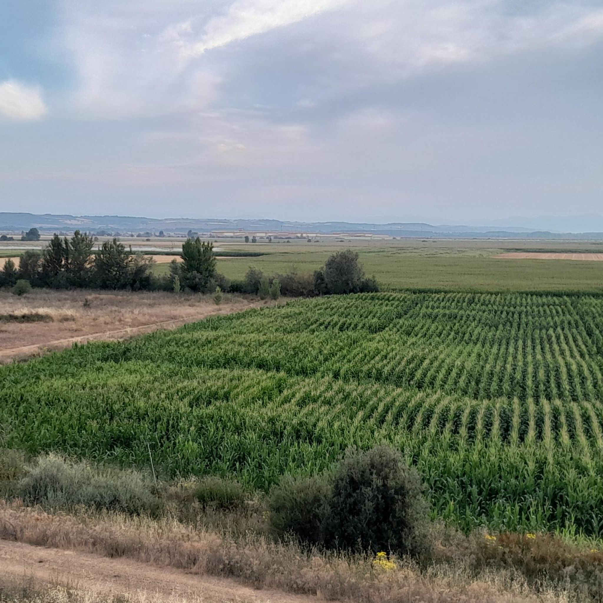
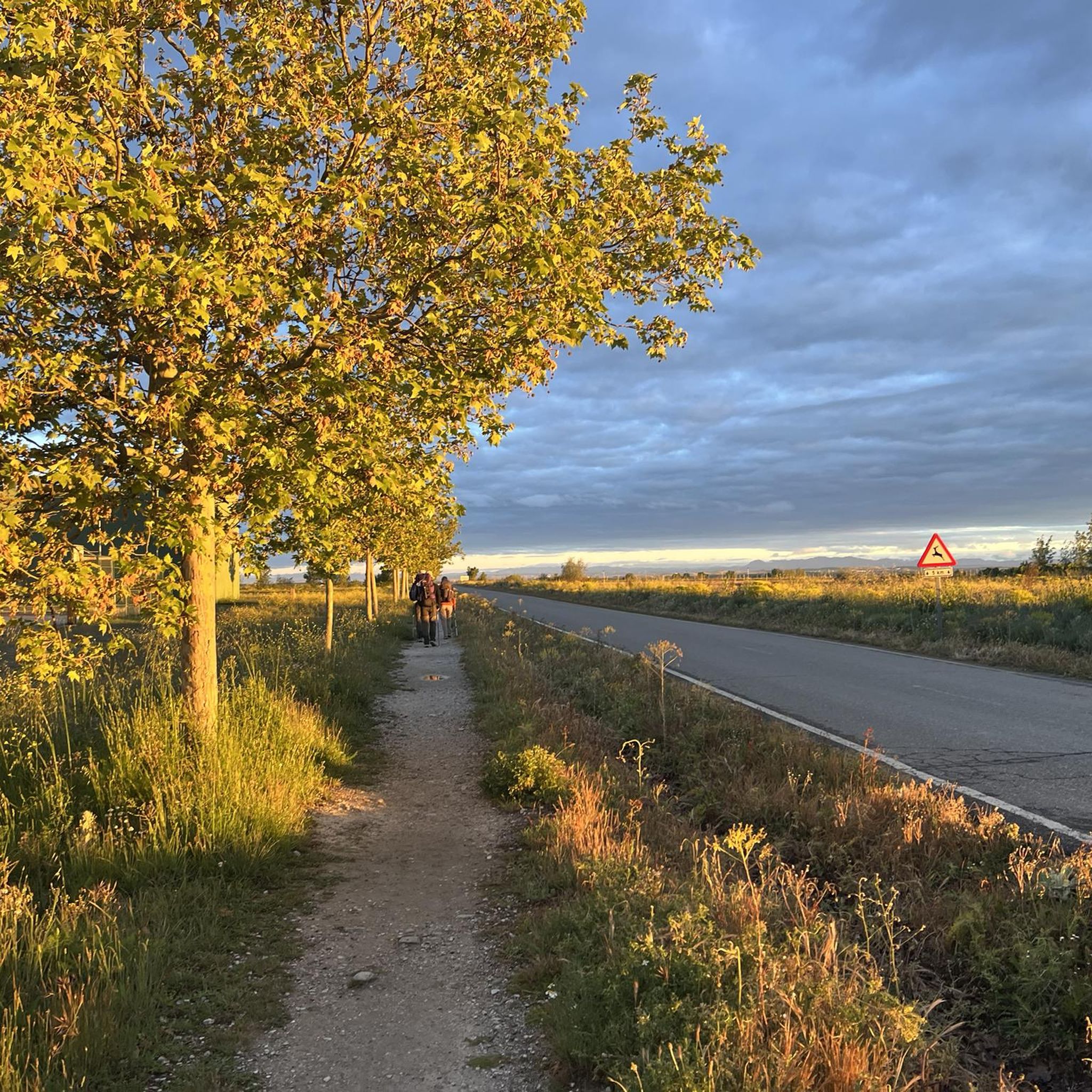
Hiking around Mansilla De Las Mulas offers a blend of historical exploration and natural landscapes. The region is characterized by the Esla and Porma rivers, with trails often crossing impressive bridges and following their banks. Surrounding areas feature agricultural fields of corn and sunflowers, providing a rural Spanish backdrop. Distant mountain chains are visible, adding to the broader scenic context, while some routes pass through wooded sections and past ancient sites like the City Walls of Mansilla de las Mulas.
…Last updated: July 8, 2026
3.0
(1)
2
hikers
6.14km
01:41
100m
100m
Easy hike. Great for any fitness level. Easily-accessible paths. Suitable for all skill levels.
1
hikers
13.0km
03:17
30m
30m
Moderate hike. Good fitness required. Easily-accessible paths. Suitable for all skill levels.

Sign up for free
4.4
(34)
217
hikers
20.9km
05:31
190m
190m
Hard hike. Very good fitness required. Easily-accessible paths. Suitable for all skill levels.
5
hikers
17.5km
04:39
170m
170m
Moderate hike. Good fitness required. Easily-accessible paths. Suitable for all skill levels.
10
hikers
Moderate hike. Good fitness required. Easily-accessible paths. Suitable for all skill levels.
Get access to more routes and recommendations from other explorers.
Sign up for free
Already have an account?
Our route recommendations are based on thousands of hikes, rides, and runs completed by other people on komoot.
Start today with a free account
Your next adventure awaits.
Login or Signup
Tips from the Community

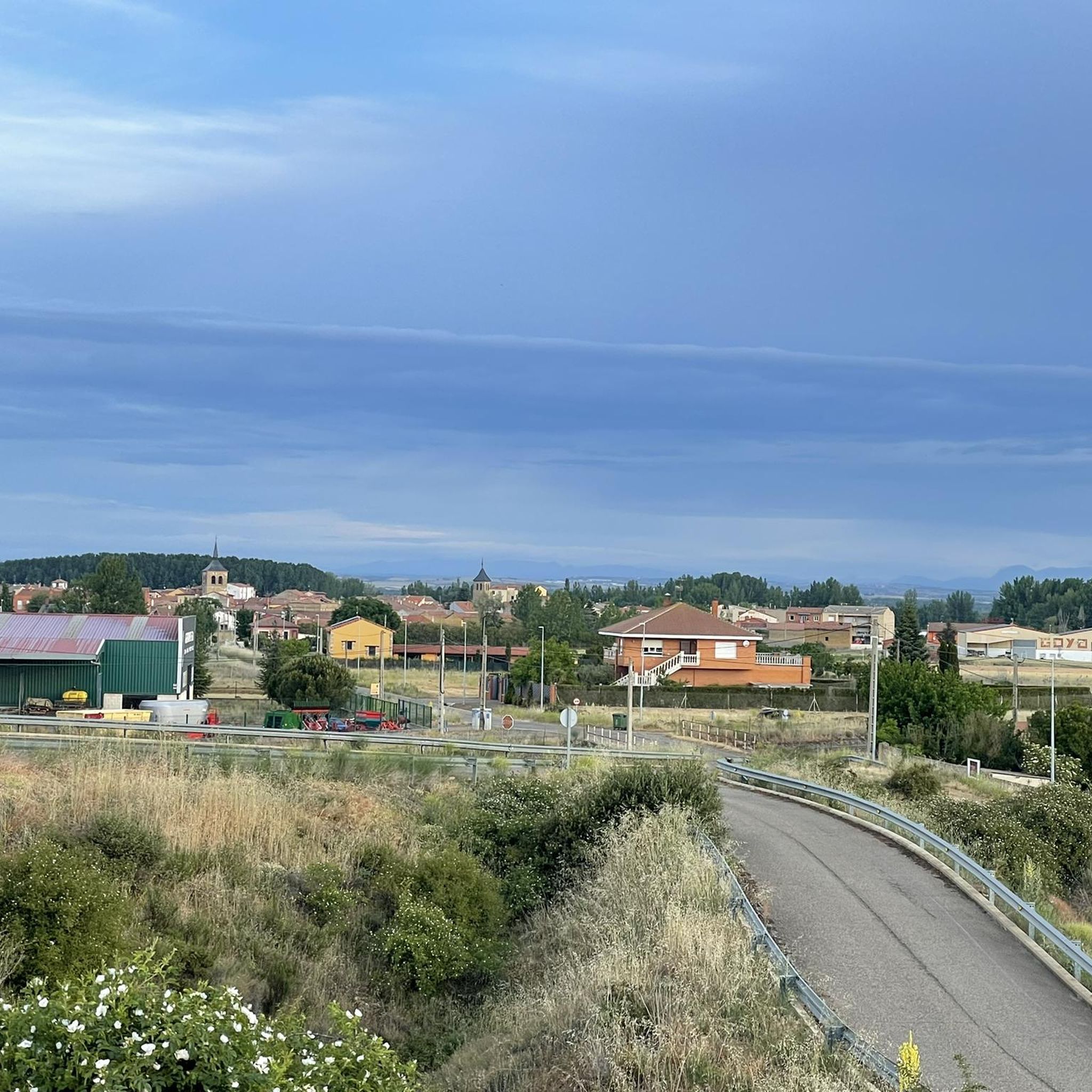
Not so far away, Leon is finally in front of you.
1
0

The cathedral can be seen in the background.
2
0

From here you have a great first view of the Cathedral of Leon.
1
0
From here you have a beautiful and first view of Leon.
2
0
At many churches along the Way of St. James, you can see the many stork nests and observe the storks. It's a wonderful sight to see these animals.
1
1
Some very beautiful monuments that you can find and see along the way.
1
2
Frequently Asked Questions
How many hiking trails are available around Mansilla de las Mulas?
There are 8 hiking trails available around Mansilla de las Mulas, offering a range of experiences from easy walks to more challenging routes.
What kind of landscapes can I expect to see while hiking near Mansilla de las Mulas?
Hiking around Mansilla de las Mulas offers a blend of historical exploration and natural landscapes. You'll encounter trails along the Esla and Porma rivers, often crossing impressive bridges like the Puente de Villarente. The surrounding areas feature agricultural fields of corn and sunflowers, providing a typical rural Spanish backdrop. Distant mountain chains are visible, and some routes pass through shady wooded sections.
What is the general difficulty level of hikes in this region?
The hiking trails around Mansilla de las Mulas cater to various abilities. You'll find 1 easy route, 5 moderate routes, and 2 more difficult options, ensuring there's something for every hiker.
Are there any family-friendly hiking options in Mansilla de las Mulas?
Yes, for families looking for an easier walk, the Villafañe-Lancia PRC-LE 66 Trail is an excellent choice. This easy 6.1 km route explores the historical area of the Ancient City of Lancia and is generally completed in under two hours.
Can I find circular hiking routes around Mansilla de las Mulas?
Yes, there are circular routes available. A popular option is the Mansilla de las Mulas — circular by Camino Vadiniense. This 13 km trail leads through agricultural landscapes and along sections of the Camino Vadiniense, typically taking about 3 hours and 17 minutes to complete.
Are there historical sites or landmarks to explore on hikes near Mansilla de las Mulas?
Absolutely. The region is rich in history. You can hike through the ancient ruins of the City of Lancia on routes like the Ancient City of Lancia loop from Villafañe. The historic City Walls of Mansilla de las Mulas, dating back to before 1181, are also an impressive sight. Additionally, a short detour from the Camino allows you to visit the ruins of the magnificent Cistercian Monastery of Santa María de Sandoval.
What do other hikers enjoy the most about hiking in Mansilla de las Mulas?
The hiking routes in Mansilla de las Mulas are highly rated by the komoot community, with an average score of 3.9 stars from over 30 reviews. Hikers often praise the blend of historical exploration, such as the Ancient City of Lancia, and the serene river paths and agricultural landscapes that define the region.
Are there any trails that pass by unique natural features?
Yes, the area features the confluence of the Esla and Porma rivers, with trails often crossing impressive bridges. You can also find the Reliegos Meteorite Impact Site, a unique natural monument, along some routes in the vicinity.
What is the best time of year to go hiking in Mansilla de las Mulas?
While the region can be hiked year-round, spring and autumn generally offer the most pleasant conditions with milder temperatures and vibrant landscapes. Summer can be warm, especially in the open agricultural areas, while winter might bring cooler temperatures, but trails remain accessible.
Are there any longer, more challenging hikes available?
For those seeking a longer challenge, the route El Burgo Ranero – Earth Houses of Reliegos loop from Fuente del Piojo is a difficult 28 km trail. This route offers an extended exploration of the area, including the unique 'Earth Houses' of Reliegos.
Are there options for parking near the trailheads?
Mansilla de las Mulas is a well-established stop on the Camino de Santiago, and as such, parking is generally available within the town or near popular starting points for local routes. Specific parking details can often be found on individual route pages or local tourist information.
Can I reach the hiking areas using public transport?
Mansilla de las Mulas is accessible by public transport, particularly bus services connecting it to larger cities like León. This makes it feasible to reach the town and access various trailheads, especially those that start directly from the town center or nearby villages.
Most popular routes around Mansilla De Las Mulas
Most popular attractions around Mansilla De Las Mulas

Get inspired with the komoot mobile app


Explore more
Browse the best Hikes in other regions.
