The best walks and hikes in Bucheggberg
4.5
(3425)
21,897
hikers
42
hikes
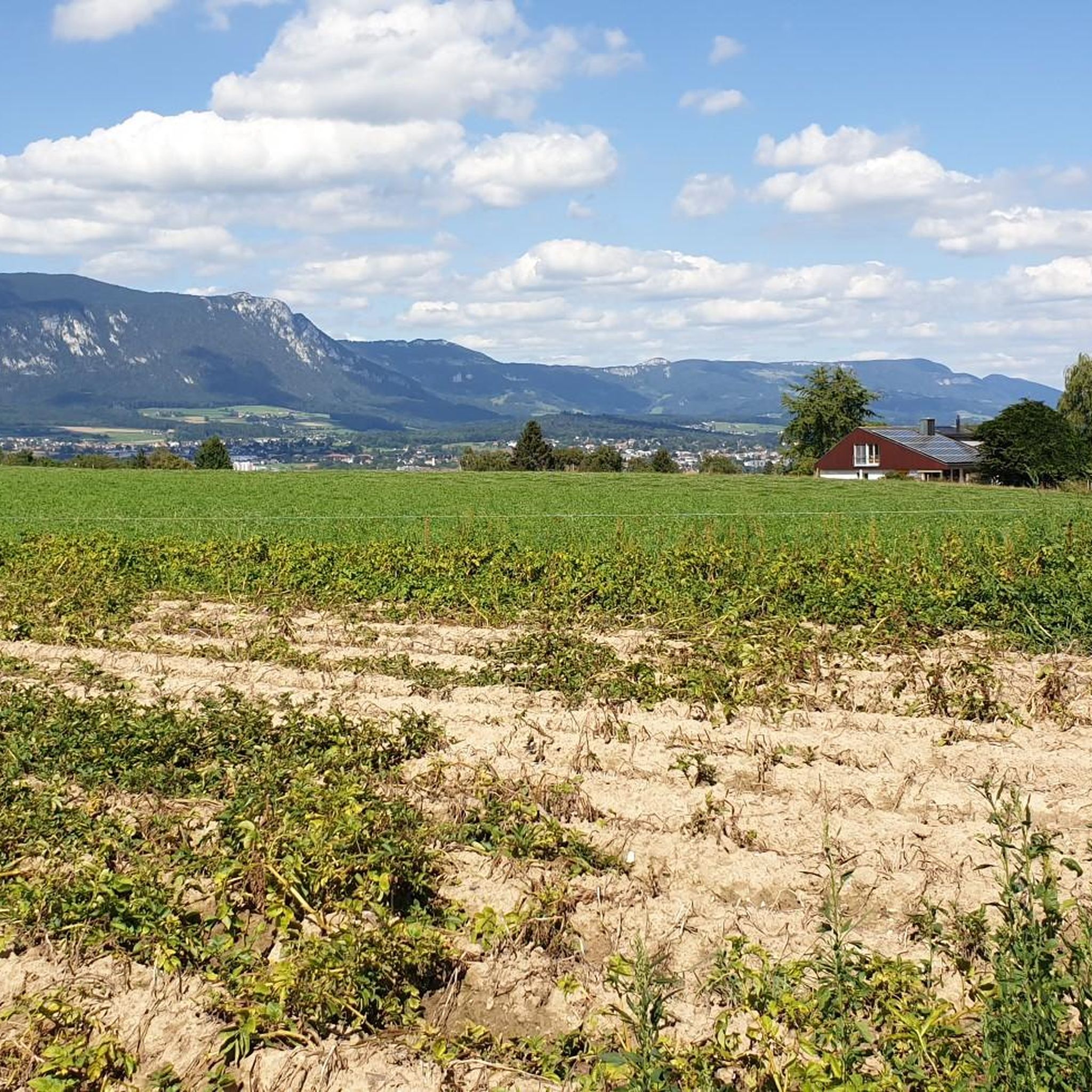
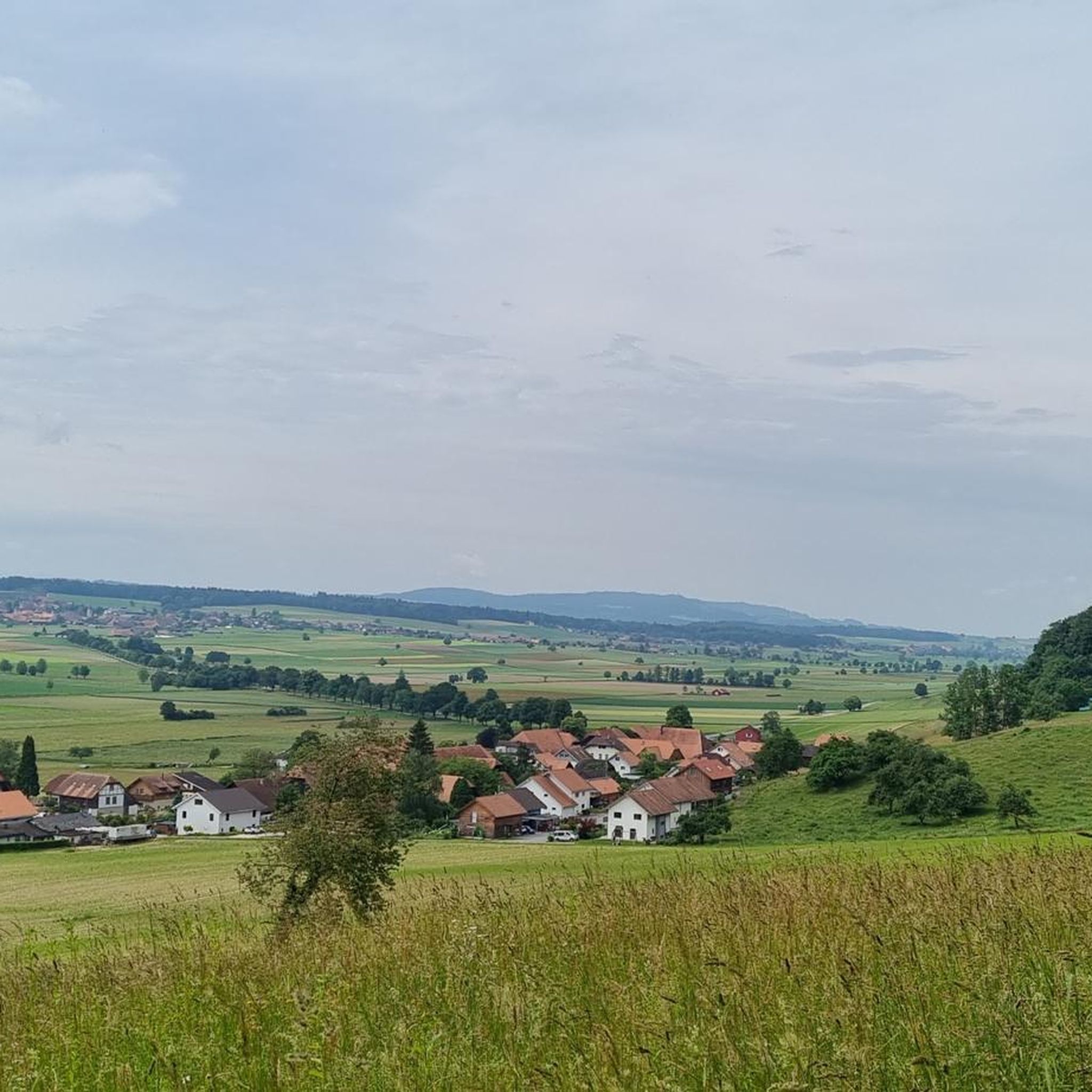
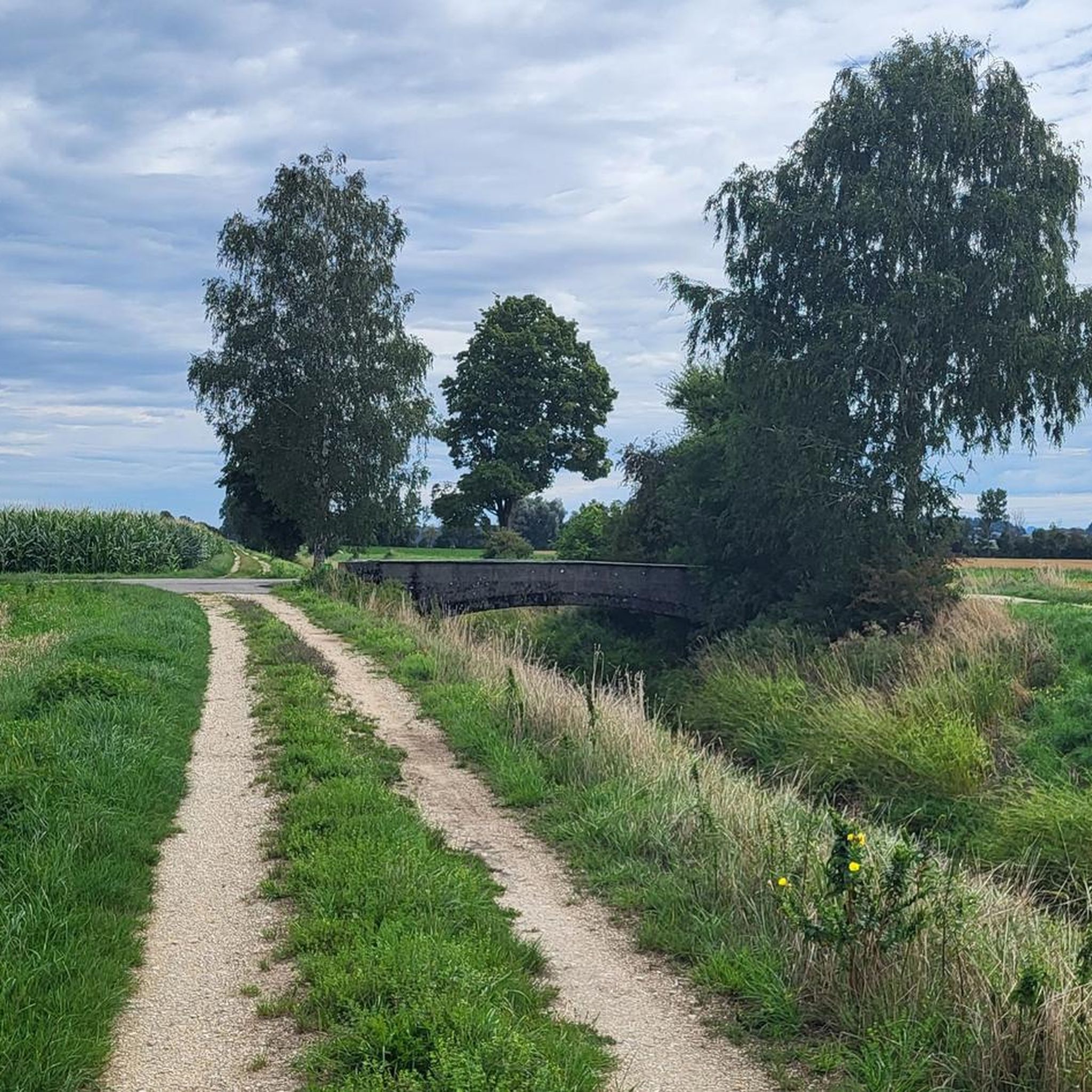
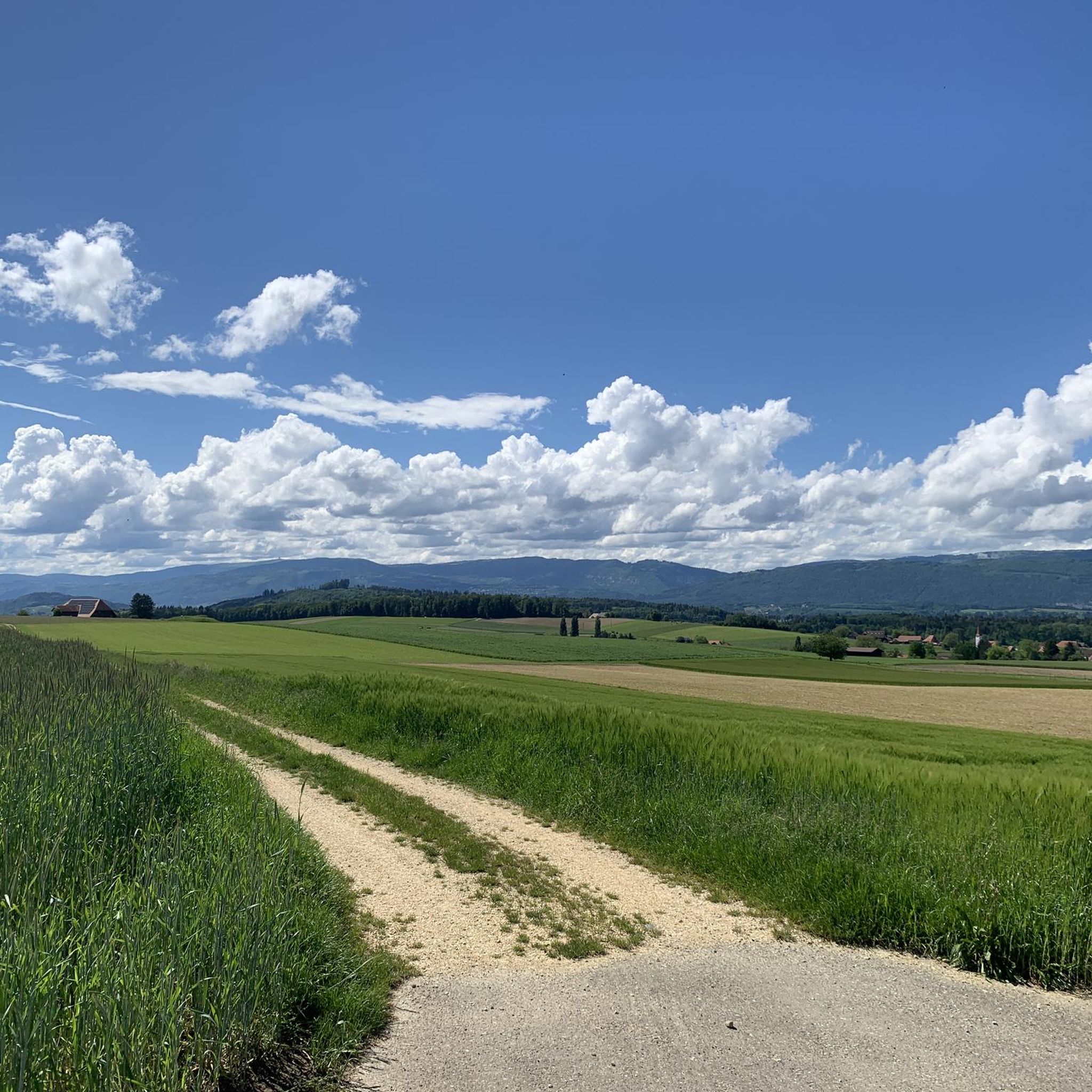
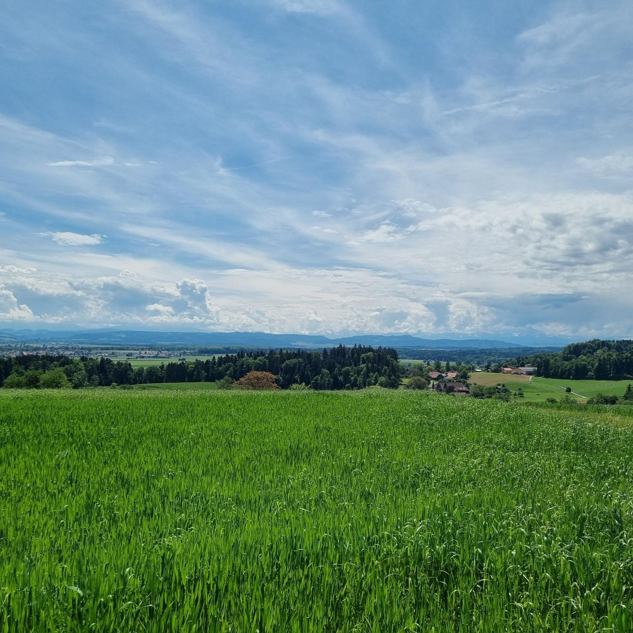
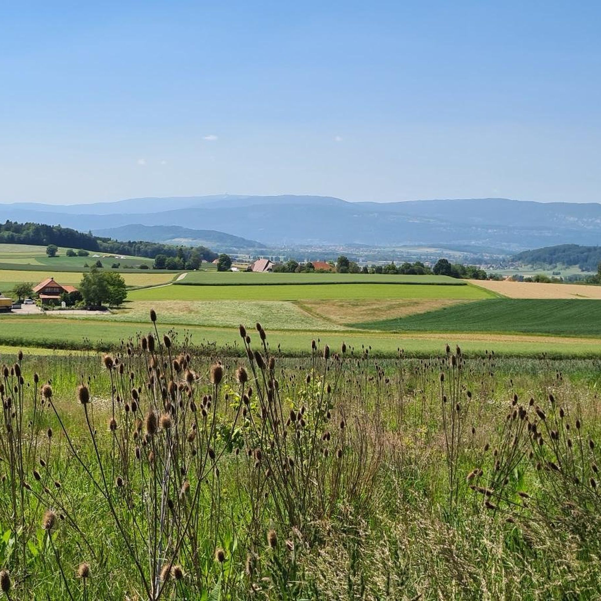
Hiking in Bucheggberg offers diverse landscapes characterized by rolling hills, extensive beech forests, and a well-preserved rural environment. The region features a mosaic of woodlands, meadows, and fields, providing varied terrain for walkers. The Aare River forms a significant natural boundary, offering scenic riverside paths, while the area also includes historical sites like Buchegg Castle. This part of Solothurn maintains an authentic agricultural image alongside its natural beauty.
Best hiking trails in Bucheggberg
- The most popular hiking route is Mühlebach…
Last updated: August 20, 2026
4.9
(9)
45
hikers
16.7km
04:37
300m
300m
Moderate hike. Good fitness required. Easily-accessible paths. Suitable for all skill levels.
5.0
(7)
29
hikers
11.2km
03:09
230m
230m
Moderate hike. Good fitness required. Easily-accessible paths. Suitable for all skill levels.

Sign up for free
4.8
(6)
18
hikers
6.40km
01:48
140m
130m
Easy hike. Great for any fitness level. Easily-accessible paths. Suitable for all skill levels.
4.7
(3)
12
hikers
5.47km
01:34
130m
130m
Easy hike. Great for any fitness level. Easily-accessible paths. Suitable for all skill levels.
4.5
(6)
15
hikers
5.60km
01:31
80m
80m
Easy hike. Great for any fitness level. Easily-accessible paths. Suitable for all skill levels.
4.9
(9)
44
hikers
15.8km
04:23
290m
290m
Moderate hike. Good fitness required. Easily-accessible paths. Suitable for all skill levels.
4.3
(4)
11
hikers
5.11km
01:24
80m
80m
Easy hike. Great for any fitness level. Easily-accessible paths. Suitable for all skill levels.
5.0
(1)
6
hikers
9.73km
02:40
150m
150m
Moderate hike. Good fitness required. Easily-accessible paths. Suitable for all skill levels.
4.8
(4)
18
hikers
5.48km
01:36
160m
160m
Easy hike. Great for any fitness level. Easily-accessible paths. Suitable for all skill levels.
4.3
(3)
8
hikers
6.76km
01:51
110m
110m
Easy hike. Great for any fitness level. Easily-accessible paths. Suitable for all skill levels.
Get access to more routes and recommendations from other explorers.
Sign up for free
Already have an account?
Our route recommendations are based on thousands of hikes, rides, and runs completed by other people on komoot.
Start today with a free account
Your next adventure awaits.
Login or Signup
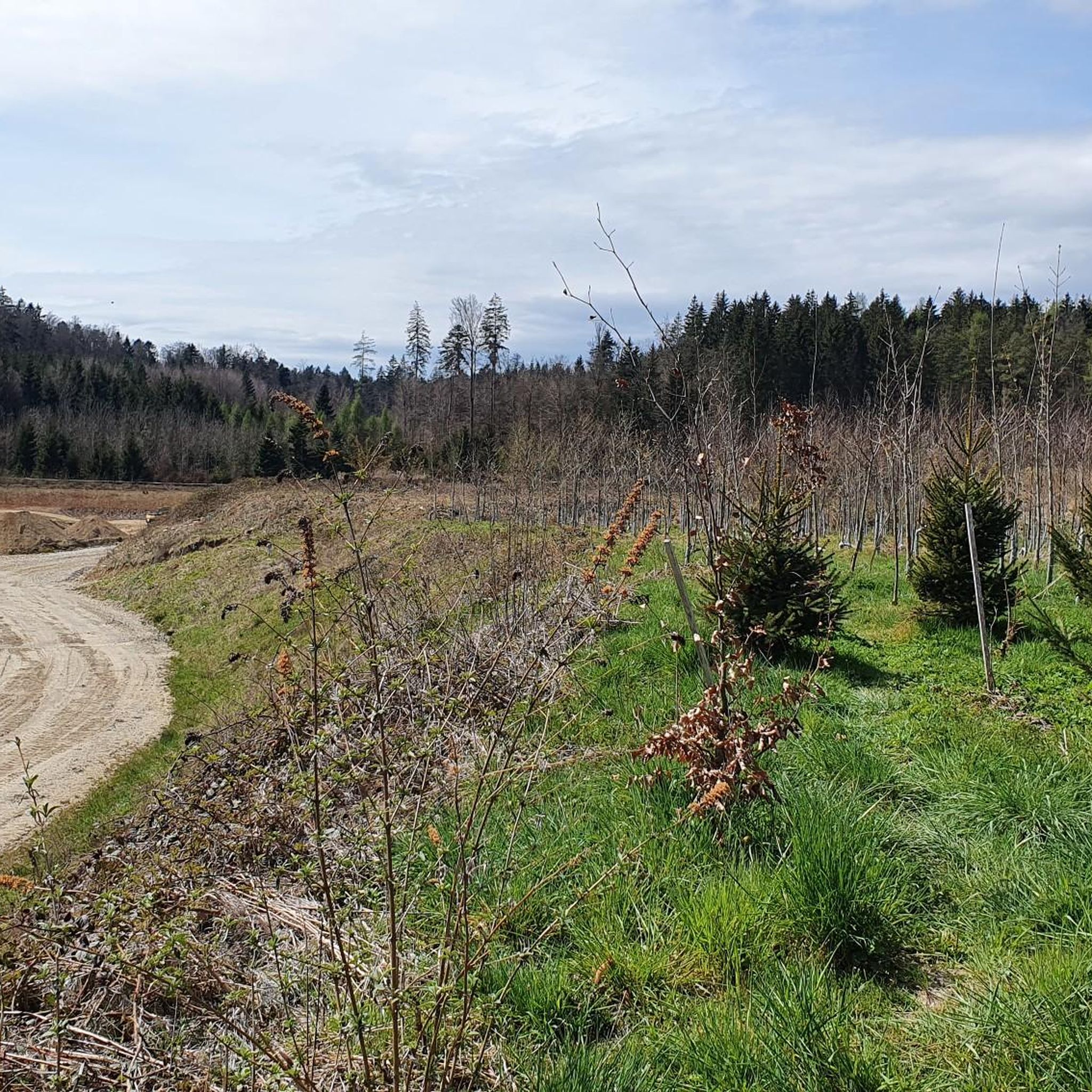
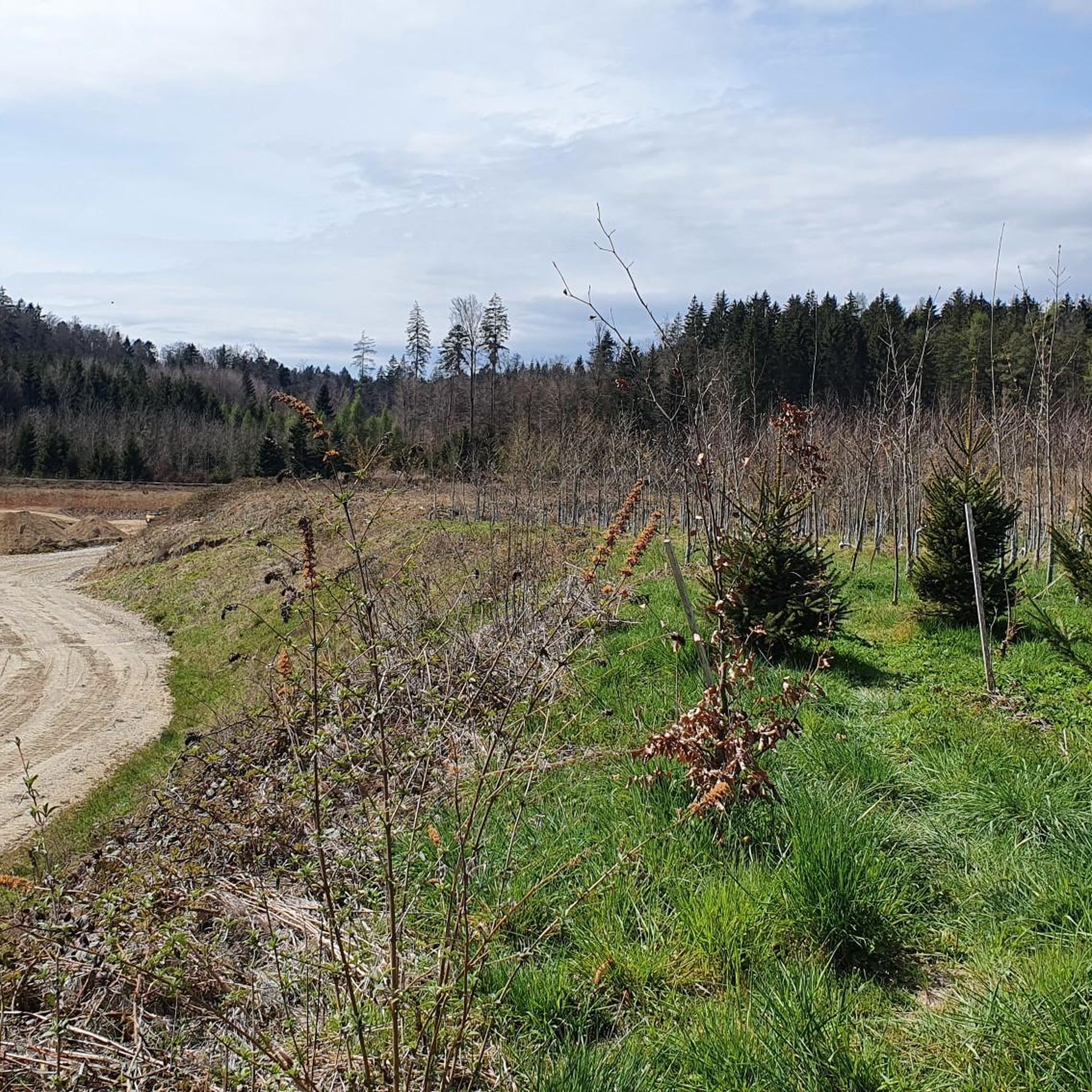
Tips from the Community

The Buchegg Castle Foundation Founded in 1938, the Stiftung Schloss Buchegg is the owner of the Buechischlössli, a tower built in 1546 that served, among other things, as a prison for 250 years. The Buechischlössli stands on the grounds of a medieval castle complex. In addition to its core tasks – care and maintenance of the tower and castle grounds – the foundation promotes culture and art, operates the Bucheggberg district archive, and awards a cultural and recognition prize. It also maintains the Bucheggberg circular hiking trail. More information: https://www.schlossbuchegg.ch/
0
0


Casual, easy to ride trail.
0
0

Beautiful view from the Egg near Aetigkofen
0
0

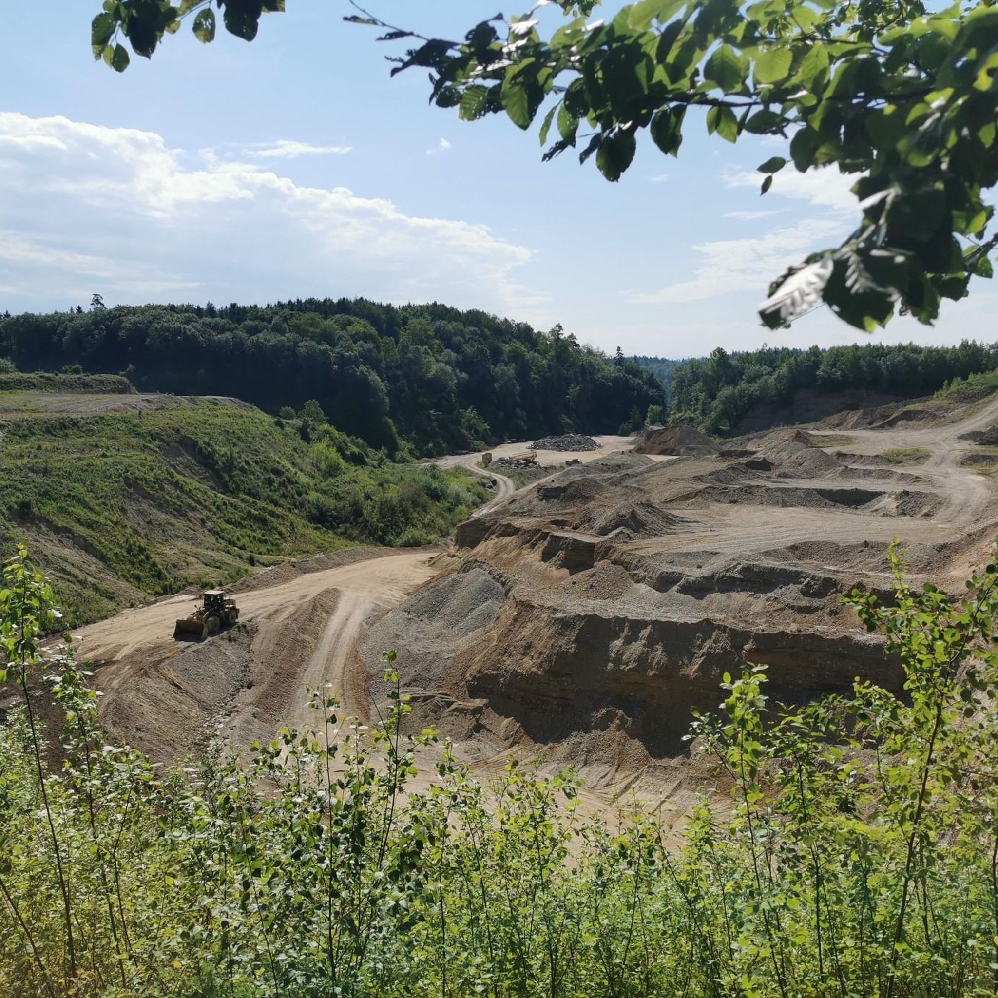
At this point there is a sandstone pit, which can be accessed from the back through a tunnel. In the pit there is a fireplace and various wooden chairs made from tree trunks. In the summer a shady place to grill. "You enter the pit through a tunnel that the users once excavated. Mining began in the 16th century. At that time, a lot of millstones were needed, a pit near Oberramsern could no longer meet the demand. This was the decision of the Great Council of Solothurn In 1527 a local miller was commissioned to quarry stone near Ober Bockstein on its land. After a few years, however, the miller gave up, as it turned out that his sandstone was too soft for millstones. In 1777, operations resumed in the Upper Bockstein Bockstein-Grube. Above all stove plates were now made from the sandstone. The last stone carver, the "Grubendurs", lived with his wife, the "Grubenänni" until 1890 on site, where the two had set up makeshift in a cave-like niche, as stated on the information board." Source: web.
0
0

Definitely more fun going down than up.
2
0
The castle is a small gem, with - as already described - a beautiful view of the Alpine chain. In front of it there is a nice restaurant with a small "green" garden. Very nice for the biker break in between.
0
0
Frequently Asked Questions
How many hiking trails are available in Bucheggberg?
Bucheggberg offers a diverse network of over 40 hiking trails. These routes traverse rolling hills, extensive beech forests, and scenic agricultural landscapes, providing options for various preferences and fitness levels.
What kind of terrain can I expect on hikes in Bucheggberg?
The terrain in Bucheggberg is characterized by gentle, wooded hills and extensive beech forests, interspersed with lush meadows and cultivated fields. You'll find a mix of forest paths and open landscapes, with moderate elevation changes that offer a rewarding experience without extreme difficulty. The region is known for its 'ups and downs' across fields and forests.
Are there any easy hiking trails suitable for beginners or families?
Yes, Bucheggberg has over 20 easy hiking trails. A good option for a relaxed walk is the Waldhaus Biezwil loop from Lüterswil-Gächliwil, which is about 4 miles (6.4 km) long and leads through pleasant wooded areas. Another easy route is the Waldhaus Biezwil – Rappersstübli, Burg Balmegg loop from Biezwil, offering a gentle 3.4-mile (5.5 km) walk.
What are some notable landmarks or natural features to see along the trails?
Hikers in Bucheggberg can explore several interesting landmarks and natural features. The historic Buchegg Castle, which houses a local museum, is a prominent attraction. You can also discover natural monuments like the Erratic Boulder of Hessigkofen or the peaceful Lüsslinger Bürgerweiher. The beautiful Aare River also forms a significant natural boundary, offering scenic riverside paths.
Are there any circular hiking trails in Bucheggberg?
Yes, many of the trails in Bucheggberg are circular, allowing you to start and end at the same point. For example, the Mühlebach Stream – Buchegg Castle loop from Buchegg is a popular 10.1-mile (16.3 km) circular route that combines natural streams with historical sites. Another option is the Mühlebach Stream – Buchegg Castle loop from Kyburg-Buchegg, a moderate 7.0-mile (11.2 km) circular path.
What do other hikers say about the trails in Bucheggberg?
The hiking trails in Bucheggberg are highly rated by the komoot community, with an average score of 4.6 stars from over 500 reviews. Hikers often praise the region's well-preserved rural charm, the diverse landscapes of forests and meadows, and the peaceful atmosphere. Many appreciate the variety of routes suitable for different fitness levels.
Can I bring my dog on the hiking trails in Bucheggberg?
Bucheggberg is generally dog-friendly, with many trails suitable for walks with your canine companion. However, it's always recommended to keep dogs on a leash, especially when passing through agricultural areas or near livestock, and to respect local regulations. Always carry water for your dog and clean up after them.
What is the best time of year to go hiking in Bucheggberg?
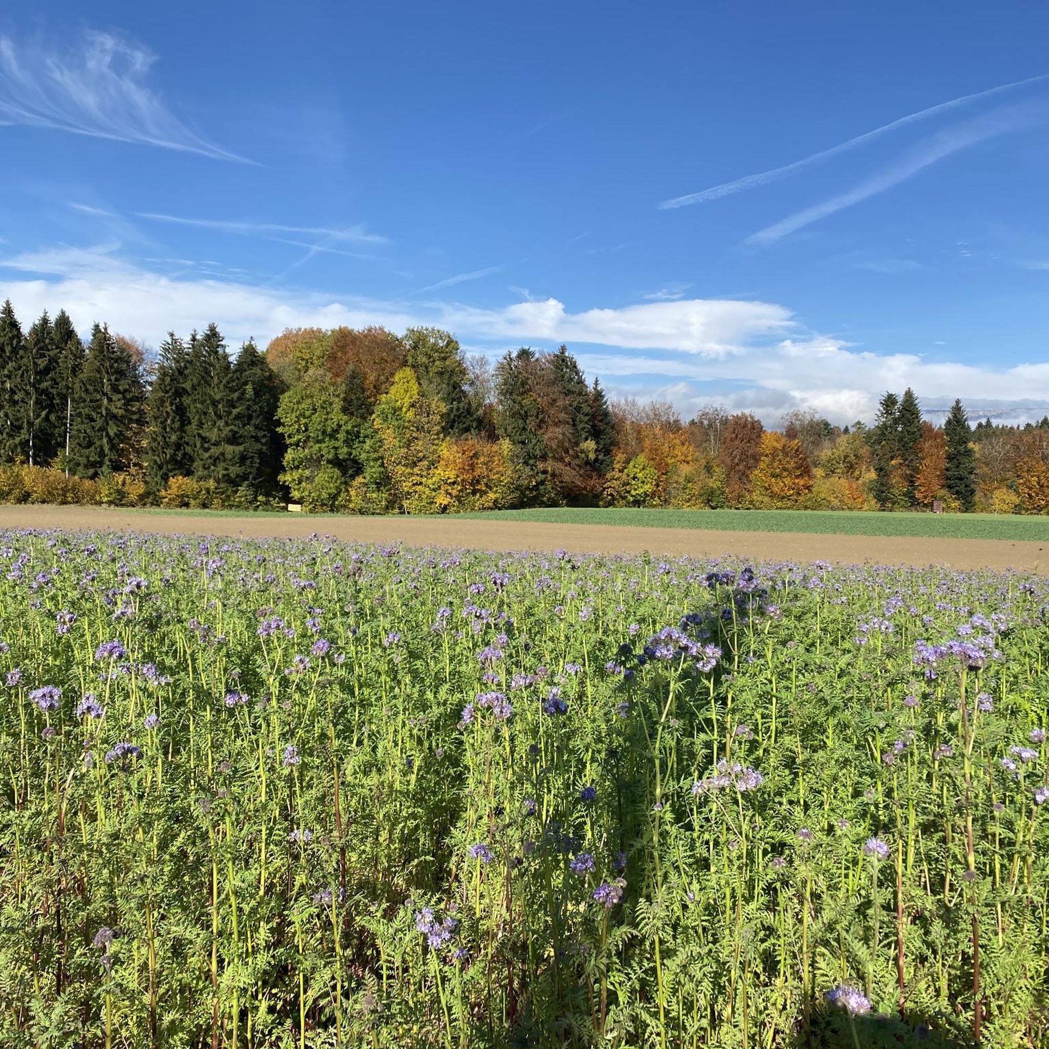
The best time for hiking in Bucheggberg is typically from spring through autumn. During these seasons, the weather is generally pleasant, and the landscapes are vibrant with lush greenery or autumn colors. Spring brings blooming meadows, while autumn offers beautiful foliage. Winter hikes are also possible, especially on lower-lying trails, but conditions can vary.
Are there any trails with good viewpoints in Bucheggberg?
Yes, Bucheggberg offers several trails with rewarding viewpoints. The region's rolling hills provide natural vantage points. The Hubel Trail, for instance, is known for offering pleasant walking with views overlooking the Jura mountains and even the Bernese Alps on clear days. You can also find scenic vistas from routes like the View from Egg near Aetigkofen loop from Lüterswil-Gächliwil.
How can I get to the hiking trails in Bucheggberg using public transport?
Bucheggberg is accessible by public transport, though specific trailheads may require local bus connections. The region is part of the Solothurn canton, which has a well-developed public transport network. For detailed information on bus schedules and connections to specific starting points, it's advisable to check the local public transport websites or use a journey planner. The Bucheggberg circular hike, for example, starts and ends at Buchegg Castle, which is reachable by public transport.
Are there any longer, more challenging hikes in the region?
While Bucheggberg is known for its rolling hills, it also offers longer routes for those seeking more challenge. The region provides access to the Hasenmatt, the highest peak in the canton of Solothurn, which offers opportunities for more demanding hikes with magnificent Alpine panoramas. Within Bucheggberg itself, routes like the Buchegg Castle – Mühlebach Stream loop from Kyburg-Buchegg, at nearly 10 miles (15.8 km), provide a good distance and moderate elevation changes.
Most popular routes in Bucheggberg
Most popular attractions in Bucheggberg

Get inspired with the komoot mobile app


Didn’t find what you were looking for?
Check out more Hikes throughout Bucheggberg below and find the perfect route in your destination.
Explore more
Browse the best Hikes in other regions.
