The best walks and hikes around Garai
4.6
(1137)
6,992
hikers
287
hikes
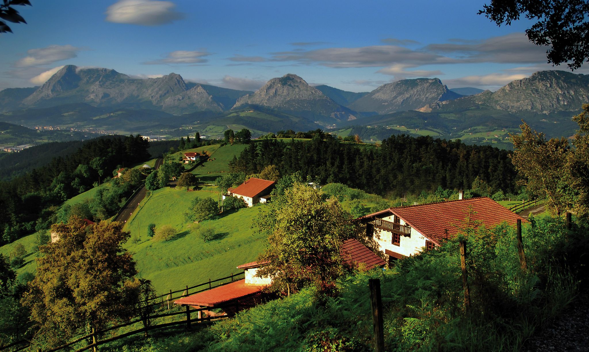
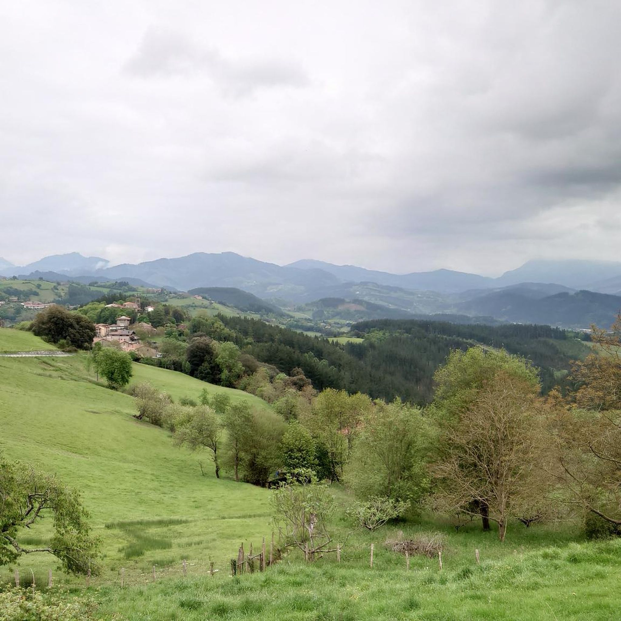
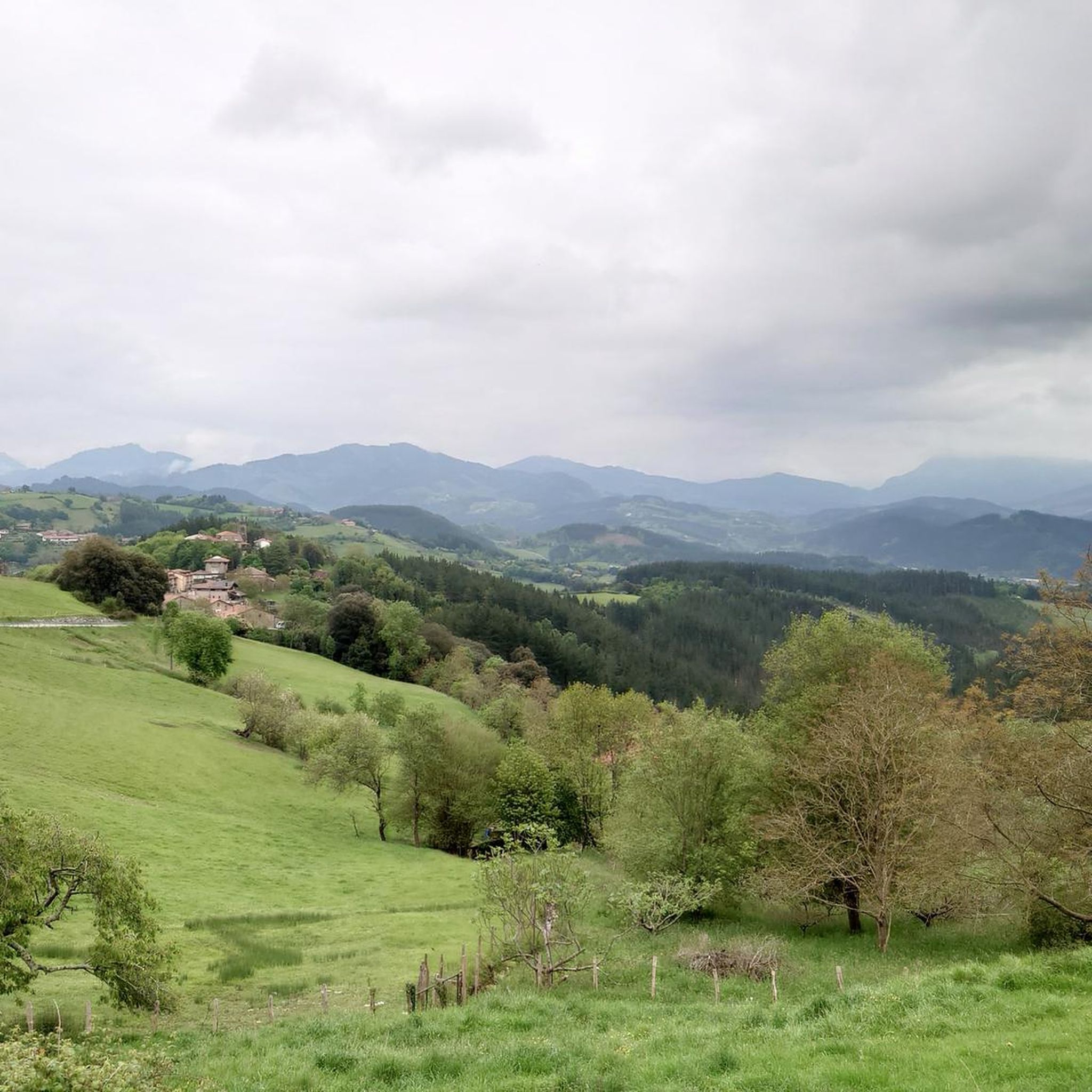
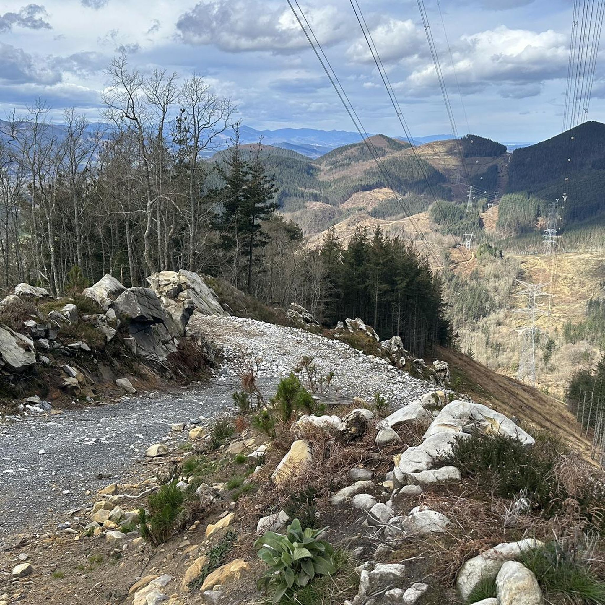
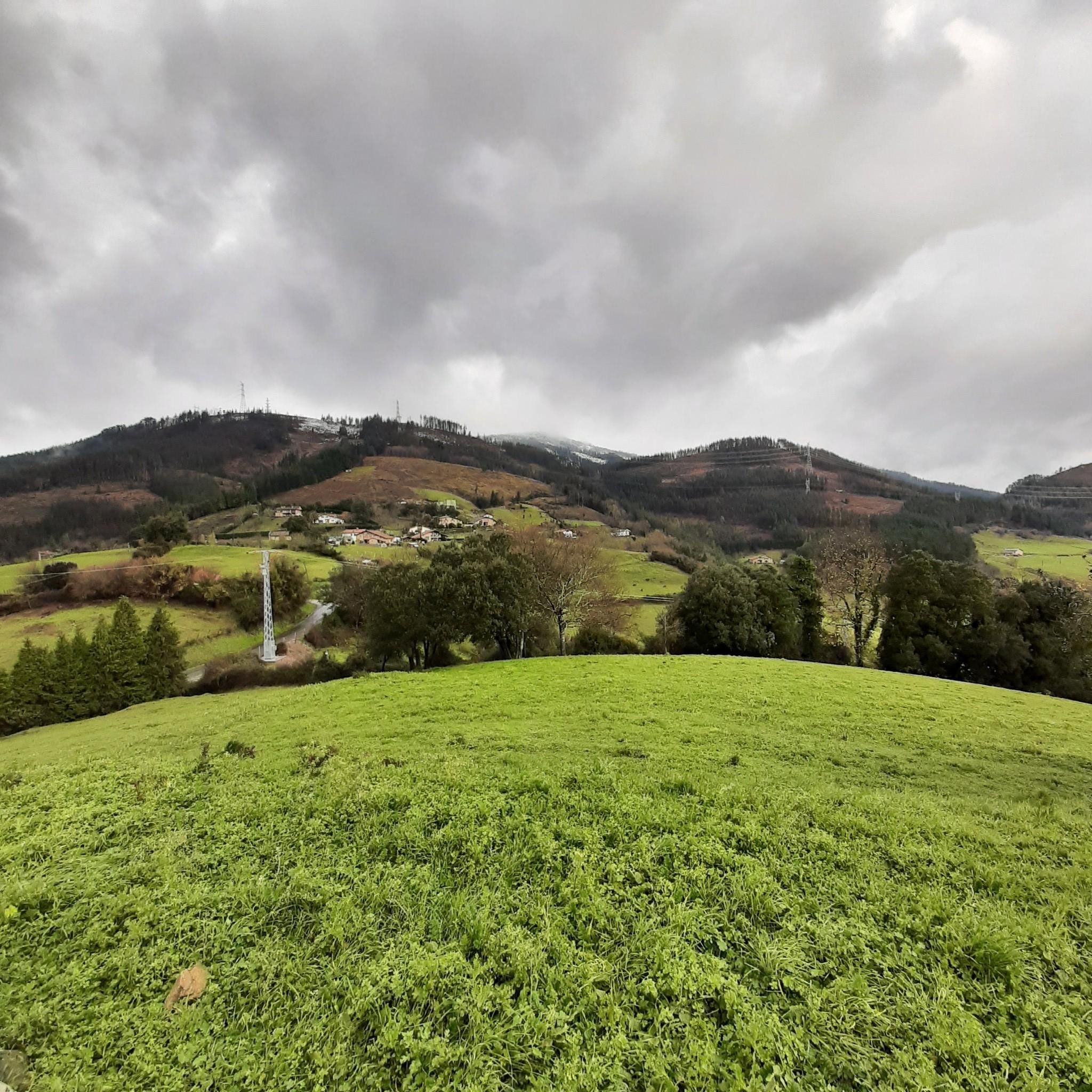
Hiking trails around Garai traverse a landscape characterized by rolling hills and distinct summits, offering varied elevation changes. The region features a network of paths that lead through rural areas and provide access to viewpoints from higher ground. Many routes are designed as circular walks, allowing hikers to experience diverse scenery within a single outing.
Best hiking trails around Garai
- The most popular hiking route is Monte Oiz – Mount Oiz Summit loop from Añao, an 11.6 miles (18.6…
Last updated: May 22, 2026
4.6
(7)
24
hikers
19.3km
05:47
600m
600m
Hard hike. Very good fitness required. Mostly accessible paths. Sure-footedness required.
15
hikers
Easy hike. Great for any fitness level. Easily-accessible paths. Suitable for all skill levels.

Sign up for free
4.3
(3)
12
hikers
11.0km
03:24
420m
420m
Moderate hike. Good fitness required. Easily-accessible paths. Suitable for all skill levels.
9
hikers
7.40km
02:05
150m
150m
Moderate hike. Good fitness required. Easily-accessible paths. Suitable for all skill levels.
8
hikers
4.68km
01:12
20m
20m
Easy hike. Great for any fitness level. Easily-accessible paths. Suitable for all skill levels.
Get access to more routes and recommendations from other explorers.
Sign up for free
Already have an account?
Our route recommendations are based on thousands of hikes, rides, and runs completed by other people on komoot.
Start today with a free account
Your next adventure awaits.
Login or Signup


Other adventures around Garai

Tips from the Community


Nice picnic area, located in the forest, with picnic areas and barbecues. It is an ideal place to enjoy nature.
1
0
Located between green hills, the municipality of Garay is part of the Duranguesado region, in Vizcaya. It is located on the slopes of the Oiz massif.
1
0
Located above the neighborhood of Sarria, this summit is located west of Mount Gaztelu. It has a height of 604 meters above sea level.
0
0

Nice views of the coast and the Duranguesado
0
0

Small hermitage located on a hill at 791 meters above sea level, near the top of Monte Oiz. It is a place of great devotion and tradition, and offers stunning panoramic views of the surrounding valleys and mountains.
1
0
Frequently Asked Questions
How many hiking trails are available in Garai?
Garai offers a wide selection of hiking opportunities, with nearly 300 routes available on komoot. These trails traverse a landscape of rolling hills and distinct summits, providing varied elevation changes and scenic views.
Are there easy hiking trails suitable for beginners in Garai?
Yes, Garai has a good selection of easy trails. There are over 50 easy routes, perfect for those looking for a more relaxed walk. An example is the Ermita de San Vicente – Church of San Trokaz loop from Durangaldea, which is 7.2 km long and takes less than 2 hours to complete.
What kind of challenging hikes can I find in Garai?
For experienced hikers, Garai offers over 60 difficult routes, many of which ascend to prominent summits. These trails often feature significant elevation gains and longer distances. The region is known for its accessible summits and varied terrain, providing a good challenge.
Are there any circular walks or loop trails in Garai?
Many of the routes in Garai are designed as circular walks, allowing hikers to experience diverse scenery within a single outing without retracing their steps. For example, the Garai loop from Garai is a moderate 7.4 km circular trail.
What are some interesting landmarks or attractions to see near the hiking trails in Garai?
The Garai area is rich in points of interest. You can explore historical sites like the Monastery of Santa María de Zenarruza or the Urkiola Sanctuary. Nature lovers might enjoy visiting the Artzubi Bridge or exploring the various peaks such as Alluitz (1034m) and Mugarra Summit (969 m).
What do other hikers enjoy most about hiking in Garai?
The hiking trails in Garai are highly rated by the komoot community, with an average score of 4.6 stars from over 1000 reviews. Hikers often praise the region for its varied terrain, accessible summits, and the numerous circular walks that offer diverse scenery.
Is Garai suitable for family-friendly hikes?
Yes, Garai offers a variety of trails that can be enjoyed by families. With over 50 easy routes, you can find shorter, less strenuous options that are suitable for children. Look for trails with minimal elevation gain and clear paths for a pleasant family outing.
Can I bring my dog on the hiking trails in Garai?
Generally, dogs are welcome on most hiking trails in Garai, especially in rural and natural areas. However, it's always recommended to keep your dog on a leash, especially when passing through agricultural land or near livestock, and to check local regulations for specific nature reserves or protected areas.
Are there good viewpoints along the hiking trails in Garai?
Absolutely. The Garai region is characterized by rolling hills and distinct summits, many of which offer expansive views over the surrounding landscape. Trails leading to peaks like Monte Oiz provide panoramic vistas, making them popular choices for those seeking scenic outlooks.
What is the best time of year to hike in Garai?
The best time to hike in Garai is typically during spring (April-June) and autumn (September-November) when the weather is mild and the natural scenery is vibrant. Summer can also be pleasant, but it's advisable to start early to avoid the midday heat. Winter hiking is possible, but some higher elevation trails might be more challenging due to weather conditions.
Are there options for public transport to reach Garai's hiking areas?
While Garai is a rural area, some local bus services connect the main towns and villages. For specific trailheads, public transport might be limited, so checking local bus schedules in advance is recommended. Many hikers choose to drive to access a wider range of starting points.
Are there cafes or pubs near the hiking trails in Garai?
Garai and its surrounding villages offer local establishments where hikers can refuel. You'll find traditional Basque taverns and cafes in the small settlements, often serving local specialties. It's a good idea to plan your route to pass through a village if you intend to stop for refreshments.
Most popular attractions around Garai

Get inspired with the komoot mobile app


Explore more
Browse the best Hikes in other regions.
