The best walks and hikes around Aldeanueva De Barbarroya
5.0
(3)
15
hikers
8
hikes
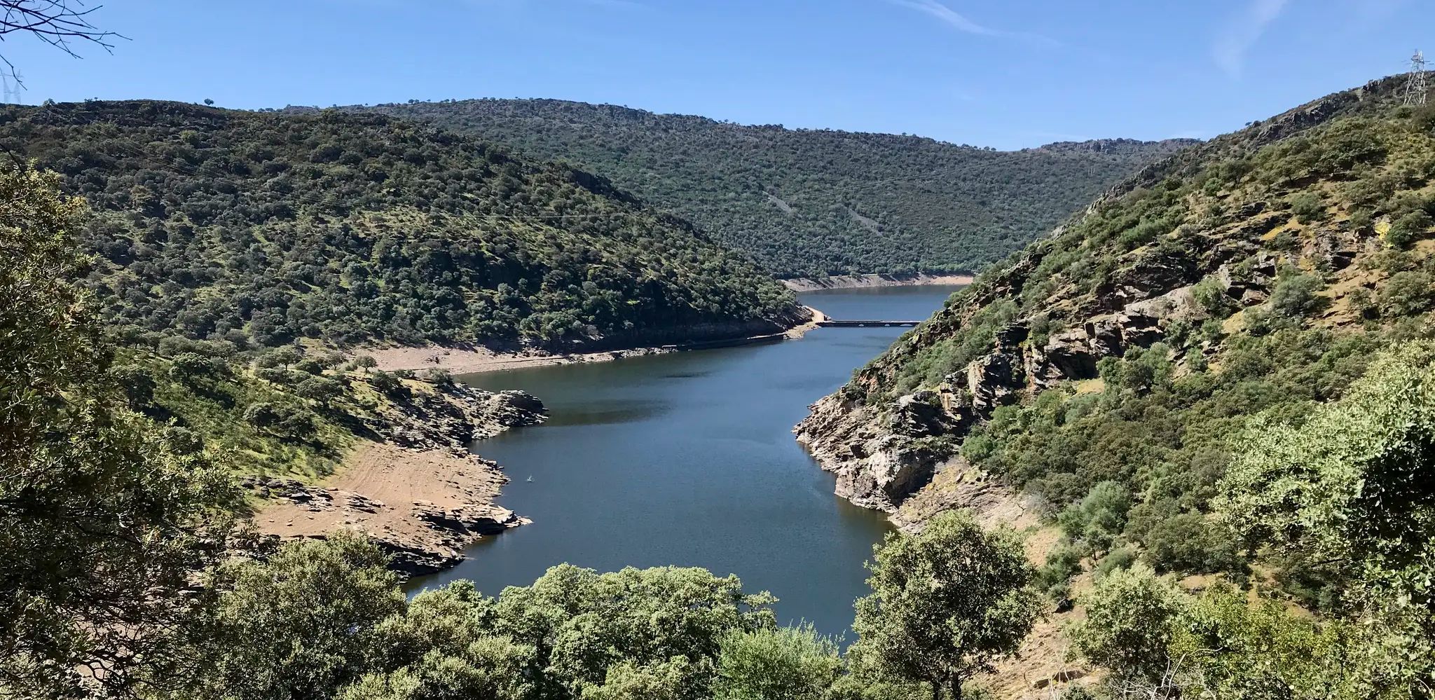
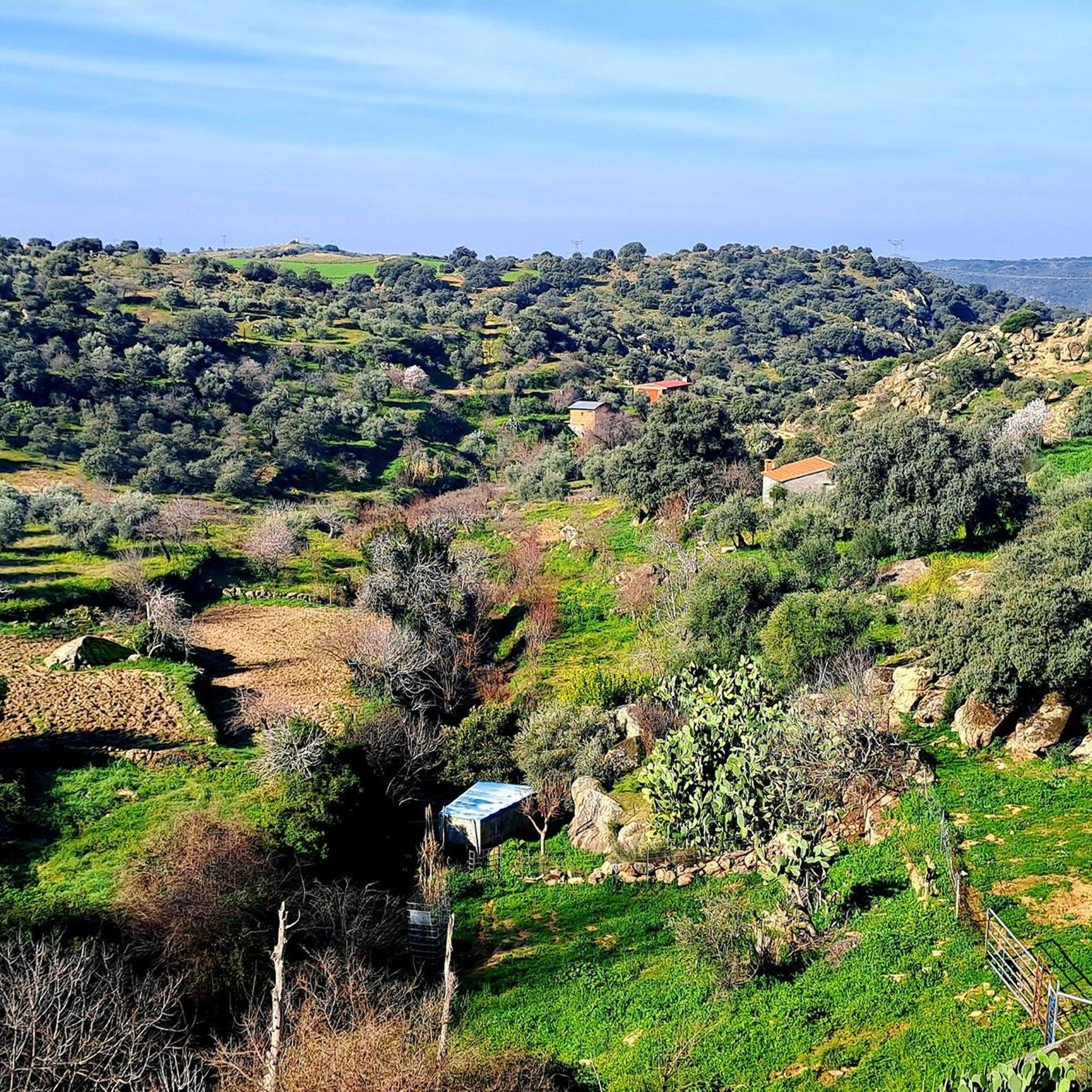
Hiking around Aldeanueva De Barbarroya offers diverse natural landscapes, situated between the Tagus and Huso rivers and the Montes de Toledo. The terrain features river valleys, hills, and dehesas, characterized by Mediterranean forests and unique granite formations. Hikers can explore areas with holm oaks and views of the Tagus River and Azután Reservoir. The region provides varied scenic backdrops for different hiking experiences.
Best hiking trails around Aldeanueva De Barbarroya
- The most popular hiking route is Tajo Nature Trail Loop from Aldeanueva de Barbarroya, a 5.3 miles (8.6 km) trail that takes 2 hours 18 minutes to complete. This moderate route offers views of the Amador Bridge.
- Another top favourite among local hikers is El Puente del Arzobispo - Azután, a moderate 6.2 miles (10.1 km) path. This trail connects the historic Archbishop's Bridge with the ancient Azután dolmen.
- Local hikers also love the Bellavista Viewpoint Trail, a 5.4 miles (8.7 km) trail leading through varied relief with a significant elevation gain, often completed in about 2 hours 48 minutes.
- Hiking around Aldeanueva De Barbarroya is defined by river valleys, dehesas, and Mediterranean forests. The network offers options for different ability levels, including easy and moderate trails.
- The routes in Aldeanueva De Barbarroya are highly rated by the komoot community with an average score of 5.0 stars from over 2 reviews. More than 14 hikers have used komoot to explore Aldeanueva De Barbarroya's varied terrain.
Last updated: July 7, 2026
5.0
(1)
2
hikers
8.55km
02:18
110m
110m
Moderate hike. Good fitness required. Easily-accessible paths. Suitable for all skill levels.
1
hikers
10.1km
02:40
100m
100m
Moderate hike. Good fitness required. Easily-accessible paths. Suitable for all skill levels.

Sign up for free
1
hikers
8.65km
02:48
360m
350m
Moderate hike. Good fitness required. Easily-accessible paths. Suitable for all skill levels.
1
hikers
6.65km
01:49
110m
110m
Moderate hike. Great for any fitness level. Mostly accessible paths. Sure-footedness required.
9.42km
02:28
80m
80m
Moderate hike. Good fitness required. Easily-accessible paths. Suitable for all skill levels.
Get access to more routes and recommendations from other explorers.
Sign up for free
Already have an account?
Our route recommendations are based on thousands of hikes, rides, and runs completed by other people on komoot.
Start today with a free account
Your next adventure awaits.
Login or Signup

Other adventures around Aldeanueva De Barbarroya

Tips from the Community

Historic bridge commissioned by the Archbishop of Toledo in the 14th century, in spring/summer home to hundreds of swifts, creating a unique spectacle.
0
0
Fantastic panoramic view of the Tagus River on the way to the Azután reservoir, you will find it on the Vía Verde de la Jara... but beware!!!! It is currently closed according to the official greenways website, and if you go, it is at your own risk.
0
0

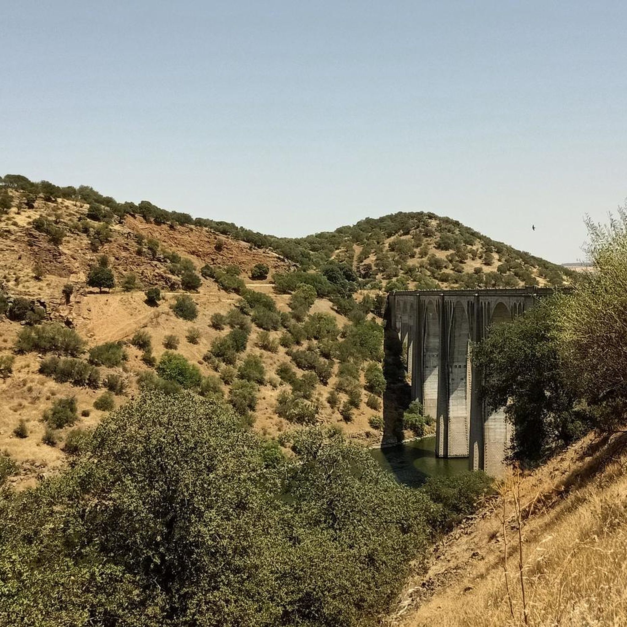
The view of the Azután Viaduct from the Amador Bridge, in the La Jara region (Toledo), is one of the most spectacular along the Tajo Nature Trail GR-113 and the La Jara Green Route.
5
0
The view of the Tagus River from the Azután Bridge, located in Aldeanueva de Barbarroya (Toledo), is one of the most peaceful and natural views in the La Jara region. This bridge offers a privileged panoramic view of the river in a sparsely built environment, ideal for those seeking serene landscapes and nature trails.
5
0

Using the power of moving water to drive a mill wheel is an ancient invention that dates back to pre-Christian times. Thanks to such a construction, human or animal muscle power could be easily replaced by a watercourse - natural or artificially created - in order to grind grain into corn, for example. There are essentially two different ways of driving watermills: Either the water simply hits the blades of the water wheel from below to set it in motion; or the water is guided above the wheel and falls onto the blades; this type of construction is more efficient due to natural gravity.
0
1

The Archbishop's Bridge is a municipality in Toledo that takes its name from its beautiful Gothic bridge with 11 arches that crosses the waters of the Tagus River. The town is famous for its ceramics, and together with Talavera de la Reina, it is the largest pottery center in Spain.
1
1

The obligatory point during the visit in the town is the Church of San Bartolomé, from the 16th century, in late Gothic style, where we can see the frescoes, which represent scenes from the life and martyrdom of San Bartolomé.
2
1
A granite hill, 680 m high, which allows us to enjoy the beautiful landscape that surrounds it. In addition, at the top we find remains of the walls of Celtic origin and later Muslim use.
3
0
Frequently Asked Questions
What kind of landscapes can I expect to see while hiking around Aldeanueva de Barbarroya?
The region offers diverse natural landscapes, including river valleys, hills, and dehesas (Mediterranean pastures). You'll encounter Mediterranean forests with holm oaks, unique granite formations, and panoramic views of the Tagus River and the Azután Reservoir. The varied relief provides a range of scenic backdrops for your hikes.
Are there any easy hiking trails suitable for beginners or families?
Yes, there are options for different ability levels. While most routes are moderate, the region does offer some easier paths. For example, the Sendero Cerro El Castrejón (SL-TO 02) is a moderate circular route that is relatively shorter, making it a good option for those seeking a less strenuous experience.
What historical or natural landmarks can I discover on the trails?
Hikers can explore a rich blend of natural beauty and historical sites. You might encounter remnants of ancient Roman roads, such as those near Azután. Notable landmarks include the impressive Amador Bridge or Azután Viaduct, the historic Puente del Arzobispo, and the ancient Azután dolmen, which you can visit on the El Puente del Arzobispo - Azután route.
Are there any circular hiking routes in the area?
Yes, several routes are circular, allowing you to start and end at the same point. The Tajo Nature Trail Loop from Aldeanueva de Barbarroya is a popular circular option. Another is the Sendero Cerro El Castrejón (SL-TO 02), which also offers a circular path.
What is the best time of year to go hiking in Aldeanueva de Barbarroya?
The region's Mediterranean climate generally makes spring and autumn ideal for hiking, with milder temperatures and pleasant scenery. Summers can be hot, so early mornings or late afternoons are recommended if hiking during this season. Winters are usually mild, offering a different perspective of the landscape.
What are the typical elevation gains on hikes in this region?
Elevation gains vary across the trails. Many routes feature moderate ascents and descents, often around 100 meters. However, some trails, like the Bellavista Viewpoint Trail, include more significant elevation gains, reaching over 350 meters, offering more challenging climbs and rewarding panoramic views.
Is public transport available to reach the hiking trailheads?
Information on specific public transport links directly to trailheads is limited. It is generally recommended to travel by car to access many of the hiking routes in and around Aldeanueva de Barbarroya, as this provides the most flexibility for reaching starting points.
Are there places to park near the hiking trails?
While specific parking areas for each trailhead are not detailed, Aldeanueva de Barbarroya is a rural municipality. Parking is generally available in or near the villages where many routes begin. It's advisable to check local signage or maps for designated parking spots upon arrival.
What do other hikers say about the trails in Aldeanueva de Barbarroya?
The hiking routes in Aldeanueva de Barbarroya are highly rated by the komoot community, with an average score of 5.0 stars. Hikers often praise the varied terrain, the scenic views of the Tagus River, and the opportunity to explore both natural beauty and historical sites like the Amador Bridge.
Are the hiking trails in Aldeanueva de Barbarroya dog-friendly?
While specific regulations for dogs on every trail are not provided, many natural areas in Spain are generally dog-friendly, especially if dogs are kept on a leash. It's always best to ensure your dog is well-behaved and to carry waste bags. Check for any specific local signage at trailheads regarding pet policies.
What is the Vía Verde de la Jara and can I hike on it?
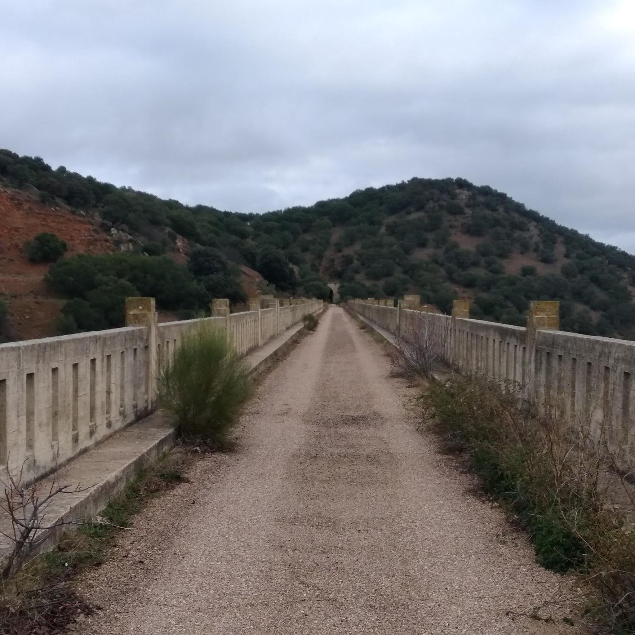
The Vía Verde de la Jara is a disused railway line transformed into an accessible greenway. It's ideal for both cycling and hiking, offering a gently sloped route through areas of high environmental value, including the Tagus River valley, dehesas, and the Sierra de Altamira. It features 17 tunnels and 5 viaducts, providing unique sights.
Are there any viewpoints offering panoramic vistas?
Yes, the region offers several spots with excellent views. The Bellavista Viewpoint Trail is specifically designed to lead to panoramic views from the Montes de Toledo. Additionally, the Puente Azután Viewpoint provides stunning perspectives of the Tagus River and the Azután Reservoir.
Most popular attractions around Aldeanueva De Barbarroya

Get inspired with the komoot mobile app


Explore more
Browse the best Hikes in other regions.
