The best walks and hikes around Sant Feliu De Codines
4.2
(148)
814
hikers
17
hikes
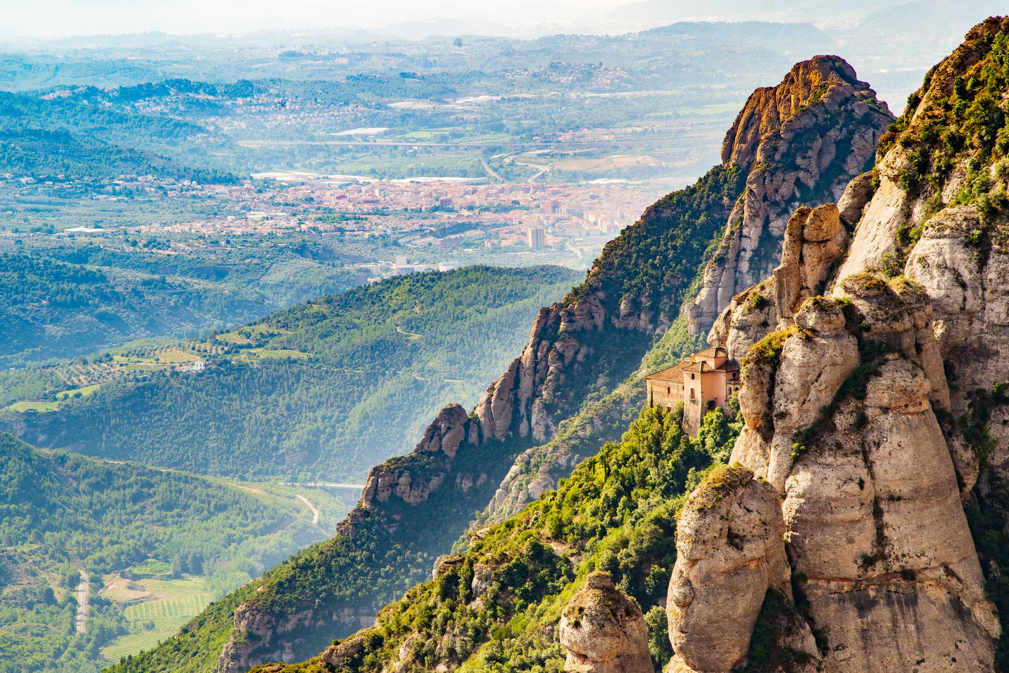
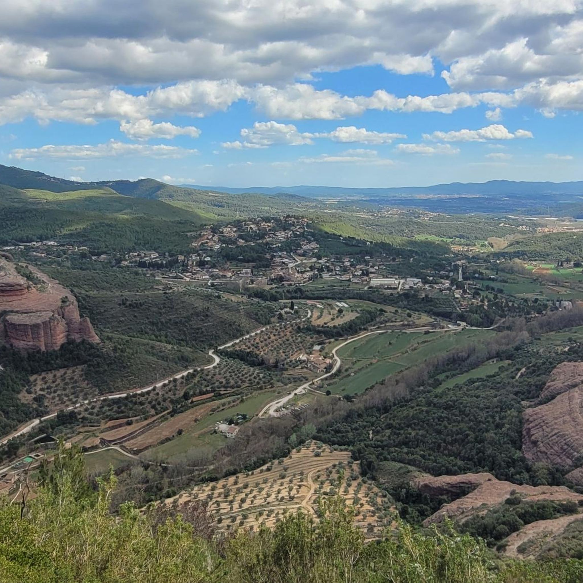
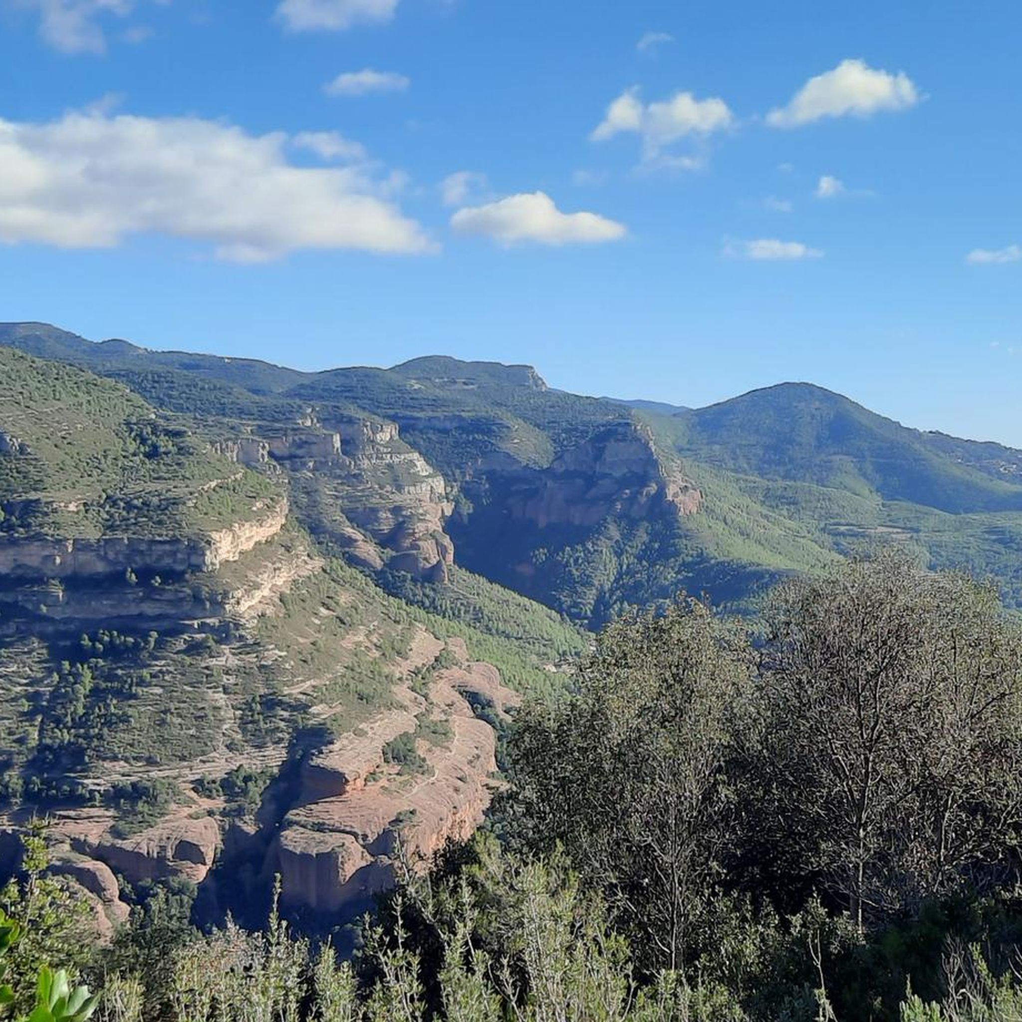
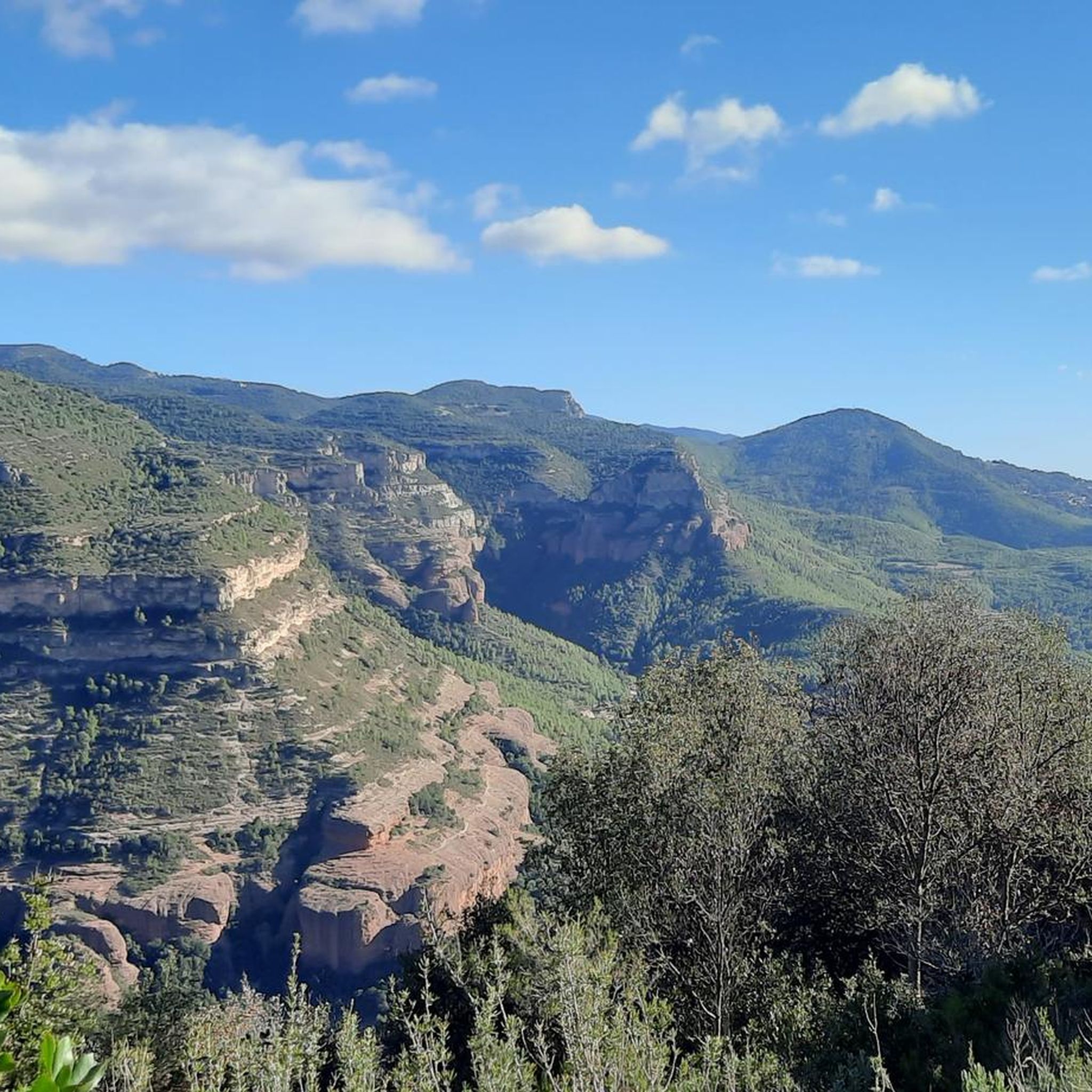
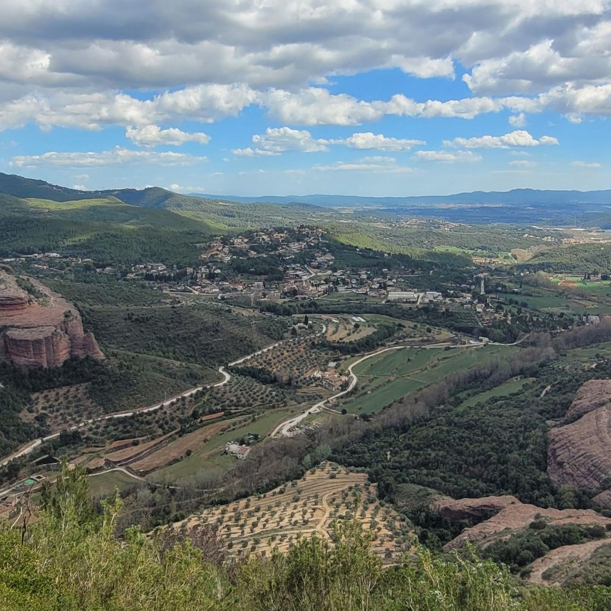
Hiking around Sant Feliu De Codines offers diverse landscapes, from dramatic cliffs to dense pine forests and riverbeds. The region is characterized by a hilly terrain, featuring steep reliefs and elevated points that provide expansive views. Hikers can explore a blend of natural features, including rock formations and waterfalls, alongside historical attractions.
Best hiking trails around Sant Feliu De Codines
- The most popular hiking route is Sender dels Miradors Loop, an 8.6 miles (13.9 km) trail that takes 4…
Last updated: June 23, 2026
3.6
(10)
43
hikers
13.9km
04:28
560m
560m
Moderate hike. Good fitness required. Mostly accessible paths. Sure-footedness required.
5.0
(1)
9
hikers
16.4km
04:46
430m
430m
Moderate hike. Good fitness required. Easily-accessible paths. Suitable for all skill levels.

Sign up for free
4.7
(6)
14
hikers
10.2km
03:05
290m
300m
Moderate hike. Good fitness required. Mostly accessible paths. Sure-footedness required.
5.0
(3)
24
hikers
8.74km
03:20
410m
410m
Moderate hike. Good fitness required. Mostly accessible paths. Sure-footedness required.
4.0
(2)
23
hikers
9.37km
03:30
480m
480m
Moderate hike. Good fitness required. Mostly accessible paths. Sure-footedness required.
Get access to more routes and recommendations from other explorers.
Sign up for free
Already have an account?
Our route recommendations are based on thousands of hikes, rides, and runs completed by other people on komoot.
Start today with a free account
Your next adventure awaits.
Login or Signup

Other adventures around Sant Feliu De Codines

Tips from the Community

Especially if it has rained, it is spectacular
0
0

Beautiful area at the foot of the Tenes River where different mills appear along the riverbed. There are also weevils such as the Black Weevil or the Blue Weevil.
0
0

Small corner to get some air
1
0

Sant Feliu de Codines is a municipality in the Vallès Oriental region. The town stands out for being located at the foot of the suggestive cliffs of Sant Adurní. Due to the beautiful nature that surrounds it, Sant Feliu de Codines became a summer resort for the Catalan bourgeoisie in the 20th century. For this reason, if you take a walk through the town you will be able to see several manor houses.
1
1

Romanesque-style religious sanctuary located in the municipality of Gallifa, in Vallés Occidental. Its origins date back to the year 939 and it is located at the top of La Mola, at an altitude of 942 metres. It gives its name to the Riscos de Sant Sadurní, which surround almost all of La Mola. It is a building that is part of the Inventory of the Architectural Heritage of Catalonia.
1
0

Cim d'Àligues, a center specializing in birds of prey, organizes various activities throughout the year with the aim of making visitors aware of the particularities of these birds. One of the proposals consists of observing the flight of these birds at a short distance for 45 minutes, with the aim of getting to know their main characteristics better. As the public observes the swift flight of the hawks, the silent flight of the owl, the elegant gliding of the eagle..., various specialists explain the differences between the species that can be seen. Cim d'Àligues opens from Tuesday to Sunday. To check the flight observation session times, visit their website. If it rains, the activities are cancelled.
0
0
La balma d'en Xec is located on the Bassella road. You can get there by passing the Cim d'Àligues track. An old waterfall has eroded the cliffs to form these balms. In addition, the titanic effort of the peasantry turned this rugged and unexplored area into fertile plains, which did not lack water thanks to the rainwater that flowed from it. This balma served as a refuge for farmers and livestock. It is currently in very good condition and is well worth a visit.
0
0
03/24/2022 The Sant Miquel del Fai site remains closed for works and will partially reopen to the public once the works on the car park and the conditioning of the external spaces are finished. In this sense, visitors are reminded that they cannot access it until the opening is made. The conditioning works began with the actions related to the natural environment to be able to guarantee the safety of all visitors. In this sense, sanitation and stabilization works were carried out on the cliff up to the waterfall of the Tenes river. The security of the facilities has been strengthened, with work to stabilize the slopes and renew the 1,500 meters of railings throughout the circuit, the lighting and the external wiring. The Diputació de Barcelona has owned the Sant Miquel del Fai complex since 2017, the year in which it acquired it with the intention of adapting it. It has been closed to the public since then, in order to carry out the necessary conditioning works and decide on its use plan and management as a space within the Natural Parks Network. The downpours and the COVID-19 pandemic have delayed the works. The complex of Sant Miquel del Fai is a Cultural Asset of National Interest and is included in the Plan of Areas of Natural Interest of the Cingles de Bertí, which is why the adaptation works have been fully adjusted to the conservation objectives patrimonial In December 2018, the Diputació de Barcelona also acquired the cartulary of the Benedictine monastery of Sant Miquel del Fai, a document from the 14th century of great historical importance.
2
0
Frequently Asked Questions
What types of landscapes and natural features can I expect to see while hiking in Sant Feliu de Codines?
The region is renowned for its diverse landscapes, including the dramatic cliffs of the Cingles de Bertí, dense pine forests, and winding riverbeds like the stream of Can Deu. You'll encounter varied terrain, rock formations, and picturesque waterfalls, all characteristic of the Moianès plateau.
Are there any trails that feature waterfalls in Sant Feliu de Codines?
Yes, several trails offer views of waterfalls. The Sender dels Miradors Loop, for example, is a moderate 8.6-mile hike that provides panoramic views and passes by waterfalls near Sant Miquel del Fai. The area around Sant Miquel del Fai itself is known for its waterfalls at the confluence of the Rossinyol and Tenes streams.
Which trails offer the best panoramic views of the surrounding area?
For breathtaking vistas, consider routes that ascend to elevated points. From La Trona, part of the Cingles de Bertí cliffs, you can enjoy expansive circular views, including the majestic Montseny and Matagalls mountains. The Puig de la Creu summit also offers panoramic views of Vallès Occidental, Collserola, Montseny, and even the San Lorenzo massif and Montserrat.
Are there any family-friendly hiking options in Sant Feliu de Codines?
While specific family-friendly routes are not detailed in the provided data, the region offers a range of easy to moderate trails. The general landscape of forests and riverbeds makes for pleasant walks. It's advisable to check individual route descriptions for suitability for younger hikers.
What historical sites or landmarks can be explored on hikes in the region?
Hikers can discover several historical points of interest. The Puiggraciós Sanctuary, with its baroque charm, is located at the top of the Cingles de Bertí. You might also encounter the Puiggraciós Optical Telegraph Tower, offering historical context and extensive views. The small 12th-century Romanesque Santa Maria Chapel near Puig de la Creu is another notable landmark. For a significant historical and natural site, consider visiting the area around Sant Miquel del Fai Monastery and Waterfall.
Are there any circular hiking routes available in Sant Feliu de Codines?
Yes, there are several circular routes. The Sender dels Miradors Loop is a popular moderate circular hike. Another option is the Sant Feliu de Codines – Gorg Negre loop from Sant Feliu de Codines, which is a 6.3-mile trail leading through varied terrain.
What is the best season for hiking in Sant Feliu de Codines?
Sant Feliu de Codines offers pleasant hiking conditions throughout much of the year. Spring and autumn generally provide mild temperatures and vibrant scenery, making them ideal. Summer can be warm, so early morning or late afternoon hikes are recommended. Winter hiking is also possible, but it's always wise to check local weather conditions before heading out.
How many hiking trails are available in Sant Feliu de Codines, and what are their difficulty levels?
There are over 18 hiking routes recorded in Sant Feliu de Codines. The trails cater to various skill levels, with 2 easy routes, 14 moderate routes, and 2 difficult routes, ensuring options for beginners and experienced hikers alike.
What do other hikers enjoy most about the trails in Sant Feliu de Codines?
The trails in Sant Feliu de Codines are highly rated by the komoot community, with an average score of 4.2 stars from over 100 reviews. Hikers frequently praise the diverse landscapes, including the dramatic cliffs and peaceful forests, as well as the rewarding panoramic views from elevated points.
Are there any challenging hikes for experienced trekkers?
For those seeking a challenge, the region offers a few more demanding routes. The full Ronda Codinenca, for instance, is a moderate-to-high difficulty route spanning approximately 34 kilometers with a 500-meter elevation gain. While not listed in the guide data, the Ronda Codinenca Trail is a moderate 10.2-mile version that explores the Cingles de Bertí, offering a good workout with significant elevation changes.
Where can I find parking for hiking trails in Sant Feliu de Codines?
While specific parking locations for individual trailheads are not detailed, Sant Feliu de Codines is a popular destination, and parking is generally available within the town or at common starting points for popular routes. It's recommended to check local signage or specific route information for designated parking areas.
What kind of terrain can I expect on the trails around Sant Feliu de Codines?
The terrain is predominantly hilly, featuring a mix of forest paths, gravel tracks, and rocky sections, especially around the Cingles de Bertí. You'll also find routes winding along riverbeds, offering varied surfaces and scenery throughout your hike.
Most popular routes around Sant Feliu De Codines
Most popular attractions around Sant Feliu De Codines

Get inspired with the komoot mobile app


Explore more
Browse the best Hikes in other regions.
