The best road cycling routes around Bello
3.0
(1)
48
riders
5
rides
Road cycling routes around Bello are situated in the Aburrá Valley, within the Andes mountain range. The urban area features a tilted plain, with elevations ranging from 1400 to 1600 meters above sea level, offering varied terrain for cyclists. Surrounding peaks, such as Cerro Quitasol, rise to 2,880 meters, contributing to the region's diverse topography. Bello is characterized by its natural features and green spaces, providing a scenic backdrop for road cycling.
Best road cycling routes around Bello
- The most…
Last updated: July 13, 2026
5
riders
Easy road ride. Great for any fitness level. Mostly well-paved surfaces and easy to ride.
5
riders
Easy road ride. Great for any fitness level. Mostly well-paved surfaces and easy to ride.

Sign up for free
3.0
(1)
21
riders
71.2km
03:20
690m
690m
Moderate road ride. Good fitness required. Some segments of this route may be unpaved and difficult to ride.
1
riders
74.5km
03:39
980m
980m
Hard road ride. Very good fitness required. Some segments of this route may be unpaved and difficult to ride.
1
riders
112km
05:19
1,280m
1,280m
Hard road ride. Very good fitness required. Some segments of this route may be unpaved and difficult to ride.
Our route recommendations are based on thousands of hikes, rides, and runs completed by other people on komoot.
Start today with a free account
Your next adventure awaits.
Login or Signup



Tips from the Community

Watched over by the remains of its ancient castle, Daroca emerges, one of the most beautiful cities in Aragon. Without a doubt, one of the charms of the town is to walk along its walls, with their imposing towers, until you reach the castle, from which you can enjoy a beautiful panoramic view.
0
0

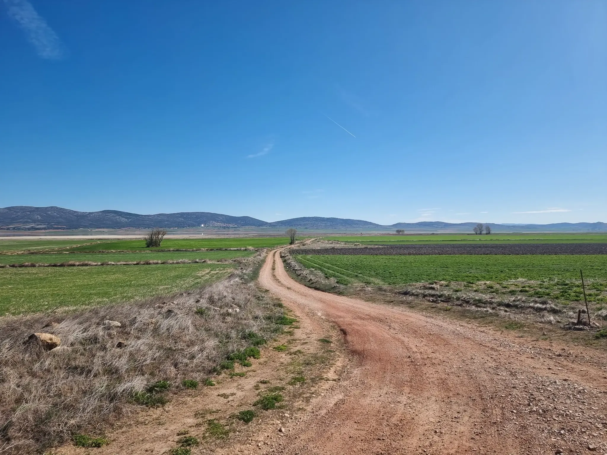
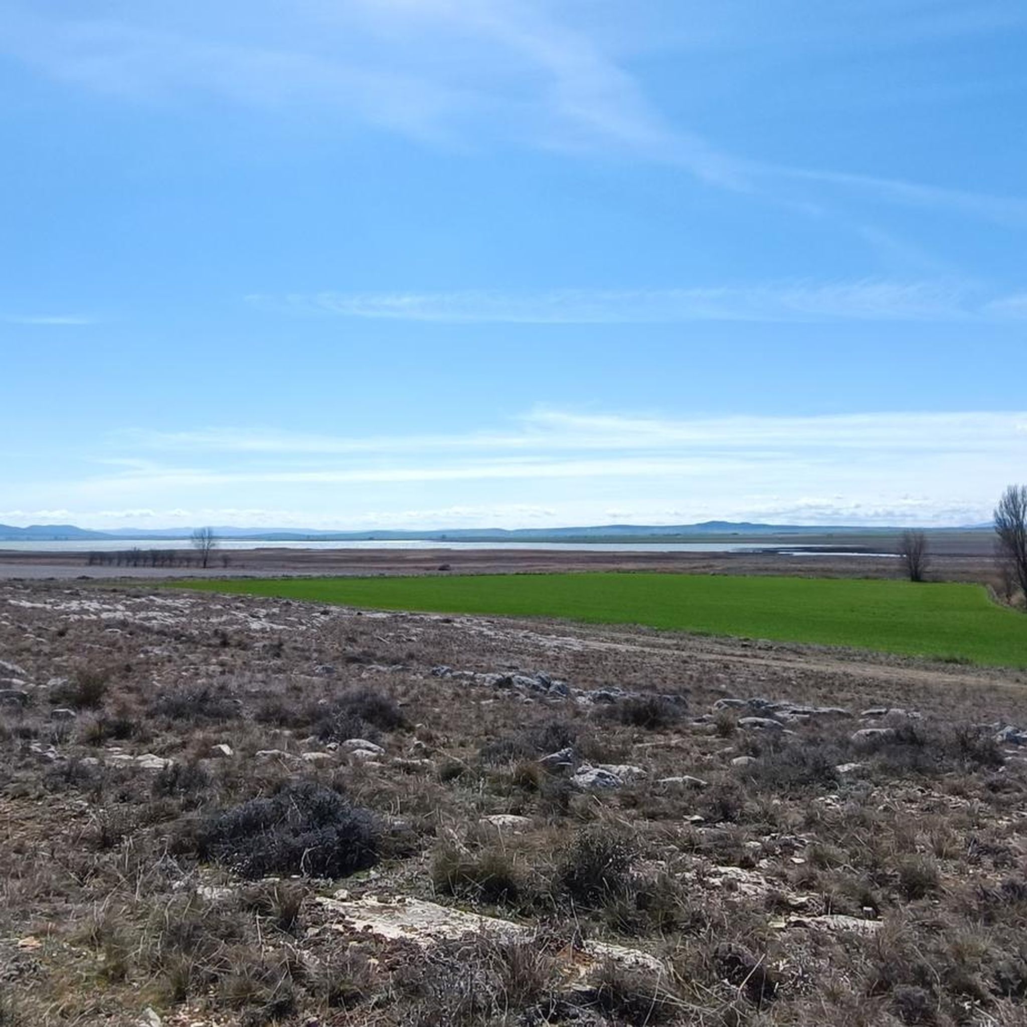
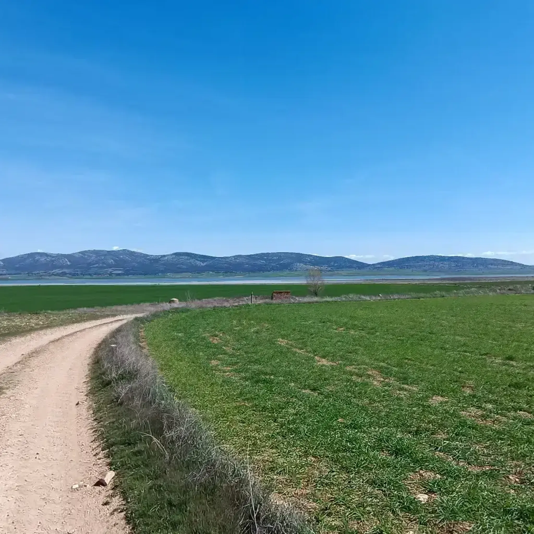
Gallocanta Lagoon, located between Zaragoza and Teruel, is the largest natural lagoon on the Iberian Peninsula and a unique area due to its high salinity. Declared a nature reserve in 2006, it is one of the most important birdwatching spots in Spain, with more than 220 recorded species. Every autumn and spring, thousands of cranes stop here on their migrations, offering an unforgettable spectacle. The area is rich in trails and viewpoints, so it is recommended to bring binoculars and comfortable shoes to enjoy the wildlife and scenery at a leisurely pace.
2
0

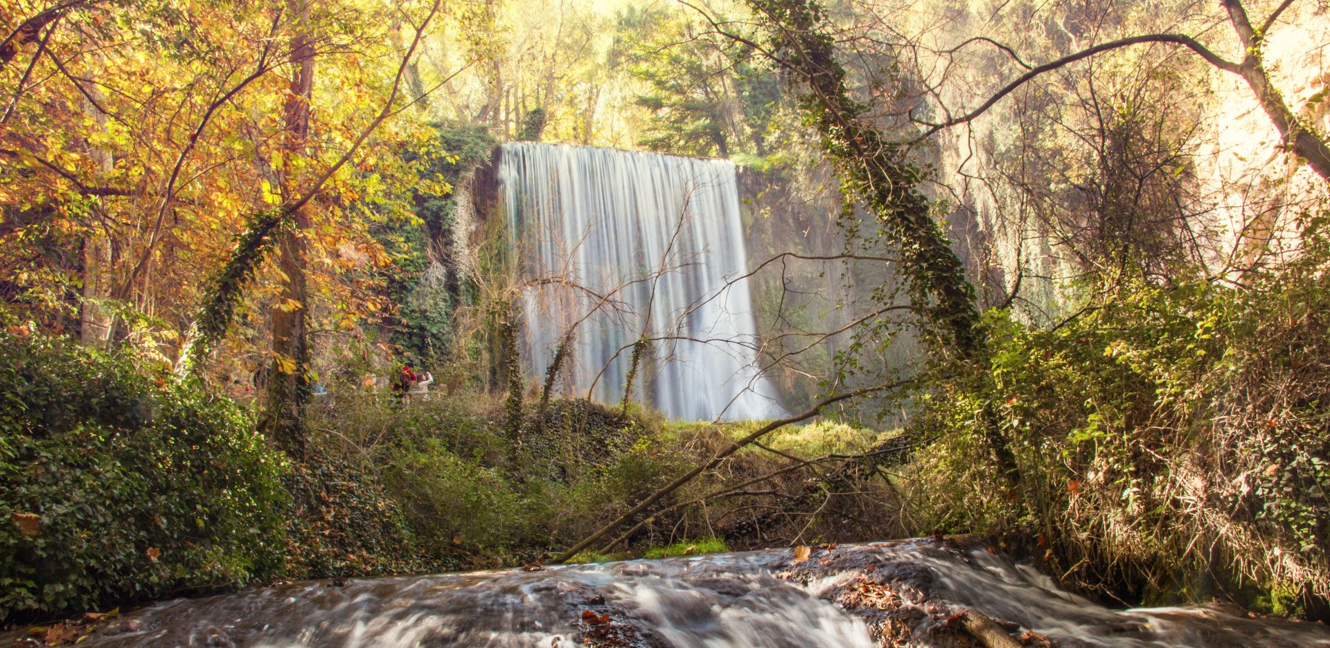
A must-see to listen to the flow of the Pancrudo River. And seeing the beauty of the Jiloca River banks in autumn is special.
0
1

A small paradise between the Jarama and Alcarria rivers, where migratory birds pass through on their long journey. It has a picnic area at the Hermitage of the Virgin and several bird-watching spots.
0
0

Images are there for a reason...take a photo and find out what they mean to you
0
0

The Berrueco castle is of Muslim origin. From the top of the hill where it is located you have an impressive view of the Gallocanta lagoon and the surroundings of Berrueco.
1
0


Stroll around and take the walk to the Aguallueve pond spring
0
0
Frequently Asked Questions
What kind of terrain can I expect on road cycling routes around Bello?
Road cycling routes around Bello offer varied terrain, from a tilted plain within the urban area (1400 to 1600 meters above sea level) to surrounding peaks like Cerro Quitasol, which rises to 2,880 meters. You'll find routes with mostly well-paved surfaces suitable for shorter rides, as well as more challenging options with significant elevation gains and potentially unpaved segments.
How many road cycling routes are available in Bello?
There are 7 road cycling routes available around Bello, catering to various skill levels. This includes 2 easy routes, 4 moderate routes, and 1 difficult route, ensuring options for different fitness levels.
Are there any easy road cycling routes suitable for beginners or relaxed rides?
Yes, Bello offers easy road cycling routes. For a relaxed ride with minimal elevation changes, consider the Lacuna de Gallocanta - circular by the Lacuna de Gallocanta Natural Reserve, which is 22.9 miles (36.8 km) long. Another easy option is the Guided Tour of the Gallocanta Lagoon Natural Reserve - circular from Bello, covering 22.8 miles (36.7 km).
What are some challenging road cycling routes for experienced riders?
For experienced riders seeking a challenge, Bello offers routes with significant climbs. The Daroca – Calamocha loop from Tornos is a moderate route spanning 72.3 km with an elevation gain of nearly 700 meters. Another demanding option is the Las Tres Taifas Trail, a 90.1 km route with over 560 meters of ascent.
What natural features or landmarks can I see while cycling around Bello?
Bello is known for its majestic mountains of the Aburrá Valley and ample green spaces. Cyclists can enjoy views of prominent natural landmarks like Cerro Quitasol. Some routes also pass by significant natural reserves. You might also encounter highlights such as the Gallocanta Lagoon.
Are there any circular road cycling routes in Bello?
Yes, many road cycling routes around Bello are circular, offering convenient starting and ending points. Examples include the popular Jiloca River Bank to Torralba de Sisones & Bello - circular from Calamocha, the Lacuna de Gallocanta - circular by the Lacuna de Gallocanta Natural Reserve, and the Guided Tour of the Gallocanta Lagoon Natural Reserve - circular from Bello.
What do other road cyclists say about the routes in Bello?
The road cycling routes in Bello are highly rated by the komoot community, with an average score of 3.0 stars. Over 40 road cyclists have used komoot to explore the varied terrain, appreciating the diverse options from easy rides to more challenging routes with significant climbs.
What is the best time of year for road cycling in Bello?
Bello experiences a warm climate influenced by gentle winds throughout the year, making it suitable for road cycling in most seasons. The consistent climate means you can generally plan your cycling trips without extreme weather concerns.
Are there any historical or cultural points of interest near the cycling routes?
While cycling, you might find points of interest such as the Hermitage of Our Lady of Good Agreement or the La Yunta Village and Watchtower, offering glimpses into the region's heritage.
What are the typical elevation gains on road cycling routes in Bello?
Elevation gains vary significantly across routes in Bello. Easy routes like the Lacuna de Gallocanta circular have minimal changes, around 150-160 meters. Moderate routes, such as the Jiloca River Bank to Torralba de Sisones & Bello - circular from Calamocha, feature over 300 meters of ascent, while more challenging options can exceed 500-700 meters of elevation gain.
Are there any viewpoints along the road cycling routes in Bello?
Yes, given Bello's location within the Andes mountain range and its diverse topography, many routes offer scenic viewpoints. The Reguera Observatory, for example, is a highlight that provides excellent panoramic views, particularly over the Gallocanta Lagoon area.
Most popular routes around Bello
Most popular attractions around Bello

Get inspired with the komoot mobile app


Explore more
Browse the best Road cycling routes in other regions.
