The best walks and hikes around Casarabonela
4.5
(1851)
17,449
hikers
19
hikes
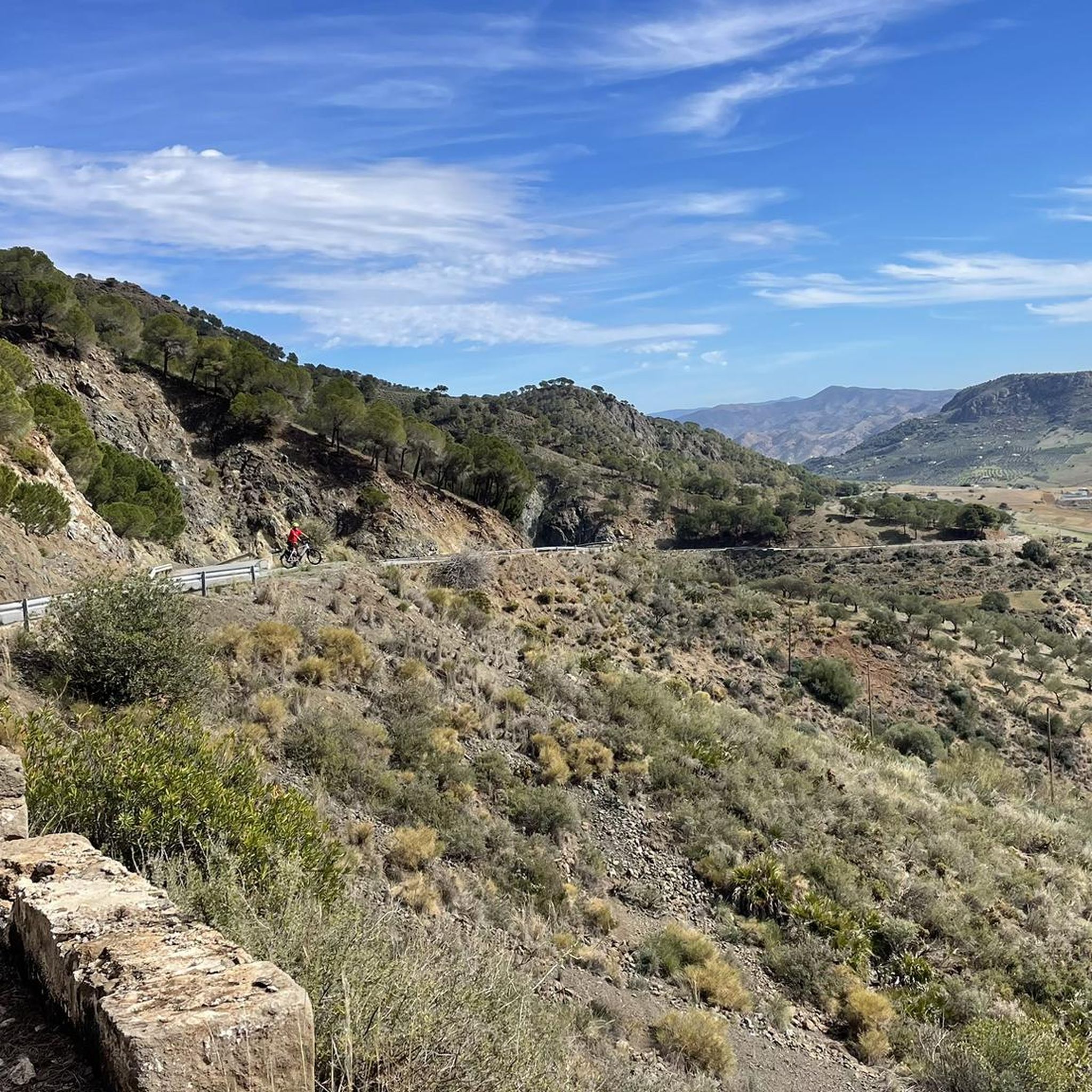
Hiking around Casarabonela offers access to diverse landscapes within the Sierra de las Nieves Natural Park, a UNESCO Biosphere Reserve. The region is characterized by rugged mountainous terrain, including the foothills of Sierra Prieta, and panoramic views of the fertile Guadalhorce Valley. Surrounding hills feature extensive olive groves, almond, and citrus fruit trees, with natural springs like Llano de Cristobal and Fuente de Los Hornaos providing points of interest along trails.
Best hiking trails around Casarabonela
- The most popular hiking route is Sierra Prieta – circular from Casarabonela via the Camino de la Dehesa and Senda de la Jácara (PR-A 270), a 8.9 miles (14.3 km) trail that takes 5 hours 36 minutes to complete. This difficult route ascends through mountainous terrain and ancient paths.
- Another top favourite among local hikers is Cave Trail – Dehesa Trail loop from Casarabonela, a moderate 5.2 miles (8.4 km) path. This loop explores natural features and rural landscapes around the village.
- Local hikers also love the Pico Alcaparaín (El Grajo) loop from Puerto Martínez, a 5.1 miles (8.2 km) trail leading through varied terrain, often completed in about 3 hours 1 minute.
- Hiking around Casarabonela is defined by mountainous ascents, olive groves, and natural springs. The network offers options for different ability levels, from moderate loops to more challenging climbs.
- The routes in Casarabonela are highly rated by the komoot community with an average score of 4.5 stars from over 1600 reviews. More than 15000 hikers have used komoot to explore Casarabonela's varied terrain.
Last updated: July 13, 2026
5.0
(4)
34
hikers
Hard hike. Very good fitness required. Sure-footedness, sturdy shoes and alpine experience required.
4.9
(9)
32
hikers
8.49km
03:10
550m
550m
Moderate hike. Good fitness required. Easily-accessible paths. Suitable for all skill levels.

Sign up for free
5.0
(9)
50
hikers
8.04km
03:03
550m
550m
Moderate hike. Good fitness required. Easily-accessible paths. Suitable for all skill levels.
4.3
(4)
20
hikers
11.7km
03:51
550m
550m
Moderate hike. Good fitness required. Easily-accessible paths. Suitable for all skill levels.
3.8
(5)
22
hikers
8.74km
03:14
550m
550m
Moderate hike. Good fitness required. Easily-accessible paths. Suitable for all skill levels.
Get access to more routes and recommendations from other explorers.
Sign up for free
Already have an account?
Our route recommendations are based on thousands of hikes, rides, and runs completed by other people on komoot.
Start today with a free account
Your next adventure awaits.
Login or Signup

Tips from the Community

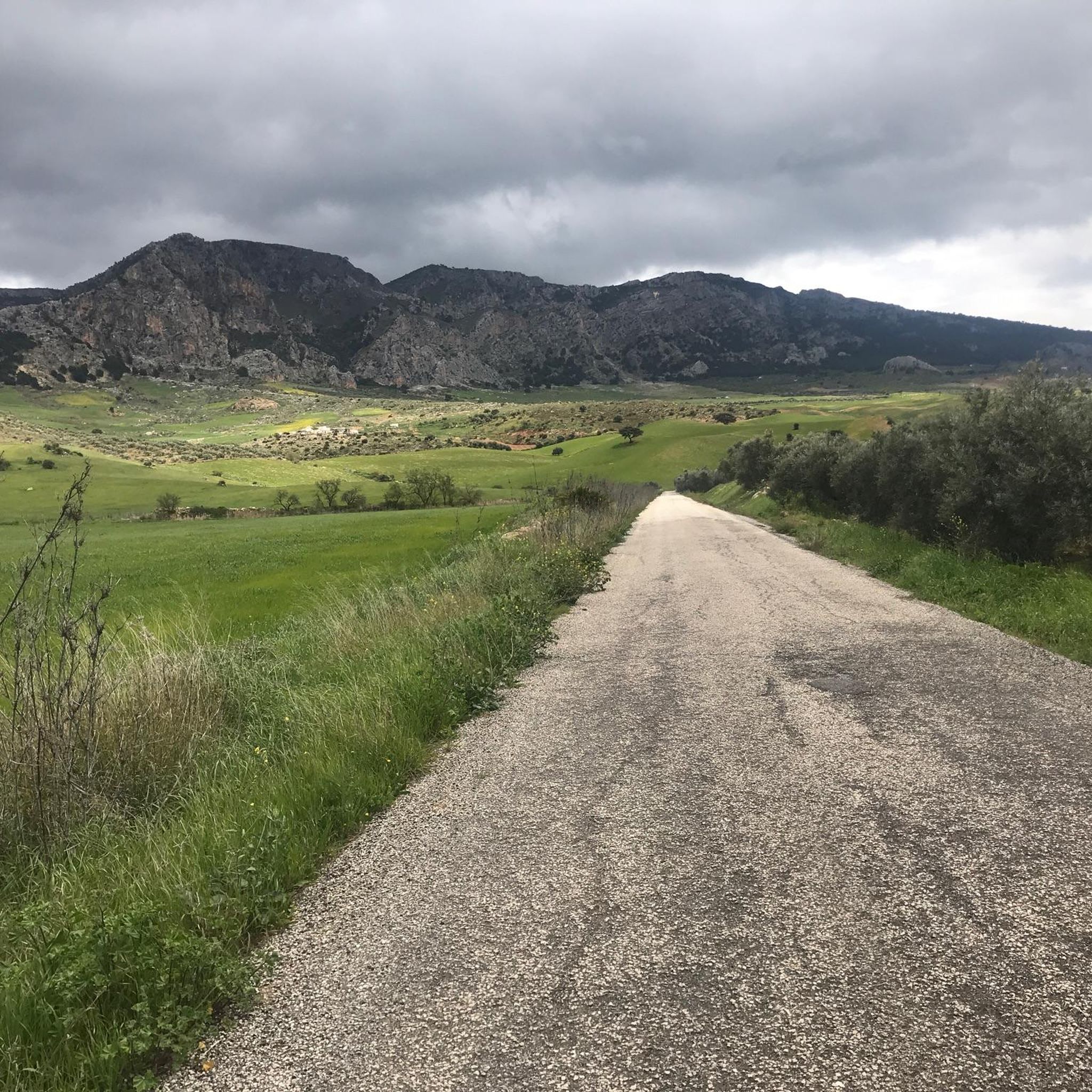
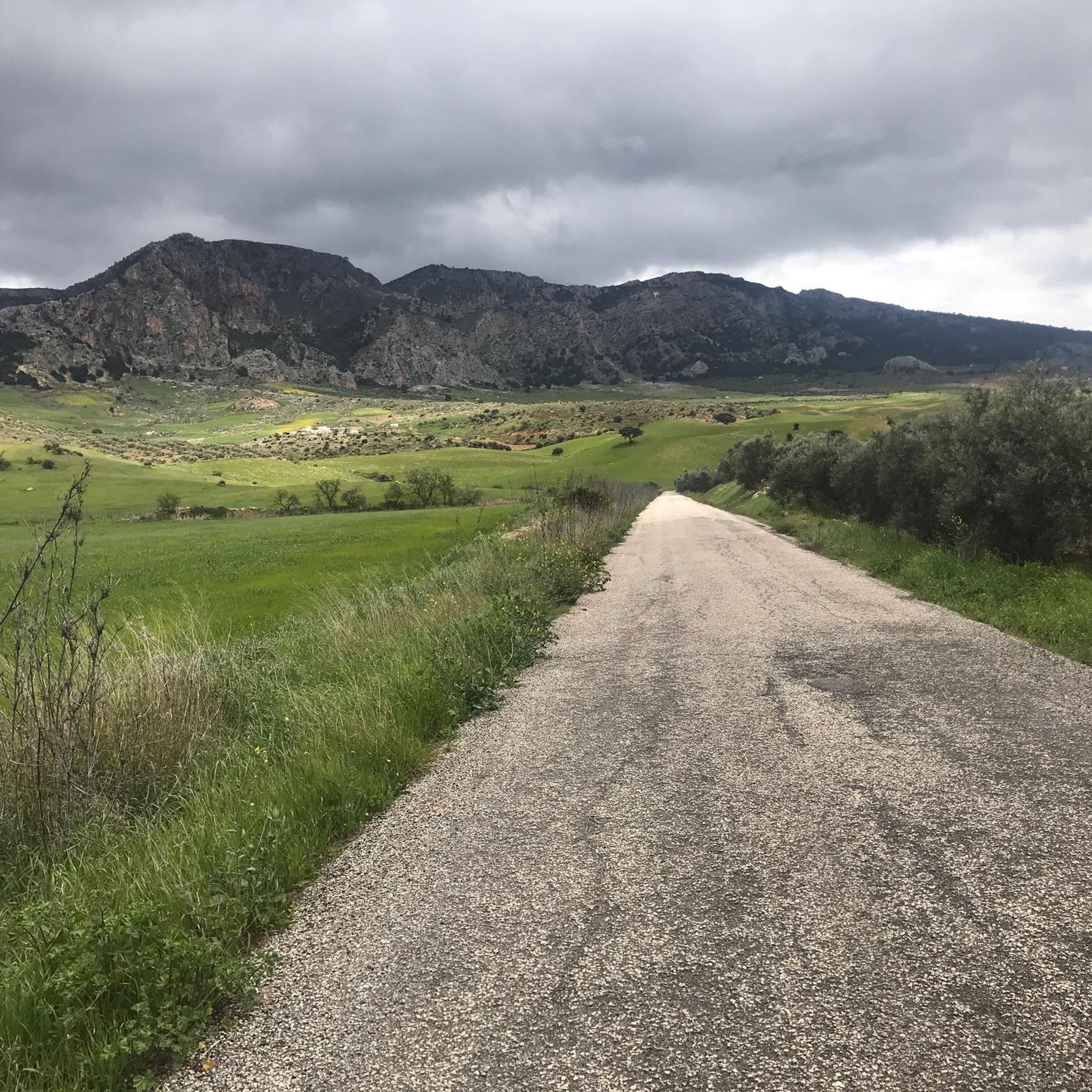
Route that goes south of the road between Alozaina and Casarabonela. It is highly recommended to do it in spring after the rains as it has wonderful flower landscapes.
0
0

Nowadays water is rarely seen in the Fuente Madrid. This spring used to supply the farms of the surrounding mountains and fields.
1
0
From the Mirador Madrid you have a great view of the Sierra de Alpacaraín. On the other side you can see the Sierra de las Nieves.
2
0

Following this picturesque path you can get from Casarabonela to Llano Cristóbal, enjoying a wonderful landscape setting.
0
0
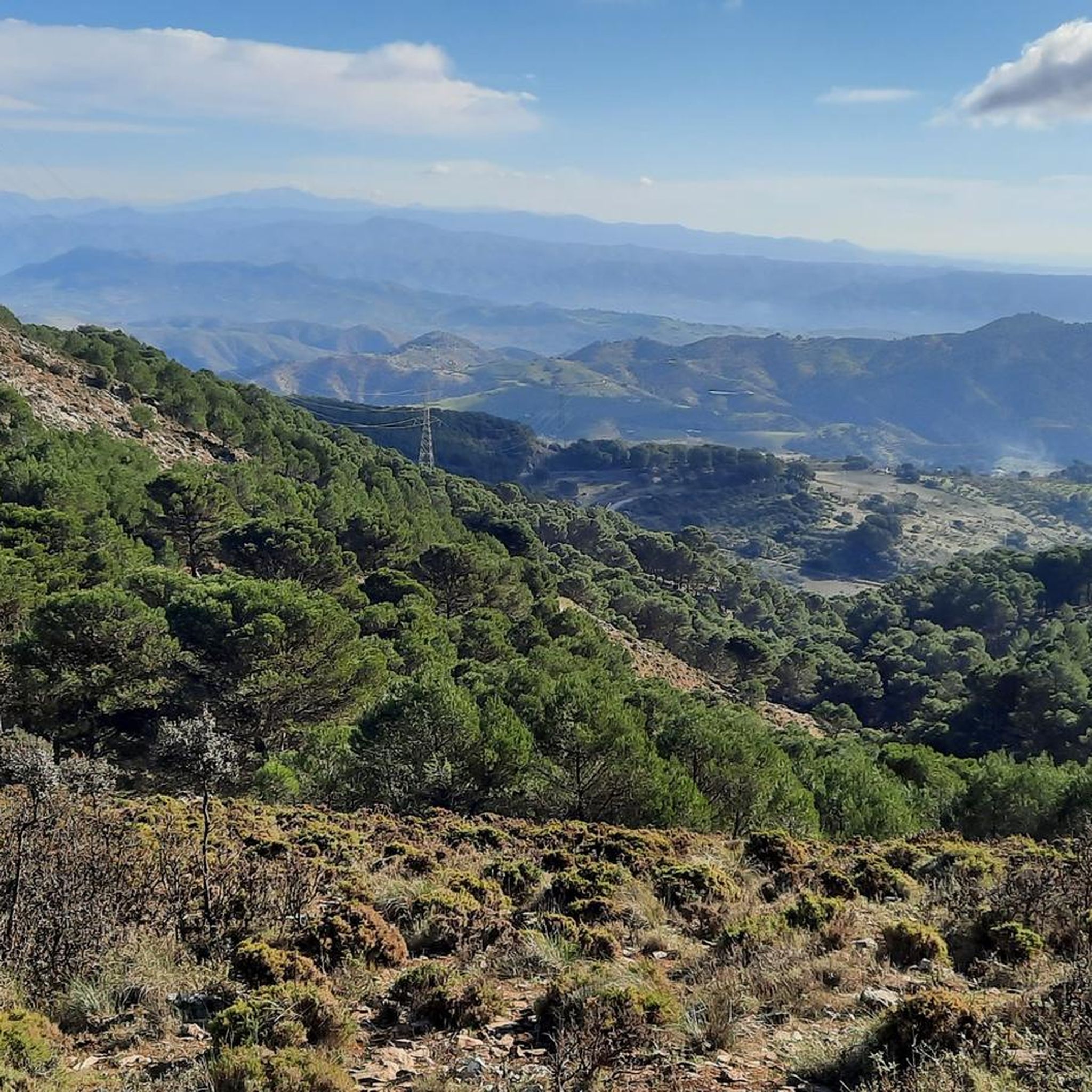
The top of the Sierra Prieta at 1518 meters above sea level offers wonderful panoramic views. It can be reached from Casarabonela or Alzoina by various paths, although I recommend you follow the signposts.
1
0
A very picturesque alternative path to get from Llano Cristóbal to Sierra Prieta.
1
0

This town located on the slopes of the Sierra Prieta has several viewpoints from which to observe the Guadalhorce valley and the Costa del Sol. It also has an impressive collection of cacti.
2
0
Frequently Asked Questions
How many hiking trails are available around Casarabonela?
There are over 18 hiking trails around Casarabonela, offering a range of experiences from easy walks to challenging mountain ascents within the Sierra de las Nieves Natural Park.
Are there easy or beginner-friendly hiking options in Casarabonela?
Yes, Casarabonela offers several easy hiking trails. You can find at least 3 routes suitable for beginners. These often explore the picturesque olive groves and rural landscapes surrounding the village.
What kind of natural features can I expect to see on hikes near Casarabonela?
Hikes around Casarabonela feature diverse landscapes, including rugged mountainous terrain, extensive olive groves, almond, and citrus fruit trees. You'll also encounter natural springs like Llano de Cristobal and Fuente de Los Hornaos, and enjoy panoramic views of the Guadalhorce Valley.
Are there any circular hiking routes available from Casarabonela?
Yes, there are several circular routes. A popular choice is the Sierra Prieta – circular from Casarabonela via the Camino de la Dehesa and Senda de la Jácara (PR-A 270), which is a challenging 14.3 km trail. Another moderate option is the Cave Trail – Dehesa Trail loop from Casarabonela, covering 8.4 km.
What are some notable landmarks or attractions to visit while hiking in the area?
Beyond the natural beauty, you can explore historical sites like the Arab Castle, which offers superb panoramic views. The region also features several caves such as La Hoguera and La Cueva, and unique attractions like the Mora I Bravard Cactus Botanical Garden. For more on caves, see the Caves around Casarabonela guide, and for castles, the Castles around Casarabonela guide.
What is the best time of year to go hiking in Casarabonela?
The spring and autumn months are generally ideal for hiking in Casarabonela. The weather is milder, and the landscapes are vibrant. Summers can be very hot, making early morning or late afternoon hikes preferable, while winters are typically mild but can have occasional rain.
Are there any challenging hikes for experienced trekkers?
Yes, for experienced hikers, the region offers demanding routes. The Sierra Prieta – circular from Casarabonela via the Camino de la Dehesa and Senda de la Jácara (PR-A 270) is a difficult 14.3 km trail with significant elevation gain, leading through mountainous terrain and ancient paths.
What do other hikers say about the trails in Casarabonela?
The trails in Casarabonela are highly rated by the komoot community, with an average score of 4.5 stars from over 1600 reviews. Hikers often praise the stunning panoramic views, the diverse landscapes, and the well-maintained paths that lead through olive groves and natural springs.
Is it possible to reach hiking trailheads by public transport in Casarabonela?
While Casarabonela itself is accessible by public transport, many specific trailheads are located outside the village center and may require a short drive or a longer walk to reach. It's advisable to check local bus schedules and trailhead access points in advance.
Are there any hikes that offer views of the Sierra de las Nieves Natural Park?
Absolutely. Casarabonela is nestled within the Sierra de las Nieves Natural Park, so many trails offer spectacular views of this UNESCO Biosphere Reserve. The Cave Trail – Mirador Llano Cristóbal loop from Casarabonela, for instance, provides impressive vistas of the park's diverse landscapes.
Are there any specific trails that pass by natural springs or water features?
Yes, the region is known for its natural springs. The Camino de la Dehesa – Fuente de Los Hornaos (PR-A 270) is a circular route that specifically highlights the Fuente de Los Hornaos spring. The Llano de Cristobal Spring Path also offers impressive views and access to natural water sources.
Where can I park when hiking in Casarabonela?
Casarabonela has a main car park in the village, which serves as a convenient starting point for several trails, including the Camino de la Dehesa – Fuente de Los Hornaos. For other trailheads further afield, roadside parking or smaller designated areas might be available, but it's best to check specific route details.
Most popular routes around Casarabonela
Most popular attractions around Casarabonela

Get inspired with the komoot mobile app


Explore more
Browse the best Hikes in other regions.
