The best walks and hikes around Badolatosa
4.1
(12)
49
hikers
12
hikes
Hiking around Badolatosa offers exploration of the Genil Valley, characterized by its riverine landscapes and two protected natural areas: the Malpasillo and Cordobilla reservoirs. The region features diverse terrain, including valleys, meanders of the Genil River, and torrents. These natural features provide varied habitats and scenic views for outdoor activities.
Best hiking trails around Badolatosa
- The most popular hiking route is Near the Genil River and Fuensanta Chapel — round trip from Badolatosa, a 4.6 miles (7.3 km) trail…
Last updated: May 18, 2026
3.7
(3)
6
hikers
7.33km
02:01
120m
120m
Moderate hike. Good fitness required. Easily-accessible paths. Suitable for all skill levels.
Easy hike. Great for any fitness level. Easily-accessible paths. Suitable for all skill levels.

Sign up for free
15.2km
04:00
130m
130m
Moderate hike. Good fitness required. Easily-accessible paths. Suitable for all skill levels.
3.8
(6)
18
hikers
8.95km
02:31
180m
180m
Moderate hike. Good fitness required. Easily-accessible paths. Suitable for all skill levels.
4.7
(3)
12
hikers
9.15km
02:36
190m
190m
Moderate hike. Good fitness required. Easily-accessible paths. Suitable for all skill levels.
Get access to more routes and recommendations from other explorers.
Sign up for free
Already have an account?
Our route recommendations are based on thousands of hikes, rides, and runs completed by other people on komoot.
Start today with a free account
Your next adventure awaits.
Login or Signup
Tips from the Community

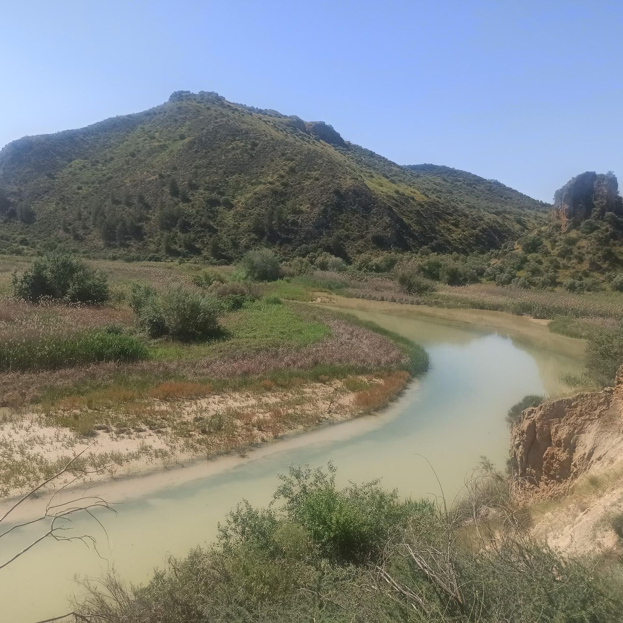
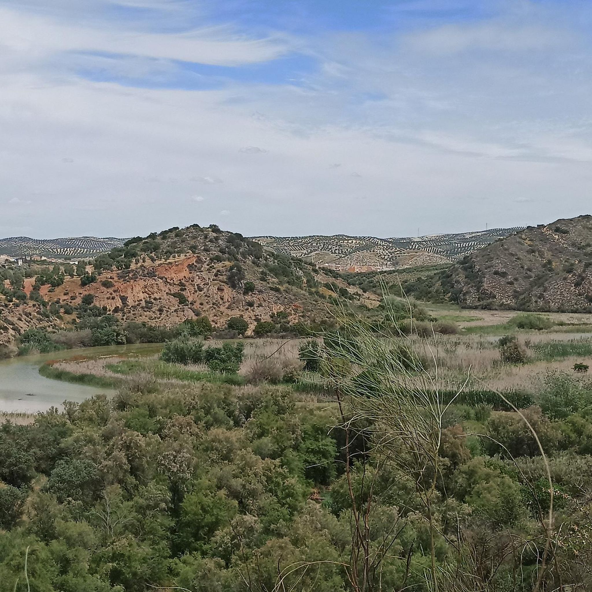
Beautiful valley through which the Río Genil runs and which offers a wide view of this area that is above the arrival of the reservoir.
0
0
Hermitage that still contains the style of a Mozarabic-style cave church in which the amplitude of its façade stands out, making it one of the few monuments of these characteristics in Andalusia.
0
0
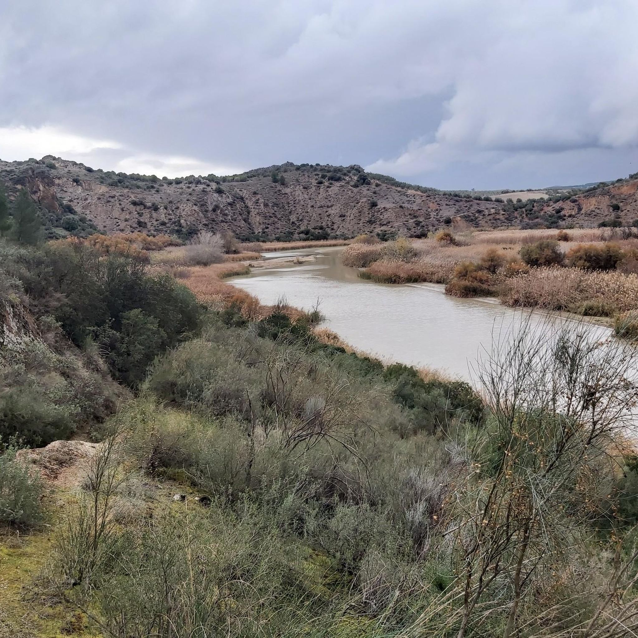
Beautiful views of the Malpasillo Reservoir and you can also see the continuity of the Río Genil!
0
0

Outdoor adventure route, passing through the Hermitage of Nuestra Señora de la Fuensanta and the ruins of old mines.
1
0
View of the Malpasillo Dam on the Genil River on the outskirts of the town of Badolatosa. The slowing of the river creates a unique natural landscape and a habitat for wildlife. A great outdoor space for adventure.
1
0

From this point we can see the dam on the Genil river and the town of Badolatosa on our left. Going down the dirt road we will arrive at the famous meander of the Genil river (it is a 15-minute walk).
2
0
It is located on the outskirts of the municipality and was built between 1544 and 1620. It is a Mozarabic-style cave church in which the breadth of its façade stands out, making it one of the few monuments of these characteristics in Andalusia. .
1
0
One of the last meanders of the Genil river before reaching the Malpasillo Reservoir, close to the town of Badolatosa. Space to be there for a while, quietly and enjoying this beautiful landscape!
1
0
Frequently Asked Questions
How many hiking trails are available in Badolatosa, and what are their difficulty levels?
Badolatosa offers a diverse selection of over 10 hiking trails. These routes cater to various fitness levels, with 6 easy trails perfect for a relaxed stroll and 6 moderate trails for those seeking a bit more challenge. There are no difficult trails listed, making the area accessible for most hikers.
What natural features can I expect to see while hiking in Badolatosa?
The hiking trails in Badolatosa are defined by the stunning Genil River, its picturesque meanders, and the significant Genil River Meander itself. You'll also encounter the protected Malpasillo and Cordobilla reservoirs, which are vital habitats for migratory birds. The landscape includes beautiful valleys and torrents, such as the Arroyo del Pontón, which has carved out interesting rock formations.
Are there any circular hiking routes in Badolatosa?
Yes, Badolatosa features several excellent circular routes. A popular choice is the Arroyo del Pontón – Genil River Meander loop from Badolatosa, which explores the river's unique meanders. Another great option is the Genil River Meander – Arroyo del Pontón loop from Corcoya, offering similar riverine landscapes.
What historical landmarks or points of interest can I discover on the trails?
Beyond natural beauty, you can explore historical sites. The route Near the Genil River and Fuensanta Chapel — round trip from Badolatosa passes by the historic Hermitage of Our Lady of Fuensanta. Additionally, the region is known for the 'Ruta del Tempranillo,' where you can explore caves reportedly used by the 19th-century outlaw José María 'El Tempranillo'.
Are the hiking trails in Badolatosa suitable for families with children?
Yes, Badolatosa offers several family-friendly hiking options. With 6 easy trails available, many routes are suitable for children and those looking for a gentle walk. The varied landscapes, including river meanders and reservoirs, provide engaging scenery for all ages.
Can I bring my dog on the hiking trails in Badolatosa?
Generally, dogs are welcome on most hiking trails in Badolatosa, especially given the natural and open character of the Genil Valley. However, it's always recommended to keep your dog on a leash, especially near wildlife habitats like the Malpasillo and Cordobilla reservoirs, and to follow local regulations regarding pet access.
What do other hikers enjoy most about hiking in Badolatosa?
The hiking experience in Badolatosa is highly rated by the komoot community, with an average score of 4.1 stars from over 10 reviews. Hikers often praise the serene riverine landscapes, the unique meanders of the Genil River, and the opportunities for birdwatching around the reservoirs.
Are there good viewpoints along the hiking routes in Badolatosa?
Yes, the region offers several scenic viewpoints. The Meandro Viewpoint provides stunning panoramic views of the Genil Valley. You can also find excellent perspectives of the Malpasillo Dam and Genil River, offering expansive vistas of the water and surrounding natural areas.
What is the best time of year to go hiking in Badolatosa?
Badolatosa is enjoyable for hiking throughout much of the year. Spring and autumn offer pleasant temperatures and vibrant natural colors, making them ideal. Winter can also be a good time for hiking, with cooler weather and fewer crowds. Summers can be hot, so early morning or late afternoon hikes are recommended during this season.
Are there opportunities for wildlife spotting while hiking?
Absolutely. The Malpasillo and Cordobilla reservoirs are protected natural areas and serve as crucial stopovers for numerous migratory birds, making them excellent spots for birdwatching. The riverine landscapes and abundant vegetation also provide refuge for various animals, offering good chances for wildlife observation.
Where can I find parking for hiking trailheads in Badolatosa?
While specific parking areas for each trailhead are not detailed, Badolatosa is a small town, and parking is generally available within or on the outskirts of the village, often near the start points of popular routes. It's advisable to check local signage upon arrival for the most convenient parking options.
Are there any trails that connect to longer routes or greenways?
Yes, the region connects to broader networks. You can find sections of the Subbética Greenway nearby, including the Jauja – Subbética Greenway Natural Trail. These offer opportunities to extend your hike or explore longer, multi-purpose paths.
Most popular routes around Badolatosa
Most popular attractions around Badolatosa

Get inspired with the komoot mobile app


Explore more
Browse the best Hikes in other regions.
