The best cycling routes around Jarandilla De La Vera
4.8
(13)
266
riders
48
rides
Touring cycling around Jarandilla De La Vera features routes characterized by significant elevation changes and varied terrain. The region is situated in an area with numerous hills and valleys, providing a mix of challenging ascents and scenic descents. Cyclists can explore areas with abundant chestnut and oak forests, with the Sierra de Gredos offering impressive views. The area's topography makes it suitable for cyclists seeking routes with notable climbs through rural landscapes.
Best touring cycling routes around Jarandilla De La…
Last updated: November 2, 2026
10
riders
57.5km
04:00
1,050m
1,050m
Hard bike ride. Very good fitness required. Mostly paved surfaces.
5.0
(1)
10
riders
30.0km
02:40
480m
470m
Hard bike ride. Very good fitness required. Mostly paved surfaces.

4.0
(1)
11
riders
55.1km
03:54
1,000m
1,000m
Hard bike ride. Very good fitness required. Mostly paved surfaces.
9
riders
Hard bike ride. Very good fitness required. Mostly paved surfaces.
5.0
(1)
9
riders
Hard bike ride. Very good fitness required. Mostly paved surfaces.
Get access to more routes and recommendations from other explorers.
Already have an account?
Our route recommendations are based on thousands of hikes, rides, and runs completed by other people on komoot.
Start today with a free account
Your next adventure awaits.
Popular around Jarandilla De La Vera


Other adventures around Jarandilla De La Vera

Tips from the Community

Cuacos de Yuste is closely linked to the Monastery of San Jerónimo de Yuste, where Charles V spent his final days, making it one of Spain's most important historical sites. The monastery, a blend of Gothic and Renaissance architecture, is considered the jewel of the municipality and receives highly praise for its state of preservation and surroundings.
3
0
Cuacos de Yuste is a village with enormous historical value, rural charm and spectacular nature, ideal for those seeking tranquility, well-preserved heritage and contact with the legacy of Emperor Charles V.
3
0
What to see and do: Don Nuño Castle: 14th-century medieval remains; the keep was later incorporated into the church. Church of Our Lady of Fuente Claras: a blend of Romanesque, Gothic, Renaissance, and Moorish styles, with Churrigueresque altarpieces. Plaza de España and Plaza del Rollo (pillory): monumental squares with wooden arcades and granite columns; a Gothic pillory with animal motifs. La Vera architecture: houses with water channels, wood and adobe construction, flower-filled balconies, and canals in the streets. Jewish Quarter, "Rincón de las Cabezuelas," and historic canals. Nearby nature: hiking trails through gorges like Gualtaminos, natural pools, and swimming spots like "La Chorrera."
15
0
Valverde de la Vera is a municipality in the province of Cáceres, located in the La Vera region. This town, laid out in the shape of a cross, is organized around a main street with four key intersections: Plaza de España, Plaza de la Fuente de los Cuatro Caños (Square of the Fountain of the Four Spouts), Plaza de la Iglesia (Square of the Church), and Plaza del Rollo (Square of the Pillory). The streets retain their original cobblestones from centuries past, and the houses are very rustic.
16
0

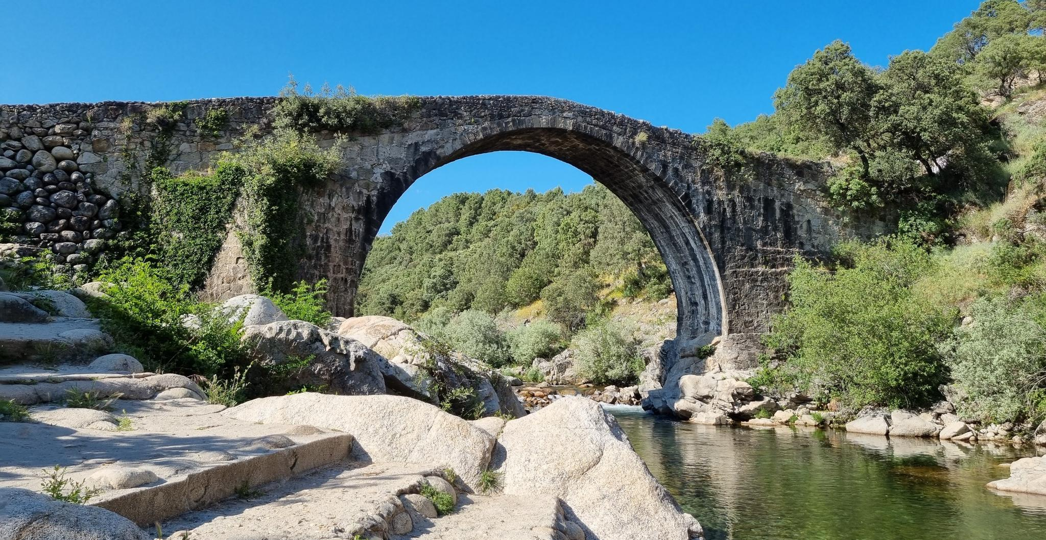
You'll probably have to get off the bike after crossing the gorge, but it's worth the trip.
0
0

Incredible town, full of history and magical corners
0
0
The largest town in the region, it has a variety of shops and accommodations.
1
0
They say that Charles V followed this path on his way to retirement in Yuste. Whether it's true or not, the trail and the surrounding area are worth enjoying.
1
0
Frequently Asked Questions
How many touring cycling routes are available in Jarandilla De La Vera?
There are over 35 touring cycling routes in Jarandilla De La Vera, offering a variety of experiences for cyclists. The region is known for its hilly terrain, providing both challenging ascents and scenic descents.
Are there any easy touring cycling routes for beginners in Jarandilla De La Vera?
While the region is characterized by significant elevation changes, there is one easy route and seven moderate routes available. For a moderate option that is well-regarded, consider the Cuacos de Yuste – Cuacos de Yuste loop from Aldeanueva de la Vera, which covers 15.7 miles (25.2 km) with an elevation gain of over 1,400 feet.
What are the typical distances and elevations for touring cycling routes in Jarandilla De La Vera?
Routes in Jarandilla De La Vera vary significantly. For example, the Cuacos de Yuste – Monastery of Yuste loop from Losar de la Vera is a difficult 36.1 miles (58.0 km) path with over 3,400 feet of elevation gain. A shorter, but still challenging, option is the Guijo de Santa Bárbara – Jarandilla de la Vera loop from Jarandilla de la Vera, which is 19.2 miles (30.8 km) with over 2,400 feet of climbing.
Are there any circular touring cycling routes in the area?
Yes, many routes in Jarandilla De La Vera are designed as loops. A popular example is the Las Pilas de Collado – Cuacos de Yuste loop from Jarandilla de la Vera, a 31.4 miles (50.5 km) trail through hilly terrain, typically completed in about 4 hours 40 minutes.
What kind of landscapes can I expect to see on a touring bike ride in Jarandilla De La Vera?
You can expect varied rural landscapes, often featuring views of the surrounding natural environment, including hills, valleys, and traditional villages. Routes like the Valverde de la Vera – Villanueva de la Vera loop from Jarandilla de la Vera offer a great way to experience the region's diverse scenery.
Are there any notable natural attractions or viewpoints along the touring cycling routes?
Yes, the region is rich in natural beauty. You can find stunning waterfalls and gorges. Highlights include Charco del Trabuquete, Chorrero de la Virgen Viewpoint, and the Los Pilones Natural Pools. Many routes pass near these points of interest, offering opportunities to stop and explore.
What is the best time of year for touring cycling in Jarandilla De La Vera?
The spring and autumn months generally offer the most pleasant conditions for touring cycling in Jarandilla De La Vera, with milder temperatures. Summers can be quite hot, especially in July and August, which might make longer rides more challenging due to the significant elevation changes.
Are there opportunities for wild swimming near the cycling routes?
Yes, the region is known for its natural pools and gorges, which are popular for wild swimming. The Los Pilones Natural Pools and various spots along the Main Gorge are excellent options for a refreshing dip after a ride.
What do other touring cyclists say about cycling in Jarandilla De La Vera?
The touring cycling routes in Jarandilla De La Vera are highly rated by the komoot community, with an average score of 4.8 stars from 9 reviews. Cyclists often praise the challenging ascents, scenic rural paths, and the varied terrain that caters to experienced riders.
Are there any cafes or places to stop for refreshments along the routes?
Many routes pass through or near small villages where you can find local cafes and restaurants to refuel. It's always a good idea to check the route details or local maps beforehand to plan your refreshment stops, especially on longer rides in more remote areas.
Is public transport available to access touring cycling routes in Jarandilla De La Vera?
Public transport options in this rural region may be limited, so planning your journey in advance is recommended. While some villages might have bus connections, bringing your own vehicle or arranging local transport is often the most flexible way to access the starting points of the touring cycling routes.
What should I pack for a touring cycling trip in Jarandilla De La Vera?
Given the significant elevation changes and varied terrain, it's advisable to pack appropriate cycling gear, including layers for changing weather, sufficient water, snacks, and basic repair tools. Sun protection is also crucial, especially during warmer months. For routes with potential wild swimming spots, consider bringing swimwear.
Most popular routes around Jarandilla De La Vera
Most popular attractions around Jarandilla De La Vera

Get inspired with the komoot mobile app


Explore more
Browse the best Cycling routes in other regions.
