Attractions and Places To See around Navacepedilla De Corneja - Top 19
Best attractions and places to see around Navacepedilla De Corneja include a variety of mountain passes, summits, and historical sites. This region connects several valleys, such as the Corneja Valley and the Alto Valle del Alberche, offering diverse landscapes. The area features high-altitude terrain with views of the Central System and is characterized by its natural solitude. There are 19 unique places to explore in Navacepedilla De Corneja.
Best attractions and places to see around Navacepedilla De Corneja
- The most…
Last updated: August 26, 2026
Peña Negra Pass
Highlight • Mountain Pass
Translated by Google •
Tip by

Chía Pass (1,663 m)
Highlight (Segment) • Mountain Pass
Translated by Google •
Tip by
Sign up now to discover places like this
Get recommendations on the best single tracks, peaks, & plenty of other exciting outdoor places.
Sign up for free
Puerto de la Cañada del Horno
Highlight • Mountain Pass
Translated by Google •
Tip by
Castle of Bonilla de la Sierra
Highlight • Castle
Translated by Google •
Tip by

Serrota
Highlight • Summit
Translated by Google •
Tip by
Sign up for free to discover even more attractions around Navacepedilla De Corneja.
Sign up for free
Already have an account?
Start today with a free account
Your next adventure awaits.
Login or Signup


Tips from the Community

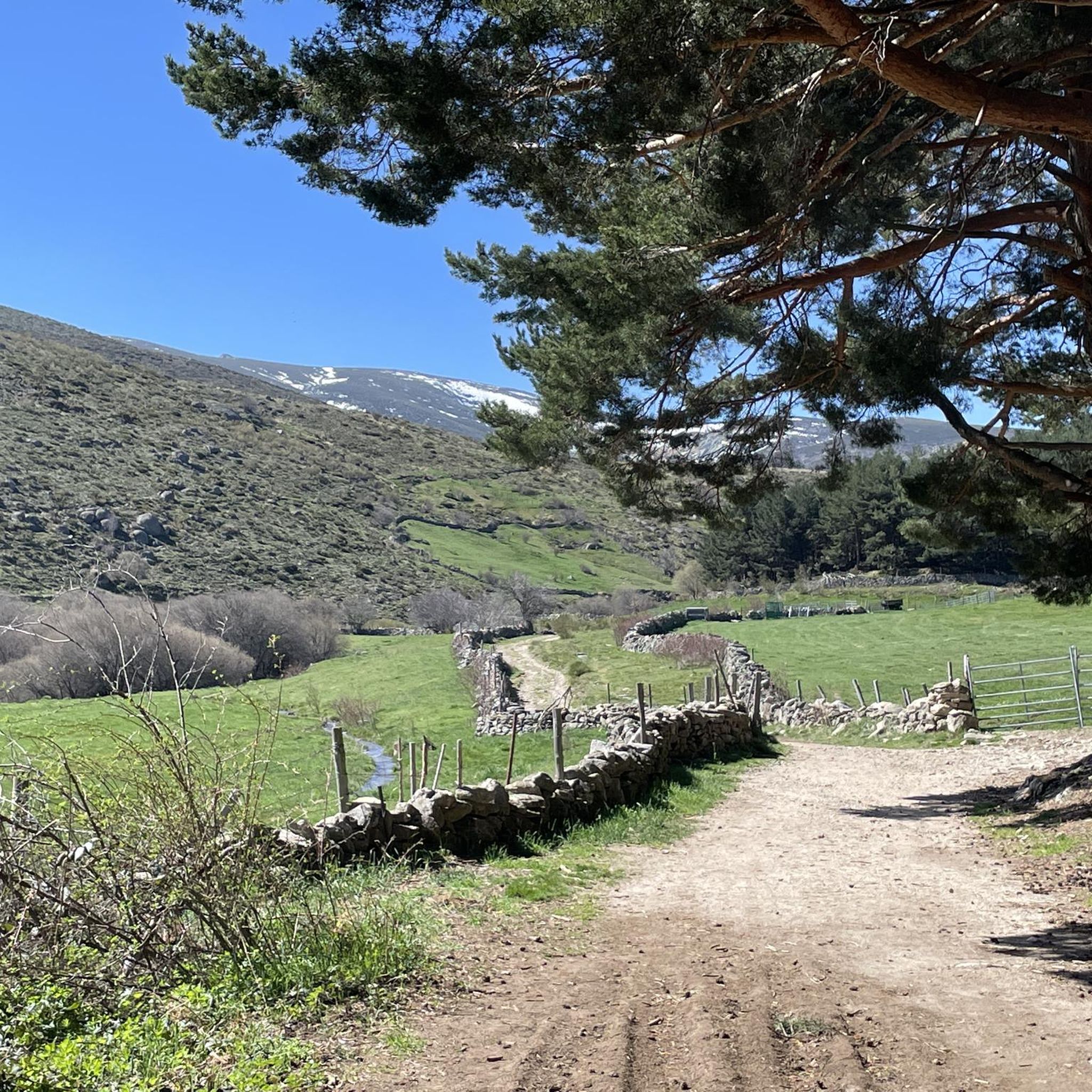
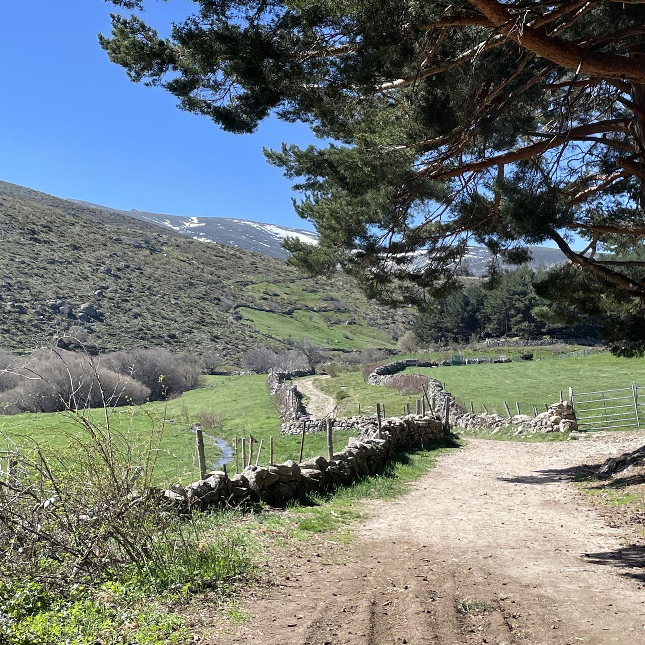
Beautiful views, on a good day you can see people taking off on paragliders.
0
0

Small tack between Navarreonda de Gredos and San Martín De la Vega del Alberche of just 4 km, being harder in the northern area than in the southern area. It is also known by the name of Alto de Barajas. Like all secondary roads in the Gredos area, the asphalt is irregular and rough, of acceptable width, without a shoulder and with very little traffic. Despite the little traffic, it is highly recommended to have your rear light because locals usually travel quickly and hardly expect to encounter cyclists. This small limit can be used on many routes in the northern area of Gredos.
0
0
This slope is gentler than the northern slope and much shorter, with just 4 km and 2 of them hard, with some considerable ramps in the pair of horseshoe curves that there are. The road is inhospitable and therefore with very little traffic. The asphalt is uneven and rough, which adds hardness to the climb. Most of the secondary roads in this area are like this, which gives it a lot of charm. The landscape in summer is dry land, very typical of the northern area of Gredos and the northern plateau in general. I climbed the pass one early morning in August and I really enjoyed the solitude and silence of nature.
0
0

A large port, 15 km long if we start from Piedrahita, and with a constant slope of 6% except for a couple of short sections that are less and some sections that reach 9%, but very punctual. The condition of the asphalt is good, it is one of the few ports in the area with a surface in good condition. Upstairs it has very good views and there are usually people doing paragliding (if the weather conditions allow it)
0
0

The Serrota is a mountain that reaches 2,292 meters in height, which means that you need to watch the time of its ascent, where the snow covers the area completely with low temperatures.
1
0

In the final stretch of the ascent, milestones appear in several places and the best option is to find the optimal path according to the moment, the mountain conditions and personal taste. The geodesic vertex is visible long before you arrive, it is placed on a tower of rocks and the views are extraordinary, practically covering the entire Central System, from the Sierra de Guadarrama to the peaks of Las Batuecas and the distant Sierra de Gata. Below the channels that form the sources of Corneja and Adaja and a little further on is the valley of the highest Alberche, when it is not yet a river in the páramos of San Martín de la Vega del Alberche.
0
0
It is 1,663 meters above sea level and connects the Corneja Valley (Valdecorneja) with the Alto Valle del Alberche through a local road that connects the towns of Navacepedilla de Corneja and San Martín de la Vega del Alberche. It separates the Sierra de Villafranca and the massif of La Serrota.
0
0
The port of Peña Negra, on its north face, starts from the town of Piedrahita, at the turnoff to Pesquera. Already in the same streets of Piedrahita the slopes stabilize around 5-6%, which will be the usual trend. Because Peña Negra, as can be seen in the altimetric profile, is a really regular port, except for a few short breaks in the second half.
0
0
Frequently Asked Questions
What kind of natural landscapes can I expect to see around Navacepedilla De Corneja?
The region around Navacepedilla De Corneja is characterized by its high-altitude terrain, connecting several valleys like the Corneja Valley and the Alto Valle del Alberche. You'll find numerous mountain passes, such as Peña Negra Pass and Chía Pass (1,663 m), and prominent summits like Serrota, offering diverse views of the Central System.
Are there any notable viewpoints in the area?
Yes, several attractions offer excellent views. Peña Negra Pass is known for its beautiful vistas, often with paragliding activity. Chía Pass (1,663 m) and Puerto de la Cañada del Horno also provide scenic overlooks. For panoramic views covering the entire Central System, the summit of Serrota is highly recommended.
Are there any historical monuments to visit?
Yes, you can visit Rollo de Muñotello, a significant man-made monument. This five-meter-high carved granite structure symbolizes the jurisdictional independence obtained by the town of Muñotello in 1733.
What hiking opportunities are available near Navacepedilla De Corneja?
The area offers a variety of hiking trails, from moderate to challenging. You can find routes like the 'Ascent to La Serrota — circular from Cepeda de la Mora' (difficult) or the 'Castle of Bonilla de la Sierra loop from Bonilla de la Sierra' (moderate). For a comprehensive list of trails, explore the Hiking around Navacepedilla De Corneja guide.
Are there cycling routes in the area?
Yes, the region is popular for cycling, especially for those who enjoy mountain passes. Routes include the 'Castle of Bonilla de la Sierra loop from Tórtoles' and the 'Peña del Cuervo – Puerto de Villatoro loop from Piedrahíta', both rated as difficult. You can find more options in the Cycling around Navacepedilla De Corneja guide.
Are there running trails around Navacepedilla De Corneja?
Yes, there are several running trails. Options range from easy loops, such as the 'Running loop from San Martín de la Vega del Alberche' (4 km), to more challenging ones like the 'Source of the Adaja River Trail' (14.2 km). Discover more trails in the Running Trails around Navacepedilla De Corneja guide.
Are there challenging trails for experienced outdoor enthusiasts?
Absolutely. The ascent to Serrota, reaching 2,292 meters, is a challenging climb, especially when snow covers the area. Cycling routes like the 'Peña del Cuervo – Puerto de Villatoro loop' are also rated difficult. The local roads on passes like Chía Pass (1,663 m) often have uneven asphalt, adding to the challenge for cyclists.
Are there family-friendly attractions in Navacepedilla De Corneja?
Yes, Rollo de Muñotello is considered a family-friendly historical site, offering an interesting glimpse into the town's past. The natural surroundings also provide opportunities for gentle walks and enjoying the scenery with family, though specific 'easy' routes should be checked in the hiking guides.
When is the best time of year to visit Navacepedilla De Corneja for outdoor activities?
For most outdoor activities, late spring, summer, and early autumn are ideal. During summer, the landscape can be dry, offering clear views. However, if you plan to ascend higher summits like Serrota, be aware that snow covers the area completely in colder months, requiring appropriate gear and timing.
What do visitors particularly enjoy about the attractions here?
Visitors appreciate the solitude and silence of nature, especially on less-trafficked routes like the one over Chía Pass (1,663 m). The consistent slopes and good asphalt conditions on passes like Peña Negra Pass are favored by cyclists, and the extraordinary panoramic views from summits like Serrota are a major highlight.
Are there any easy or moderate walking trails suitable for a relaxed outing?
Yes, while many routes offer challenges, you can find moderate options like the 'Castle of Bonilla de la Sierra loop from Bonilla de la Sierra' (15.7 km) for hiking, or an 'easy' 4 km running loop from San Martín de la Vega del Alberche. These provide a good balance for a relaxed yet active experience. Check the Hiking around Navacepedilla De Corneja guide for more details.
Most popular attractions around Navacepedilla De Corneja

Get inspired with the komoot mobile app


Explore more
Still not found the Highlight you’re looking for? See guides of the top attractions in other regions:
