The best walks and hikes around PP Vltavský luh
4.5
(1177)
6,166
hikers
300
hikes
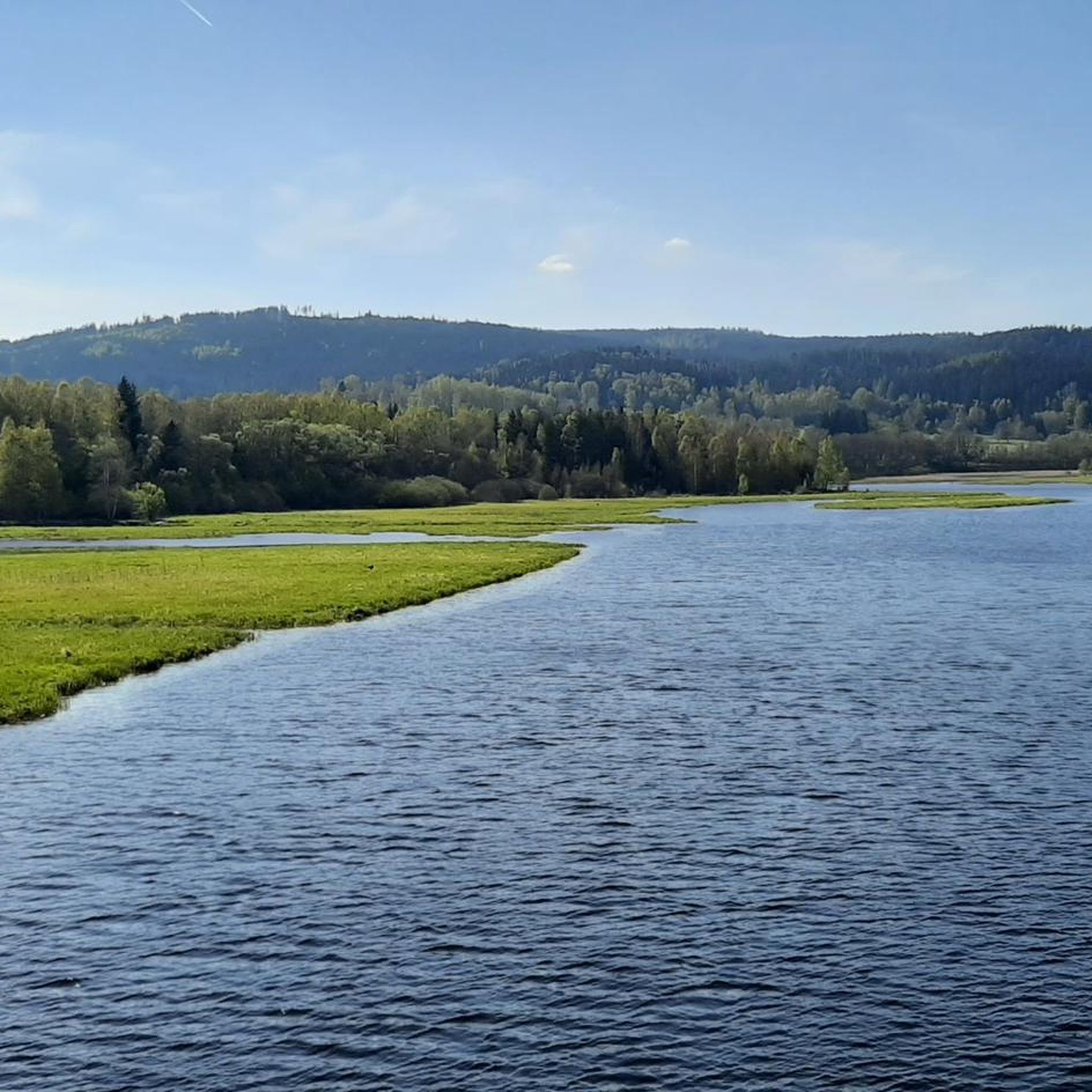
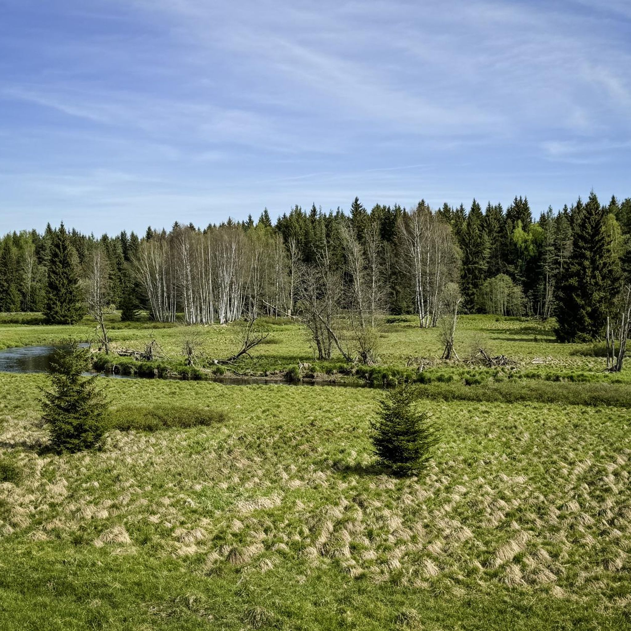
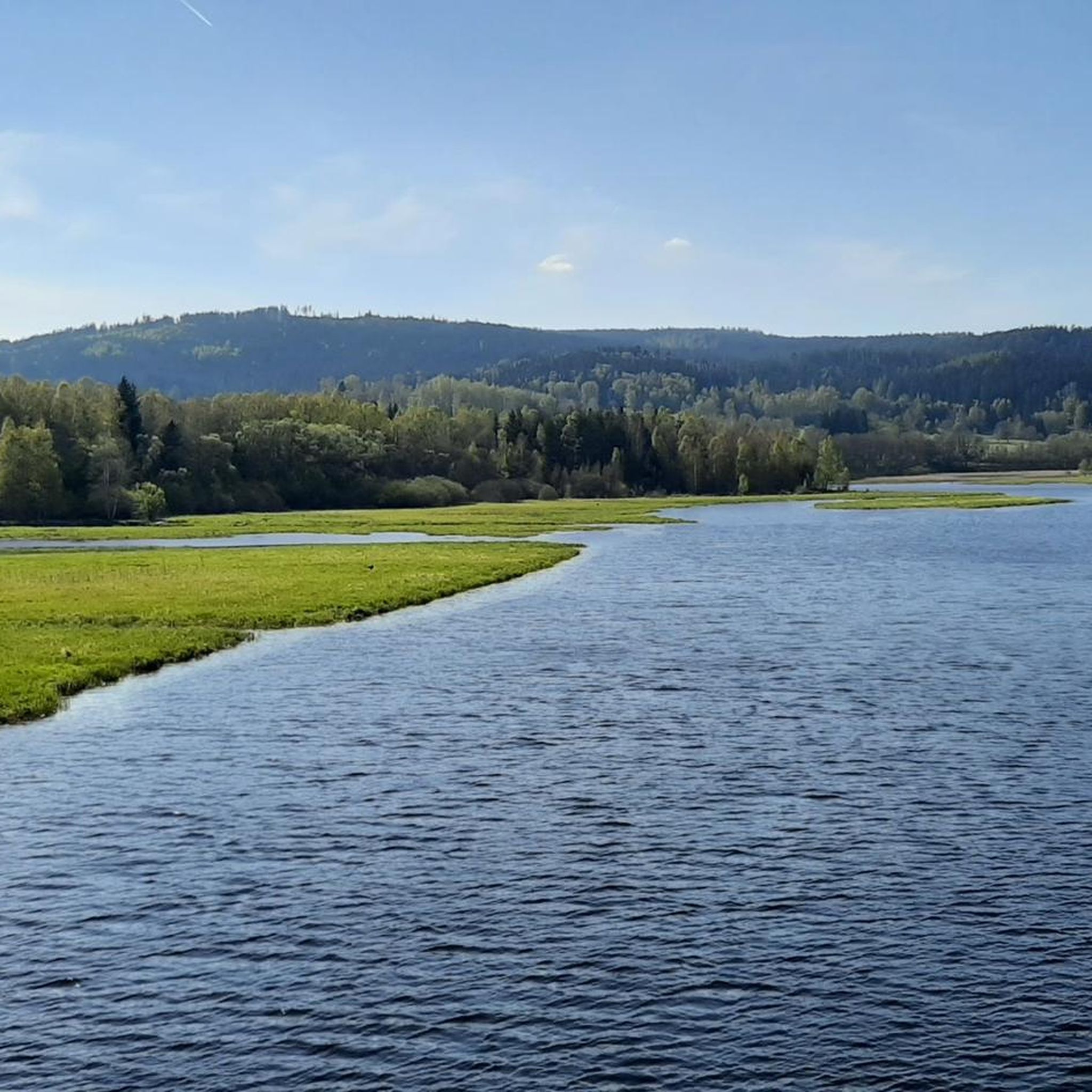
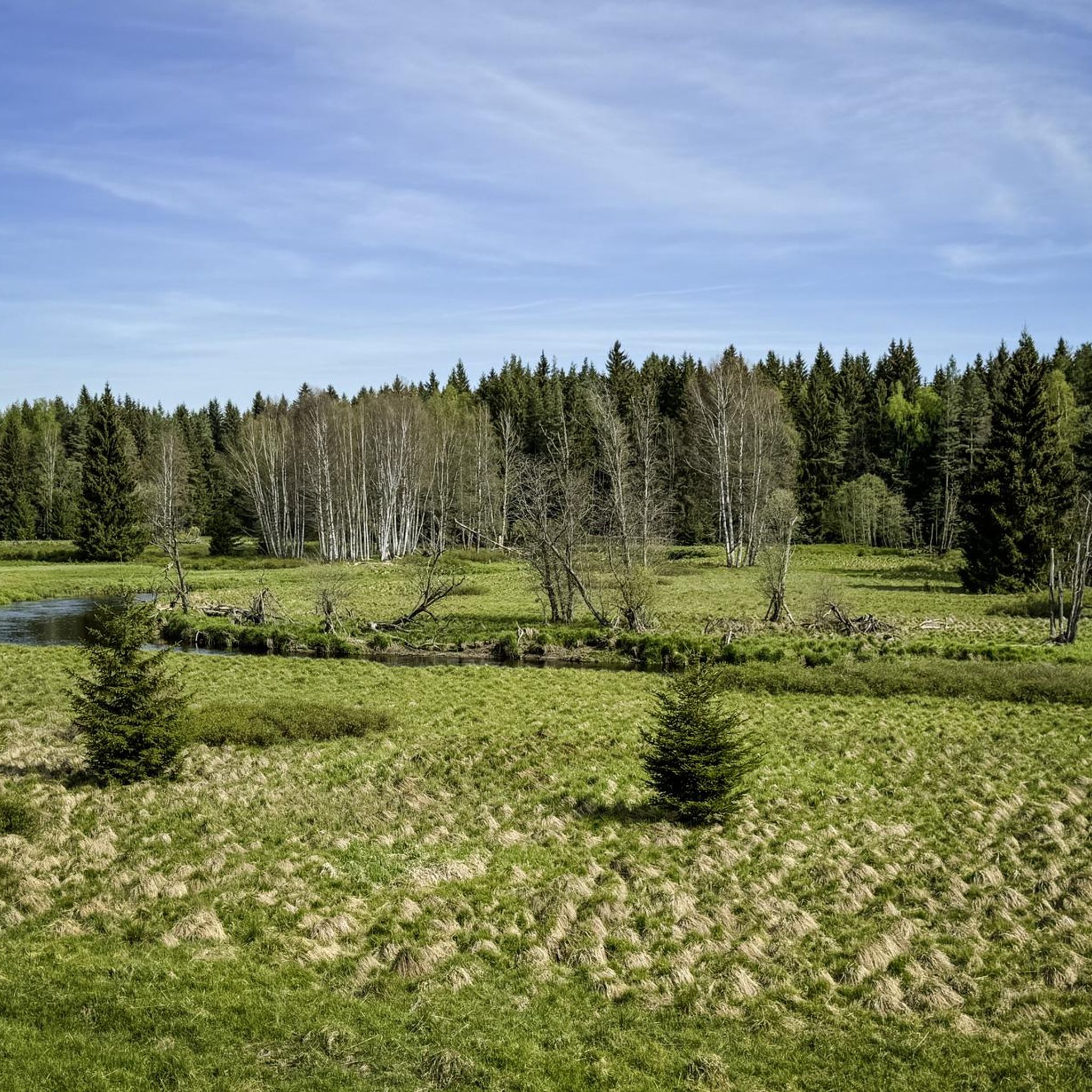
Hiking around PP Vltavský luh offers routes through a typical river flood plain, shaped by the meandering Teplá Vltava river. The area features extensive peat bogs, which are home to diverse plant and animal species, and includes widely harvested meadows. Elevations in the region range between approximately 730 and 765 meters above sea level, providing a relatively gentle terrain for exploration.
Best hiking trails in PP Vltavský luh
- The most popular hiking route is Soumarské Peat Bog Boardwalk – Beaver…
Last updated: July 1, 2026
4.6
(23)
181
hikers
Easy hike. Great for any fitness level. Easily-accessible paths. Suitable for all skill levels.
4.7
(14)
48
hikers
18.6km
05:17
420m
420m
Hard hike. Very good fitness required. Easily-accessible paths. Suitable for all skill levels.

Sign up for free
4.9
(15)
42
hikers
9.06km
02:23
80m
80m
Moderate hike. Good fitness required. Easily-accessible paths. Suitable for all skill levels.
4.6
(19)
55
hikers
6.16km
01:35
30m
30m
Easy hike. Great for any fitness level. Easily-accessible paths. Suitable for all skill levels.
4.6
(9)
32
hikers
7.88km
02:02
50m
50m
Moderate hike. Good fitness required. Easily-accessible paths. Suitable for all skill levels.
Get access to more routes and recommendations from other explorers.
Sign up for free
Already have an account?
Our route recommendations are based on thousands of hikes, rides, and runs completed by other people on komoot.
Start today with a free account
Your next adventure awaits.
Login or Signup


Tips from the Community

Were there in July 2025 - tower unfortunately closed.
0
0

Very worth seeing rock labyrinth 👍
0
0
Very worth seeing rock labyrinth 👍
0
0
Very worth seeing rock labyrinth 👍
0
0
The rock labyrinth is worth seeing!
0
0
The rock labyrinth is worth seeing!
0
0
The rock labyrinth is worth seeing!
0
0
Frequently Asked Questions
What kind of terrain can I expect when hiking in PP Vltavský luh?
The terrain in PP Vltavský luh is primarily characterized by a typical river flood plain, shaped by the meandering Teplá Vltava river. You'll encounter extensive peat bogs, which are home to unique plant and animal species, and widely harvested meadows. The altitude generally ranges between 730 and 765 meters above sea level, offering a relatively gentle landscape for exploration.
Are there any easy hiking trails suitable for beginners or families?
Yes, PP Vltavský luh offers several easy routes. A great option is the Soumarské Peat Bog Boardwalk – Beaver Tree on the Vydra River loop from Soumarský Most. This 3.1 km (2.0 miles) trail is accessible and allows you to explore the delicate peat bog ecosystem and observe beaver trees. Another easy choice is the Moldau Floodplains – Teplá Vltava loop from Soumarský Most, which is about 6.1 km (3.8 miles) long.
What are some notable natural features or landmarks to see along the trails?
The region is rich in natural beauty. You can explore the extensive peat bogs, which are a significant ecological feature. The meandering Teplá Vltava river itself is a prominent natural landmark. Along some routes, you might spot beaver trees. For specific points of interest, consider visiting the Upper Vltava River in Šumava National Park or the Kalte Moldau (Cold Vltava).
Are there any circular hiking routes in PP Vltavský luh?
Yes, many of the trails in PP Vltavský luh are designed as loops, allowing you to start and end at the same point. For example, the Teplá Vltava – Moldau Floodplains loop from Soumarský Most is a popular 9.0 km (5.6 miles) circular route. Another option is the Moldau Floodplains – Beaver Tree on the Vydra River loop from Dobrá, which covers about 7.9 km (4.9 miles).
What do other hikers say about the trails in PP Vltavský luh?
The hiking trails in PP Vltavský luh are highly regarded by the komoot community, holding an average rating of 4.5 stars from over 1000 reviews. Hikers often praise the tranquil atmosphere, the unique natural environment of the river flood plains and peat bogs, and the well-maintained paths that offer diverse experiences for all skill levels.
How many hiking routes are available in the PP Vltavský luh area?
There are over 290 hiking routes available for exploration in the PP Vltavský luh area, catering to a wide range of preferences and fitness levels. This includes 88 easy, 148 moderate, and 63 difficult trails.
Are the hiking trails in PP Vltavský luh dog-friendly?
Generally, dogs are welcome on trails in the Šumava National Park and Protected Landscape Area, which encompasses PP Vltavský luh. However, it's always recommended to keep dogs on a leash, especially in sensitive natural areas like peat bogs, to protect wildlife and ensure a pleasant experience for all visitors. Always check local signage for specific restrictions.
What is the best time of year to go hiking in PP Vltavský luh?
The best time to hike in PP Vltavský luh is typically from spring through autumn, when the weather is mild and the natural landscape is vibrant. Spring brings blooming flora, while autumn offers beautiful fall colors. Summer is also popular, but trails can be busier. Winter hiking is possible, but conditions can be challenging due to snow and ice, especially in the peat bog areas.
Are there any challenging hikes for experienced trekkers?
Yes, for experienced trekkers seeking a challenge, the Jelení Jezírko – Viklan Balanced Rock loop from Nová Pec is a difficult 18.5 km (11.5 miles) path. This route features significant elevation changes and winds through varied terrain, including a unique balanced rock formation, offering a more strenuous and rewarding experience.
What kind of wildlife can I expect to see in PP Vltavský luh?
The extensive peat bogs and river flood plains of PP Vltavský luh create a rich habitat for diverse plant and animal species. You might encounter various bird species, amphibians, and insects. Beavers are also present, and their activity, such as beaver trees, can be observed along the Vydra river, particularly on trails like the Soumarské Peat Bog Boardwalk.
Is public transport available to reach the trailheads in PP Vltavský luh?
While specific public transport options can vary by season and trailhead, some areas within the Šumava region, including those near PP Vltavský luh, are accessible by local buses or trains. For example, Soumarský Most, a common starting point for several trails, may have public transport connections. It's advisable to check current schedules for the Šumava National Park area before your visit.
Are there places to eat or find accommodation near the hiking areas?
While PP Vltavský luh itself is a natural monument, the surrounding Šumava region offers various amenities. Nearby villages and towns may provide cafes, pubs, and accommodation options. It's recommended to check for services in places like Soumarský Most or Nová Pec, which are common starting points for hikes in the area.
Most popular routes around PP Vltavský luh
Most popular attractions around PP Vltavský luh

Get inspired with the komoot mobile app


Explore more
Browse the best Hikes in other regions.
