The best road cycling routes around Jayena
4.0
(7)
474
riders
6
rides
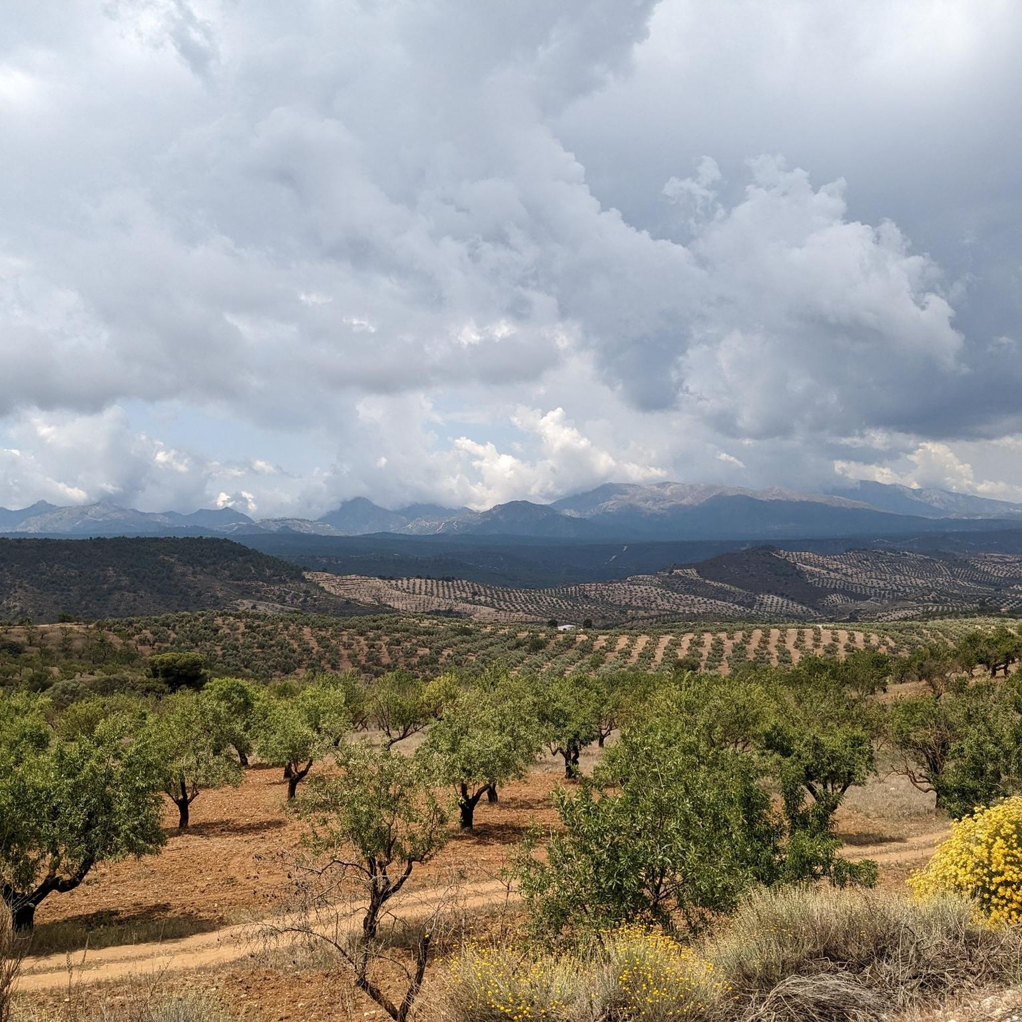
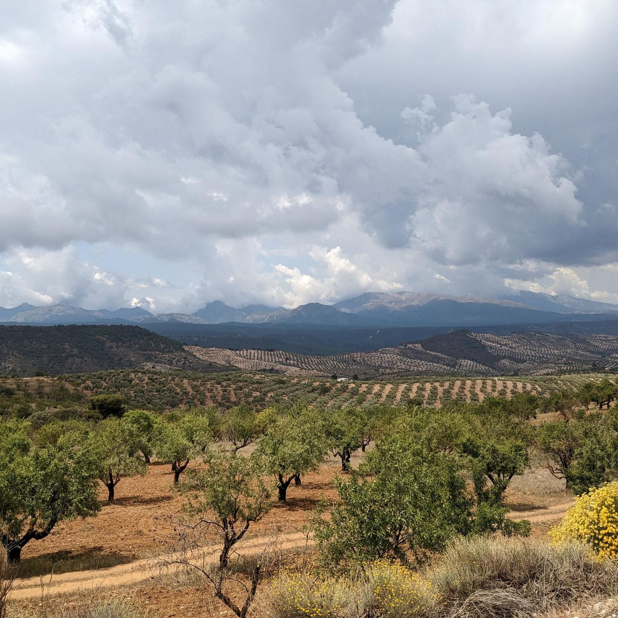
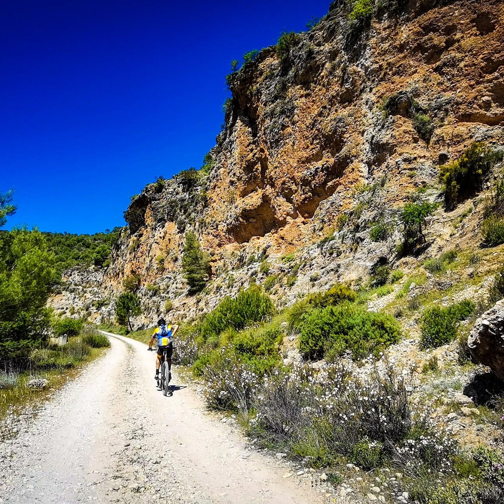
Road cycling routes around Jayena, located in Andalusia, Spain, feature diverse and challenging landscapes. The region is characterized by mountainous terrain, rolling hills, and significant elevation gains, providing varied experiences for cyclists. Its proximity to natural parks, including Sierra Nevada National Park, contributes to its scenic beauty and diverse topography. The area offers a mix of paved and unpaved segments, catering to different fitness levels.
Best road cycling routes around Jayena
- The most popular road cycling route is Bermejales Reservoir…
Last updated: May 14, 2026
4.0
(1)
24
riders
22.8km
01:05
290m
300m
Cycle an easy 14.1-mile (22.8 km) circular route around the Bermejales Reservoir, enjoying aquamarine waters and mountain views.
5.0
(7)
401
riders
103km
05:34
1,640m
1,640m
Hard road ride. Very good fitness required. Some segments of this route may be unpaved and difficult to ride.

Sign up for free
19
riders
62.4km
03:09
1,080m
1,080m
Hard road ride. Very good fitness required. Mostly well-paved surfaces and easy to ride.
20
riders
Moderate road ride. Good fitness required. Mostly well-paved surfaces and easy to ride.
4
riders
37.5km
02:08
590m
590m
Moderate road ride. Good fitness required. Mostly well-paved surfaces and easy to ride.
Our route recommendations are based on thousands of hikes, rides, and runs completed by other people on komoot.
Start today with a free account
Your next adventure awaits.
Login or Signup




Tips from the Community

Andalusian wetland, with parking area, bird watching and recommended restaurants
0
0
Parking area and recommended restaurants
0
0

The silence, the wind, the endless views of the Sierra
0
0

Street art with a message.
7
0
The Embalse de los Bermejales is a reservoir in the province of Granada, Andalusia, Spain. It is located in the municipality of Arenas del Rey and is fed by the rivers and streams of the Sierra de Almijara mountains. The reservoir was completed in 1958 and has a capacity of approximately 104 million cubic meters of water. With beautiful views of the natural surroundings.
5
0

The Embalse y Presa Los Bermejales is a reservoir and dam in the Sierra de Tejeda, Almijara y Alhama and is an interesting tourist attraction in the region. The reservoir is located near the village of Alhama de Granada, south of the Sierra. It is a great destination for nature lovers as well as for outdoor activities such as cycling. The region around the reservoir offers a mixture of Mediterranean vegetation and mountain landscapes. The area is ideal for more challenging cycling tours.
5
0
The lake of Los Bermejales, or Embalse de Los Bermejales, is known for its beautiful blue waters. The clear color of the water is mainly due to the bright sun and the relatively good water quality. The lake is surrounded by the Sierras Tejeda y Almijar, which creates a beautiful landscape, especially at sunrise and sunset.
1
0
The Dolmen de Los Bermejales is a megalithic tomb located near the Los Bermejales reservoir. This dolmen is part of a necropolis, a burial place from the Neolithic and Bronze Ages. It was discovered in 1964 when the water level of the reservoir dropped, and was subsequently moved to be preserved. The dolmen consists of a corridor with two doors that divides the room into three sections. It is approximately 9.45 meters long, 2 meters wide and 1.80 meters high. During the excavations, ceramics, copper, bones and four skulls were found.
4
0
Frequently Asked Questions
What kind of terrain can I expect on road cycling routes around Jayena?
Road cycling routes around Jayena feature diverse and challenging landscapes. You can expect a mix of mountainous terrain, rolling hills, and significant elevation gains. The area offers both paved and unpaved segments, with many routes providing scenic views of reservoirs like Embalse de Bermejales and the surrounding natural parks.
Are there any easy road cycling routes suitable for beginners in Jayena?
Yes, there is at least one easy road cycling route. The Bermejales Reservoir Perimeter Trail is an easy 14.1-mile (22.8 km) route that follows the reservoir's edge, making it a good option for those looking for a less strenuous ride.
Where can I find challenging road cycling routes with significant climbs in Jayena?
Jayena is known for its challenging routes with substantial elevation changes. For a difficult and long-distance ride, consider the Great agricultural landscape – Carretera de la Cabra loop from Játar, which covers 64.2 miles (103.4 km) with over 1,600 meters of ascent. Another demanding option is the View of Embalse de Bermejales – On monte, on descend et on recommence loop from Jayena, a 38.7-mile (62.3 km) trail with over 1,000 meters of climbing.
What natural attractions or landmarks can I see along the road cycling routes?
The region around Jayena offers several natural attractions. You might encounter impressive waterfalls such as the Río Verde Waterfalls, Barranco de las Chortales or the Petrified Trees Waterfall. For those seeking panoramic views, routes may pass near summits like Pico del Cielo Summit or Cerro Lucero (1,779 m). Additionally, you can experience various mountain passes, including Puerto Blanquillo and Carretera de la Cabra.
Are there any circular road cycling routes available?
Yes, many of the road cycling routes around Jayena are designed as loops. Examples include the easy Bermejales Reservoir Perimeter Trail, the challenging Great agricultural landscape – Carretera de la Cabra loop from Játar, and the moderate Los Bermejales Reservoir – Embalse de Bermejales loop from Pantano de los Bermejales.
What is the best time of year for road cycling in Jayena?
Jayena, located in Andalusia, Spain, generally offers good cycling conditions for much of the year. Spring and autumn typically provide pleasant temperatures for road cycling, avoiding the intense heat of summer. The diverse terrain means conditions can vary, so checking local weather forecasts before your ride is always recommended.
What do other road cyclists enjoy most about road cycling in Jayena?
The road cycling routes in Jayena are highly rated by the komoot community, with an average score of 5.0 stars from 5 reviews. Cyclists often praise the diverse and challenging landscapes, the significant elevation gains that offer rewarding climbs, and the scenic views of reservoirs and natural parks like Sierra Nevada.
Are there any moderate difficulty road cycling routes?
Yes, there are moderate options for road cyclists. The Los Bermejales Reservoir – Embalse de Bermejales loop from Pantano de los Bermejales is a moderate 35.4-mile (56.9 km) route. Another moderate choice is the View of Alhama de Granada – Pantaneta de Alhama loop from Arenas del Rey, which covers 23.3 miles (37.4 km).
Is public transport available to access road cycling routes in Jayena?
While Jayena is a smaller town, public transport options might be limited for direct access to all trailheads. It's advisable to research local bus services or consider driving to a starting point, especially for routes that begin outside the immediate town center. Many cyclists prefer to start their tours directly from Jayena or nearby villages.
Are there specific parking areas for cyclists near the routes?
Parking availability can vary depending on the specific starting point of your chosen route. In Jayena and surrounding villages, you can typically find street parking. For routes starting near natural attractions or reservoirs, designated parking areas may be available. Always check local signage for any restrictions.
Do I need any special permits to cycle in the Sierra Nevada National Park area near Jayena?
While general road cycling on paved roads within the vicinity of Sierra Nevada National Park usually doesn't require special permits, certain off-road or protected areas might have specific regulations. If your route ventures into more remote or sensitive parts of the park, it's always best to check the official Sierra Nevada National Park website for the latest information on access and permits.
Most popular attractions around Jayena

Get inspired with the komoot mobile app


Explore more
Browse the best Road cycling routes in other regions.
