The best running trails around Huétor Tájar
5.0
(5)
531
runners
41
runs
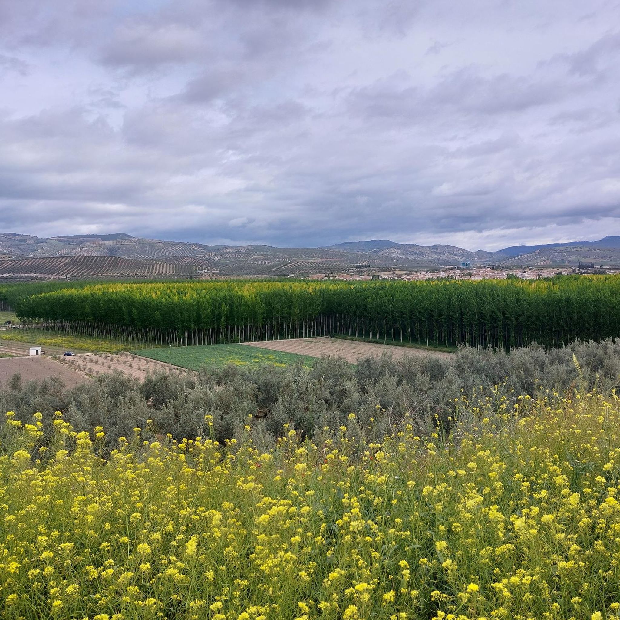
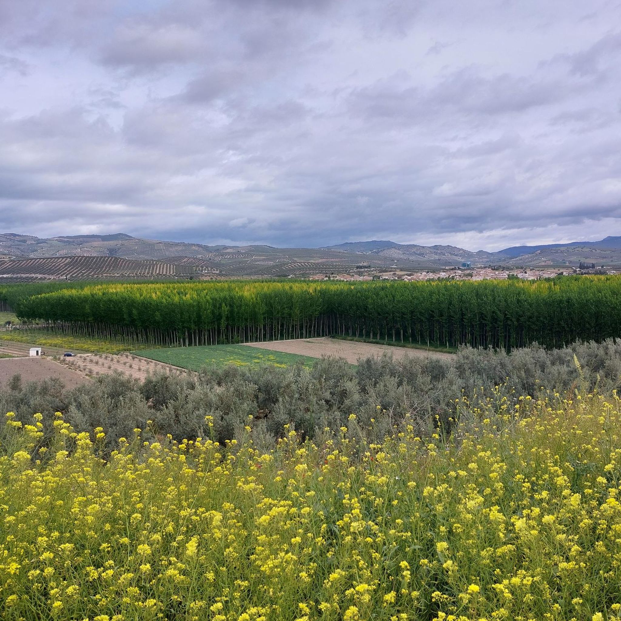
Jogging around Huétor Tájar offers a diverse landscape for runners, situated on the fertile plain of the Genil River. The region combines agricultural areas with mountainous terrain, providing varied routes. Nearby, the Huétor Natural Park features extensive pine forests, holm oaks, and limestone mountains, offering shaded trails and geological formations. For more challenging runs, the Sierra de Loja presents routes with significant elevation and expansive views.
Best jogging routes around Huétor Tájar
- The most popular jogging route is Running loop…
Last updated: June 29, 2026
83
runners
8.28km
00:53
150m
150m
Moderate run. Good fitness required. Mostly paved surfaces. Suitable for all skill levels.
33
runners
30.0km
04:24
1,510m
1,510m
Hard run. Very good fitness required. Sure-footedness, sturdy shoes and alpine experience required.

Sign up for free
34
runners
28.1km
04:25
1,380m
1,380m
Hard run. Very good fitness required. Sure-footedness, sturdy shoes and alpine experience required.
9
runners
5.62km
00:35
20m
20m
Moderate run. Good fitness required. Mostly paved surfaces. Suitable for all skill levels.
5.0
(1)
6
runners
7.34km
00:45
20m
20m
Moderate run. Good fitness required. Mostly paved surfaces. Suitable for all skill levels.
Get access to more routes and recommendations from other explorers.
Sign up for free
Already have an account?
Our route recommendations are based on thousands of hikes, rides, and runs completed by other people on komoot.
Start today with a free account
Your next adventure awaits.
Login or Signup
Tips from the Community

Always carry water
0
0

The Huétor tower was a tower in the walled fortified system of the Huétor farmhouse. This corresponds to the current town of Huétor-Tájar, located on the left bank of the Genil River, in the center of western Granada.
0
0
Frequently Asked Questions
How many running routes are available in Huétor Tájar?
There are nearly 40 dedicated running routes around Huétor Tájar listed on komoot, offering a wide variety of options for different fitness levels and preferences.
What kind of terrain can I expect on the jogging trails in Huétor Tájar?
The region offers diverse terrain. You'll find flatter routes along the fertile Genil River Plain, ideal for easy runs. For more varied and shaded trails, the nearby Huétor Natural Park features extensive pine forests and limestone mountains. If you're seeking challenging runs with significant elevation, the Sierra de Loja provides mountainous terrain.
Are there any easy or beginner-friendly running routes in Huétor Tájar?
While there are no routes specifically graded as 'easy' in the komoot data, many of the 'moderate' routes, particularly those along the Genil River Plain, offer relatively flat paths suitable for beginners or those looking for a less strenuous run. The Tower of Huétor-Tájar loop from Huétor Tájar is a shorter, moderate option at 3.5 miles (5.6 km).
What are the most challenging running routes around Huétor Tájar?
For experienced runners seeking a challenge, the region offers several difficult routes. The Mirador de Sylvania – Isabel I of Castile Viewpoint loop from Loja is a demanding 18.6-mile (30.0 km) path with significant elevation gain, offering far-reaching views of the Sierra Nevada. Another difficult option is the Morro de la Cabra – Alcazaba de Loja loop from Loja.
Are there any scenic viewpoints or natural attractions along the running trails?
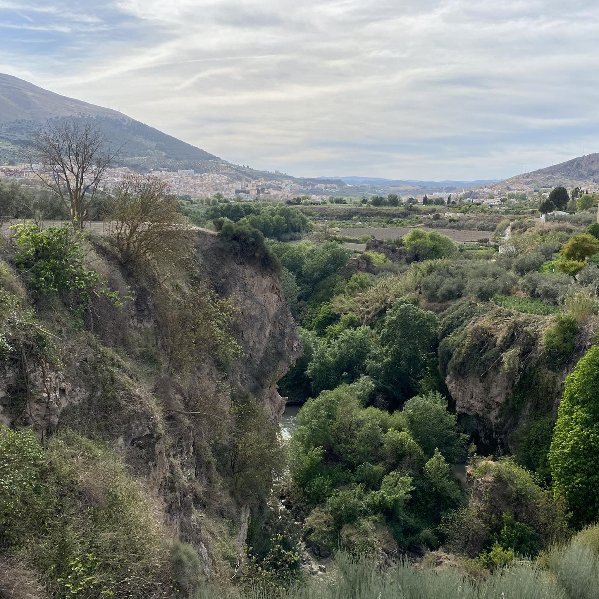
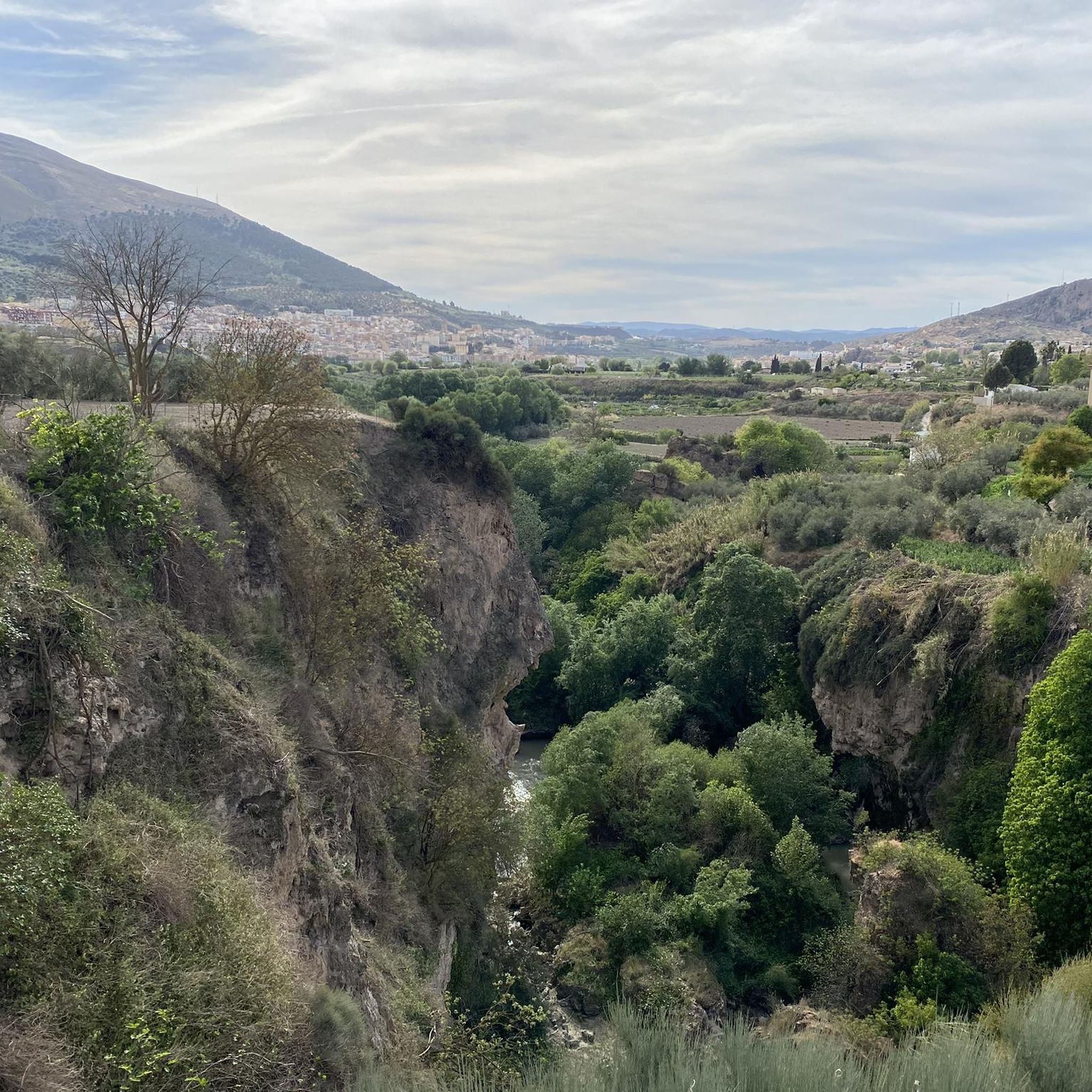
Absolutely! Many routes offer stunning views. The Sierra de Loja, particularly near Periquete Cross, provides spectacular vistas of the entire Sierra Nevada. You can also explore natural areas like the beautiful Río Frío Springs or the striking Infiernos of Loja and the Genil River with its waterfall.
Can I find circular running routes in Huétor Tájar?
Yes, many of the running routes in Huétor Tájar are designed as loops, allowing you to start and finish in the same location. Examples include the popular Running loop from Huétor Tájar and the Tower of Huétor-Tájar loop from Huétor Tájar.
What do other runners say about the trails in Huétor Tájar?
The running routes in Huétor Tájar are highly rated by the komoot community, with an average score of 5.0 stars from 3 reviews. Runners often praise the varied terrain, from flat riverside paths to more demanding mountain trails, and the beautiful natural scenery.
Are there any historical landmarks I can see while jogging?
Yes, the area has historical significance. You might encounter the ancient Torreón de Huétor (a Moorish tower) or the remains of the Fortaleza de Tájara. The Tower of Huétor-Tájar loop from Huétor Tájar specifically leads through the local area, offering glimpses of such features.
Is Huétor Tájar suitable for running with dogs?
While specific dog-friendly routes aren't highlighted, many natural areas and rural paths, such as those in the Huétor Natural Park or along the Genil River Plain, are generally suitable for running with dogs, provided they are kept on a leash and you adhere to local regulations regarding pet access in natural spaces.
What is the best time of year for jogging in Huétor Tájar?
Huétor Tájar offers good running conditions for much of the year. Spring and autumn provide pleasant temperatures for longer runs. Even in summer, the pine forests of Huétor Natural Park can offer some shade, though it's best to run early in the morning or late in the evening to avoid the midday heat.
Are there any routes that offer a mix of natural beauty and urban exploration?
Yes, routes like the Tower of Huétor-Tájar loop from Huétor Tájar combine natural paths with sections that pass through the local area, allowing you to experience both the rural charm and glimpses of the town's historical elements.
How long are the typical running trails in Huétor Tájar?
The running trails in Huétor Tájar vary significantly in length. You can find shorter loops around 3.5 miles (5.6 km), such as the Tower of Huétor-Tájar loop, up to much longer and more challenging routes like the Mirador de Sylvania – Isabel I of Castile Viewpoint loop, which is nearly 19 miles (30 km).
Most popular attractions around Huétor Tájar

Get inspired with the komoot mobile app


Explore more
Browse the best Running Trails & Routes in other regions.
