The best walks and hikes around Brihuega
4.9
(20)
94
hikers
20
hikes
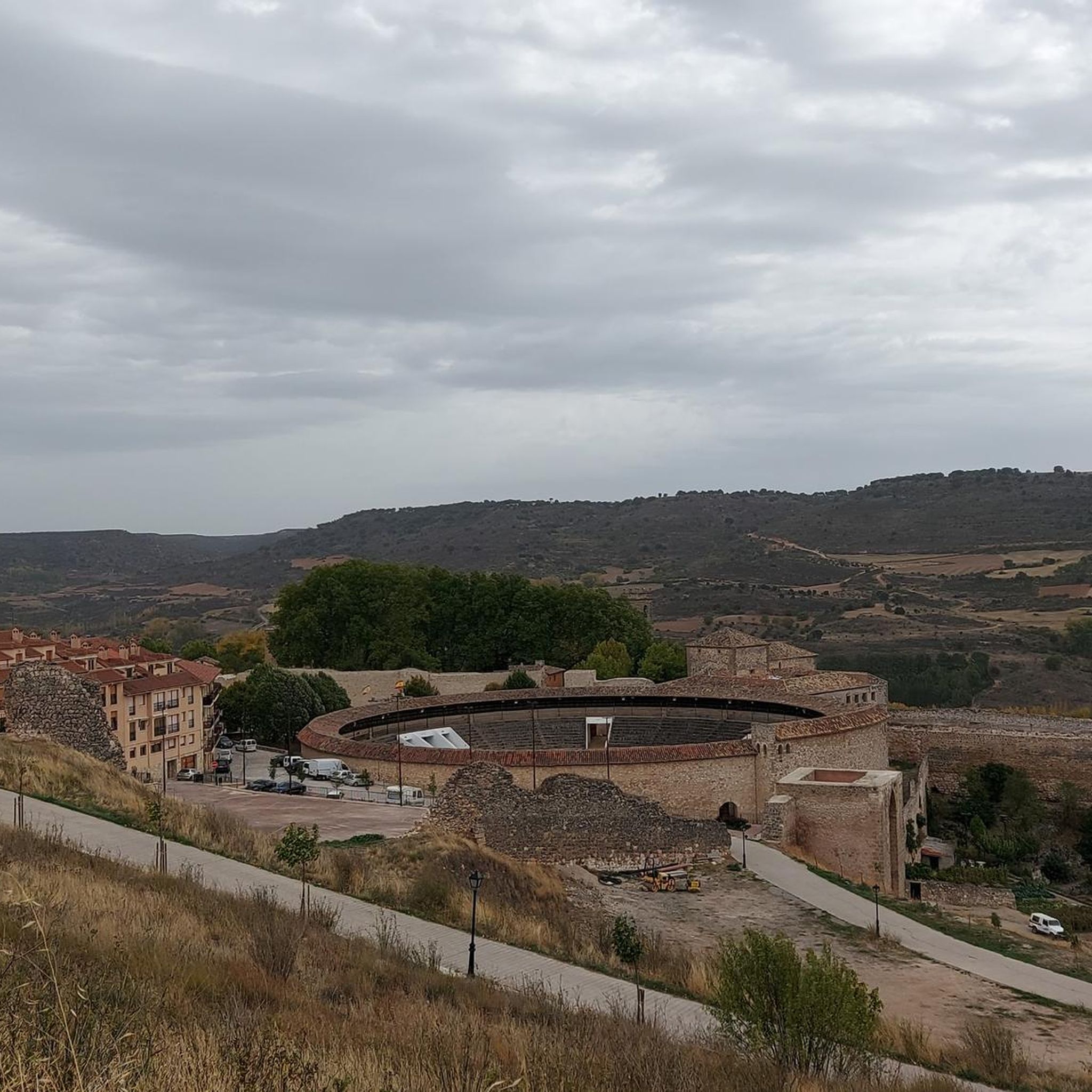
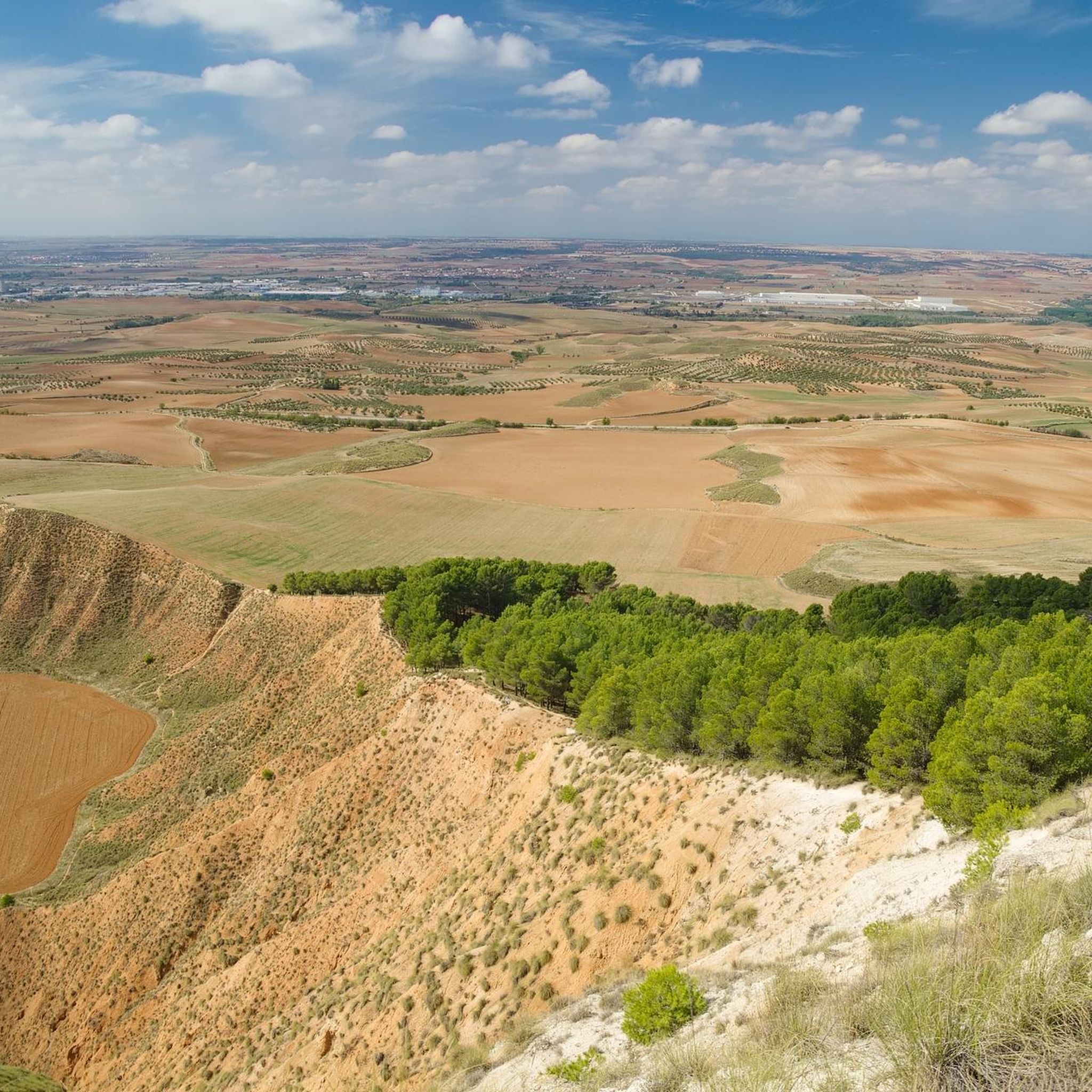
Hiking around Brihuega offers diverse landscapes within the Tajuña Valley, characterized by lush vegetation and varied terrain. The region features extensive lavender fields, particularly vibrant in July, and views of the Buendía and Entrepeñas Reservoirs. Hikers can explore riverside paths, gentle hills, and areas like the Peñascos de los Frailes. The natural environment provides a range of trails for different skill levels.
Best hiking trails around Brihuega
- The most popular hiking route is The Garduño de Cela — circular through…
Last updated: July 11, 2026
4.8
(8)
24
hikers
11.7km
03:25
330m
330m
Moderate hike. Good fitness required. Easily-accessible paths. Suitable for all skill levels.
5.0
(1)
7
hikers
10.5km
02:50
130m
130m
Moderate hike. Good fitness required. Easily-accessible paths. Suitable for all skill levels.

Sign up for free
4.5
(2)
6
hikers
11.8km
03:18
220m
220m
Moderate hike. Good fitness required. Easily-accessible paths. Suitable for all skill levels.
5.0
(1)
6
hikers
12.0km
03:15
160m
160m
Moderate hike. Good fitness required. Easily-accessible paths. Suitable for all skill levels.
5.0
(2)
7
hikers
10.6km
03:04
250m
260m
Moderate hike. Good fitness required. Easily-accessible paths. Suitable for all skill levels.
Get access to more routes and recommendations from other explorers.
Sign up for free
Already have an account?
Our route recommendations are based on thousands of hikes, rides, and runs completed by other people on komoot.
Start today with a free account
Your next adventure awaits.
Login or Signup
Tips from the Community

Next to the cemetery
0
0
Precious village at any time of the year. With many fountains and water.
0
0
Beautiful village between La Alcarria and the Entrepeñas Reservoir.
0
0
There is never a shortage of water in this waterfall, as it is fed by water from the Fountain, which in turn is fed by the overflow of a water tank.
0
0
It is a unique, curious, extraordinary, beautiful, nice, very special place.
0
0
Beauty concentrated in the color purple.
0
0
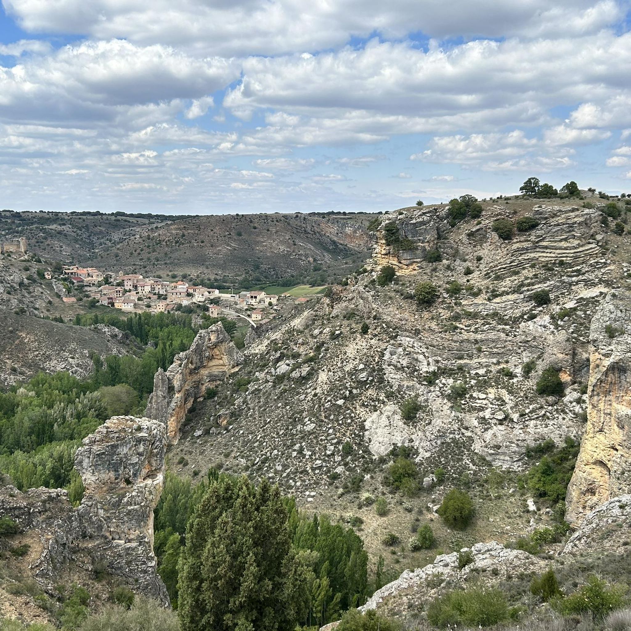
The nature do not stop surprising! It is a formation of Tolmos, (Vertical Rocks), ordered and organized like a procession of Friars who are going to perform their prayers. The ideal is to see them from the bed of the Reato River, both from the bottom and the top of the meander it forms. You can also get close to them and admire their great size.
1
0

A nice path through the forests that allows you to enjoy the shade even on a hot day. To return to Romancos town, follow the white and yellow painted markings.
2
1
Frequently Asked Questions
How many hiking trails are available around Brihuega?
There are over 20 hiking trails in the Brihuega area, offering a variety of experiences. These include 5 easy routes and 15 moderate routes, ensuring options for different fitness levels.
When is the best time of year to go hiking in Brihuega?
The best time to hike in Brihuega is generally during late spring and early summer, especially in July, when the extensive lavender fields transform the landscape into a 'purple paradise'. This offers a unique sensory experience and beautiful vistas.
Are there any trails that feature waterfalls or significant water features?
Yes, you can explore the Civica and Civica waterfall - circular along the Tajuña river. This 10.5 km circular trail follows the Tajuña river, leading to the Civica waterfall and offering scenic views of the valley.
Can I find circular hiking routes in Brihuega?
Many of the trails around Brihuega are circular, allowing you to start and end in the same location. For example, the Garduño de Cela is a moderate circular route exploring the rural landscape, and the Jardín de La Alcarria offers a circular walk through the lavender fields.
Are there easy or family-friendly hiking options in Brihuega?
Yes, Brihuega offers 5 easy routes suitable for families or those looking for a more relaxed walk. The diverse terrain includes riverside paths and gentle hills, making it accessible for various skill levels. Many paths are well-maintained and suitable for a leisurely stroll.
What natural landmarks or attractions can I see while hiking in the region?
Hikers can enjoy several natural highlights. The Tajuña Valley provides lush vegetation, while the lavender fields are a major draw in July. You can also find stunning views of the Buendía and Entrepeñas Reservoirs, and explore areas like the Peñascos de los Frailes, known for its rock formations.
What do other hikers enjoy most about hiking in Brihuega?
The hiking trails in Brihuega are highly rated by the komoot community, with an average score of 4.9 stars from 15 reviews. Hikers often praise the diverse landscapes, from the Tajuña Valley to the vibrant lavender fields, and the well-maintained paths that cater to various abilities.
Are there any historical sites or cultural attractions near the hiking trails?
Yes, Brihuega itself is rich in history. You can explore the Castle of the Piedra Bermeja, which offers panoramic views, or discover the unique Arab Caves, a network of hidden tunnels beneath the town. These attractions provide a cultural complement to your outdoor adventures.
Are the hiking trails in Brihuega suitable for dogs?
Generally, most hiking trails in natural areas like Brihuega are dog-friendly, especially if your dog is well-behaved and kept on a leash. It's always recommended to carry water for your pet and clean up after them to preserve the natural environment for everyone.
What kind of terrain can I expect on hikes around Brihuega?
The terrain around Brihuega is varied, ranging from lush riverside paths along the Tajuña river to gentle hills and open fields, particularly around the lavender plantations. Routes like Peñascos de los Frailes offer views of unique rock formations and surrounding countryside.
Are there longer, more challenging hikes for experienced trekkers?
While most routes in the immediate Brihuega area are moderate, for more adventurous hikers, the region offers access to more challenging ascents like Pico Ocejón (2,049 meters) in the wider area, which provides impressive panoramic views. Within Brihuega, the 15 moderate routes offer good distances and elevation gains.
Most popular attractions around Brihuega

Get inspired with the komoot mobile app


Explore more
Browse the best Hikes in other regions.
