The best road cycling routes around Castell De Mur
4.5
(20)
1,321
riders
43
rides
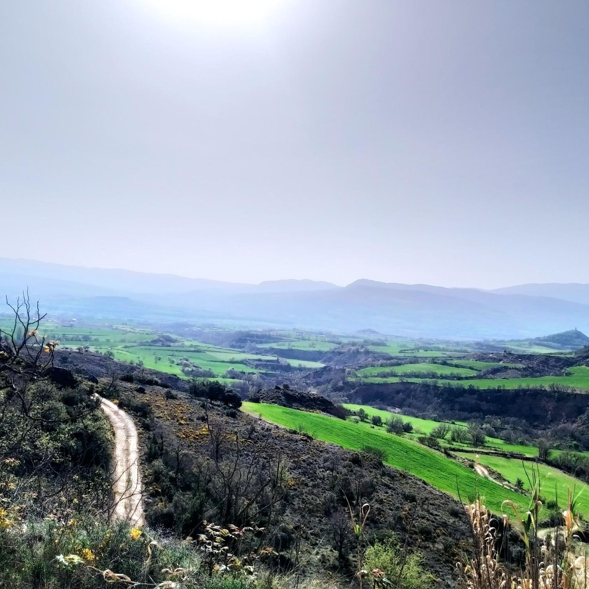
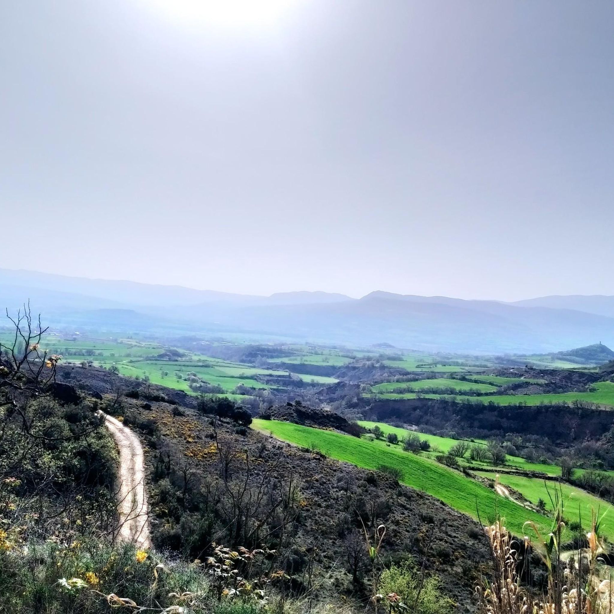
Road cycling routes around Castell De Mur are situated in the Pallars Jussà region of Catalonia, Spain, characterized by its diverse mountainous terrain. The area features dramatic ravines, cliffs, and elevated positions offering views over the Tremp basin and the Terradets reservoir. Cyclists can expect varied topography, from flat sections along the Noguera Pallaresa river to challenging climbs on quiet, paved roads. The region's geography provides a range of road cycling experiences.
Best road cycling routes around Castell De Mur
…Last updated: October 1, 2026
5.0
(1)
31
riders
113km
06:02
2,130m
2,130m
This difficult 70.1-mile (112.7 km) road cycling route from Tremp explores the scenic Escales and Sant Antoni reservoirs.
5.0
(3)
277
riders
85.8km
04:35
1,600m
1,600m
Hard road ride. Very good fitness required. Some segments of this route may be unpaved and difficult to ride.

71
riders
109km
05:51
1,930m
1,930m
Hard road ride. Very good fitness required. Some segments of this route may be unpaved and difficult to ride.
81
riders
Moderate road ride. Good fitness required. Some segments of this route may be unpaved and difficult to ride.
4.5
(2)
62
riders
82.9km
04:37
1,750m
1,750m
Hard road ride. Very good fitness required. Mostly well-paved surfaces and easy to ride.
Get access to more routes and recommendations from other explorers.
Already have an account?
Our route recommendations are based on thousands of hikes, rides, and runs completed by other people on komoot.
Start today with a free account
Your next adventure awaits.

Tips from the Community

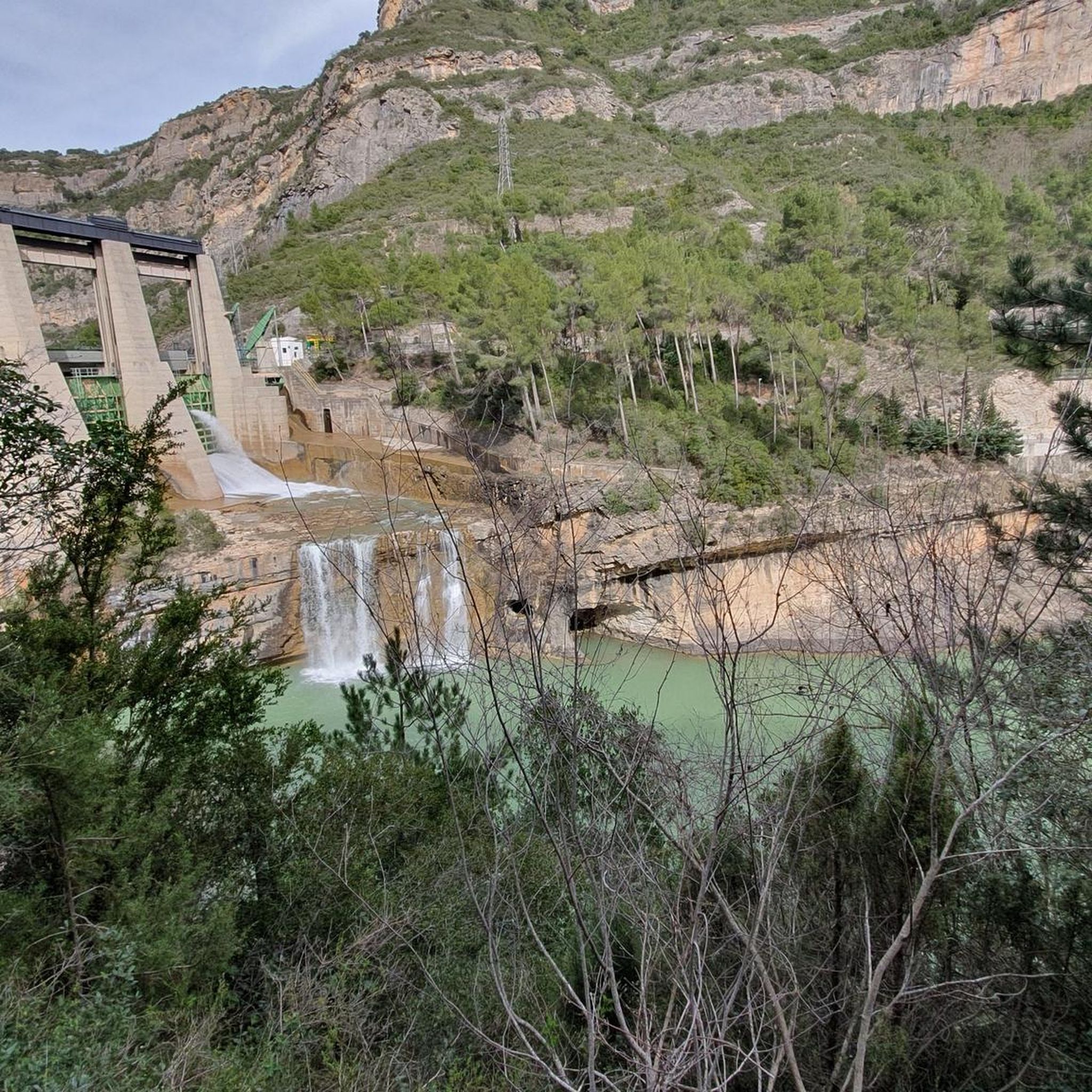
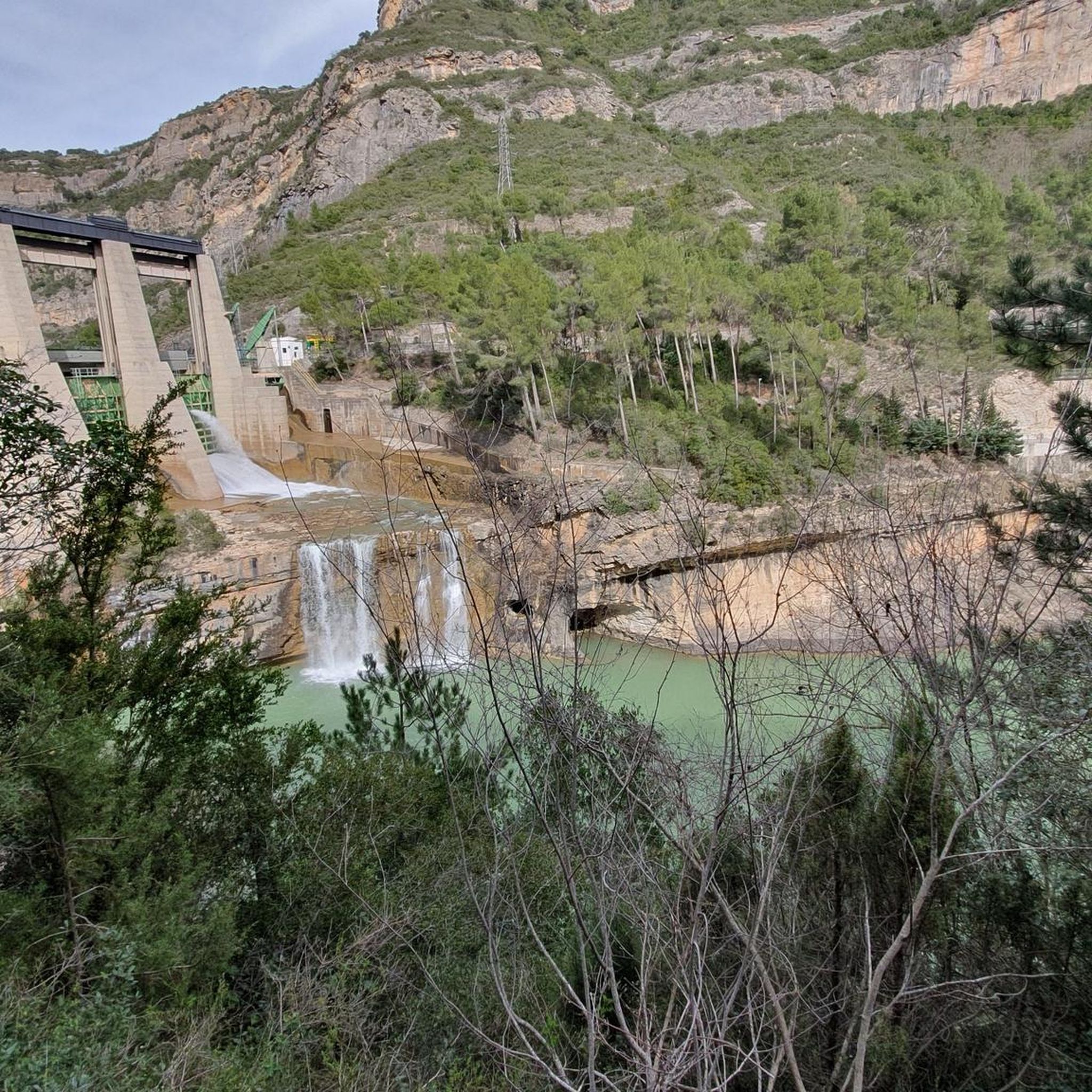
Easy hiking trail along the road. You walk directly past the cliffs and the lake. Very impressive
0
0

Fresh drinking water - perfect location to fill your bottles
0
0

Important explanation of geology
0
0

This is an area with a beautiful natural landscape, ideal for relaxing and enjoying nature. It's also an idyllic spot for a multitude of leisure activities. Its cliffs make it an attractive spot for climbing enthusiasts. Along the road that runs alongside it, you'll find several picture-postcard views.
0
0

Good alternative to not driving on the national road. The landscape is beautiful and the road, despite being secondary, is in good condition.
0
0

Next to the Coll d'Ares, it is the most iconic port in the Montsec mountain range and the Lleida Pre-Pyrenees. The views from above, either towards the Pyrenees and the Isona and Tremp valley, as well as the Plana de Lleida, are magnificent. It is a port with 4 aspects, each one different: - The southern slope, which begins in Artesa de Segre, is almost 24 km long and runs along a road with a lot of traffic, very wide and with long straights. After passing the town of Folquer, you face the hardest section of the climb, now with continuous curves and horseshoes, although with a road that is still very wide. The best are the views of the Lleida plain. It is not a side that I like since it is very stinky. - The southeast slope, the one that begins in Pons, is longer than the previous one, with 29 km. It has 2 rest sections, with some descent, and the road is narrow and twisty. There are good views along the climb. This slope joins the southern slope that comes from Artesa de Segre at the height of Folquer, where the hardest 7 km remain until reaching the top of the pass. - The main northern slope begins in Tremp and is 28.2 km. It is similar to the Artesa de Segre slope, with a similar gradient and a wide, busy road with a progressive slope, although it is true that there are no kilometers that reach 7%. I don't like. - The northwest slope, which also begins in Tremp, takes the old road that goes up through the town of Sant Salvador de Toló. It is a climb without traffic, on an irregular asphalt road, one of the old ones, which is grippy and difficult to roll, but in good condition. If you plan to go up to Comiols on the northern slope, you have to do it here and forget about the slope that runs along the main road.
0
0
It is a port in the Montsec mountain range that allows access to the beautiful valley where the town of Àger is located, with imposing vertical mountains that give a lot of charm and spectacularity to the valley, especially in spring where the green of the trees, the red of poppies and the warm yellow of wheat. The port is very stinky on both sides since the road is very wide, normally with 3 lanes, and with long straights, which take away any type of cycling attraction. However, the views from the port, especially towards the Àger valley, are spectacular. I climbed it on the southern slope, the one that begins in Balaguer. From Balaguer it is almost 25 km, with continuous ups, downs and flat areas. The final uphill section is 5.5 km at 6 - 7%, with a rest section when crossing the town of Sant Josep de Fontdepou
0
0
Frequently Asked Questions
How many road cycling routes are available around Castell de Mur?
The Castell de Mur area offers a wide selection of road cycling routes, with 38 tours available. These routes cater to various skill levels, from moderate to difficult, ensuring a suitable challenge for most road cyclists.
What kind of terrain can I expect when road cycling near Castell de Mur?
Road cycling around Castell de Mur is characterized by diverse mountainous terrain, featuring dramatic ravines, cliffs, and elevated positions. You'll find a mix of challenging climbs and some flatter sections, particularly along the Noguera Pallaresa river. The region is known for its quiet, paved secondary roads, offering a scenic and engaging experience.
Are there road cycling routes suitable for beginners or those seeking easier rides?
While many routes in the Castell de Mur area are considered difficult, there are 11 moderate routes available. These routes still offer elevation changes typical of the mountainous region but are less demanding than the most challenging options, making them suitable for cyclists looking for a less strenuous experience.
What are some notable landmarks or viewpoints I can see while cycling in the area?
The region is rich in natural beauty and historical sites. You can enjoy panoramic views over the Tremp basin and the Terradets reservoir. Notable viewpoints include the Viewpoint and the Llimiana Viewpoint (Tarradets). The historic Mur Castle itself is a significant landmark, offering stunning vistas from its elevated position.
Are there any challenging climbs for experienced road cyclists?
Yes, the mountainous topography of the Pallars Jussà region provides ample opportunities for challenging climbs. 27 of the 38 routes are rated as difficult, featuring significant elevation gains. Routes like the Coll de Montllobar (1080 m) loop from Estació de Tremp offer substantial ascents to test your endurance.
Can I find circular road cycling routes around Castell de Mur?
Many of the road cycling routes in the area are designed as loops, allowing you to start and finish in the same location. Examples include the challenging Escales and Sant Antoni Reservoirs Loop and the Coll de Comiols – Congost de Vilanova loop from Palau de Noguera, which offer extensive circular journeys through the scenic landscape.
What is the best time of year to go road cycling in Castell de Mur?
The region generally offers favorable conditions for road cycling for much of the year. Spring and autumn typically provide pleasant temperatures and less extreme weather, making them ideal for exploring the mountainous terrain. Summers can be warm, especially in lower elevations, while winters might bring colder temperatures to higher passes.
What do other road cyclists enjoy the most about road cycling in Castell de Mur?
The road cycling routes around Castell de Mur are highly rated by the komoot community, with an average score of 4.7 stars from more than 5 reviews. Cyclists frequently praise the stunning views of the Tremp basin and Terradets reservoir, the quiet secondary roads, and the diverse mountainous terrain that offers both scenic beauty and challenging rides.
Are there any specific natural features or gorges to explore near the cycling routes?
Yes, the area is home to impressive natural features. The gorges around Castell de Mur are particularly notable, including the famous Mont-rebei Gorge and its Suspension Bridge. These dramatic landscapes provide breathtaking backdrops and potential detours for cyclists.
Can I find routes that offer views of the Terradets Reservoir?
Absolutely. The Terradets Reservoir is a prominent feature of the landscape, and many routes are designed to showcase its beauty. For instance, the View of Pantà de Terradets – Port d'Àger loop from Cellers - Llimiana offers expansive views of the Pantà de Terradets, providing a rewarding visual experience during your ride.
What is the typical duration for road cycling routes in this region?
The duration of road cycling routes around Castell de Mur varies significantly based on distance and difficulty. For example, a challenging route like the Escales and Sant Antoni Reservoirs Loop, which is over 112 km, typically takes around 6 hours 2 minutes to complete. Shorter, moderate routes would naturally take less time.
Are there any specific lakes or reservoirs that are part of the cycling routes?
Yes, the region features several beautiful lakes and reservoirs that are often incorporated into cycling routes. The Lakes around Castell de Mur include the Sant Antoni Reservoir, which is a highlight on many tours, such as the Escales and Sant Antoni Reservoirs Loop.
Most popular routes around Castell De Mur
Most popular attractions around Castell De Mur

Get inspired with the komoot mobile app


Explore more
Browse the best Road cycling routes in other regions.
