The best MTB trails around Torrefeta I Florejacs
4.6
(82)
1,594
riders
200
rides
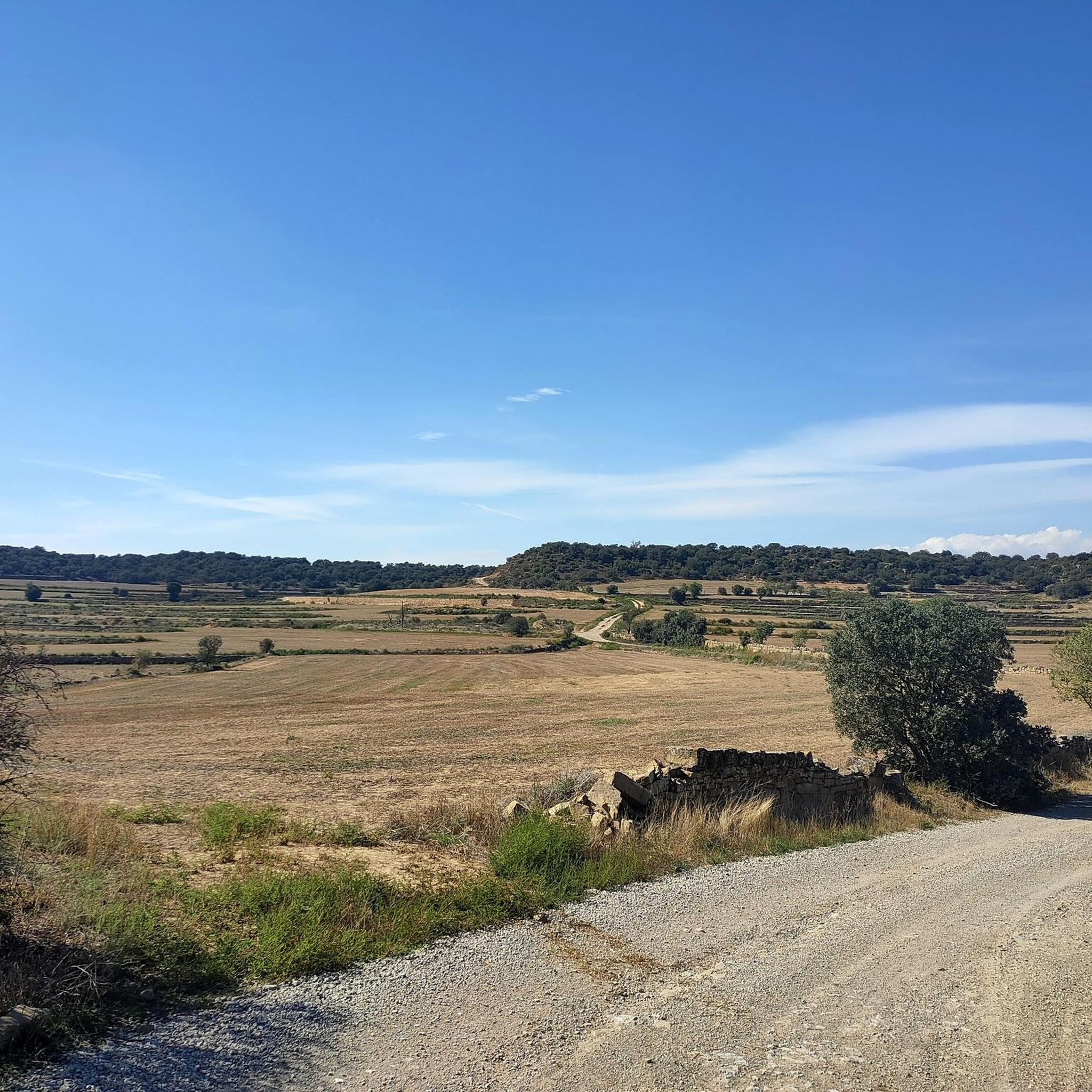
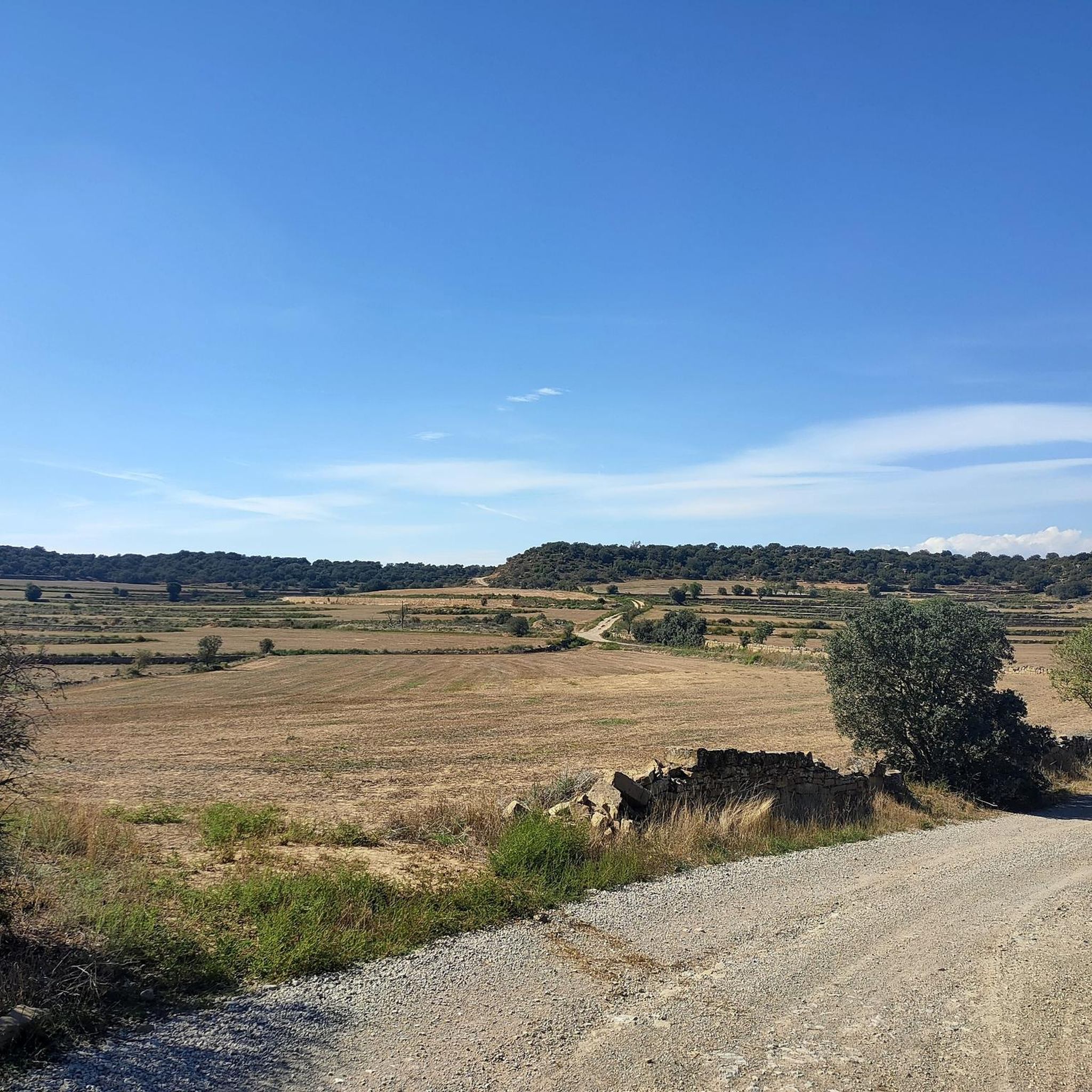
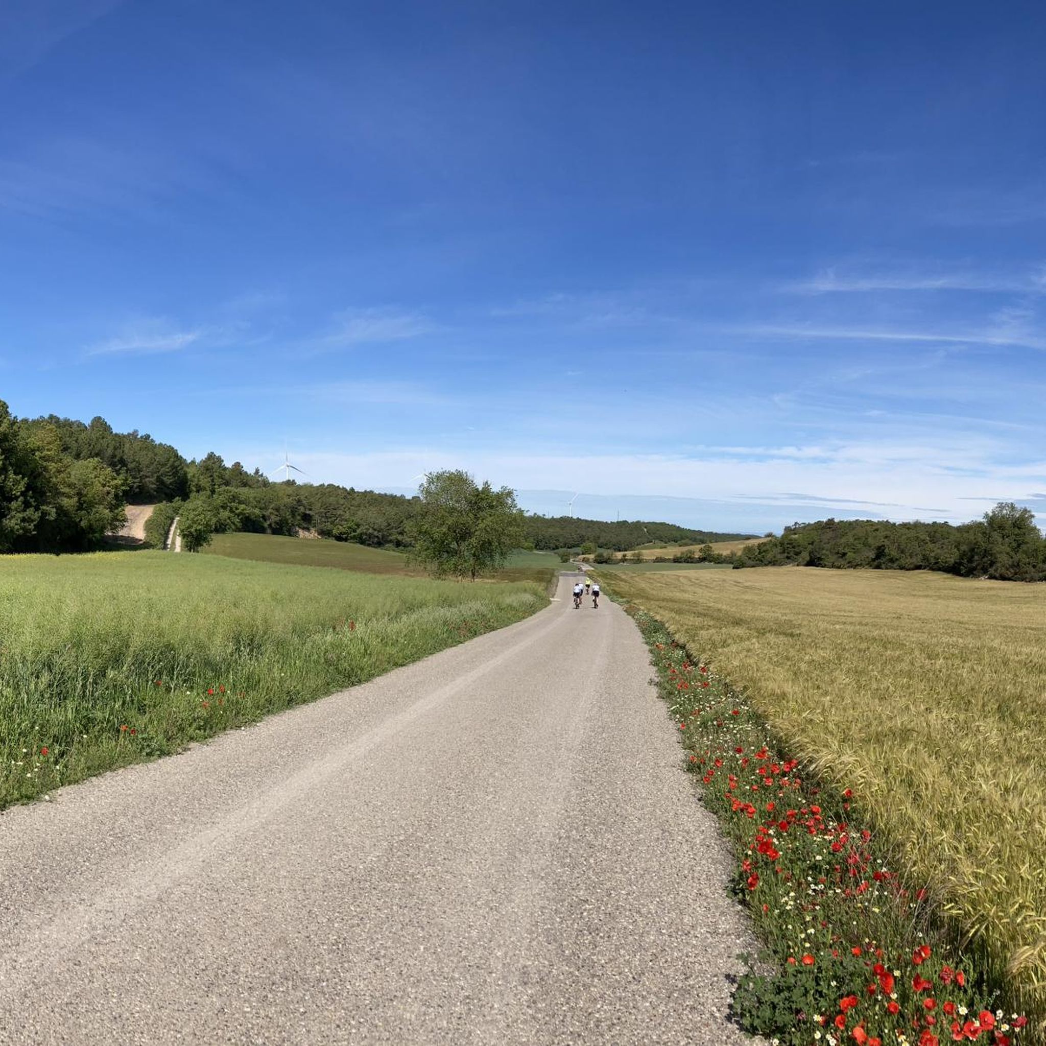
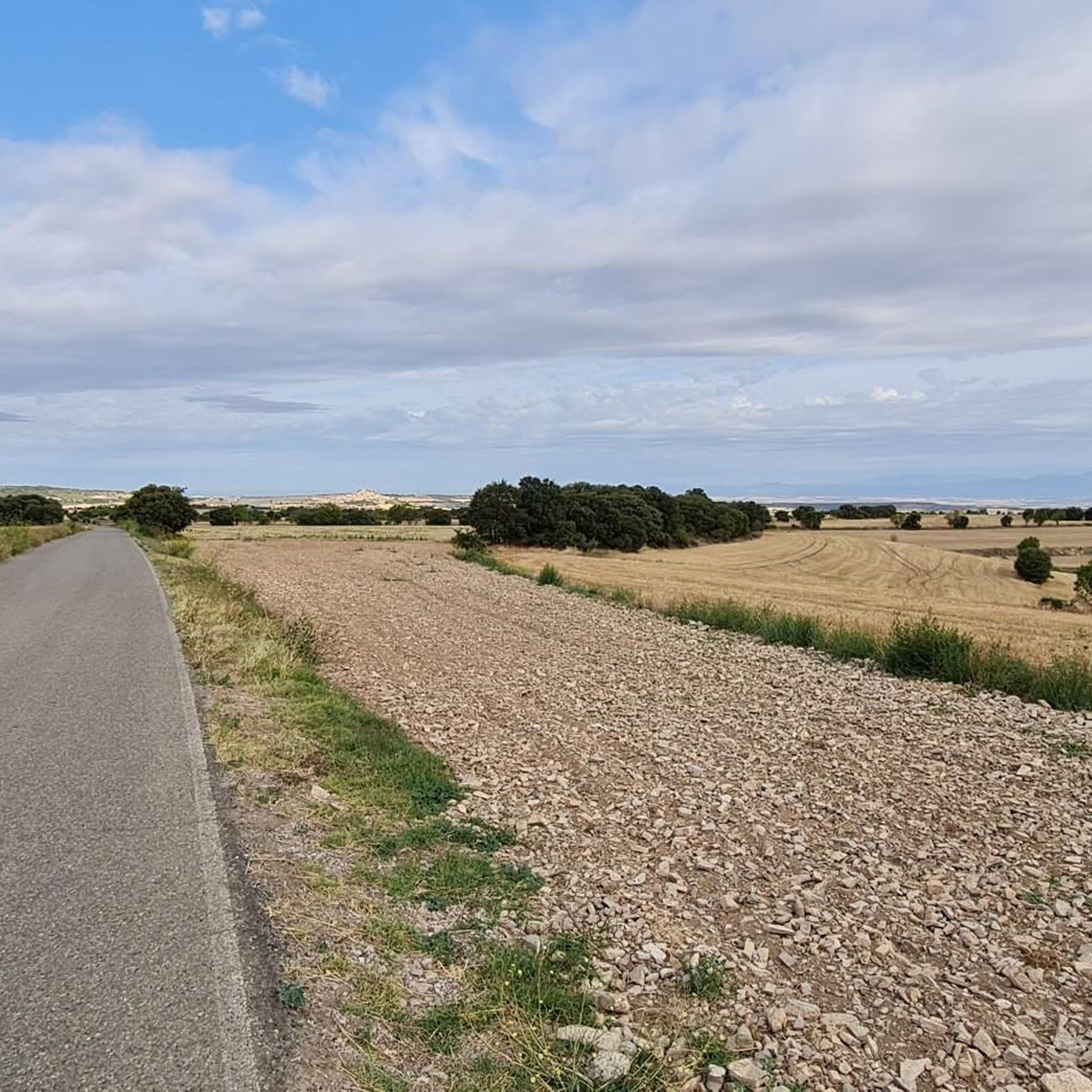
Mountain bike trails around Torrefeta i Florejacs are characterized by gently rolling hills and extensive farmlands, creating a distinctive "steppe mosaic" landscape. The terrain offers varied routes, with slight undulations and more defined valleys in the northern parts, providing options for different skill levels. This region in Catalonia's Segarra area combines accessible natural features with historical charm, making it suitable for mountain biking.
Best mountain bike trails around Torrefeta I Florejacs
- The most popular mountain bike trail is Castillo de…
Last updated: May 20, 2026
5.0
(4)
44
riders
49.7km
04:00
550m
550m
Moderate mountain bike ride. Good fitness required. Suitable for all skill levels.
5.0
(3)
29
riders
45.4km
03:30
440m
440m
Moderate mountain bike ride. Good fitness required. Suitable for all skill levels.

Sign up for free
18
riders
Hard mountain bike ride. Very good fitness required. Suitable for all skill levels.
5.0
(4)
6
riders
34.0km
02:41
350m
350m
Moderate mountain bike ride. Good fitness required. Suitable for all skill levels.
5.0
(1)
5
riders
41.1km
03:28
600m
600m
Moderate mountain bike ride. Good fitness required. Suitable for all skill levels.
Get access to more routes and recommendations from other explorers.
Sign up for free
Already have an account?
Our route recommendations are based on thousands of hikes, rides, and runs completed by other people on komoot.
Start today with a free account
Your next adventure awaits.
Login or Signup

Tips from the Community

Fanshop of the Marquez brothers ! Worth the visit for all motoGP fans
0
0

The Canal d'Urgell is a hydraulic infrastructure intended for irrigation, which carries water from the Segre River to the fields of crops in different municipalities in the counties of Urgell, Pla d'Urgell, Noguera, Segrià and Garrigues, with a total irrigated area of about 70,000 hectares and serving about 77,000 inhabitants. This infrastructure is on the left bank of the Segre River. It begins in the Segre River downstream of the town of Ponts and after traveling about 144 km it ends its route in the town of Montoliu de Lleida. Source: Wikipedia.
0
0
Sports area for kayaking and rafting on the Segre River, near the Roca del Call Park, in the town of Ponts. It is also the starting point of the Ranxo Gravel walk.
0
0
Small wooden bridge that allows you to cross the Llobregós at the level of its confluence with the Segre River.
0
0
Point with a panoramic view of the small town of Florejacs.
0
0
It begins on the Segre River downstream from the town of Ponts and after traveling about 144 km it ends its route in the town of Montoliu de Lleida.
0
0
Small town located on top of a hill, abandoned, and part of the La Noguera region.
0
0

Frequently Asked Questions
How many mountain bike trails are available in Torrefeta i Florejacs?
There are over 200 mountain bike trails around Torrefeta i Florejacs, offering a wide range of options for different skill levels and preferences. The komoot community has explored more than 200 routes in the area.
What is the typical terrain like for mountain biking in Torrefeta i Florejacs?
The terrain is characterized by gently rolling hills and extensive farmlands, creating a distinctive 'steppe mosaic' landscape. While generally less mountainous, there are slight undulations and more defined valleys in the northern parts, providing varied routes. You'll mostly ride through agricultural fields and traditional villages.
What are the difficulty levels of mountain bike trails in Torrefeta i Florejacs?
The trails cater to various skill levels. You'll find approximately 38 easy routes, 149 moderate routes, and 14 more difficult trails. This variety ensures that both beginners and experienced riders can find suitable options.
Are there any challenging mountain bike routes for experienced riders?
Yes, for experienced riders seeking a challenge, there are 14 difficult routes. One such route is the Start of the Canal d'Urgell – Abandoned Village of Claret loop from Guissona, which covers 46.2 miles (74.3 km) with significant elevation changes.
Can I find moderate mountain bike trails that offer a good balance of distance and elevation?
Absolutely. The majority of trails, around 149, are classified as moderate. A great example is the Castle of Sitges – Les Pallargues Castle loop from Guissona, a 21.0 miles (33.9 km) route with a balanced elevation gain of about 346 meters, taking around 2 hours 41 minutes to complete.
What is the best time of year for mountain biking in Torrefeta i Florejacs?
Torrefeta i Florejacs experiences a dry, continental climate with low rainfall. Spring and autumn are generally ideal, offering pleasant temperatures and the chance to see the changing colors of the fields. Summers can be hot, while winters are typically mild but can be chilly.
Are there mountain bike routes that pass by historical landmarks or points of interest?
Yes, many routes weave through the region's rich history. You can explore trails that pass by ancient castles and traditional villages. For instance, the Castillo de Meià – Monastery of Sant Ramon Nonat loop from Guissona will take you past the Monastery of Sant Ramon Nonat and other historical sites.
What kind of attractions can I see along the mountain bike trails?
Beyond the natural steppe mosaic landscape, you'll encounter numerous historical attractions. Many routes pass by well-preserved old castles like Florejacs Castle, Castell de l'Aranyó, and Castillo de Montcortés. You can also discover charming traditional villages and historical sites such as Montfalcó Murallat.
Are there any family-friendly mountain bike trails in the area?
Given the gently rolling hills and the presence of numerous easy and moderate routes, many trails in Torrefeta i Florejacs are suitable for families. The less mountainous terrain provides a more approachable experience for riders of varying ages and abilities.
What do other mountain bikers enjoy the most about mountain biking in Torrefeta i Florejacs?
The area is highly rated by the komoot community, with an average score of 4.6 stars from over 80 reviews. Reviewers often praise the tranquil agricultural landscapes, the opportunity to combine physical activity with cultural exploration of historical villages and castles, and the extensive network of varied trails suitable for different skill levels.
Is it possible to find mountain bike routes that are circular?
Yes, many of the mountain bike routes in Torrefeta i Florejacs are designed as loops, allowing you to start and finish in the same location. This is convenient for planning your ride, especially if you're driving to a trailhead.
Are there any specific viewpoints or scenic spots along the trails?
The region offers panoramic views of the Segarra region from various elevated points within its villages. The extensive farmlands create a distinctive 'steppe mosaic' landscape, which changes colors throughout the seasons, providing picturesque scenery along many routes.
Most popular routes around Torrefeta I Florejacs
Most popular attractions around Torrefeta I Florejacs

Get inspired with the komoot mobile app


Explore more
Browse the best MTB trails in other regions.
