The best road cycling routes around Rolavská vrchoviště
4.6
(36)
794
riders
36
rides
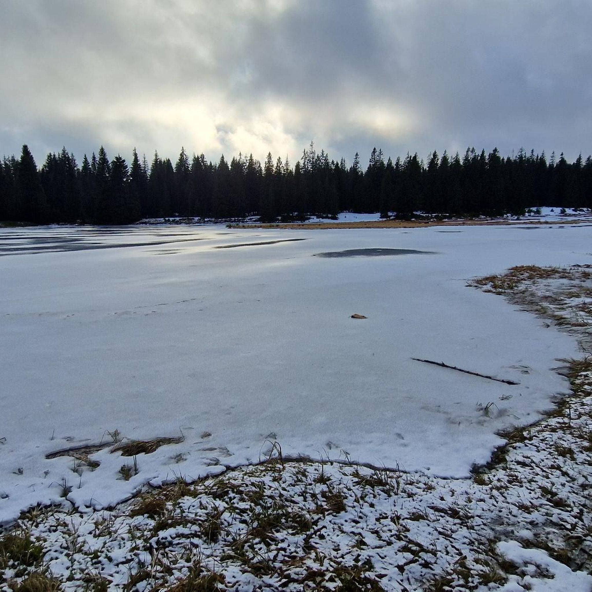
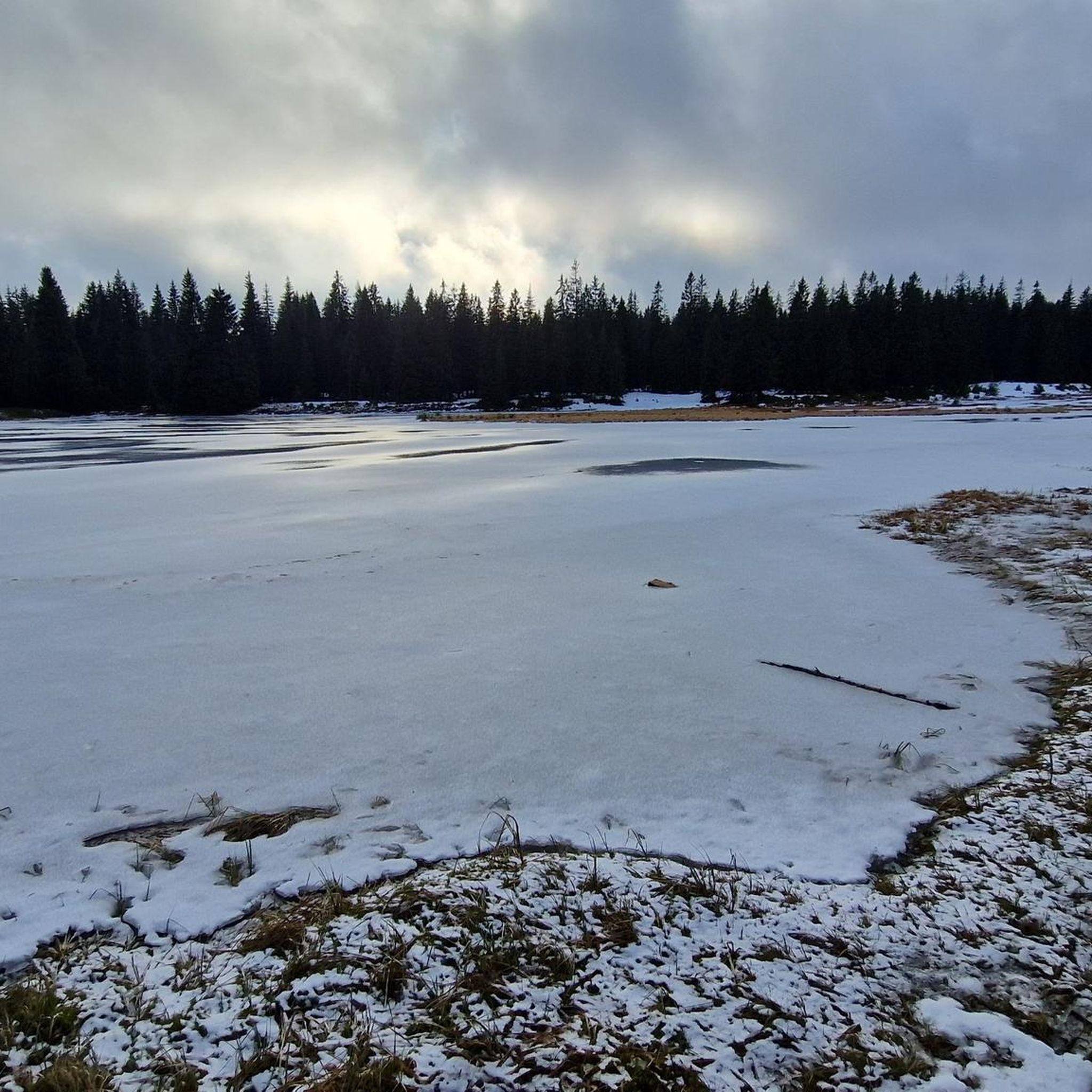
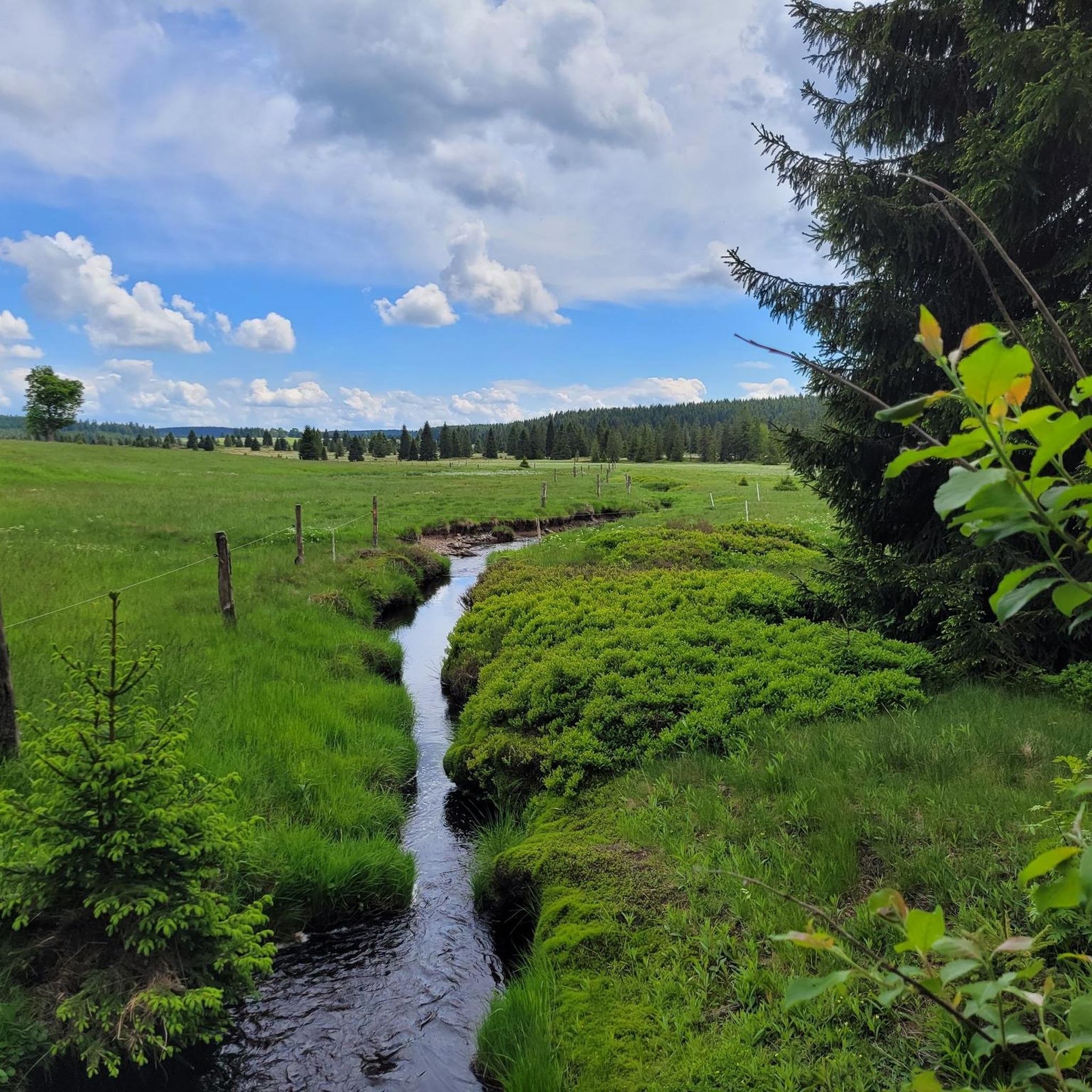
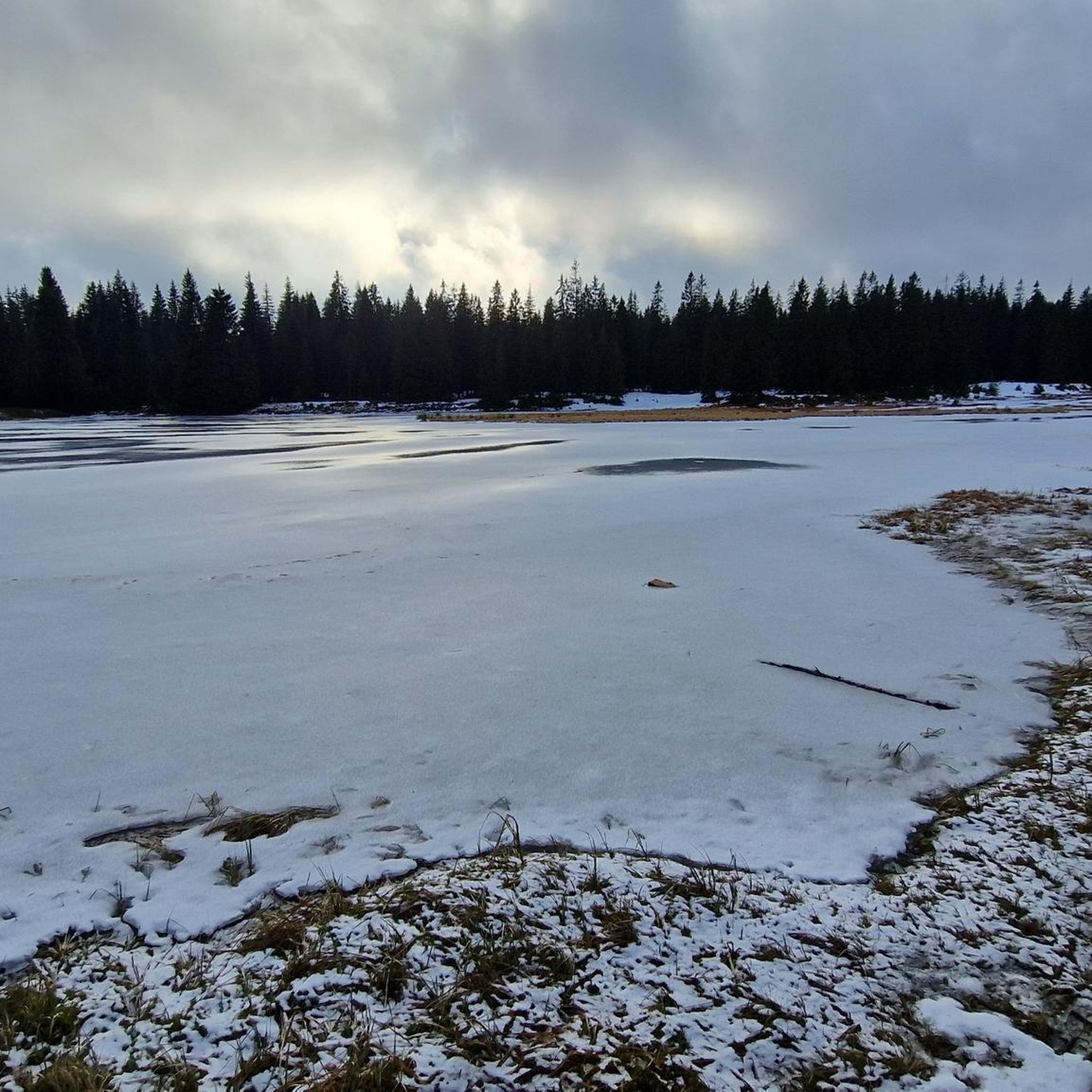
Road cycling routes around Rolavská vrchoviště traverse a plateau of the Ore Mountains, characterized by extensive mountain peat bogs and waterlogged spruce forests at altitudes between 880–950 meters. The region's undulating terrain provides varied challenges for road cyclists, with routes winding through unique moorland landscapes and past historical sites. This area offers a diverse backdrop for rides, combining physical activity with natural exploration within the Karlovy Vary region.
Best road cycling routes around Rolavská vrchoviště
- The most popular road cycling…
Last updated: July 10, 2026
24
riders
62.1km
03:00
880m
880m
Moderate road ride. Good fitness required. Some segments of this route may be unpaved and difficult to ride.
5.0
(1)
20
riders
33.4km
01:44
590m
590m
Moderate road ride. Good fitness required. Some segments of this route may be unpaved and difficult to ride.

Sign up for free
12
riders
87.2km
04:22
1,410m
1,410m
Hard road ride. Very good fitness required. Mostly well-paved surfaces and easy to ride.
7
riders
54.9km
02:49
940m
940m
Hard road ride. Very good fitness required. Some segments of this route may be unpaved and difficult to ride.
7
riders
65.1km
03:18
1,090m
1,090m
Hard road ride. Very good fitness required. Mostly well-paved surfaces and easy to ride.
Get access to more routes and recommendations from other explorers.
Sign up for free
Already have an account?
Our route recommendations are based on thousands of hikes, rides, and runs completed by other people on komoot.
Start today with a free account
Your next adventure awaits.
Login or Signup

Tips from the Community

a very beautiful corner
0
0

World's Largest Freestanding Candle Arch On December 15, 2012, the world's largest freestanding candle arch was inaugurated in Johanngeorgenstadt at the 20th Original Johanngeorgenstadt Candle Arch Festival. This giant is 25 meters wide and, including the candles, 14.5 meters high, and consists of 700 tons of reinforced concrete and 15 tons of stainless steel. The new attraction, as well as the giant pyramid, was donated by Johanngeorgenstadt entrepreneur Siegfried Ott. - Symbols in the candle arch: ° Wonder flower represents the legends of the Ore Mountains. ° Lacemaker represents one aspect of Ore Mountain folk art. ° Miners represent mining in Saxony. ° Upward-reaching flower signifies that folk art found fertile ground in the Ore Mountains. ° Crossed swords symbolize the Free State of Saxony. The horseshoe is a reminder that a mountain blacksmith invented the Schwibbogen (candle arch). The hammer and chisel are further symbols of mining. The light angel, woodcarver, and incense smoker represent the folk art of the Ore Mountains.
0
0

The largest free-standing candle arch in the world is located in Johanngeorgenstadt. It is 25 m wide, 14.5 m high and consists of 700 tons of reinforced concrete and 15 tons of stainless steel.
1
0

Impressive building - including the Great Pyramid next door.
0
0

romantic bridge trip ... unfortunately too short, but as beautiful as in the Alps
0
0

More than just the town hall: Here you can have a delicious breakfast and stock up on provisions before the tour! And very cheaply.
0
1

Very worth seeing, you have to see it
0
0
Very worth seeing, you have to see it
0
0
Frequently Asked Questions
How many road cycling routes are available in Rolavská vrchoviště?
There are over 30 road cycling routes available in Rolavská vrchoviště, offering a diverse range of experiences for cyclists. These routes are highly rated by the komoot community, with an average score of 4.6 stars.
What kind of terrain can I expect when road cycling in Rolavská vrchoviště?
The terrain in Rolavská vrchoviště is characterized by the undulating landscape of the Ore Mountains. You'll encounter varied challenges, with routes winding through extensive mountain peat bogs and waterlogged spruce forests at altitudes between 880–950 meters. Expect a mix of ascents and descents, providing a rewarding experience for road cyclists.
Are there road cycling routes suitable for beginners or families in Rolavská vrchoviště?
Yes, Rolavská vrchoviště offers routes suitable for various ability levels. While the region's undulating terrain provides challenges, there are 3 routes classified as easy and 15 as moderate, which can be suitable for less experienced cyclists or families looking for a more relaxed ride. Always check the route details for elevation and distance to ensure it matches your group's capabilities.
What interesting landmarks or natural features can I see along the road cycling routes?
Road cycling routes in Rolavská vrchoviště offer a blend of natural beauty and historical intrigue. You can pass by unique natural monuments such as the Rolavská Vrchoviště Raised Bog, the source of the Rolava River, and the picturesque Rolavský Pond. Historical sites include the intriguing Ruins of the Rolava tin mine and POW camp, offering a glimpse into the region's past.
Are there any challenging road cycling routes for experienced riders?
Absolutely. For experienced road cyclists seeking a challenge, Rolavská vrchoviště features 17 routes classified as difficult. An example is the Mühlleithen Pass summit (860 m) – Hefekloß Pass Summit loop from Nové Hamry, an 87.2 km trail leading through higher elevations of the Ore Mountains with significant climbs.
What do other road cyclists enjoy most about cycling in Rolavská vrchoviště?
The komoot community highly rates road cycling in Rolavská vrchoviště, with an average score of 4.6 stars from over 30 reviews. Cyclists often praise the unique moorland landscapes, the varied terrain that offers both scenic views and physical challenges, and the opportunity to combine physical activity with natural and historical exploration.
Are there any circular road cycling routes in the area?
Yes, many of the routes in Rolavská vrchoviště are designed as loops, allowing you to start and end your ride in the same location. For example, the popular Vřesoviště Natural Monument – Kraslice Town Hall loop from Nové Hamry is a moderate 62.1 km circular route that showcases the unique moorland landscape.
What is the best time of year to go road cycling in Rolavská vrchoviště?
Given its altitude (880–950 meters) and location in the Ore Mountains, the best time for road cycling in Rolavská vrchoviště is typically from late spring through early autumn. During these months, the weather is generally more favorable, and the unique natural features of the peat bogs and forests are at their most accessible and scenic. Winter cycling might be challenging due to snow and ice.
Are there any specific routes that pass through significant natural monuments?
Many routes offer glimpses of the region's natural heritage. For instance, the Vřesoviště Natural Monument – Kraslice Town Hall loop from Nové Hamry provides views of the unique moorland landscape, which is characteristic of the area's peat bogs. You can also find routes that pass near the Rolava Peat Bog and Reservoir.
Can I find routes that explore both natural beauty and historical sites?
Yes, the region is rich in both. Routes often combine the natural allure of the peat bogs and forests with historical sites. For example, some paths might lead you near the Ruins of the Rolava tin mine and POW camp, offering a unique blend of outdoor activity and historical exploration.
What is a popular moderate road cycling route in the area?
A popular moderate route among local road cyclists is the Breitenbach Valley – Potůčky Ski Slope loop from Johanngeorgenstadt. This 33.4 km path features varied terrain through valleys and past ski slopes, making it an engaging ride without extreme difficulty.
Most popular routes around Rolavská vrchoviště
Most popular attractions around Rolavská vrchoviště

Get inspired with the komoot mobile app


Explore more
Browse the best Road cycling routes in other regions.
