The best walks and hikes around Buborn
4.5
(1632)
5,212
hikers
409
hikes
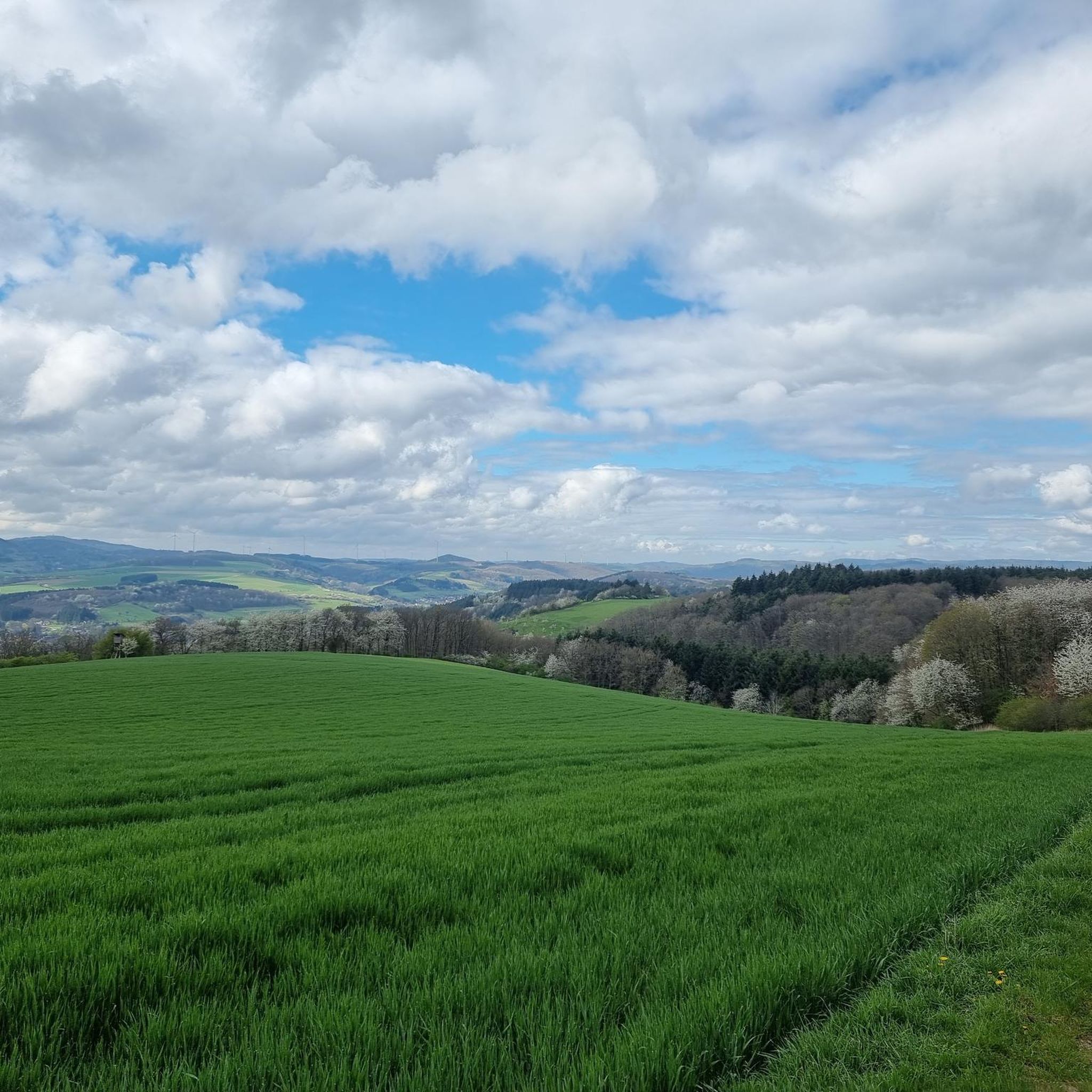
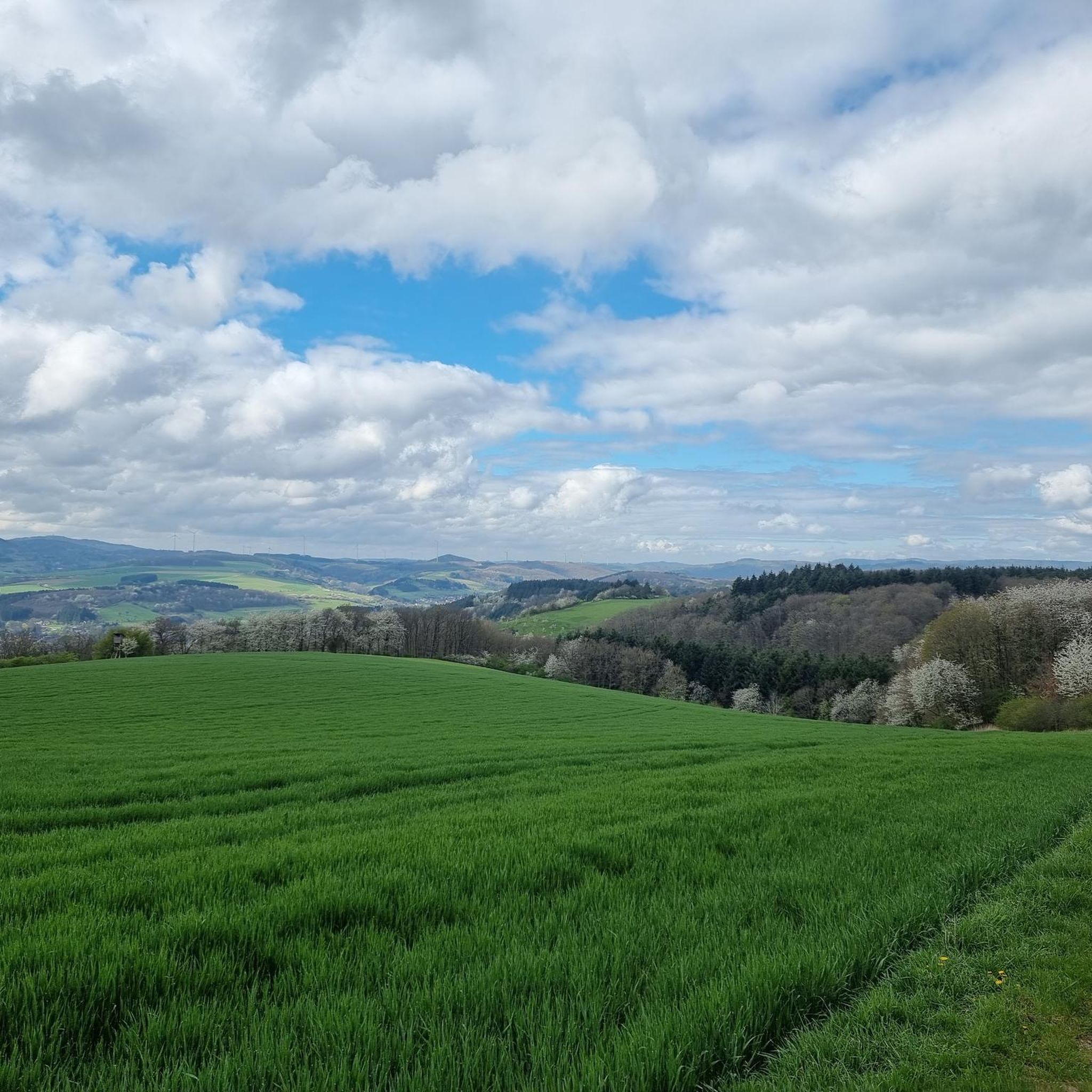
Hiking around Buborn offers a network of trails through the local landscape. The region features varied terrain suitable for different hiking abilities. Trails often connect villages and points of interest, providing diverse experiences for outdoor enthusiasts.
Best hiking trails around Buborn
- The most popular hiking route is Bench at Steinhagen – Hinzweilerhütte loop from Offenbach-Hundheim, a 9.1 miles (14.6 km) trail that takes 4 hours 15 minutes to complete. This moderate route features varied elevation changes.
- Another top favourite…
Last updated: October 3, 2026
5.0
(1)
13
hikers
14.6km
04:15
390m
390m
Moderate hike. Good fitness required. Easily-accessible paths. Suitable for all skill levels.
4.5
(8)
20
hikers
Easy hike. Great for any fitness level. Easily-accessible paths. Suitable for all skill levels.

4.2
(6)
23
hikers
Moderate hike. Good fitness required. Easily-accessible paths. Suitable for all skill levels.
7
hikers
Moderate hike. Good fitness required. Easily-accessible paths. Suitable for all skill levels.
3.9
(7)
17
hikers
4.16km
01:03
10m
10m
Easy hike. Great for any fitness level. Easily-accessible paths. Suitable for all skill levels.
Get access to more routes and recommendations from other explorers.
Already have an account?
Our route recommendations are based on thousands of hikes, rides, and runs completed by other people on komoot.
Start today with a free account
Your next adventure awaits.


Tips from the Community

A place of devotion, of contemplation, over 1000 years old - magnificent view into the Glantal
0
0

Terminal of the Lautertalbahn from Kaiserslautern main station to here.
2
0

The Protestant church in the Niedereisenbach district was built in 1336. On the eastern side is the Romanesque choir tower, whose bell tower presumably dates from a more recent period. In 1964, a stair tower was built next to the choir tower, leading to the bell tower. Shortly afterwards, between 1976 and 1978, the originally flat ceiling in the interior was replaced with a stepped wooden ceiling. Between the nave and the choir, there is a pointed arch that leads into two rectangular pillars. Source and more details: https://www.regionalgeschichte.net/pfalz/glanbruecken/kulturdenkmaeler/evangelische-kirche.html
1
0
Here you can rest and learn about the history of the Glantalbahn.
1
0
There are three large insect hotels close to each other.
0
0
Today, this area is forest, but the vineyard walls indicate that vineyards once stood here.
1
0

After the Offenbach cemetery, a narrow hiking trail (marked with a "W", approx. 500m) leads towards Wiesweiler. This is difficult to walk due to wild growth and fallen trees. The path is in very poor condition!!!
2
1

Old bridge with round arches and statue
3
0
Frequently Asked Questions
How many hiking trails are available around Buborn?
Buborn offers a comprehensive network of over 420 hiking routes. This includes a wide variety of trails suitable for different preferences and fitness levels.
What is the general difficulty level of hiking in Buborn?
The trails around Buborn cater to various abilities. You'll find approximately 190 easy routes, 214 moderate routes, and 16 more challenging trails, ensuring there's something for everyone.
What do other hikers say about the trails in Buborn?
The komoot community highly rates the hiking experience in Buborn, with an average score of 4.5 stars from over 1400 reviews. Hikers often praise the varied terrain and the well-connected network of local paths.
Are there options for longer or shorter hikes in Buborn?
Yes, Buborn offers a good range of hike lengths. For example, the easy Freifrauen Cave (Fri-Fra Hole) – Hirsauer Chapel loop from Offenbach-Hundheim is about 4.2 miles (6.7 km) and takes around 1 hour 50 minutes. If you're looking for a longer adventure, the moderate Bench at Steinhagen – Hinzweilerhütte loop from Offenbach-Hundheim covers 9.1 miles (14.6 km) and typically takes over 4 hours.
Are there any family-friendly hiking routes in Buborn?
Many of the 190 easy routes in Buborn are suitable for families. These trails often feature gentler gradients and shorter distances, perfect for an outing with children. The Freifrauen Cave (Fri-Fra Hole) – Hirsauer Chapel loop from Offenbach-Hundheim is a good example of an easy, accessible route.
Are there any circular walks available in Buborn?
Yes, many of the popular routes in Buborn are circular, allowing you to start and end at the same point. Examples include the Historic Lauter Bridge – St. Josef Chapel Lauterecken loop from Wiesweiler and the Lauterecken-Grumbach Station – Black Sphere Fountain loop from Offenbach-Hundheim.
What kind of landmarks or points of interest can I see while hiking in Buborn?
Buborn's hiking trails often connect to various points of interest. You might encounter natural features like the Laufhauser Weiher (Poggrech Weiher), or enjoy panoramic views from spots like the Selberg Tower or Königsberg Summit.
Are there any huts or shelters along the trails in Buborn?
Yes, the area around Buborn features several huts and shelters that can be useful during your hike. Notable examples include the Dümmler Hut and the Rutsweiler Shelter on the North Palatinate Trail.
What is the best time of year to go hiking in Buborn?
While specific seasonal data isn't available, the varied terrain of Buborn makes it enjoyable for hiking during most of the year. Spring and autumn typically offer pleasant temperatures and beautiful scenery, while summer provides longer daylight hours. Winter hiking is also possible, though conditions may vary.
Are there any trails that explore historical sites or local culture?
Yes, some routes in Buborn incorporate local landmarks. For instance, the Historic Lauter Bridge – St. Josef Chapel Lauterecken loop from Wiesweiler explores the area around the Lauter river and local historical points of interest.
Are there any advanced or more challenging hiking routes in Buborn?
For experienced hikers seeking a challenge, Buborn offers 16 difficult routes. These trails typically feature more significant elevation changes and longer distances, providing a more strenuous workout and rewarding views.
Most popular attractions around Buborn

Get inspired with the komoot mobile app


Explore more
Browse the best Hikes in other regions.
