The best cycling routes around Manchita
11
riders
6
rides
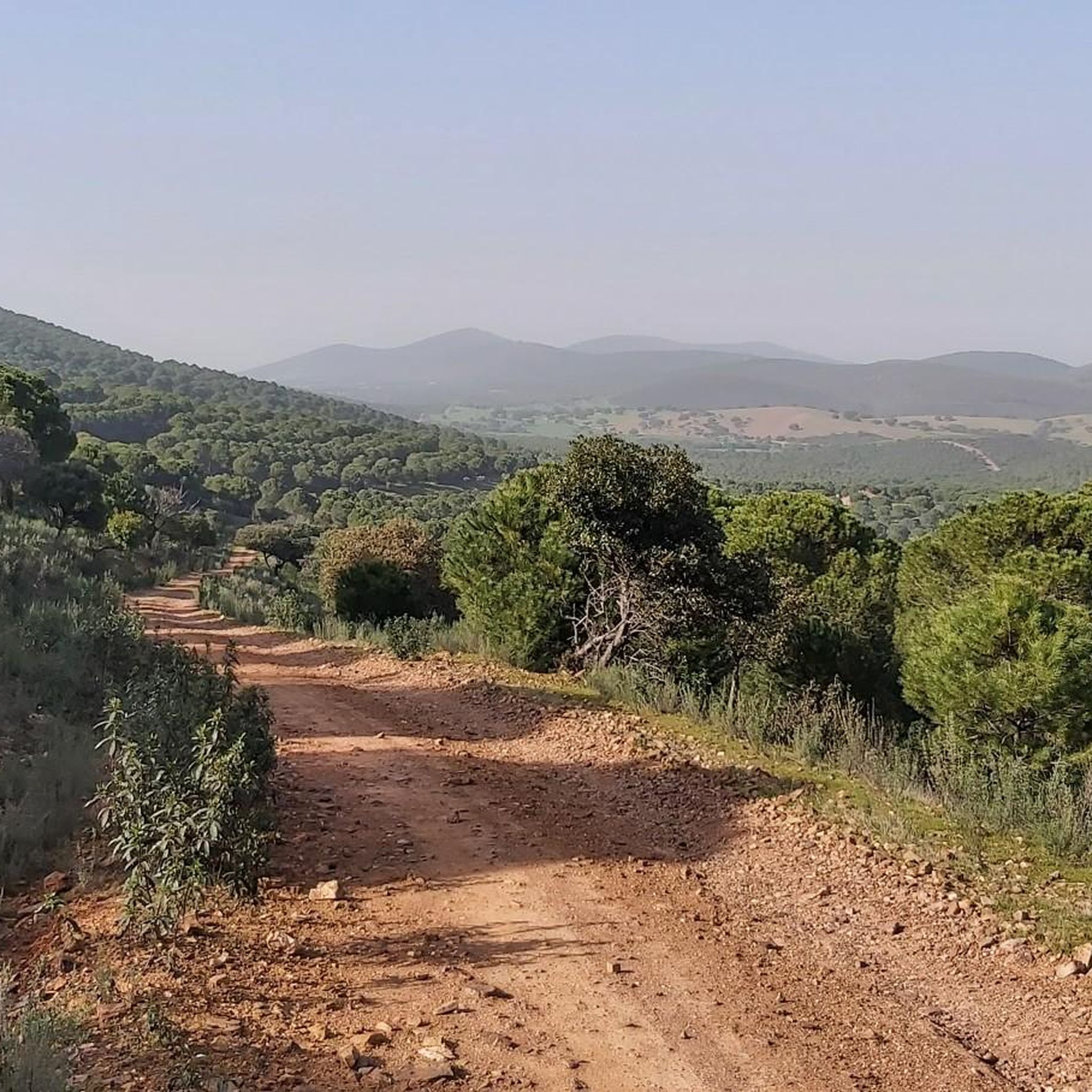
Touring cycling routes around Manchita traverse a landscape characterized by river valleys, agricultural plains, and areas around reservoirs. The region, part of Extremadura, Spain, features varied terrain with moderate elevation changes, suitable for longer cycling excursions. Routes often connect small towns and rural areas, providing a mix of open country and local points of interest.
Best touring cycling routes around Manchita
- The most popular touring cycling route is Río Guadámez Trail – Ortiga Bridge loop from Valdefuentes, a 45.4…
Last updated: June 27, 2026
2
riders
25.0km
01:54
180m
180m
Moderate bike ride. Good fitness required. Mostly paved surfaces. Suitable for all skill levels.
2
riders
43.3km
03:35
390m
390m
Moderate bike ride. Good fitness required. Mostly paved surfaces. Suitable for all skill levels.

Sign up for free
2
riders
46.9km
04:04
470m
470m
Hard bike ride. Very good fitness required. Mostly paved surfaces. Suitable for all skill levels.
2
riders
6.45km
00:26
20m
30m
Easy bike ride. Great for any fitness level. Mostly paved surfaces. Suitable for all skill levels.
2
riders
Hard bike ride. Very good fitness required. Mostly paved surfaces. Suitable for all skill levels.
Our route recommendations are based on thousands of hikes, rides, and runs completed by other people on komoot.
Start today with a free account
Your next adventure awaits.
Login or Signup
Popular around Manchita
Tips from the Community

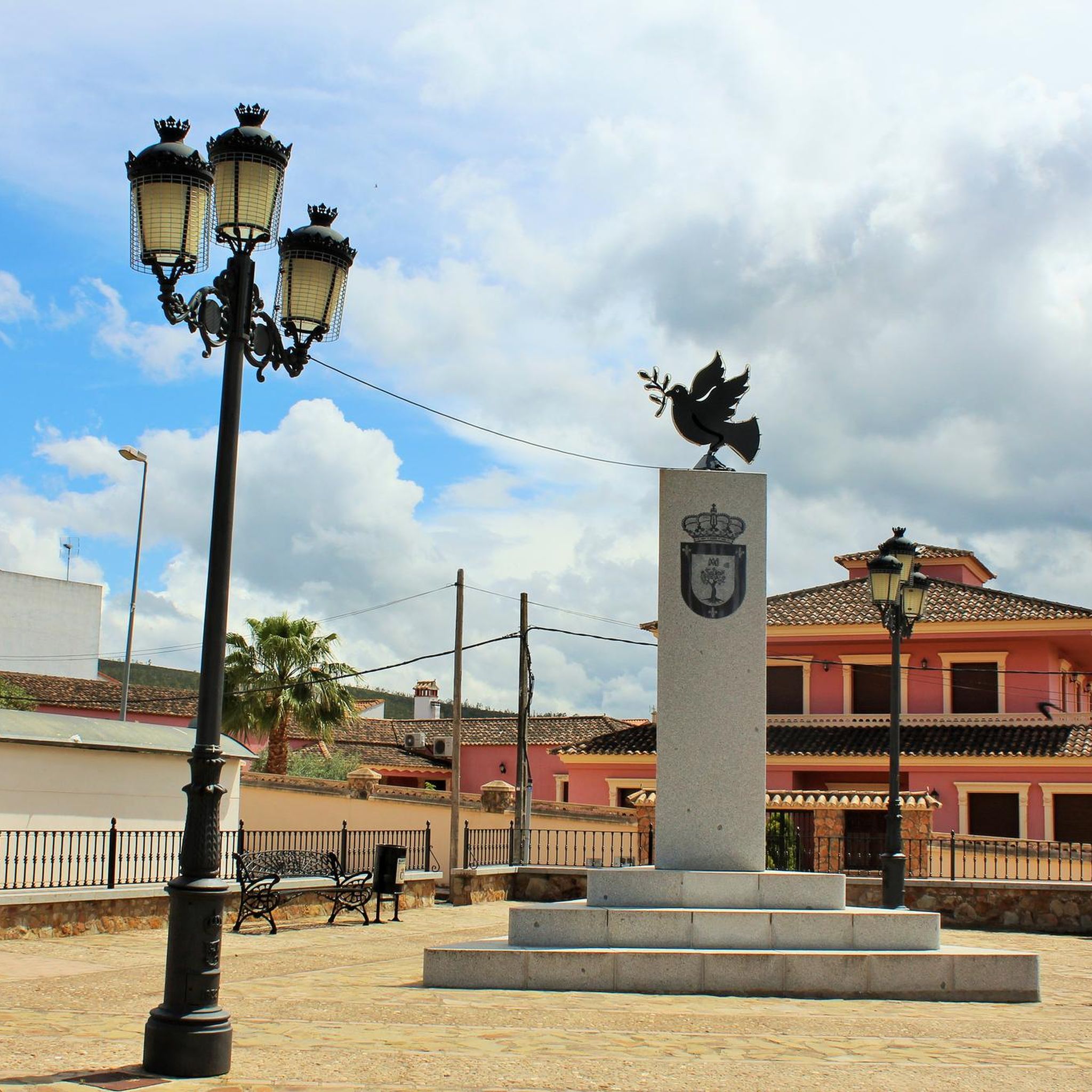
Small town with just under half a thousand people living there and located very close to Guareña.
2
0
Nucleus that is located to the south of the banks of the Río Garona and close to the small mountains that are near the Embalse de Alange.
2
0
Beautiful and old bridge that is in this area of the Río Guadámez and that helps us cross to the other side of the stream.
0
0
Small town located in the first rounded mountains where mountain ranges such as the Sierra de la Gangosa or Utrera begin, in an area where the Río Chaparral crosses.
0
0
Arriving in the town of Alange and with the Alange Reservoir at its feet, from a distance, you can see the center with the hill where the Culebra Castle resides. This elevated construction is visible above the rest of the territory.
0
0
Arriving in the town of Alange and with the Alange Reservoir at its feet, from a distance, you can see the center with the hill where the Culebra Castle resides. This elevated construction is visible above the rest of the territory.
0
0
Frequently Asked Questions
How many touring cycling routes are available around Manchita?
Komoot features 5 touring cycling routes around Manchita. These routes traverse river valleys, agricultural plains, and areas around reservoirs, offering varied terrain for longer excursions.
What is the typical difficulty level of touring cycling routes near Manchita?
Most touring cycling routes around Manchita are classified as difficult, with 4 out of 5 routes falling into this category. There is also one moderate route available. These routes often feature significant elevation gains.
Are there any easy touring cycling routes for beginners around Manchita?
Currently, there are no touring cycling routes specifically classified as easy for beginners in the immediate Manchita area. The available routes range from moderate to difficult, often involving varied terrain and elevation changes.
What are some challenging touring cycling routes in the Manchita area?
For a challenging ride, consider the Río Guadámez Trail – Ortiga Bridge loop from Valdefuentes, which is 45.4 miles (73.1 km) long and follows the Guadámez River. Another difficult option is the Guareña – Manchita loop from Guareña, covering 27.4 miles (44.1 km) through rural roads.
Are there circular touring cycling routes available around Manchita?
Yes, several routes around Manchita are designed as loops. Examples include the Río Guadámez Trail – Ortiga Bridge loop from Valdefuentes, the Guareña – Manchita loop from Guareña, and the Pantano de San Roque loop from Guareña.
What kind of landscapes can I expect to see on a touring bike ride near Manchita?
Touring cyclists around Manchita can expect a diverse landscape featuring river valleys, expansive agricultural plains, and scenic areas surrounding reservoirs. The broader La Mancha region also offers varied terrain, from high plains to rugged mountain ranges and tranquil rivers.
What are some scenic viewpoints or points of interest along touring cycling routes in Manchita?
Along the routes, you might encounter natural features like the Río Guadámez Trail and the Sierra de la Utrera. The Views of Medellín Castle – Medellín Castle loop from Don Benito offers historical sights. The routes also connect small towns and rural areas, providing glimpses into local life.
Are there any routes that pass by reservoirs or water bodies?
Yes, the Pantano de San Roque loop from Guareña specifically leads through the area surrounding the San Roque Reservoir. Many routes in the region are characterized by river valleys and reservoir areas, offering pleasant waterside views.
What is the best season for touring cycling around Manchita?
While specific seasonal recommendations are not provided, the region's climate suggests that spring and autumn would likely offer the most comfortable temperatures for touring cycling. Summers can be very hot in Extremadura, and winters can be cooler, though often mild enough for cycling.
What cultural or historical attractions can be explored while touring cycling in the wider La Mancha region?
Beyond Manchita, the broader La Mancha region is rich in cultural and historical sites. Cyclists can explore the iconic windmills famously associated with Don Quixote, visit historic cities like Toledo and Cuenca with its unique 'Hanging Houses,' and discover various archaeological sites and ancient ruins.
How long does a typical touring cycling route around Manchita take to complete?
The duration of routes varies. For example, the Río Guadámez Trail – Ortiga Bridge loop from Valdefuentes typically takes around 6 hours 36 minutes, while the Pantano de San Roque loop from Guareña can be completed in about 4 hours 3 minutes.
What are the distances of touring cycling routes around Manchita?
The routes around Manchita vary in length, catering to different endurance levels. Distances range from approximately 27.4 miles (44.1 km) for the Guareña – Manchita loop from Guareña to about 45.4 miles (73.1 km) for the Río Guadámez Trail – Ortiga Bridge loop from Valdefuentes.
Most popular routes around Manchita
Most popular attractions around Manchita

Get inspired with the komoot mobile app


Explore more
Browse the best Cycling routes in other regions.
