The best walks and hikes around Wattenmeer nördlich des Hindenburgdammes
4.6
(10034)
55,867
hikers
1,145
hikes
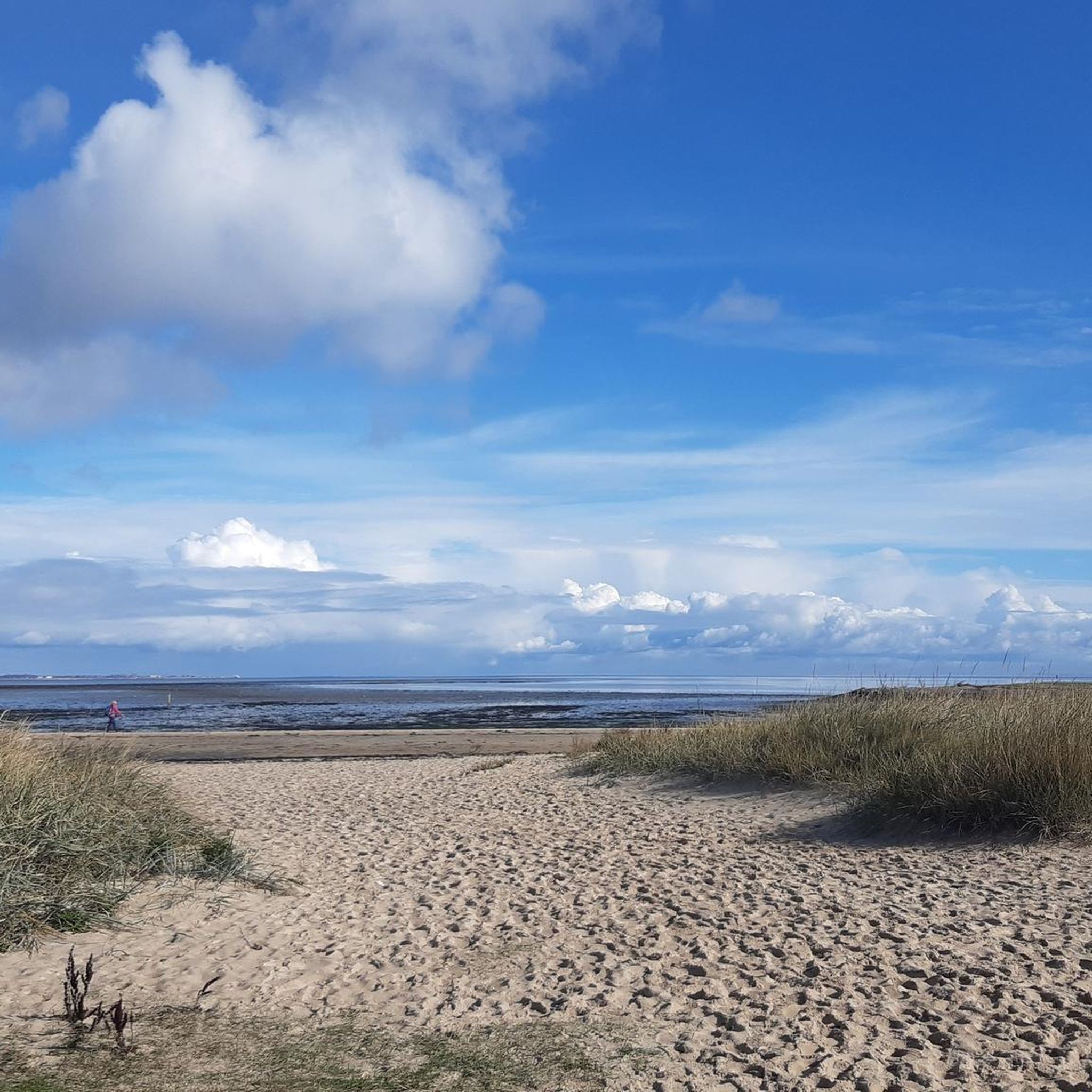
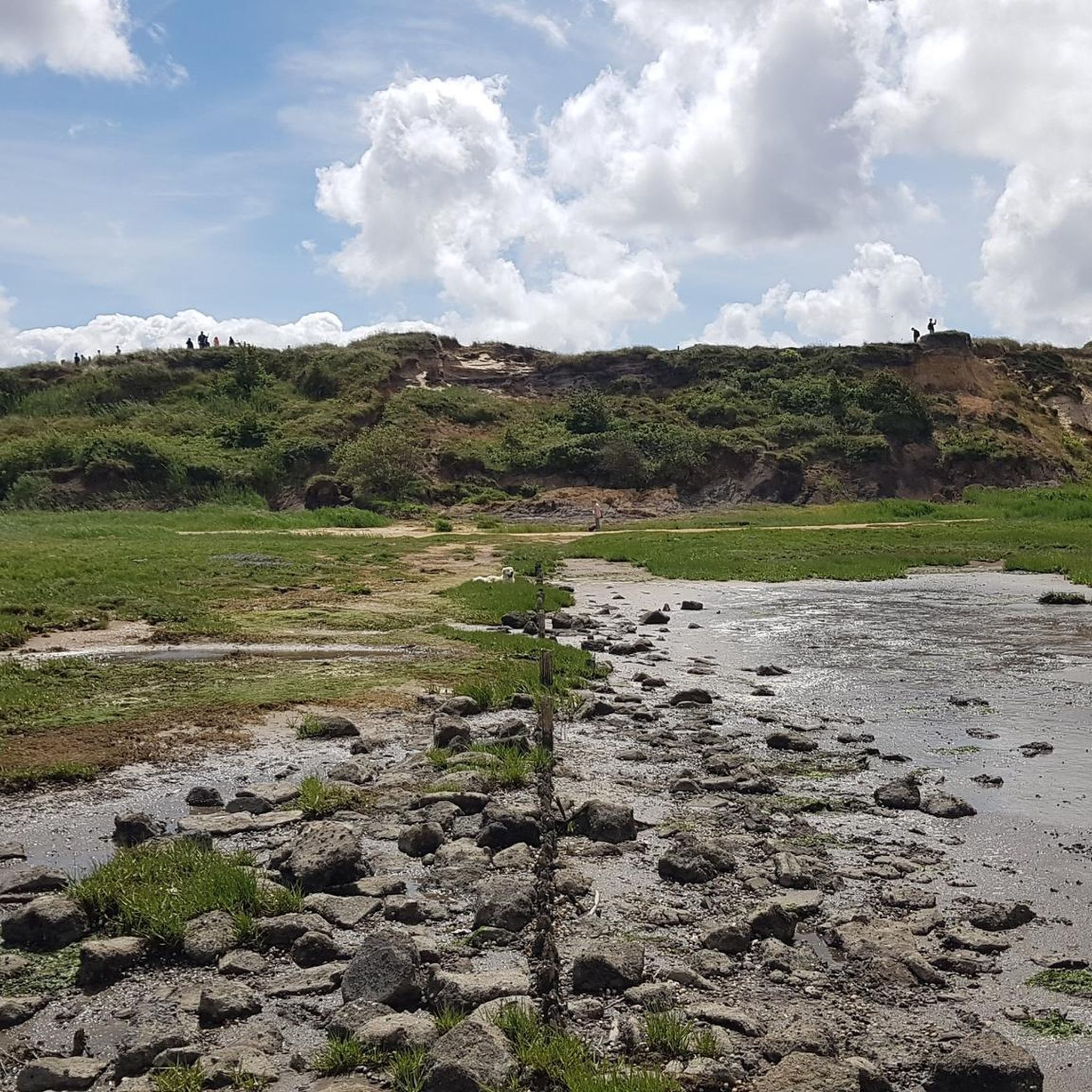
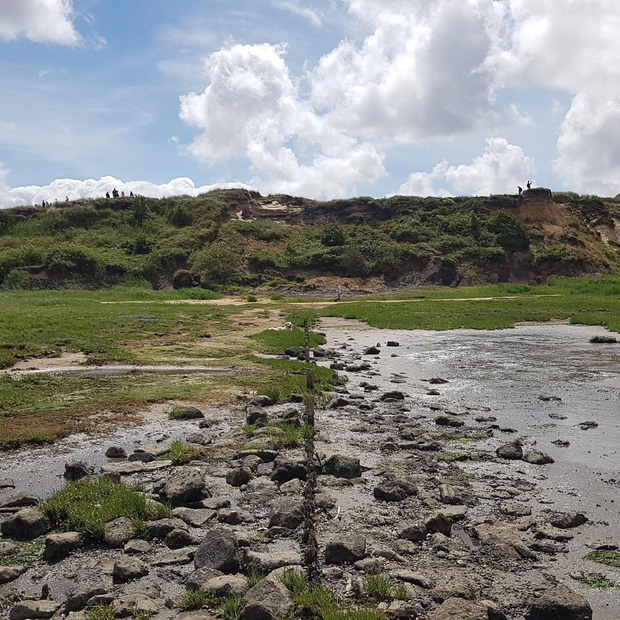
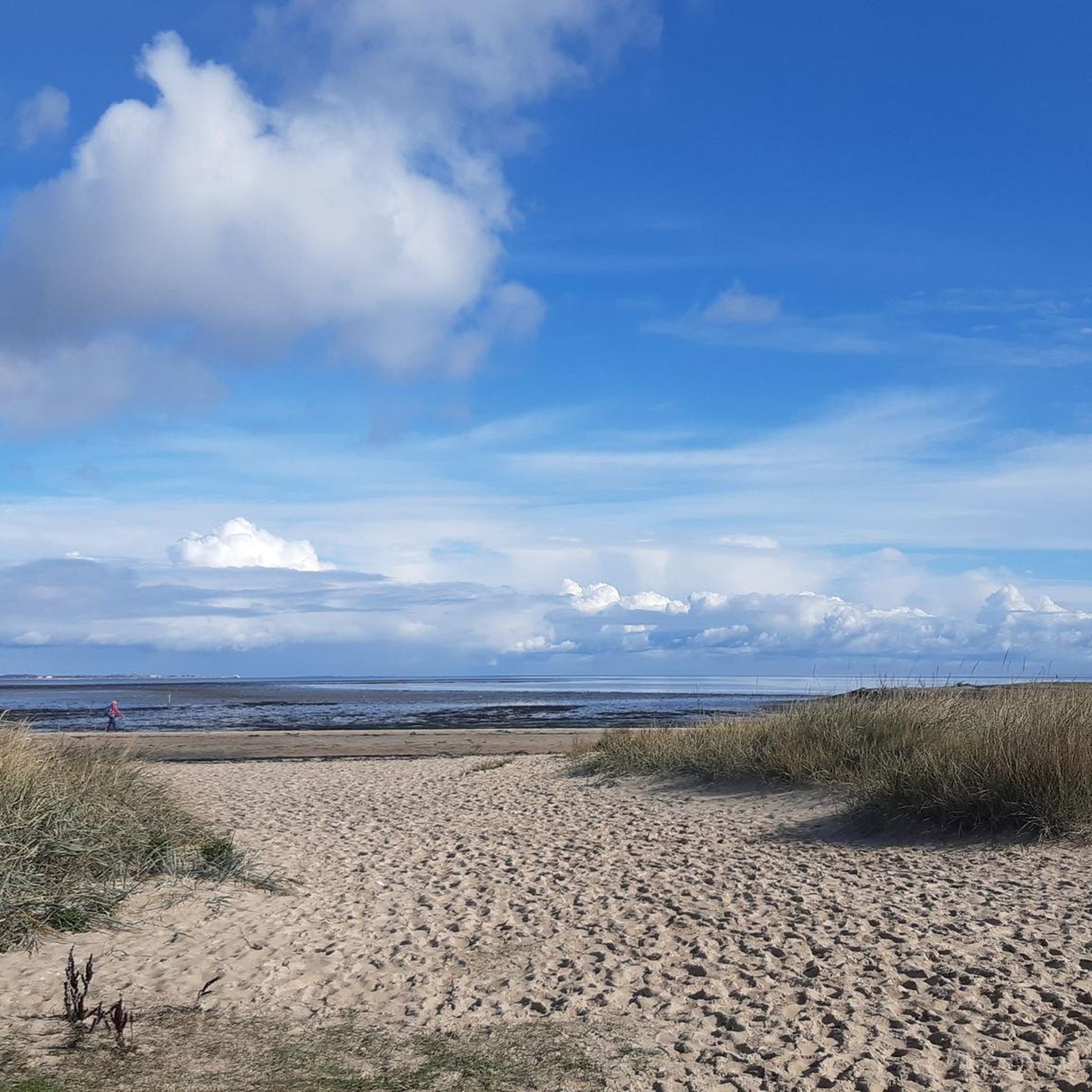
Hiking around Wattenmeer nördlich des Hindenburgdammes offers exploration of a unique UNESCO World Heritage site within the Schleswig-Holstein Wadden Sea National Park. The region is characterized by dynamic intertidal mudflats, vast salt marshes, and significant dune and heath landscapes, particularly on Sylt. These features create a diverse environment for outdoor activities, shaped by the rhythm of the tides.
Best hiking trails around Wattenmeer nördlich des Hindenburgdammes
- The most popular hiking route is Nord-Sylt Dune Boardwalk – Jensmetten-Berg Viewpoint loop from…
Last updated: July 10, 2026
4.8
(295)
1,296
hikers
Easy hike. Great for any fitness level. Easily-accessible paths. Suitable for all skill levels.
4.7
(353)
1,414
hikers
Moderate hike. Good fitness required. Easily-accessible paths. Suitable for all skill levels.

Sign up for free
4.8
(155)
777
hikers
Moderate hike. Good fitness required. Easily-accessible paths. Suitable for all skill levels.
4.8
(146)
687
hikers
Moderate hike. Good fitness required. Easily-accessible paths. Suitable for all skill levels.
4.7
(84)
625
hikers
3.35km
00:52
20m
20m
Easy hike. Great for any fitness level. Easily-accessible paths. Suitable for all skill levels.
Get access to more routes and recommendations from other explorers.
Sign up for free
Already have an account?
Our route recommendations are based on thousands of hikes, rides, and runs completed by other people on komoot.
Start today with a free account
Your next adventure awaits.
Login or Signup
Popular around Wattenmeer nördlich des Hindenburgdammes
Cycling around Wattenmeer nördlich des Hindenburgdammes
Road Cycling Routes around Wattenmeer nördlich des Hindenburgdammes
MTB Trails around Wattenmeer nördlich des Hindenburgdammes
Running Trails around Wattenmeer nördlich des Hindenburgdammes
Gravel biking around Wattenmeer nördlich des Hindenburgdammes
Tips from the Community

If you go from List along the Mövenbergdeich, you will see a great landscape, seagulls, sheep 🐑🐏… there are also benches where you can admire the beauty of nature.
2
1


Unique landscape on the island, one of the last free-roaming dunes in the wild! And it won't run away from you 😉
1
0

One of the most beautiful hiking destinations on Sylt.
0
0

No wind turbines should be built in the Wadden Sea World Heritage Site to protect migratory birds.
2
0

Very beautiful.... Done with tranquility and calm. Walking on the sand is a little more challenging, but it's worth it.
0
0

Beautiful path through beautiful dune landscape... connects List with the youth hostel
1
0

Beautiful scenery. Heavily frequented by cyclists. An inviting place to linger and explore.
1
1
Frequently Asked Questions
How many hiking trails are available in Wattenmeer nördlich des Hindenburgdammes?
The Wattenmeer nördlich des Hindenburgdammes region offers a vast network of over 1,100 hiking trails. This includes more than 850 easy routes, 260 moderate trails, and 40 more challenging options, catering to all fitness levels.
What is the best time of year to go hiking in the Wadden Sea north of the Hindenburgdamm?
The best time to hike in this region is generally from spring through autumn. During these seasons, the salt marshes are vibrant with specialized plants like sea lavender and glasswort, and the weather is typically more favorable for exploring the mudflats and dunes. However, the Wadden Sea's dynamic nature means that tidal considerations are crucial year-round, as the landscape changes significantly between high and low tide.
Are there any family-friendly hiking trails in the Wattenmeer nördlich des Hindenburgdammes?
Yes, many trails are suitable for families. The region offers numerous easy routes, perfect for all ages. For example, the Nord-Sylt Dune Boardwalk – Jensmetten-Berg Viewpoint loop from List auf Sylt is an easy 7.5 km route that provides elevated perspectives over the dune landscape, making it an enjoyable option for families.
Can I bring my dog on the hiking trails in the Wadden Sea National Park?
Many areas within the Schleswig-Holstein Wadden Sea National Park are dog-friendly, but it's essential to keep dogs on a leash, especially in sensitive habitats like salt marshes and bird breeding grounds. Always check local signage for specific rules and protected zones. Guided mudflat hikes often have restrictions on dogs to protect the delicate ecosystem.
What kind of wildlife can I expect to see while hiking here?
The Wadden Sea is a UNESCO World Heritage site and a crucial habitat for diverse wildlife. You can observe numerous organisms during mudflat hikes, and the area is internationally significant as a feeding, resting, and molting ground for a multitude of wading birds. Sand hooks like Uthörn and the Lister Nehrungshaken are vital resting and breeding grounds for birds like terns and plovers, and up to 60 seals can be seen almost year-round.
Are there any circular walks available in the region?
Yes, the region features many excellent circular walks. A popular option is the Dune Trail at Braderuper Heide – Braderuper Heath Boardwalk loop from Klentertal, a moderate 12.8 km route that takes you through diverse dune and heath landscapes. Another is the Ellenbogen Beach, North Sylt – Ellenbogen Point loop from Dunby, offering coastal views.
What are some interesting landmarks or attractions to see along the hiking trails?
The region offers several natural and historical points of interest. On Sylt, the Morsum Cliff is a significant geological formation with scenic hiking opportunities. You can also visit the Munckmarsch Beach or discover the Shipwreck in the Sea Near Braderup. The Keitum Coastal Path also provides beautiful views.
Are there guided tours available, especially for mudflat hiking?
Yes, guided mudflat hikes (Wattwanderungen) are highly recommended. These tours provide a unique opportunity to explore the exposed seabed safely, learn about the local ecosystem, and observe diverse marine life. The NABU (Nature and Biodiversity Conservation Union) also offers guided tours that explain the flora and fauna between the tides, suitable for all ages.
How accessible are the trails for people with limited mobility or wheelchairs?
While many paths are easily accessible, the dynamic nature of the Wadden Sea with its mudflats, sand, and salt marshes means that not all trails are suitable for wheelchairs. However, specific boardwalks and paved sections, such as parts of the "Dünensteg Nord-Sylt," may offer more accessible options. It is advisable to check specific route details for accessibility information.
What do other hikers enjoy most about hiking in Wattenmeer nördlich des Hindenburgdammes?
The area is highly rated by the komoot community, with an average score of 4.6 stars from over 10,000 reviews. Hikers often praise the unique natural landscapes, the opportunity to experience the dynamic Wadden Sea, and the diverse wildlife. The well-maintained trails and the blend of serene beauty with active exploration are frequently highlighted.
Where can I find refreshments or accommodation near the hiking trails?
Key access points like List on Sylt offer various amenities, including cafes, pubs, and accommodation options. Many villages and towns along the coast and on Sylt provide facilities for hikers. It's advisable to plan your route and check for available services in nearby locations before you set out.
How do tides affect hiking in the Wadden Sea?
The Wadden Sea is defined by its tides, which significantly impact hiking. At low tide, vast mudflats are exposed, allowing for unique mudflat hikes. At high tide, these areas are submerged. Always consult local tide tables and consider joining a guided tour for mudflat excursions to ensure safety and a deeper understanding of this dynamic environment.
Most popular routes around Wattenmeer nördlich des Hindenburgdammes

Get inspired with the komoot mobile app


Explore more
Browse the best Hikes in other regions.
