The best walks and hikes around Osorno La Mayor
4.7
(14)
59
hikers
6
hikes
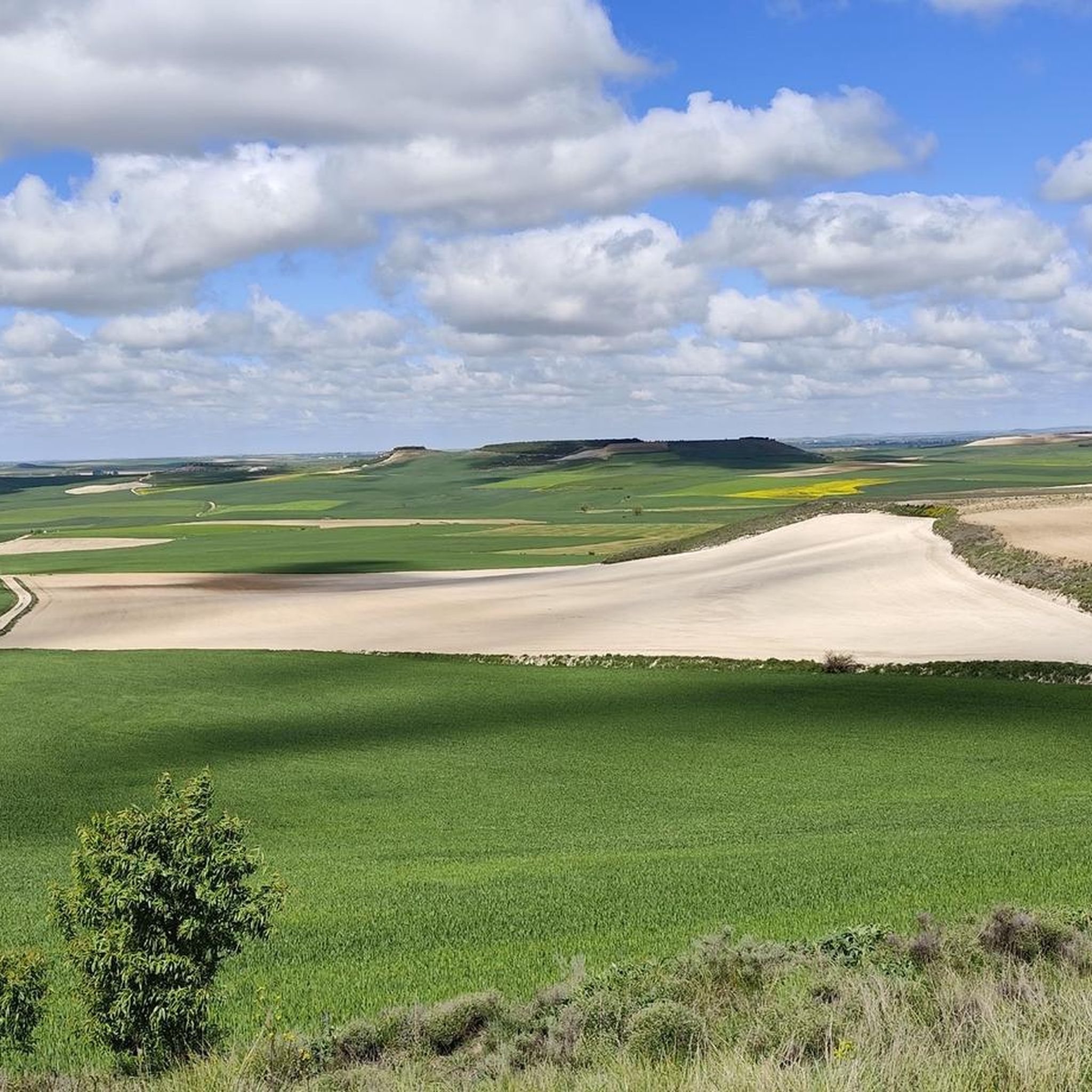
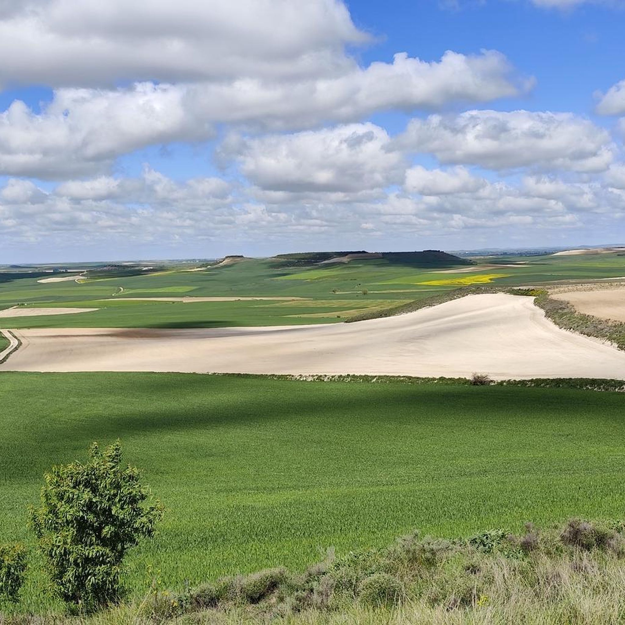
Hiking around Osorno La Mayor offers a distinct experience on the Castilian plateau, characterized by the flatlands of Tierra de Campos. The region is primarily defined by vast cultivated fields, moorlands, and riverside groves, irrigated by the Valdavia and Boedo rivers, and the prominent Canal de Castilla. This landscape provides opportunities for walks focused on historical waterways and the tranquil beauty of a plains environment.
Best hiking trails around Osorno La Mayor
- The most popular hiking route is Castillo de…
Last updated: July 5, 2026
11.7km
02:59
30m
30m
Moderate hike. Good fitness required. Easily-accessible paths. Suitable for all skill levels.
Easy hike. Great for any fitness level. Easily-accessible paths. Suitable for all skill levels.

Sign up for free
24.8km
06:22
110m
110m
Hard hike. Very good fitness required. Mostly accessible paths. Sure-footedness required.
Moderate hike. Good fitness required. Easily-accessible paths. Suitable for all skill levels.
4.4
(9)
31
hikers
Hard hike. Very good fitness required. Easily-accessible paths. Suitable for all skill levels.
Our route recommendations are based on thousands of hikes, rides, and runs completed by other people on komoot.
Start today with a free account
Your next adventure awaits.
Login or Signup

Tips from the Community

A short, pleasant stretch to walk because the water cools the air a little.
1
1

The views from the P-980 highway, especially in the area known as Los Coracoles in the Palentina Mountains, are truly spectacular and are part of the famous Ruta de los Pantanos (Wetlands Route).
1
0
The Statue of the Pilgrim in Carrión de los Condes is an emblematic monument located in Plaza Piña Merino, right at the entrance to the town if you're coming from Frómista, right on the Camino de Santiago. This bronze sculpture represents a traditional pilgrim, dressed in a cape and hat, and carrying the Jacobean symbols: the shell, the staff, and the calabash. It is a life-size figure that pays tribute to the thousands of pilgrims who pass through this historic town in Palencia each year.
2
0
The Statue of the Pilgrim in Carrión de los Condes is an emblematic monument located in Plaza Piña Merino, right at the entrance to the town if you're coming from Frómista, right on the Camino de Santiago. This bronze sculpture represents a traditional pilgrim, dressed in a cape and hat, and carrying the Jacobean symbols: the shell, the staff, and the calabash. It is a life-size figure that pays tribute to the thousands of pilgrims who pass through this historic town in Palencia each year.
1
0
Its origin dates back to August 15, 1101, when a flood destroyed the village of Tablares and swept away a Romanesque image of the Virgin. The residents found it on the riverbank and decided to build a sanctuary there, interpreting the discovery as a divine sign. The first church was Romanesque in style, although the current Baroque structure was rebuilt in 1713 by Francisco de Arratia Curiel.
3
0
Its origin dates back to August 15, 1101, when a flood destroyed the village of Tablares and swept away a Romanesque image of the Virgin. The residents found it on the riverbank and decided to build a sanctuary there, interpreting the discovery as a divine sign. The first church was Romanesque in style, although the current Baroque structure was rebuilt in 1713 by Francisco de Arratia Curiel.
4
0
The Hermitage of Our Lady of the River, located approximately 1 km northeast of Villalcázar de Sirga, next to the Ucieza River, is a place steeped in history, spirituality, and legend, closely linked to the French Way of St. James.
4
0
The Hermitage of Our Lady of the River, located approximately 1 km northeast of Villalcázar de Sirga, next to the Ucieza River, is a place steeped in history, spirituality, and legend, closely linked to the French Way of St. James.
3
0
Frequently Asked Questions
How many hiking trails are available around Osorno La Mayor?
There are 6 hiking trails documented around Osorno La Mayor on komoot. These routes offer a range of experiences, from easy strolls to more challenging long-distance paths across the Castilian plateau.
What kind of terrain can I expect on hikes near Osorno La Mayor?
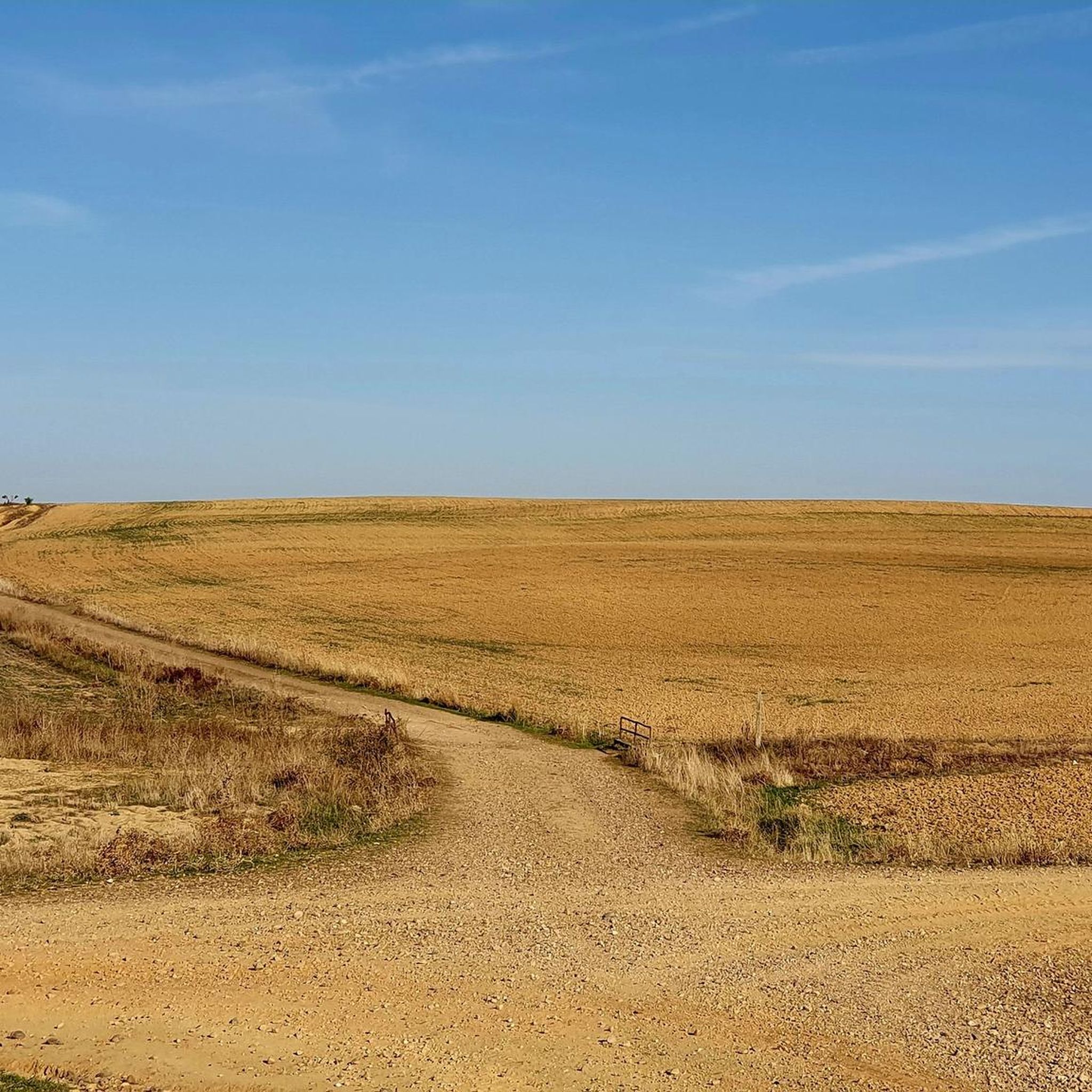
The terrain around Osorno La Mayor is characterized by the flatlands of Tierra de Campos. You'll primarily find walks through vast cultivated fields, interspersed with moorlands and tranquil riverside groves along the Valdavia and Boedo rivers, as well as the historic Canal de Castilla. It's a plains environment, so expect gentle gradients rather than mountainous climbs.
Are there hiking options for all skill levels in Osorno La Mayor?
Yes, the area offers routes for various skill levels. There is 1 easy route, 2 moderate routes, and 3 more difficult routes, ensuring options for both casual walkers and those seeking a longer challenge.
What natural features or landmarks can I see while hiking in Osorno La Mayor?
While hiking, you can explore the unique plains environment, including the Valdavia and Boedo rivers, and the significant Canal de Castilla. Points of interest along the canal include the Quadruple Lock of the Canal de Castilla and various aqueducts, showcasing historical engineering.
Is Osorno La Mayor a good place for birdwatching during a hike?
Yes, the region is an interesting spot for birdwatching. The cultivated fields and riverside groves provide a habitat for various steppe birds like partridges, snipe, and stone-curlews, as well as storks, ducks, nightingales, falcons, and kestrels in the fluvial areas.
Are there any circular hiking routes in the area?
Yes, there are circular routes available. For example, the easy Boadilla del Camino — circular along the banks of the Canal de Castilla offers a gentle walk, and the more challenging Osornillo y Melgar de Fernamental — circular por Sendero de los Hortelanos (PRC-BU 190) is a longer option.
Can I bring my dog on the hiking trails around Osorno La Mayor?
Generally, dogs are welcome on most public hiking trails in rural areas like Osorno La Mayor. However, it's always advisable to keep them on a leash, especially when passing through cultivated fields or near livestock, and to check for any specific local regulations or signage on individual routes.
Are the hiking trails in Osorno La Mayor suitable for families with children?
Many of the trails, particularly those along the Canal de Castilla, are relatively flat and well-suited for families. The easy Boadilla del Camino — circular along the banks of the Canal de Castilla is a good option for a gentle family outing.
What is the best time of year to go hiking in Osorno La Mayor?
The best time to hike in Osorno La Mayor is typically during spring and autumn. These seasons offer milder temperatures, making walks across the open plains more comfortable. Summer can be very hot, while winter might bring colder conditions, though the flat terrain generally remains accessible.
What do other hikers enjoy the most about hiking in Osorno La Mayor?
The area is highly rated by the komoot community, with an average score of 4.2 stars from around 40 reviews. Hikers often praise the tranquil beauty of the plains, the historical significance of the Canal de Castilla, and the opportunities for peaceful walks away from crowded areas.
Are there any long-distance hiking options available?
Yes, for those seeking longer excursions, routes like the Castillo de las Cabañas de Castilla from Osorno La Mayor by the Canal de Castilla, at 19.2 km, or the Osornillo y Melgar de Fernamental — circular por Sendero de los Hortelanos (PRC-BU 190), which is 24.8 km, provide substantial walking experiences.
Most popular attractions around Osorno La Mayor

Get inspired with the komoot mobile app


Explore more
Browse the best Hikes in other regions.
