The best running trails around Arevalillo De Cega
35
runners
10
runs
Jogging routes Arevalillo De Cega offer diverse terrain for runners, characterized by the Cega River basin and its riparian vegetation, providing shaded paths. The region features varied woodlands, including sabinas, holm oaks, and gall oaks, alongside open plains. Hilly terrain offers a mix of elevations, with distant views of the Sierra del Guadarrama.
Best jogging routes around Arevalillo De Cega
- The most popular jogging route is Castillo de Turégano — circular, an easy 2.8 miles (4.4 km) trail that takes 30 minutes to complete. This route offers views of the historic castle.
- Another top favourite among local runners is Views of Pedraza loop from Pedraza, a moderate 8.1 miles (13.1 km) path. This route provides panoramic views of the surrounding landscape.
- Local runners also love the Church of San Andrés – Plaza de España, Cantalejo loop from Cantalejo, a 4.9 miles (7.9 km) trail leading through the village and its surroundings, often completed in about 50 minutes.
- Jogging around Arevalillo De Cega is defined by the Cega River, diverse woodlands, and hilly terrain. The network offers options for different ability levels, from easy riverside paths to more challenging routes with elevation gain.
- The guide includes highly-rated routes that showcase the best of the region's landscape. More than 30 runners have used komoot to explore Arevalillo De Cega's varied terrain.
Last updated: May 16, 2026
4.42km
00:29
20m
20m
Easy run. Great for any fitness level. Mostly paved surfaces. Suitable for all skill levels.
18
runners
13.1km
01:33
240m
250m
Moderate run. Good fitness required. Mostly paved surfaces. Suitable for all skill levels.

Sign up for free
5
runners
Moderate run. Good fitness required. Mostly paved surfaces. Suitable for all skill levels.
3
runners
8.39km
00:53
30m
30m
Moderate run. Good fitness required. Mostly paved surfaces. Suitable for all skill levels.
3
runners
9.85km
01:06
100m
100m
Moderate run. Good fitness required. Mostly paved surfaces. Suitable for all skill levels.
Get access to more routes and recommendations from other explorers.
Sign up for free
Already have an account?
Our route recommendations are based on thousands of hikes, rides, and runs completed by other people on komoot.
Start today with a free account
Your next adventure awaits.
Login or Signup

Tips from the Community

Medieval city center of a great region. Very suitable for tourism.
0
0

San Pedro de Gaíllos is a town located at the entrance to the great plains in the north of the province of Segovia. The town, with its church as its flag, governs the core.
1
0

Cantalejo, one of the gateways to the Hoces del Río Duratón Natural Park, is a good place to make a stop during the trip. Have a coffee in Plaza España or eat something small.
0
0

The 17th century church of San Andrés is located in the Plaza de España, the central point of the town of Cantalejo, declared a Site of Cultural Interest in 1995. Right next to it there is a water fountain.
2
0
Population that is located in the center of the province and that is famous for its castle that is located in the upper part of the nucleus. However, its main square is beautiful, a place where you can see the castle in the background.
0
0
Beautiful castle that is located at the top of the town of Turégano and that is impressive. It has the shape of a movie castle and some of its walls have been restored.
0
1
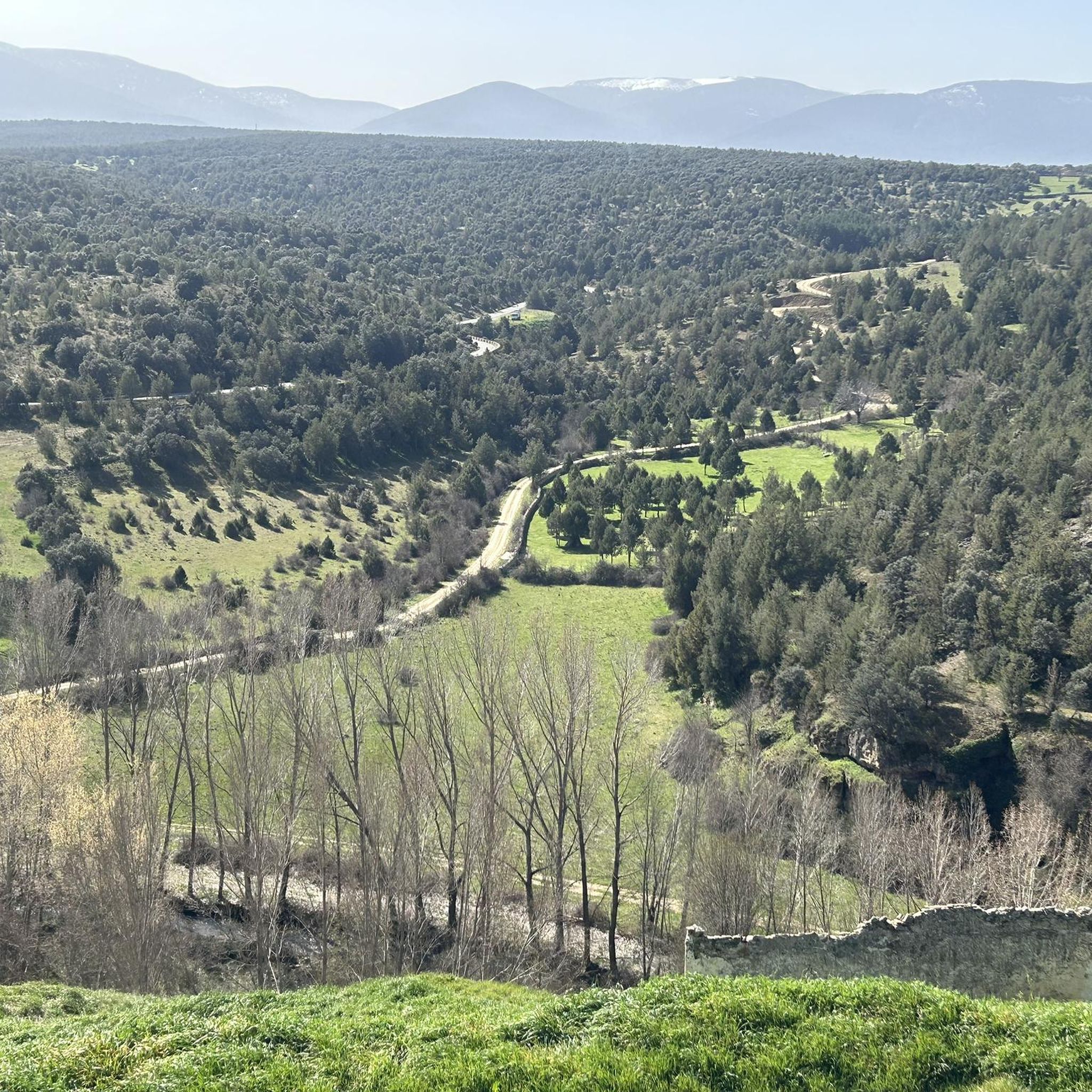
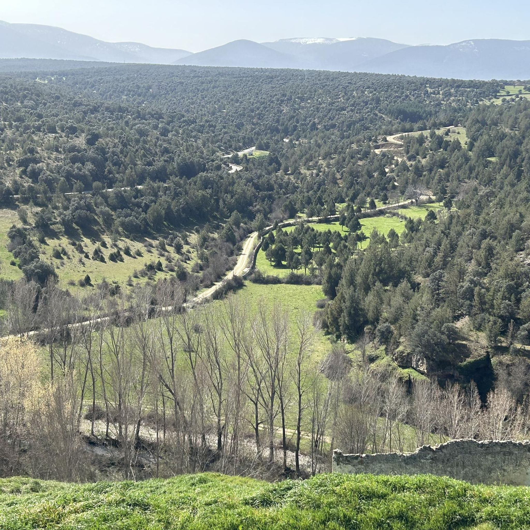
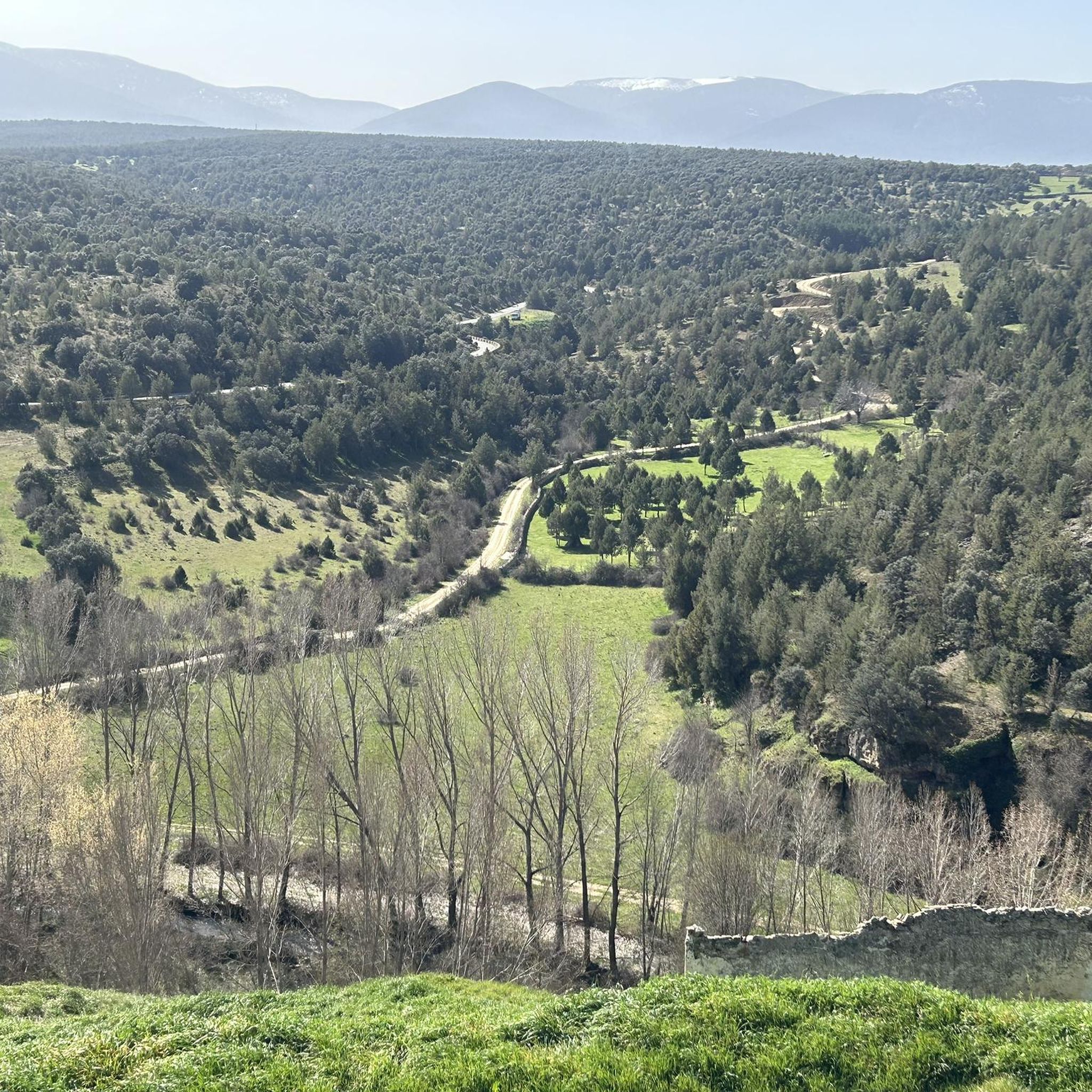
Before reaching the town of Pedraza itself, there are beautiful views of the town, located at the top of a hill.
2
0
Beautiful castle that is located at the top of the town of Turégano and that is impressive. It has the shape of a movie castle and which is restored in some of its parts!
0
1
Frequently Asked Questions
How many running routes are available around Arevalillo de Cega?
Komoot offers over 10 dedicated running routes in the Arevalillo de Cega area, catering to various fitness levels and preferences. These trails allow you to explore the region's diverse landscapes, from riverside paths to woodlands.
Are there any easy jogging routes suitable for beginners or a relaxed run?
Yes, for an easy and scenic run, consider the Castillo de Turégano — circular route. This 4.4 km (2.8 miles) trail is rated easy and offers pleasant views, perfect for a gentle jog.
What kind of terrain can I expect on the jogging trails in Arevalillo de Cega?
The jogging trails around Arevalillo de Cega offer a mix of terrain. You'll find verdant paths along the Cega River, shaded by trees like elms and poplars, as well as routes through slopes covered with sabinas, holm oaks, and gall oaks. The area features gentle hills and open plains, providing varied experiences for runners.
Are there any long-distance running trails for more experienced runners?
Absolutely. For a longer, more challenging run, the Views of Pedraza loop from Pedraza is a moderate 13.1 km (8.1 miles) path that provides panoramic views of the surrounding landscape and offers a good workout.
Can I find circular running routes in the area?
Yes, many routes in the region are circular, allowing you to start and end in the same location. An example is the Church of San Andrés – Plaza de España, Cantalejo loop from Cantalejo, a 7.9 km (4.9 miles) trail that takes you through the village and its surroundings.
What natural features or landmarks can I see while running in Arevalillo de Cega?
The region is rich in natural beauty and historical sites. You can run alongside the Cega River, explore diverse woodlands, and even pass by ancient caves like Cueva de Jaspe. Notable landmarks include the historic Turégano Castle and the charming settlement of Pedraza. Some routes also feature a picturesque Mill and Waterfall.
Are the running trails in Arevalillo de Cega suitable for families?
Many of the trails are suitable for families, especially the easier, shorter routes with less elevation gain. The riverside paths offer a pleasant and relatively flat experience. Always check the route details for distance and difficulty to ensure it's appropriate for your family's fitness level.
Are dogs allowed on the running routes around Arevalillo de Cega?
Generally, dogs are welcome on trails in natural areas around Arevalillo de Cega. However, it's always recommended to keep your dog on a leash, especially in areas with wildlife or near livestock, and to follow local regulations regarding pet waste. There are no specific restrictions mentioned for these routes.
Is there parking available near the trailheads for these running routes?
While specific parking facilities for every trailhead are not detailed, villages like Arevalillo de Cega, Pedraza, and Cantalejo typically offer public parking areas. It's advisable to check local maps or information for parking options closest to your chosen starting point, especially when running from a specific town like the Running loop from Cantalejo.
What is the best time of year to go jogging in Arevalillo de Cega?
The Cega River basin provides a refreshing environment, making spring and autumn ideal for jogging with milder temperatures and vibrant scenery. Summer mornings and evenings can also be pleasant, especially on shaded riverside paths. Winter offers a different charm, with the distant Sierra del Guadarrama often capped with snow, but be prepared for cooler conditions.
What do other runners say about the trails in Arevalillo de Cega?
The running routes in Arevalillo de Cega are well-regarded by the komoot community. Over 30 runners have used komoot to explore the varied terrain, often praising the natural beauty, the refreshing Cega River, and the diverse woodlands that make for an enjoyable and scenic running experience.
Are there any routes that offer significant elevation gain for a more challenging run?
Yes, while many routes feature gentle hills, some offer more significant elevation changes. For example, the San Pedro de Gaíllos loop from San Pedro de Gaíllos, a moderate 9.8 km (6.1 miles) route, includes nearly 100 meters of elevation gain, providing a good challenge for those looking to push themselves.
Most popular attractions around Arevalillo De Cega

Get inspired with the komoot mobile app


Explore more
Browse the best Running Trails & Routes in other regions.
