The best MTB trails around Villafeliche
4.6
(11)
70
riders
26
rides
Mountain biking around Villafeliche offers diverse landscapes, from the fertile Jiloca river valley to arid gypsum plateaus. The region features a mix of terrain, including lush riverside plains, pine forests, and elevated sections with panoramic views. The varied topography provides options for different mountain biking experiences, from gentler routes along the river to more challenging paths through rougher lands and limestone formations.
Best mountain bike trails around Villafeliche
- The most popular mountain bike trail is Despoblado de Pardos y Mirador…
Last updated: June 29, 2026
60.7km
05:49
1,100m
1,100m
Hard mountain bike ride. Very good fitness required. Suitable for all skill levels.
11
riders
47.6km
04:04
470m
470m
Moderate mountain bike ride. Good fitness required. Suitable for all skill levels.

Sign up for free
5.0
(2)
10
riders
115km
09:18
1,240m
1,240m
Hard mountain bike ride. Very good fitness required. Advanced riding skills necessary. Some portions of the route may require you to push your bike.
7
riders
51.7km
04:22
770m
770m
Moderate mountain bike ride. Good fitness required. Suitable for all skill levels.
6
riders
32.0km
03:22
790m
790m
Moderate mountain bike ride. Good fitness required. Suitable for all skill levels.
Get access to more routes and recommendations from other explorers.
Sign up for free
Already have an account?
Our route recommendations are based on thousands of hikes, rides, and runs completed by other people on komoot.
Start today with a free account
Your next adventure awaits.
Login or Signup
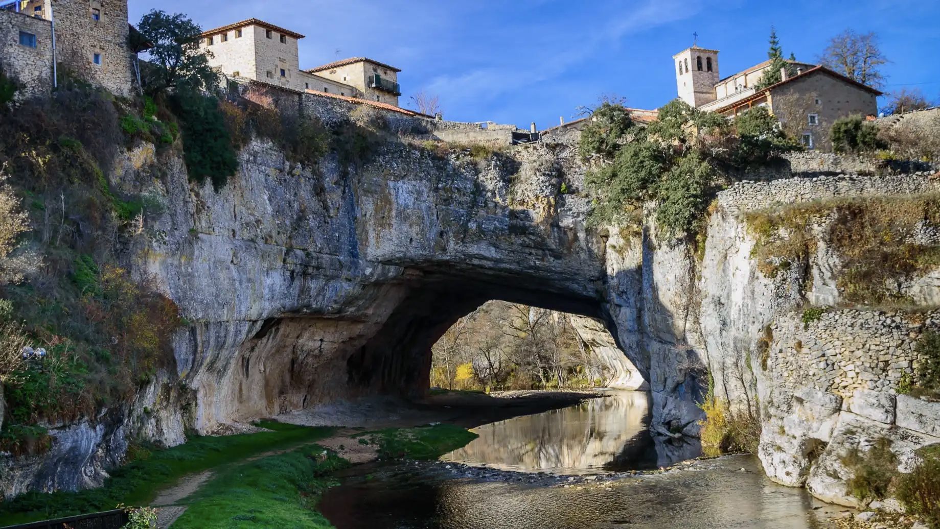
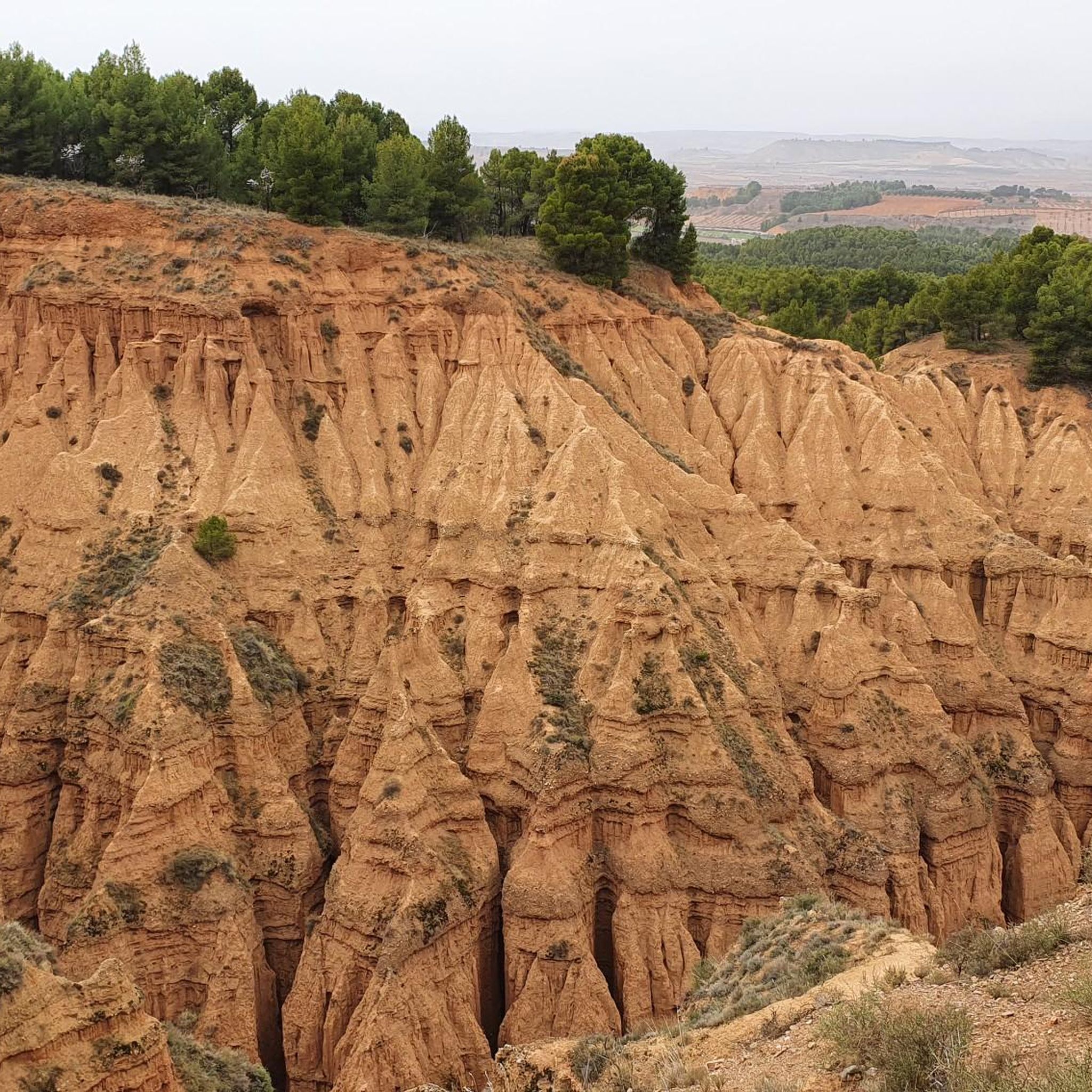
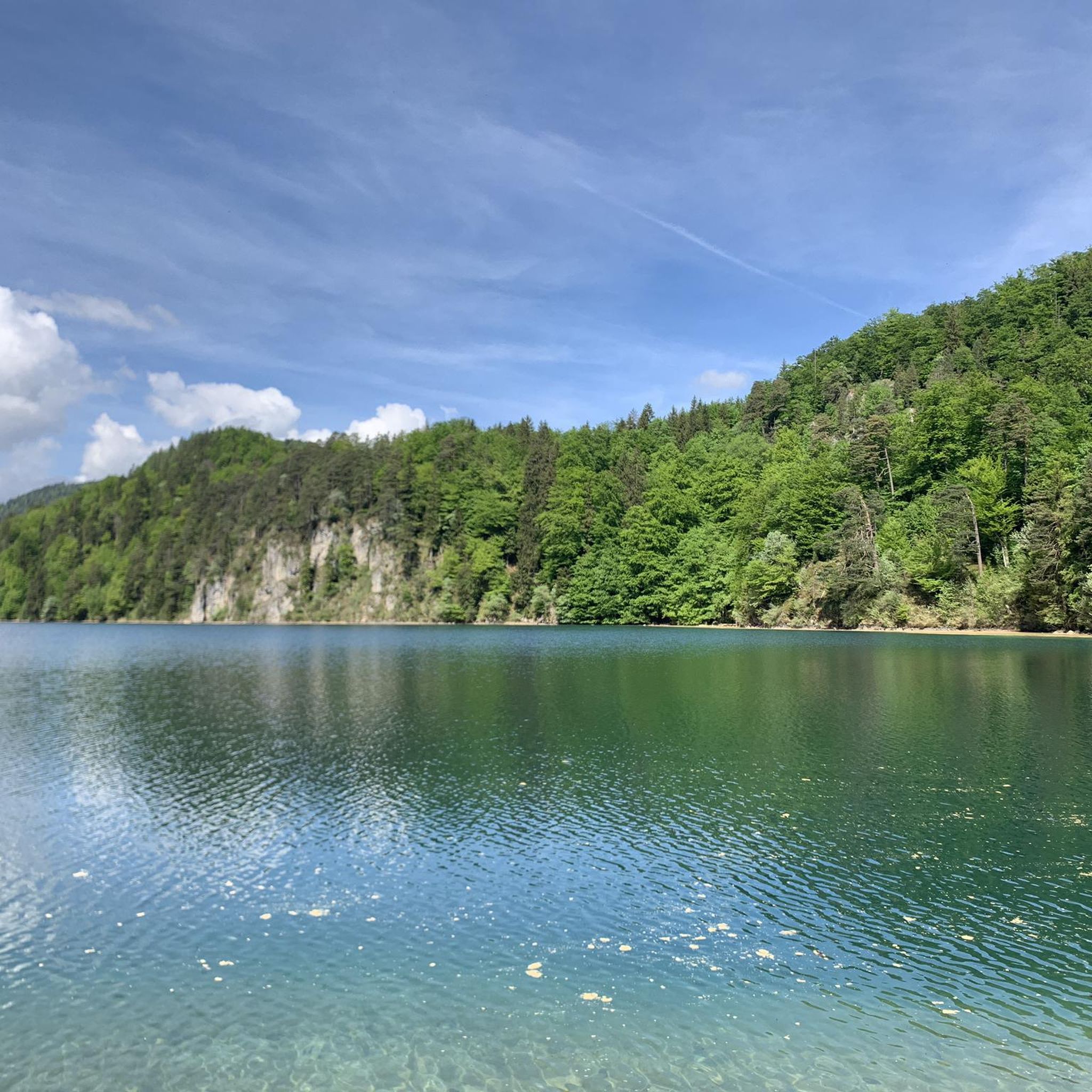
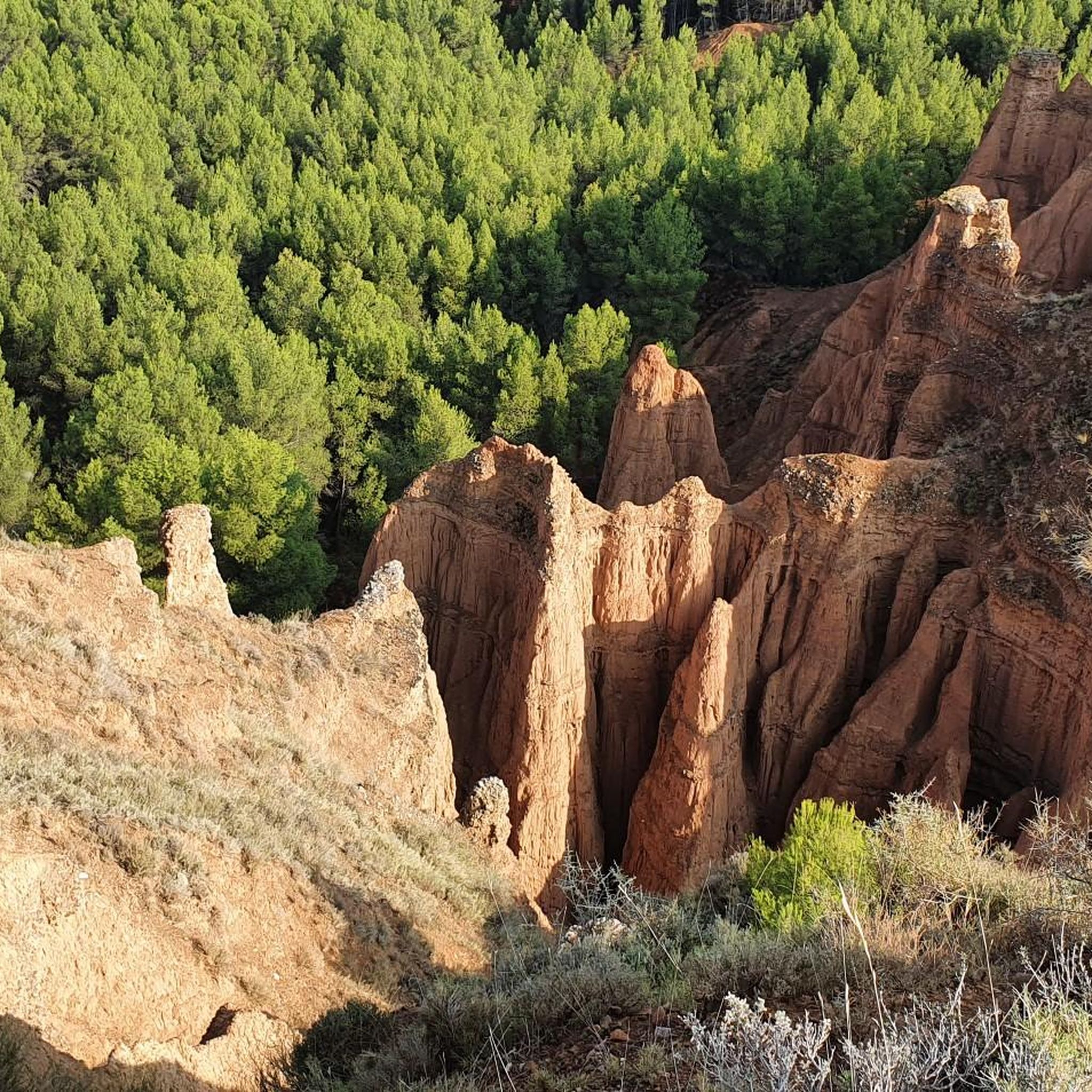
Other adventures around Villafeliche

Tips from the Community

Watched over by the remains of its ancient castle, Daroca emerges, one of the most beautiful cities in Aragon. Without a doubt, one of the charms of the town is to walk along its walls, with their imposing towers, until you reach the castle, from which you can enjoy a beautiful panoramic view.
0
0

The Lower Gate is the most emblematic entrance to Daroca and one of the most impressive defensive monuments in Aragon. Its two robust towers flank a large arch that, in addition to serving as a passageway, also facilitated the drainage of water during periods of heavy rain. Built between the 13th and 16th centuries, it reflects the military and architectural evolution of the city, with Gothic and Renaissance elements such as the gallery of arches and the imperial coat of arms of Charles V. Today, restored, it houses the Center for Daroca Studies and is a must-see for those exploring the city's walls and historic streets.
2
0


A small paradise between the Jarama and Alcarria rivers, where migratory birds pass through on their long journey. It has a picnic area at the Hermitage of the Virgin and several bird-watching spots.
0
0

The Peirón de la Virgen del Pilar in Orcajo is one of the most unique peirones in the region. Located at the fork in the road to the Santed mountain pass, which leads to some fields.
2
0

Picturesque Lagoon located at the foot of the track between the towns of Used and Cubel
0
0
Its location is on the track from Atea to Murero, this track is highly recommended if we want to avoid the road that connects these towns.
0
0

Frequently Asked Questions
How many mountain bike trails are available around Villafeliche?
There are over 15 mountain bike trails around Villafeliche, offering a diverse range of experiences. These routes traverse varied landscapes, from the fertile Jiloca river valley to arid gypsum plateaus and pine forests.
Are there mountain bike trails suitable for beginners in Villafeliche?
Yes, Villafeliche offers at least one easy mountain bike trail. For a gentler ride, consider the Langa del Castillo loop from Miedes de Aragón, which is 15.1 miles (24.4 km) long and features less elevation gain, making it a good option for those new to mountain biking.
What kind of terrain can I expect on mountain bike trails in Villafeliche?
The terrain around Villafeliche is quite varied. You'll find lush riverside plains along the Jiloca river, sections through pine forests, and more challenging paths across arid gypsum and limestone plateaus. This mix provides everything from smooth tracks to rocky sections with panoramic views.
Are there any long-distance mountain bike routes in the Villafeliche area?
Yes, for those seeking a longer challenge, the Castillo de Ayud – Daroca loop from Apeadero de Villafeliche is an extensive route covering 72.2 miles (116.2 km). This path offers a significant ride through the wider regional landscape, connecting several points of interest.
What do other mountain bikers enjoy most about the trails in Villafeliche?
The mountain bike trails in Villafeliche are highly rated by the komoot community, with an average score of 4.6 stars from more than 10 reviews. Riders often praise the diverse landscapes, the mix of challenging and scenic routes, and the opportunity to explore both natural beauty and historical sites.
Are there any circular mountain bike routes around Villafeliche?
Many of the mountain bike routes in the area are circular, allowing you to start and end at the same point. An example is the Despoblado de Pardos y Mirador de Santa Cruz — circular desde Acered, a difficult 37.7 miles (60.7 km) trail that explores varied terrain and offers a complete loop experience.
What historical or natural attractions can I see along the mountain bike trails?
The region around Villafeliche is rich in history and natural beauty. You can explore the charming village of Daroca with its impressive Walls and Main Castle, or discover the historical significance of Villafeliche itself, known for its medieval castle ruins and gunpowder mills. The Jiloca river valley also offers scenic natural features.
What is the best season for mountain biking in Villafeliche?
The varied climate of the region suggests that spring and autumn are generally ideal for mountain biking in Villafeliche, offering pleasant temperatures and vibrant landscapes. Summers can be hot, especially in the more arid areas, while winters might bring cooler conditions, though riding is often still possible.
Are there challenging mountain bike routes for experienced riders?
Absolutely. For experienced mountain bikers, there are several difficult routes. The Pico de Santa Cruz – Bello Village Center loop from Orcajo is a challenging 28.3 miles (45.6 km) trail with significant elevation gain, perfect for those looking for a demanding ride.
Can I find mountain bike routes that follow the Jiloca river valley?
Yes, the Jiloca river valley is a prominent feature of the landscape, and several routes incorporate its scenic beauty. The Drinking Water Fountain loop from Fuentes de Jiloca, for example, is a 29.2 miles (47.0 km) trail that leads through this fertile valley, offering a mix of lush plains and riverside groves.
Is there public transport access to mountain biking areas near Villafeliche?
While specific public transport links directly to trailheads might be limited, Villafeliche's location between larger towns like Calatayud and Daroca, which have better transport connections, suggests that reaching the general area by public transport is feasible. From there, local options or cycling to the trail start would be necessary.
Most popular attractions around Villafeliche

Get inspired with the komoot mobile app


Explore more
Browse the best MTB trails in other regions.
