The best walks and hikes around Tennengebirge (Naturschutzgebiet)
4.6
(5412)
29,088
hikers
512
hikes
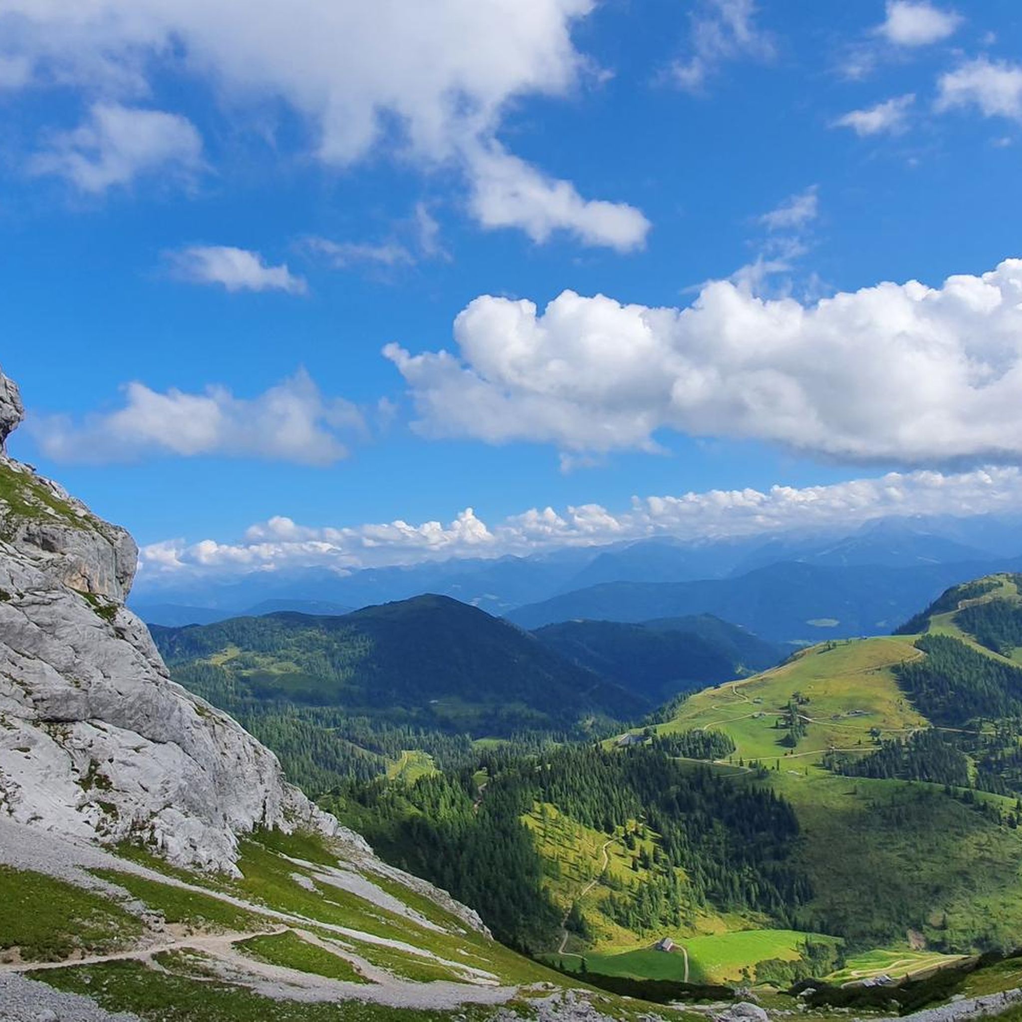
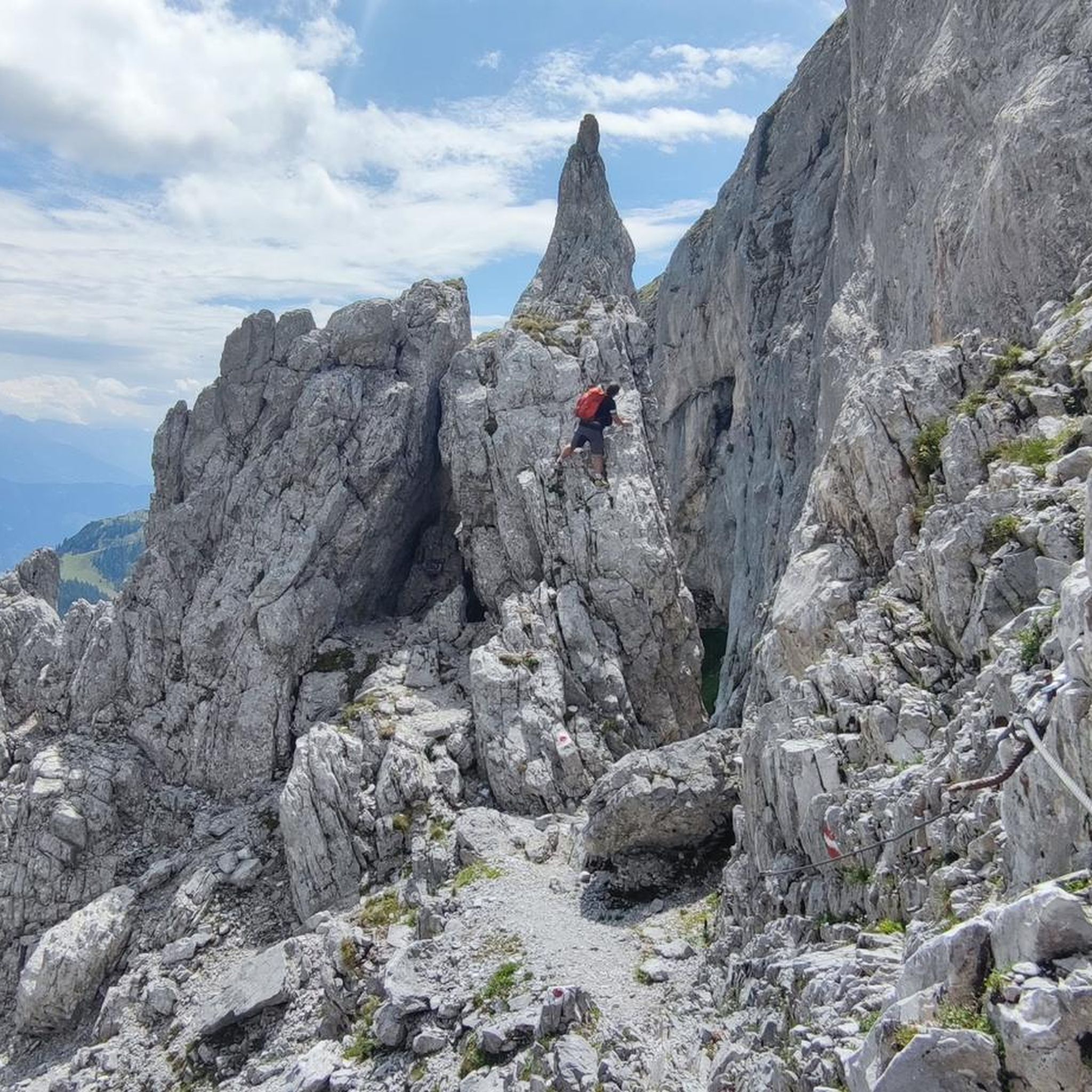
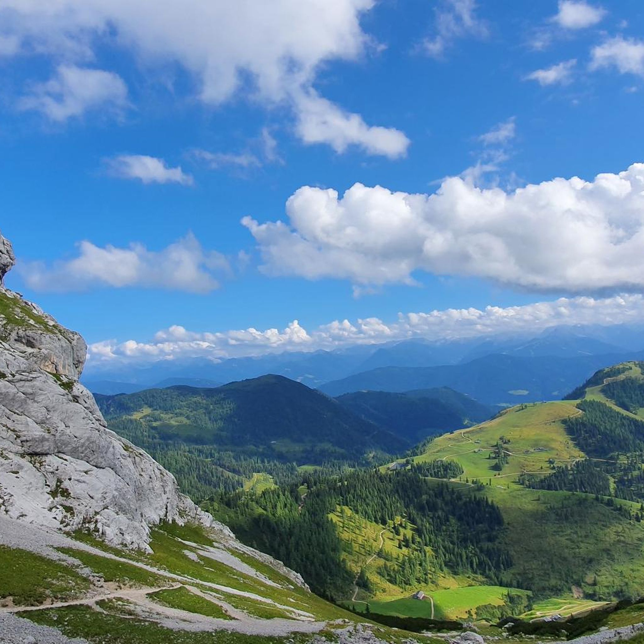
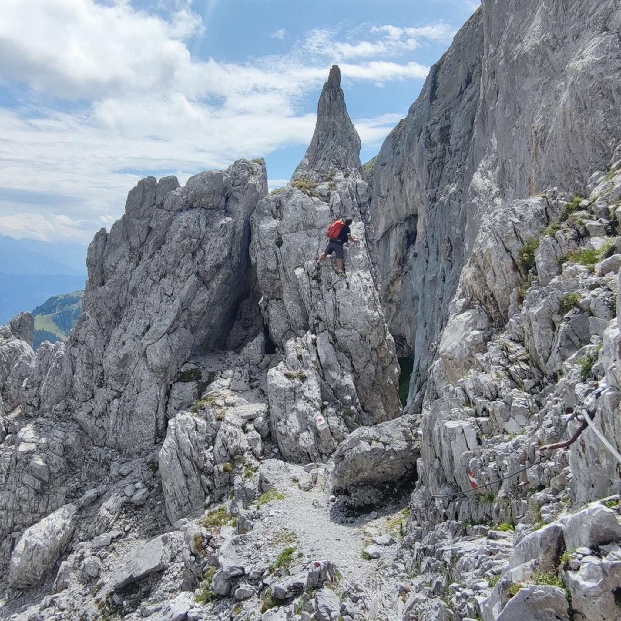
Hiking trails around Tennengebirge (Naturschutzgebiet) traverse a unique karst landscape within the Northern Limestone Alps in Salzburg, Austria. This region is characterized by a heavily karstified high plateau, primarily composed of Dachstein limestone, leading to rocky slopes and sparse coniferous woodlands. The landscape features dramatic jagged summits and extensive sweeping valleys, shaped by glacial periods. A significant portion of the plateau lies above 2,000 meters (6,561 ft), with the highest peak, Raucheck, reaching 2,430 meters (7,972 ft).
Best hiking trails around Tennengebirge (Naturschutzgebiet)
- The most popular hiking route is Dr. Friedrich Oedl Trail, a 3.7 miles (6.0 km) trail that takes 2 hours 50 minutes to complete. This moderate path offers views across the distinctive karst terrain.
- Another top favourite among local hikers is View of the Salzach Valley – Eisriesenwelt Panorama Trail loop from Eisriesenwelt Visitor's Center, a difficult 7.5 miles (12.1 km) path. This route provides expansive views of the Salzach Valley and the surrounding peaks.
- Local hikers also love the Sölden hut – Tauernscharte loop from Söldenhütte, a 4.3 miles (7.0 km) trail leading through alpine terrain, often completed in about 4 hours 17 minutes.
- Hiking around Tennengebirge (Naturschutzgebiet) is defined by its karst plateau, jagged summits, and sweeping valleys. The network offers options for different ability levels, from easy walks to physically demanding routes.
- The routes in Tennengebirge (Naturschutzgebiet) are highly rated by the komoot community with an average score of 4.6 stars from over 5000 reviews. More than 28000 hikers have used komoot to explore Tennengebirge (Naturschutzgebiet)'s varied terrain.
Last updated: July 7, 2026
4.9
(164)
1,681
hikers
6.00km
02:50
660m
660m
Hike the moderate 3.7-mile Dr. Friedrich Oedl Trail in the Tennengebirge mountains, gaining 2159 feet with stunning alpine views.
5.0
(3)
47
hikers
Hard hike. Very good fitness required. Sure-footedness, sturdy shoes and alpine experience required.

Sign up for free
5.0
(3)
33
hikers
6.98km
04:17
780m
780m
Hard hike. Good fitness required. Sure-footedness, sturdy shoes and alpine experience required.
5.0
(3)
28
hikers
6.83km
04:14
780m
780m
Hard hike. Good fitness required. Sure-footedness, sturdy shoes and alpine experience required.
1
hikers
Hard hike. Good fitness required. Sure-footedness, sturdy shoes and alpine experience required.
Get access to more routes and recommendations from other explorers.
Sign up for free
Already have an account?
Our route recommendations are based on thousands of hikes, rides, and runs completed by other people on komoot.
Start today with a free account
Your next adventure awaits.
Login or Signup
Popular around Tennengebirge (Naturschutzgebiet)

Gravel biking around Tennengebirge (Naturschutzgebiet)
Cycling around Tennengebirge (Naturschutzgebiet)
MTB Trails around Tennengebirge (Naturschutzgebiet)
Road Cycling Routes around Tennengebirge (Naturschutzgebiet)

Mountain Hikes around Tennengebirge (Naturschutzgebiet)
Running Trails around Tennengebirge (Naturschutzgebiet)
Tips from the Community

Up through the tunnel and back via the Panoramaweg, then you get both.
0
0

The "Rock Tunnel" at the Eisriesenwelt is a new, safe access to the cave entrance, built after a tragic rockfall in 2020. The 230-meter-long and 2.5-meter-wide and high protection and visitor tunnel has been completed since the 2022 season and protects the way to the world's largest ice cave from rockfall.
1
0

Panorama path is more beautiful than through the tunnel
0
0
Part of the route is bypassed through a tunnel
1
0
A very interesting ice cave, only accessible with sturdy shoes and warm clothing. Visitors can explore the cave for about one kilometer and climb approximately 1,400 steps.
1
0

Super beautiful views on the way to / from the Eisriesenwelt
0
0
A little taste of what’s to come.
0
0
Very beautiful path with great views of the Salzach Valley and Hochwerfen Castle
0
0
Frequently Asked Questions
What kind of hiking trails can I expect in Tennengebirge (Naturschutzgebiet)?
The Tennengebirge (Naturschutzgebiet) offers a diverse range of hiking experiences. You'll find trails traversing a unique karst landscape with rocky slopes and sparse coniferous woodlands. The region is known for its dramatic jagged summits and sweeping valleys, shaped by glacial periods. Many trails require sure footing and a head for heights due to the alpine terrain.
How many hiking routes are available in Tennengebirge (Naturschutzgebiet)?
There are over 500 hiking routes available in Tennengebirge (Naturschutzgebiet). This includes a wide variety of options, with approximately 160 easy trails, over 250 moderate routes, and nearly 100 more challenging paths for experienced hikers.
Are there any family-friendly hiking options in Tennengebirge (Naturschutzgebiet)?
While many trails in Tennengebirge require sure footing, there are easier options suitable for families. Look for routes designated as 'easy' in the komoot guide, which typically have less elevation gain and shorter distances. Always check the specific trail details to ensure it matches your family's abilities.
What are some notable natural attractions or landmarks to see while hiking?
The region is rich in natural wonders. A major attraction is the Eisriesenwelt, the world's largest ice cave, near Werfen. Hikers can also discover the massive Glass Cross on the Schartwand, which offers stunning views. The heavily karstified plateau itself, with its numerous caves, is a unique geological feature to explore.
Are there any circular hiking routes in Tennengebirge (Naturschutzgebiet)?
Yes, there are several circular routes. For example, the difficult View of the Salzach Valley – Eisriesenwelt Panorama Trail loop from Eisriesenwelt Visitor's Center offers expansive views. Another option is the Sölden hut – Tauernscharte loop from Söldenhütte, leading through alpine terrain.
What is the best time of year to go hiking in Tennengebirge (Naturschutzgebiet)?
The best time for hiking in Tennengebirge is generally from late spring to early autumn (May through October). During this period, trails are typically free of snow, and the weather is more stable. However, be aware that sudden fog can occur, and some higher alpine routes may still have snow into early summer.
What should I be aware of regarding water sources on trails?
Due to the heavily karstified landscape, water drains almost immediately. This means there is often a lack of natural freshwater sources on many trails, especially on the higher plateaus. It is crucial to carry sufficient water with you, particularly on longer hikes.
Are there any huts or shelters along the hiking trails?
Yes, the Tennengebirge features several alpine huts that provide shelter and resting places. Notable examples include the Sölden hut, Werfener Hütte, and Laufener Hütte. These can be excellent destinations or waypoints for longer tours.
What do other hikers say about the trails in Tennengebirge (Naturschutzgebiet)?
The trails in Tennengebirge (Naturschutzgebiet) are highly rated by the komoot community, with an average score of 4.6 stars from over 5000 reviews. Hikers often praise the unique karst landscape, the dramatic mountain views, and the variety of routes available for different skill levels.
Are there any easy hiking trails suitable for beginners?
Yes, there are approximately 160 easy trails in the region. An example of a shorter, easier route is the Cave entrance to the Eisriesenwelt – Eisriesenwelt Werfen Ice Cave loop from Tenneck, which is an easy 1.3 km path.
Can I reach trailheads in Tennengebirge (Naturschutzgebiet) using public transport?
While specific public transport connections vary by trailhead, some areas, like the Eisriesenwelt Visitor's Center, are accessible. It's advisable to research local bus schedules or train connections to nearby towns like Werfen or Tenneck, and then check for shuttle services or local transport options to reach specific starting points.
What are the challenges of hiking in Tennengebirge (Naturschutzgebiet)?
The main challenges include the need for sure footing and a head for heights on many trails, especially in higher alpine areas. Hikers should also be prepared for a lack of natural freshwater sources and the possibility of sudden fog, which can reduce visibility. Always check weather forecasts and carry appropriate gear.
Most popular routes around Tennengebirge (Naturschutzgebiet)
Most popular attractions around Tennengebirge (Naturschutzgebiet)

Get inspired with the komoot mobile app


Explore more
Browse the best Hikes in other regions.
