The best walks and hikes around Grisaleña
4.4
(7)
46
hikers
8
hikes
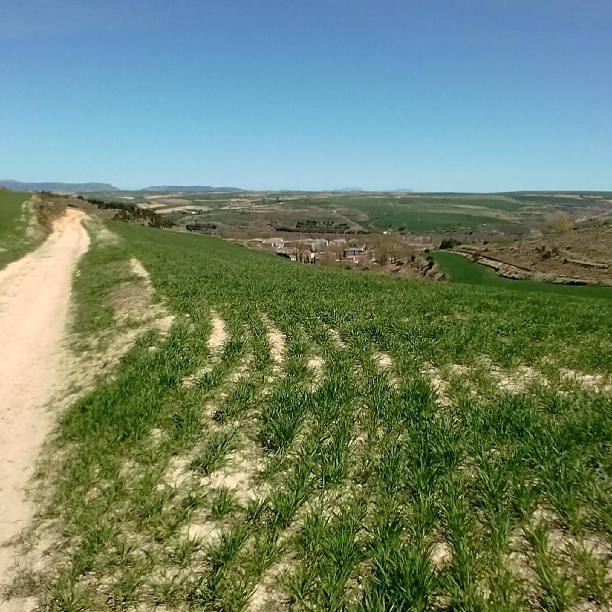
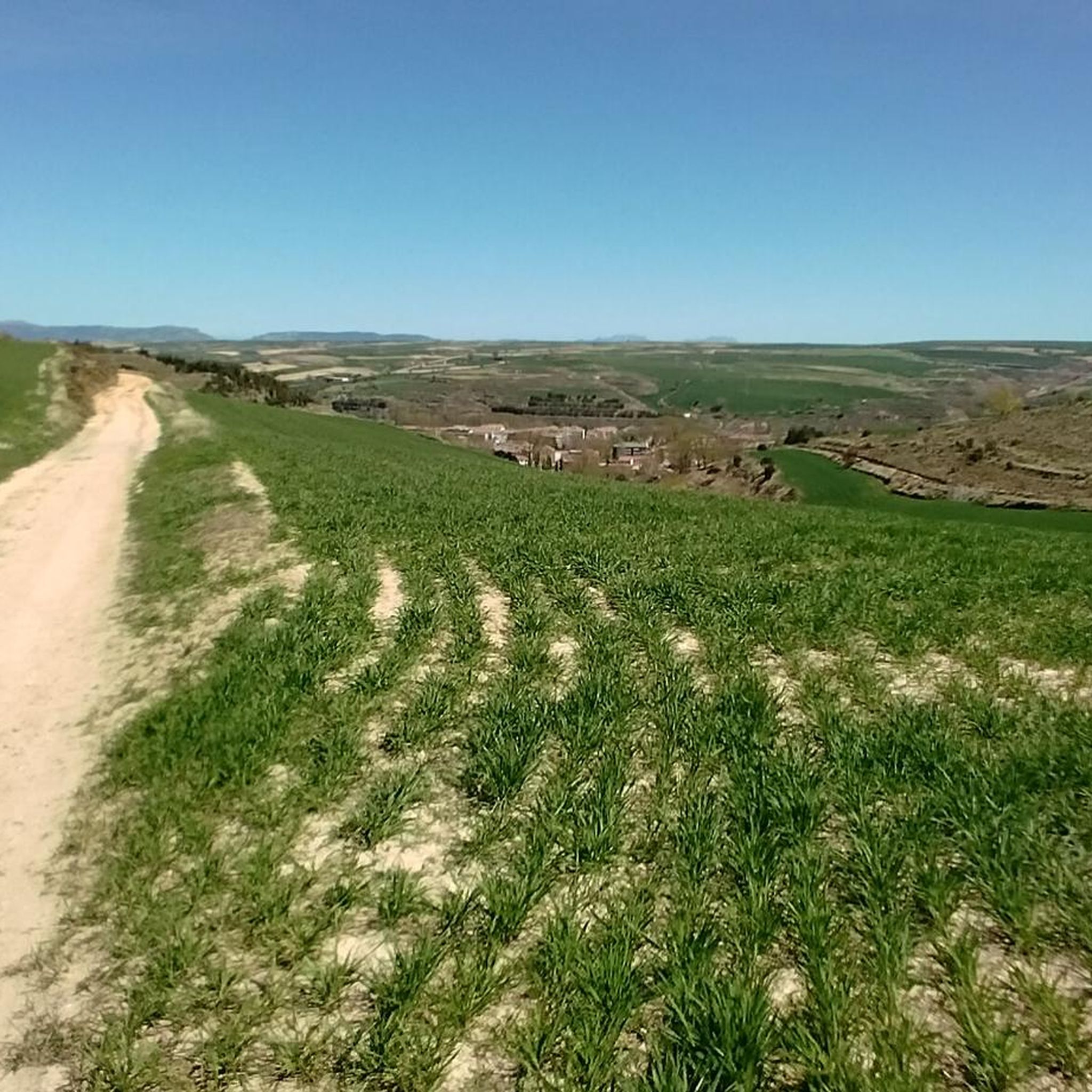
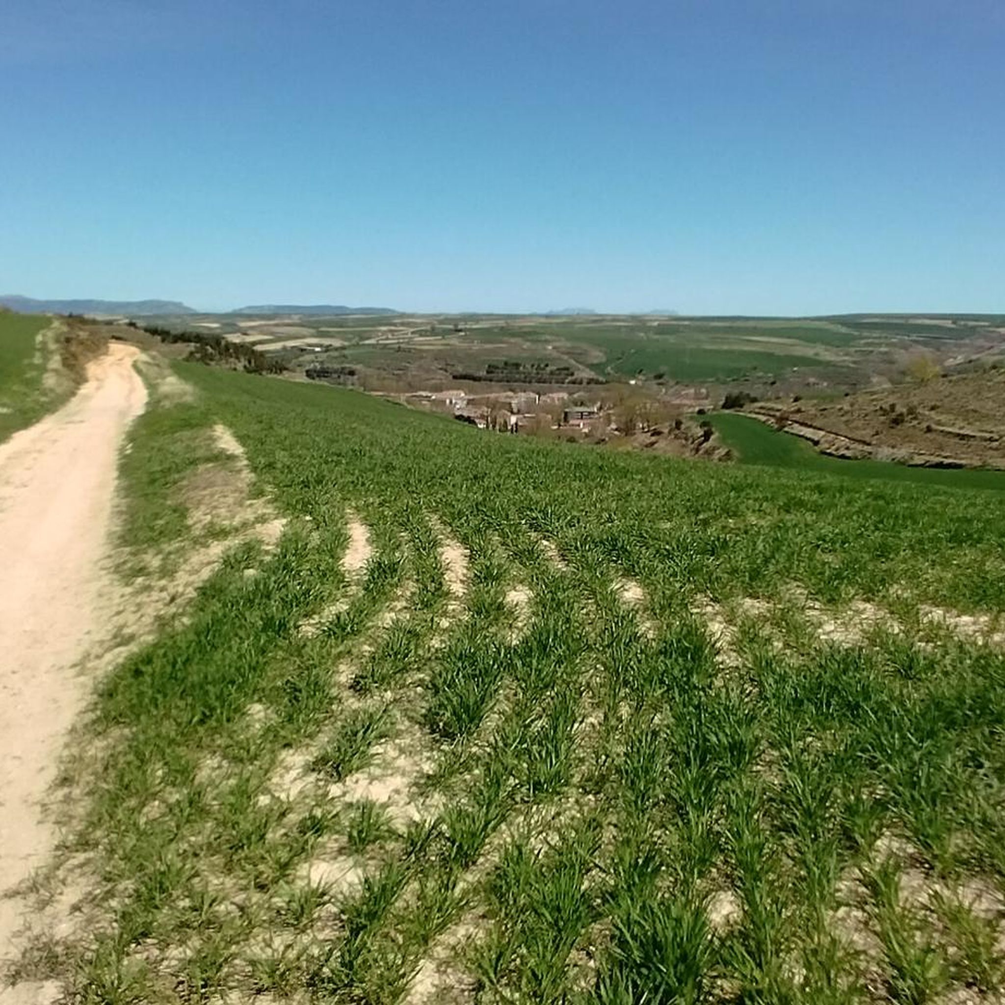
Hiking around Grisaleña offers access to a diverse landscape, primarily influenced by its proximity to the Parque Natural Montes Obarenes-San Zadornil. The region features the Montes Obarenes mountain range, characterized by deep gorges carved by rivers and a blend of oak, pine, and isolated beech forests. This topography provides varied terrain for hiking, from river valleys to mountain ascents.
Best hiking trails around Grisaleña
- The most popular hiking route is Portillo del Busto Trail, a moderate 7.5 miles (12.0…
Last updated: May 20, 2026
2
hikers
12.0km
03:47
490m
490m
Hike the moderate 7.5-mile Portillo del Busto Trail in Montes Obarenes-San Zadornil Natural Park for panoramic views.
4.7
(3)
16
hikers
11.6km
03:42
470m
470m
Moderate hike. Good fitness required. Easily-accessible paths. Suitable for all skill levels.

Sign up for free
7
hikers
9.86km
03:31
550m
550m
Moderate hike. Good fitness required. Easily-accessible paths. Suitable for all skill levels.
5.0
(1)
6
hikers
10.5km
03:25
450m
450m
Moderate hike. Good fitness required. Easily-accessible paths. Suitable for all skill levels.
4.0
(2)
7
hikers
12.0km
04:04
600m
600m
Moderate hike. Good fitness required. Easily-accessible paths. Suitable for all skill levels.
Get access to more routes and recommendations from other explorers.
Sign up for free
Already have an account?
Our route recommendations are based on thousands of hikes, rides, and runs completed by other people on komoot.
Start today with a free account
Your next adventure awaits.
Login or Signup
Popular around Grisaleña
Tips from the Community

A true boundary between zones, crossed by a road, just at an altitude of 1,000 metres.
1
0
A delightful viewpoint of the entire Bureba area.
1
0

a highly recommended area for hiking.
0
0
In this case I climbed from the south, from Soto de Bureba.
1
0
A good route, coming from the south.
2
0
To decide whether to go west (Lost Bread) or east (Petralata Castle). The second option is more dangerous, no doubt.
1
0
The climb is hard and I at least did not find any path, either up or down.
2
0
Frequently Asked Questions
What kind of hiking trails can I expect around Grisaleña?
Grisaleña offers a diverse range of hiking trails, primarily within the Parque Natural Montes Obarenes-San Zadornil. You'll find routes through the Montes Obarenes mountain range, featuring deep gorges carved by rivers like the Ebro and Oca, and varied forests of oak, pine, and isolated beech. The topography provides options from river valleys to more challenging mountain ascents.
Are there any easy hiking trails suitable for beginners or families?
Yes, there is at least one easy trail available. For a gentle and scenic walk, consider exploring the area around the Cascadas de Tobera, located just 17.8 km from Grisaleña. The 'El Paseo del Molinar' offers an easy, circular route following the Molinar River and its waterfalls, with options for shorter walks. While not explicitly listed as 'easy' in our data, the Portillo del Busto Trail is a moderate option that provides views within the natural park and is a popular choice.
What are some notable natural attractions or landmarks to see while hiking?
The region is rich in natural beauty and historical sites. You can explore the Portillo de Busto mountain pass, enjoy views from El Cueto or the Summit of Pan Perdido, and discover the unique Pozo Negro natural monument. The Windows are another interesting geological feature. Additionally, the Cascadas de Tobera offer enchanting waterfalls and the historic medieval bridge and hermitages of Nuestra Señora de la Hoz and Cristo de los Remedios.
Are there any circular hiking routes around Grisaleña?
Yes, several circular routes are available. The Summit of Pan Perdido – Windows loop from Navas de Bureba is a moderate 11.6 km path with panoramic viewpoints. Another option is the Cantoña – LaVerdina loop from Miraveche, which is 9.3 km and takes you through forested and open landscapes. For a slightly different starting point, consider the Summit of Pan Perdido – Windows loop from Quintanaélez.
What do other hikers say about the trails in Grisaleña?
The hiking routes in Grisaleña are highly rated by the komoot community, with an average score of 4.4 stars from 7 reviews. Hikers often praise the varied terrain, the natural beauty of the Montes Obarenes-San Zadornil Natural Park, and the options for different ability levels.
Can I bring my dog on the hiking trails in Grisaleña?
The Parque Natural Montes Obarenes-San Zadornil, which encompasses many trails around Grisaleña, generally permits dogs on trails, often requiring them to be on a leash to protect wildlife and ensure the safety of other hikers. It's always recommended to check specific park regulations or trail signs for any restrictions before heading out.
Are there any challenging hikes for experienced hikers?
Yes, for those seeking a more demanding experience, the region offers challenging routes. The CastroCuño – AltoDeLosEnemigos loop from Miraveche is a moderate route with significant elevation gain, covering 12 km and taking over 4 hours. Additionally, the Vía Ferrata Miraveche-Silanes, approximately 11.8 km from Grisaleña, provides an adventurous K3/K4 level experience for climbers.
What kind of wildlife can I expect to see while hiking?
The Parque Natural Montes Obarenes-San Zadornil is home to a variety of wildlife. Hikers may spot griffon vultures and eagles soaring overhead, and larger mammals such as wild boars and deer are also present, especially in the more secluded forest areas.
Is there public transport available to reach the hiking areas around Grisaleña?
Public transport options directly to specific trailheads around Grisaleña may be limited. It is generally advisable to have private transportation to access the more remote starting points within the Parque Natural Montes Obarenes-San Zadornil. Local bus services might connect Grisaleña to larger towns like Briviesca, from where further arrangements would be needed.
Where can I find parking when visiting the hiking trails?
Parking availability varies by trailhead. For trails originating directly from Grisaleña or nearby villages, you can often find street parking or small designated areas. For popular spots like the Cascadas de Tobera or specific trailheads within the Montes Obarenes Natural Park, there are usually small parking lots or roadside spaces. It's best to plan your route and check for parking information specific to your chosen starting point.
Are there any trails that feature waterfalls?
Absolutely! The Cascadas de Tobera, located about 17.8 km from Grisaleña, are a highlight for waterfall enthusiasts. The Molinar River flows through the village, creating numerous cascades. An easy, circular route known as 'El Paseo del Molinar' allows you to follow the river and enjoy the various waterfalls up close.
What is the best time of year to go hiking in Grisaleña?
The region around Grisaleña is enjoyable for hiking during spring, summer, and autumn. Spring offers lush greenery and pleasant temperatures, while autumn provides beautiful fall foliage. Summer can be warm, so early morning or late afternoon hikes are recommended. Winter hiking is possible but may require appropriate gear, especially at higher elevations within the Montes Obarenes.
Most popular attractions around Grisaleña

Get inspired with the komoot mobile app


Explore more
Browse the best Hikes in other regions.
