The best road cycling routes around Los Cerralbos
134
riders
9
rides
Road cycling around Los Cerralbos offers varied terrain within the province of Toledo, Spain. The area features extensive plains and gentle hills, providing diverse options for cyclists. Roads are generally well-maintained asphalt surfaces, suitable for both leisurely rides and more challenging climbs. The region's natural beauty includes surrounding mountains and forests, contributing to scenic routes.
Best road cycling routes around Los Cerralbos
- The most popular road cycling route is El Piélago Pass – Hinojosa de San Vicente loop from Garciotum, a 46.9 miles (75.5 km) trail that takes 3 hours 57 minutes to complete. This difficult route features significant elevation gain through varied landscapes.
- Another top favourite among local road cyclists is Garganta de Torinas – La Iglesuela del Tiétar loop from Castillo de Bayuela, a difficult 46.1 miles (74.3 km) path. This route includes challenging ascents and descents, passing through scenic rural areas.
- Local road cyclists also love the El Piélago Pass – Puerto del Piélago loop from Garciotum, a 39.9 miles (64.2 km) trail leading through mountainous terrain, often completed in about 3 hours 41 minutes.
- Road cycling around Los Cerralbos is defined by extensive plains, gentle hills, and well-maintained asphalt roads. The network offers options for different ability levels, from flat sections to more demanding climbs.
- The routes in Los Cerralbos are highly rated by the komoot community with an average score of 5.0 stars from 1 review. More than 300 road cyclists have used komoot to explore Los Cerralbos's varied terrain.
Last updated: October 27, 2026
78
riders
39.1km
01:35
220m
220m
Easy road ride. Mostly well-paved surfaces and easy to ride.
11
riders
102km
05:32
2,110m
2,110m
Hard road ride. Very good fitness required. Mostly well-paved surfaces and easy to ride.

10
riders
Moderate road ride. Good fitness required. Mostly well-paved surfaces and easy to ride.
9
riders
127km
06:56
2,640m
2,640m
Hard road ride. Very good fitness required. Mostly well-paved surfaces and easy to ride.
9
riders
Hard road ride. Very good fitness required. Some segments of this route may be unpaved and difficult to ride.
Get access to more routes and recommendations from other explorers.
Already have an account?
Our route recommendations are based on thousands of hikes, rides, and runs completed by other people on komoot.
Start today with a free account
Your next adventure awaits.

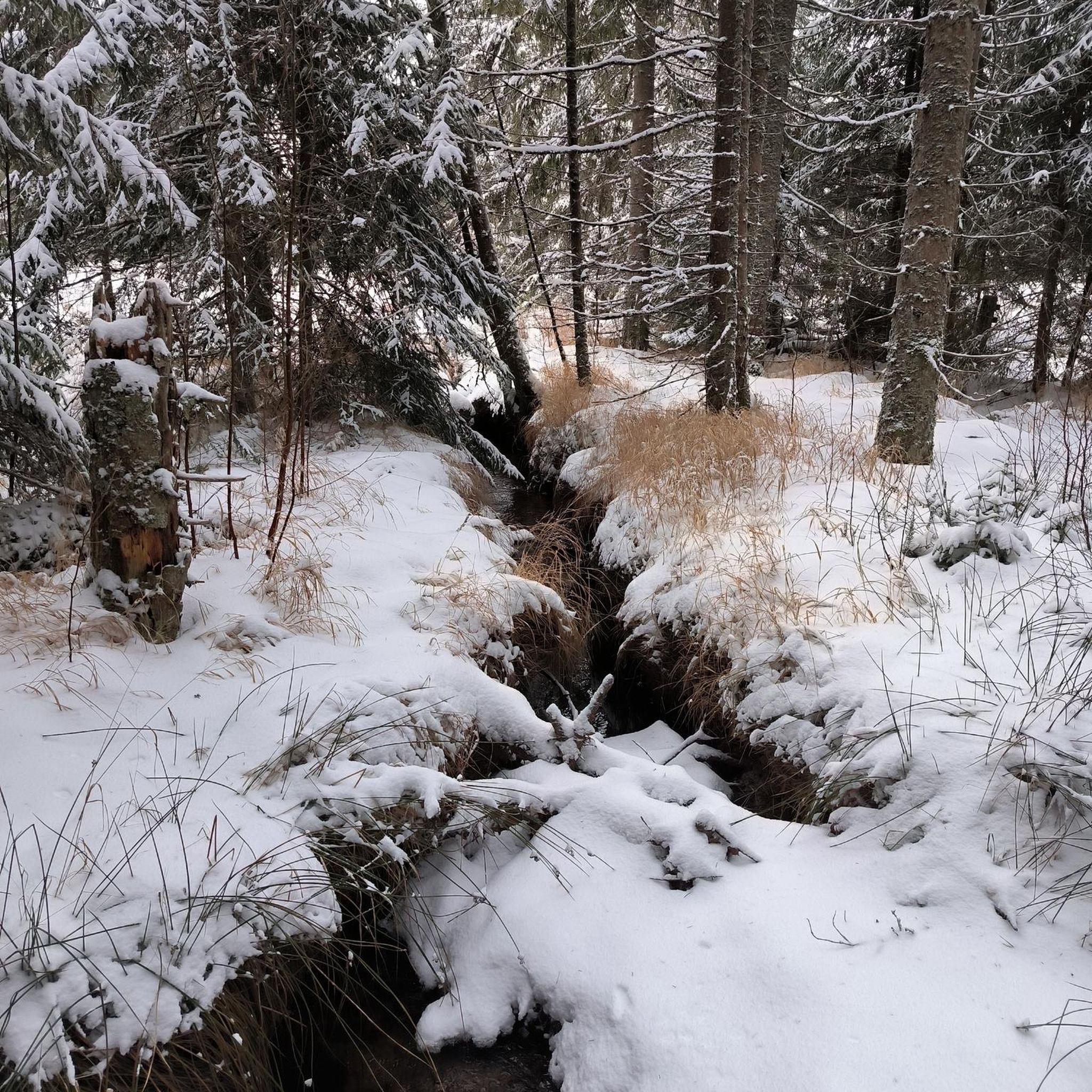
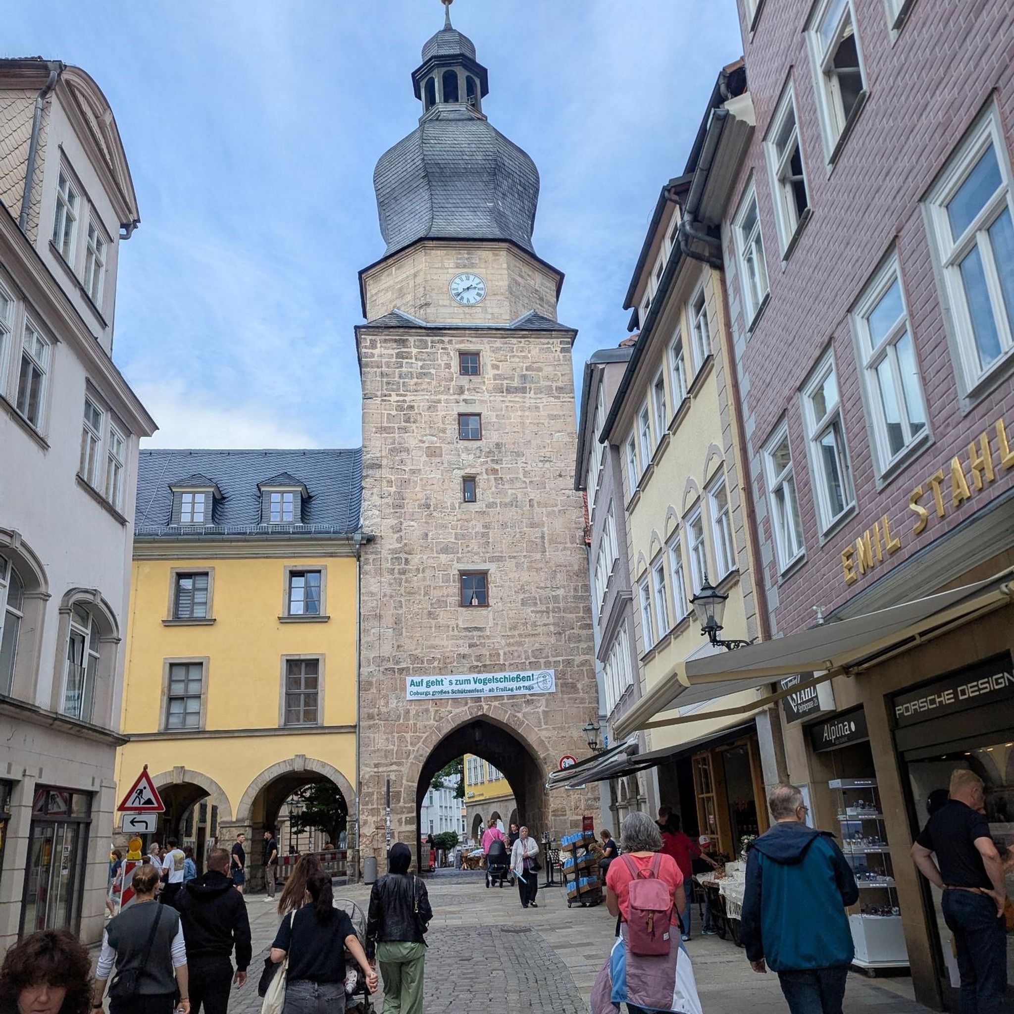

Tips from the Community

From the Puerto de El Piélago, the Sierra de San Vicente opens up over a landscape of mountains, pine forests, and wide Castilian horizons. The road climbs through forests until it reaches one of the most spectacular natural viewpoints in the province of Toledo, with views that reach the Sierra de Gredos on the clearest days.
1
0
The Pedro Bernardo Pass is one of the classic climbs in the Sierra de Gredos mountains, highly prized by cyclists and a regular feature of races like the Vuelta a España. First section: Up to the village (Pedro Bernardo), with gradients of 5-6%, a road in good condition, and spectacular views of the Tiétar Valley. Urban section: In the village, the gradient eases, even offering some flatter sections. Second section: After the village, the asphalt becomes rougher, and the toughest kilometer (7-8%) appears, followed by a "balcony" section with incredible views and a sustained 5% gradient to the summit.
1
0

El Real de San Vicente is located at the foot of the mountain range from which it takes its name, in a prime setting for outdoor activities. Its location is associated with military settlements in the 11th and 12th centuries. Remains of its millennia-long occupation are preserved in the village.
0
0
At the foot of the San Vicente mountain range lies San Román de los Montes, a town whose historical importance is evident in the impressive 16th-century Roll of Justice, crowned with four dog heads, found in its historic center.
0
0

The Puerto de Pedro Bernardo is the younger brother of the Puerto de Serranillos. Almost every time this port has been climbed in a professional race it is linked to the Puerto de Serranillos, only the second being considered a port. However, the Puerto de Pedro Bernardo is in itself a hill where you can go from the valley where the CL-501 road runs (where the town with the same name is located) to the valley of the Puerto de Pico, where Esteban del Valle and Mombeltrán are located. The chain with Serranillos is the most typical, as I said previously, although it is also worth chaining it with the Puerto de la Centenera or the Puerto del Pico. The road is rough, with hardly any shoulder and very little traffic. It is a very pleasant port to climb... as long as the heat is not suffocating.
2
0

Mijares is located on the southern slope of the Villafranca mountain range, near the Tiétar river. The town is surrounded by a natural environment with forests and mountains, which makes it an attractive place for nature and hiking lovers. The most important points of the town are the parish church of San Bartolomé Apóstol, rebuilt in the 18th century, and the Plaza Mayor, the nerve center of the municipality, where various businesses are located and local events and activities are held.
2
0
It extends along the eastern bank of the Tagus River and is the second most populated municipality in the province and the fourth in Castilla-La Mancha. Among its monuments are the Basilica of Our Lady of the Prado, which houses what is today the patron saint of the city. It was called Queen of the Hermitages by Philip II, it is also called the Sistine Chapel of ceramics, because this colorful art shows here all its splendor from the 16th century to the present day. The style of its construction is a combination of Renaissance and Baroque, although it has undergone various restorations over the centuries. It was elevated to the dignity of Basilica in 1989 by Pope John Paul II. In the Church of Santa María La Mayor (La Colegial) you can admire its pure Gothic cloister, which was built around the year 1469. Its floor plan is rectangular, made up of three longitudinal naves and without a transept. In the years 1704 and 1705 the two upper sections of the Tower were added.
10
0

Its name refers to the aromatic fennel plant, abundant in this area. In addition to the surroundings, the town's urban complex and the Church of La Concepción are worth a visit. Also worth visiting are the remains of the castle, built on top of an Islamic tower. A few meters from the castle, you can visit the cave where, according to tradition, Saints Vincent, Sabina, and Christeta, Martyrs of Talavera, took refuge during the Dacian persecution.
0
0
Frequently Asked Questions
How many road cycling routes are available around Los Cerralbos?
There are 11 road cycling routes around Los Cerralbos listed on komoot. These routes offer a variety of distances and difficulties, catering to different preferences.
What kind of terrain can I expect on road cycling routes in Los Cerralbos?
Road cycling around Los Cerralbos features varied terrain, including extensive plains and gentle hills, with some routes venturing into more mountainous areas like the Montes de Toledo. The roads are generally well-maintained asphalt surfaces, offering a mix of flat sections for distance and more demanding climbs for experienced riders.
When is the best time of year for road cycling in Los Cerralbos?
The climate in the Toledo province generally provides optimal conditions for cycling for most of the year. Spring and autumn are particularly pleasant, offering mild temperatures and beautiful scenery. Summers can be hot, so early morning or late afternoon rides are recommended.
Are there routes suitable for beginners or less experienced road cyclists?
Yes, while many routes are challenging, there are 2 easy and 3 moderate routes available. The region's general terrain includes 'wide and safe paths' with mostly flat altimetry and gentle elevations, making it suitable for those seeking distance without significant climbs. Look for routes with lower elevation gain and shorter distances for a more relaxed experience.
What are some challenging road cycling routes for experienced riders?
For experienced cyclists seeking a challenge, routes like El Piélago Pass – Puerto del Piélago loop from Garciotum, which covers 39.9 miles (64.2 km) with significant elevation, or El Piélago Pass – Mijares loop from Castillo de Bayuela, a 102 km route with over 2100m of ascent, offer demanding climbs and rewarding views.
What natural features or landmarks can I see along the road cycling routes?
While cycling, you might encounter various points of interest. Some routes pass near the Cazalegas Reservoir, offering scenic views. The broader region also boasts natural attractions like the impressive 'cascada del Chorro' waterfall in Los Cerralbos itself, and the spectacular Barrancas de Burujón clay cliffs formed by the Tagus River, which are worth exploring.
Are there any historical or cultural sights near the cycling routes?
Yes, the area is rich in history. You can find historical monuments such as the Rollo de Justicia of Castillo de Bayuela, Malpica Castle, and the Cebolla Castle Ruins. Los Cerralbos itself has the Church of San Miguel Arcángel and an Ethnographic Museum, adding cultural depth to your visit.
What do other road cyclists enjoy most about road cycling in Los Cerralbos?
The road cycling routes around Los Cerralbos are highly rated by the komoot community, with an average score of 5.0 stars. Cyclists often praise the varied terrain, from extensive plains to gentle hills, and the well-maintained asphalt roads that allow for both leisurely rides and challenging climbs through scenic landscapes.
Are there any circular road cycling routes available?
Yes, many of the routes around Los Cerralbos are designed as loops, allowing you to start and finish in the same location. Examples include the El Piélago Pass – Hinojosa de San Vicente loop from Garciotum and the Garganta de Torinas – La Iglesuela del Tiétar loop from Castillo de Bayuela.
What are the typical distances for road cycling routes in this area?
The road cycling routes around Los Cerralbos vary significantly in length. You can find routes ranging from moderate distances, such as the Hinojosa de San Vicente Climb – Hinojosa de San Vicente loop from Cazalegas at 41.3 km, to much longer and more challenging rides like the El Piélago Pass – Mijares loop from Castillo de Bayuela, which is over 102 km.
Is the area suitable for road cycling with little traffic?
The region research indicates that roads around the Montes de Toledo, which are accessible from Los Cerralbos, are known for having 'good firm and little traffic'. This makes them ideal for both in-depth training and enjoying the scenic landscape without heavy vehicle interference.
Most popular attractions around Los Cerralbos

Get inspired with the komoot mobile app


Explore more
Browse the best Road cycling routes in other regions.
