The best running trails around Castillo De Bayuela
70
runners
12
runs
Jogging routes around Castillo De Bayuela offer a blend of natural beauty and historical landscapes within the Sierra de San Vicente. The region features fresh forests, streams winding through granite rocks, and varied terrain from relatively flat paths to challenging inclines. Prominent hills like Cerro del Castillo provide panoramic views and historical elements, including medieval ruins. This area is ideal for runners seeking diverse surfaces and inspiring scenery.
Best jogging routes around Castillo De Bayuela
- The most popular jogging route…
Last updated: June 28, 2026
2
runners
10.6km
01:37
580m
580m
Hard run. Very good fitness required. Mostly accessible paths. Some sure footedness required.
23
runners
19.0km
02:46
870m
870m
Hard run. Very good fitness required. Mostly paved surfaces. Suitable for all skill levels.

Sign up for free
13
runners
9.65km
01:17
290m
290m
Moderate run. Good fitness required. Mostly paved surfaces. Suitable for all skill levels.
5
runners
14.9km
02:12
600m
600m
Hard run. Very good fitness required. Mostly paved surfaces. Suitable for all skill levels.
5
runners
Moderate run. Good fitness required. Mostly paved surfaces. Suitable for all skill levels.
Get access to more routes and recommendations from other explorers.
Sign up for free
Already have an account?
Our route recommendations are based on thousands of hikes, rides, and runs completed by other people on komoot.
Start today with a free account
Your next adventure awaits.
Login or Signup

Tips from the Community

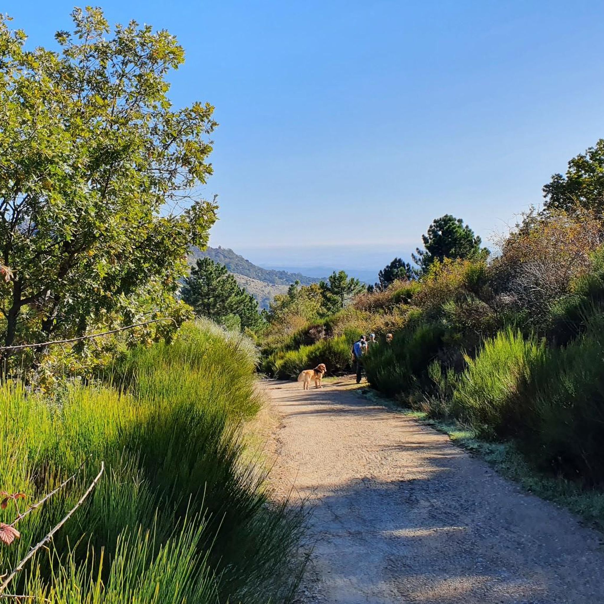
The port of Piélago is located at an altitude of 1,222 meters and is a classic of Toledo cycling. It is located in Real de San Vicente and is a pass between the north and south slopes of the Sierra de San Vicente. Towards the south face there are good views of the Toledo steppe.
0
0

old chapel ruins, from there a view of the castle ruins and an imposing view
1
0


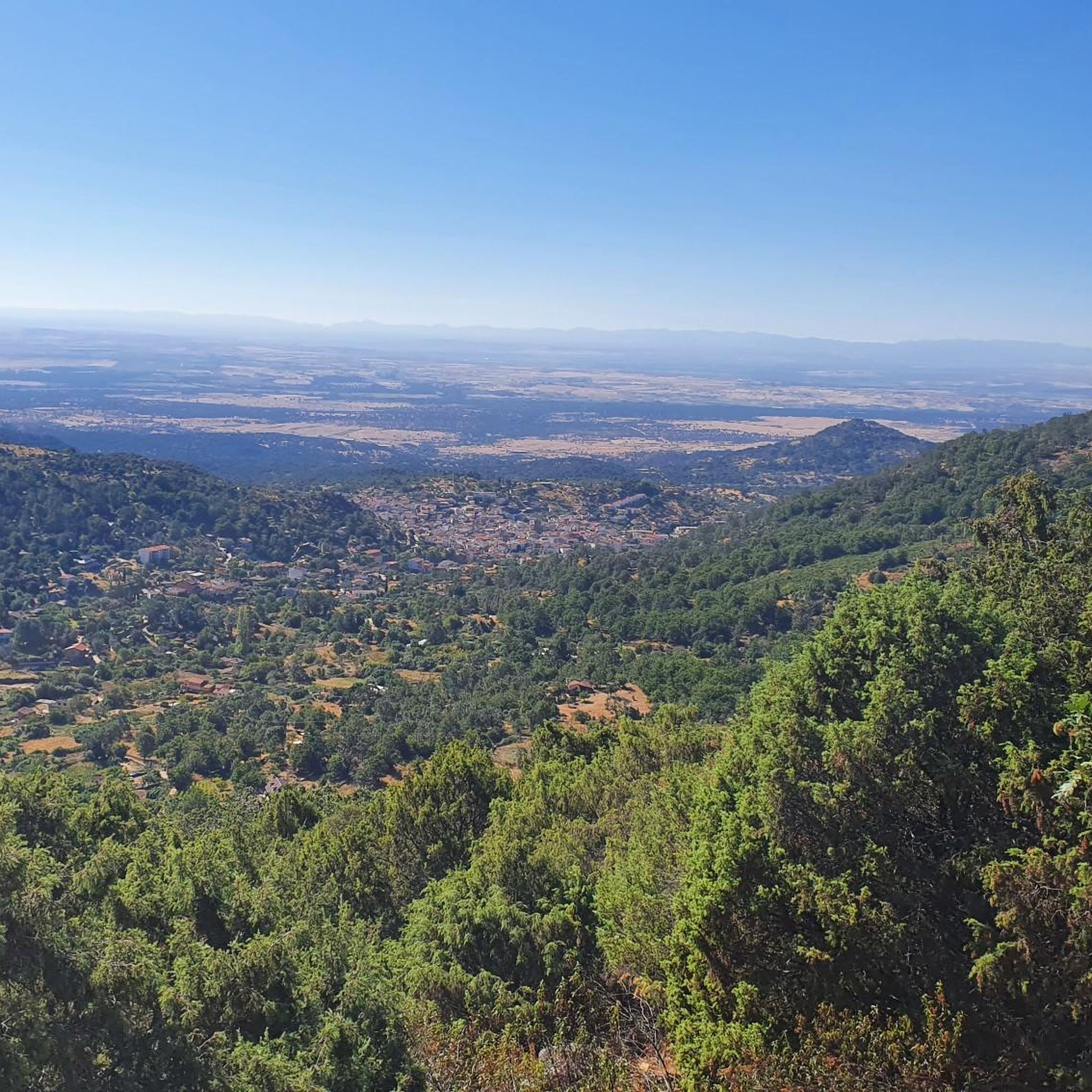
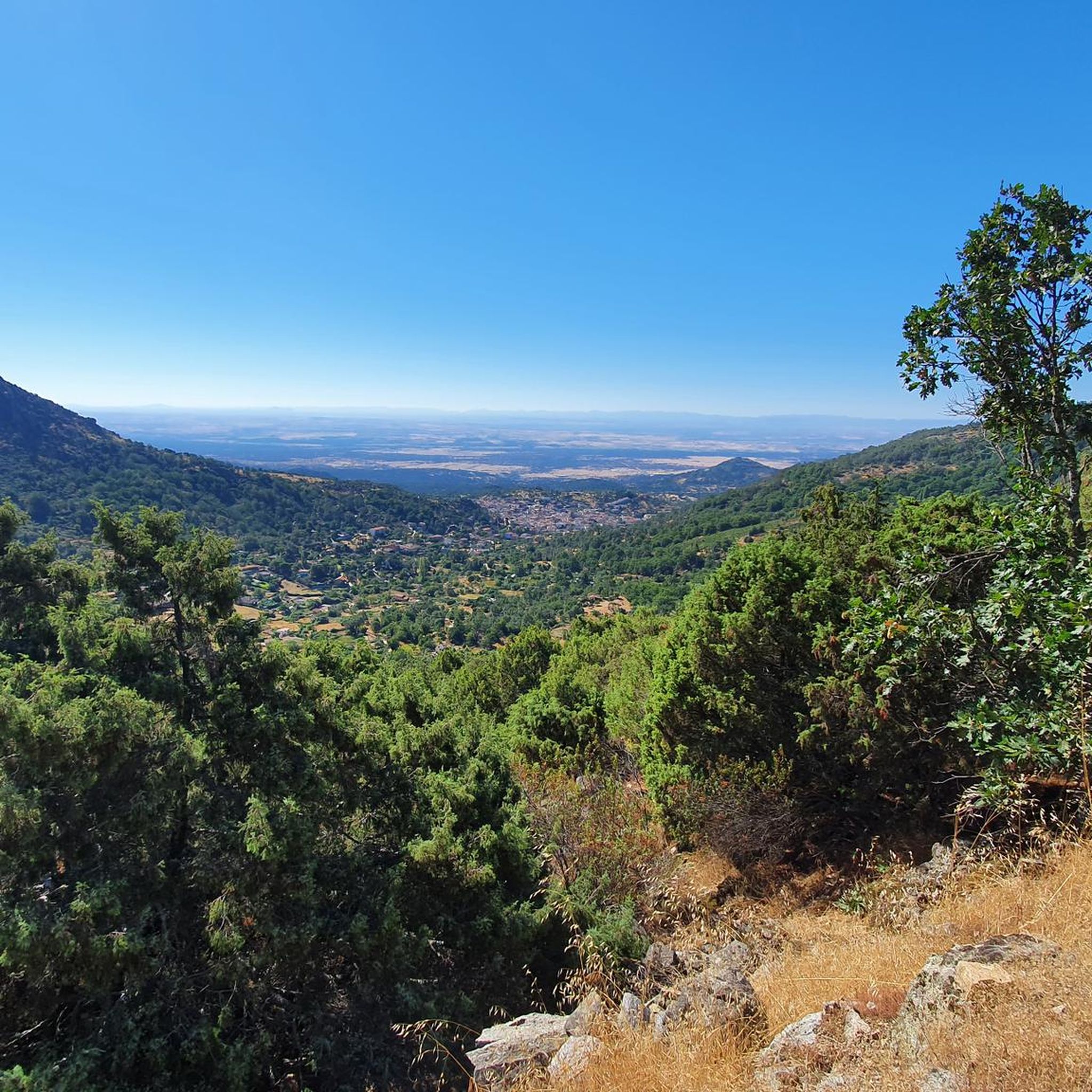
The top of Cruces at 1373 meters above sea level. It is one of the most impressive panoramic points in the Navamorcuende region. It offers beautiful views in all directions, so I recommend you take some time and enjoy the beautiful views while you recharge your batteries after the climb.
1
0
Declared a Site of Cultural Interest, the church in the village of Navamorcuende is a building well worth a visit. Its Renaissance style stands out for its large buttresses, built in the 16th century, and the stone used takes on a distinctive hue on rainy days and in autumn.
2
0
The summit of Cruces at 1,373 meters above sea level is one of the most impressive panoramic points in the Navamorcuende region. It offers beautiful views in all directions so I recommend taking some time and enjoying the beautiful views while having a picnic up here to recharge your batteries.
1
0
Located at 1,320 meters above sea level, the top of Cerro San Vicente offers wonderful views of this area of Toledo and you can even see the Sierra de Gredos park and Alto Tiétar.
3
0

The two trails that leave the Puerto de San Vicente towards the top of the mountain lead to the landmark of the San Vicente peak (1,321 m). On one side of the summit, with extraordinary views of the Sierra de Gredos and the high Tiétar, are the ruins of a hermitage built in the old Cueva de los Mártires, where three brothers lived fleeing from the Romans. On a hill to the south are the remains of an old fortress of Umayyad origin that was in the hands of the Temple. The hill is the Mons Veneris of the Romans, the Mount of Venus where they worshiped the goddess of love and beauty. And it was also a place of worship for the Vetton peoples who lived in the mountains long before, without a doubt a very special summit. The trail returns to the port of San Vicente through the same site and descends towards El Real de San Vicente along the PR-TO 21, once again crossing the monumental chestnut grove of La Tejea.
1
0
Frequently Asked Questions
How many running routes are available in Castillo De Bayuela?
There are 12 dedicated running routes around Castillo De Bayuela, offering a variety of experiences for different fitness levels.
What kind of terrain can I expect on the running trails around Castillo De Bayuela?
The terrain is quite varied, ranging from relatively flat paths to more challenging inclines, especially around hills like Cerro del Castillo. You'll encounter fresh forests, streams winding through granite rocks, and natural, unpaved trails, characteristic of the Sierra de San Vicente.
Are there any easy or moderate running routes in Castillo De Bayuela?
Yes, while some routes are challenging, there are 7 moderate running routes available. For example, the Santa María de la Nava loop from Navamorcuende is a moderate 9.7 km trail, and the Puerto del Piélago – San Vicente Hill (1320m) loop from Campamento El Piélago is a moderate 8.4 km option.
What natural features can I expect to see while running in Castillo De Bayuela?
You'll experience the fresh forests and streams of the Sierra de San Vicente, with water features like the Guadamora and Saucedoso arroyos. The area is also known for its granite rock formations and the panoramic views from prominent hills like San Vicente Hill (1320m).
Are there any historical landmarks or points of interest along the running routes?
Absolutely. Running around Castillo De Bayuela offers a journey through history. You can find medieval ruins and remnants of an ancient wall on Cerro del Castillo, as well as the Ermita de Nuestra Señora del Castillo. The area also features preserved ancient flour mills and the historic Puente de los Molinos along the streams.
Are there any circular running routes available?
Yes, many of the routes are designed as loops. Examples include the San Vicente Hill (1320m) – Puerto del Piélago loop from Navamorcuende, the Santa María de la Nava loop from Navamorcuende, and the Puerto del Piélago – San Vicente Hill (1320m) loop from Campamento El Piélago.
What are the best routes for challenging runs with significant elevation gain?
For a challenging run, consider routes like the PR-TO 21 Cabeza del Oso y Pelados Trail, which is 10.6 km with significant elevation through the Sierra de San Vicente. Another difficult option is the 19.0 km San Vicente Hill (1320m) – Puerto del Piélago loop from Navamorcuende, offering expansive views and a substantial physical test.
Can I find routes that offer panoramic views?
Yes, the region is known for its panoramic vistas. Running around or up the Cerro del Castillo provides spectacular views of mountains and valleys. The San Vicente Hill (1320m) is a prominent feature offering excellent viewpoints.
What do other runners enjoy most about the trails in Castillo De Bayuela?
Runners frequently praise the blend of natural beauty and historical landscapes. The profound silence of the Sierra, accompanied by the sounds of birds and wind, creates an invigorating experience. The varied terrain and inspiring views, especially from Cerro del Castillo, are also highly appreciated.
Is Castillo De Bayuela a good destination for trail running?
Yes, with its varied terrain, including 'senderos' (trails) and forests, and the 'texture rugosa de las murallas y piedras del cerro' (rough texture of the walls and stones of the hill), Castillo De Bayuela is an excellent destination for trail running enthusiasts seeking natural, unpaved paths and a mix of challenges.
What is the best time of year to go running in Castillo De Bayuela?
The region's landscape changes beautifully with each season, offering a unique experience year-round. However, spring and autumn generally provide the most comfortable temperatures for running, with pleasant light and country aromas enhancing your run.
Are there any specific highlights or attractions to look out for near the running paths?
Beyond the routes themselves, you can explore the charming rural mountain architecture of the village, including the 15th-century Church of San Andrés Apóstol. Other notable highlights include San Vicente Hill (1320m) and El Piélago Pass, which are often part of or near the running routes.
Most popular routes around Castillo De Bayuela
Most popular attractions around Castillo De Bayuela

Get inspired with the komoot mobile app


Explore more
Browse the best Running Trails & Routes in other regions.
