The best cycling routes around O Pino
4.4
(234)
2,514
riders
82
rides
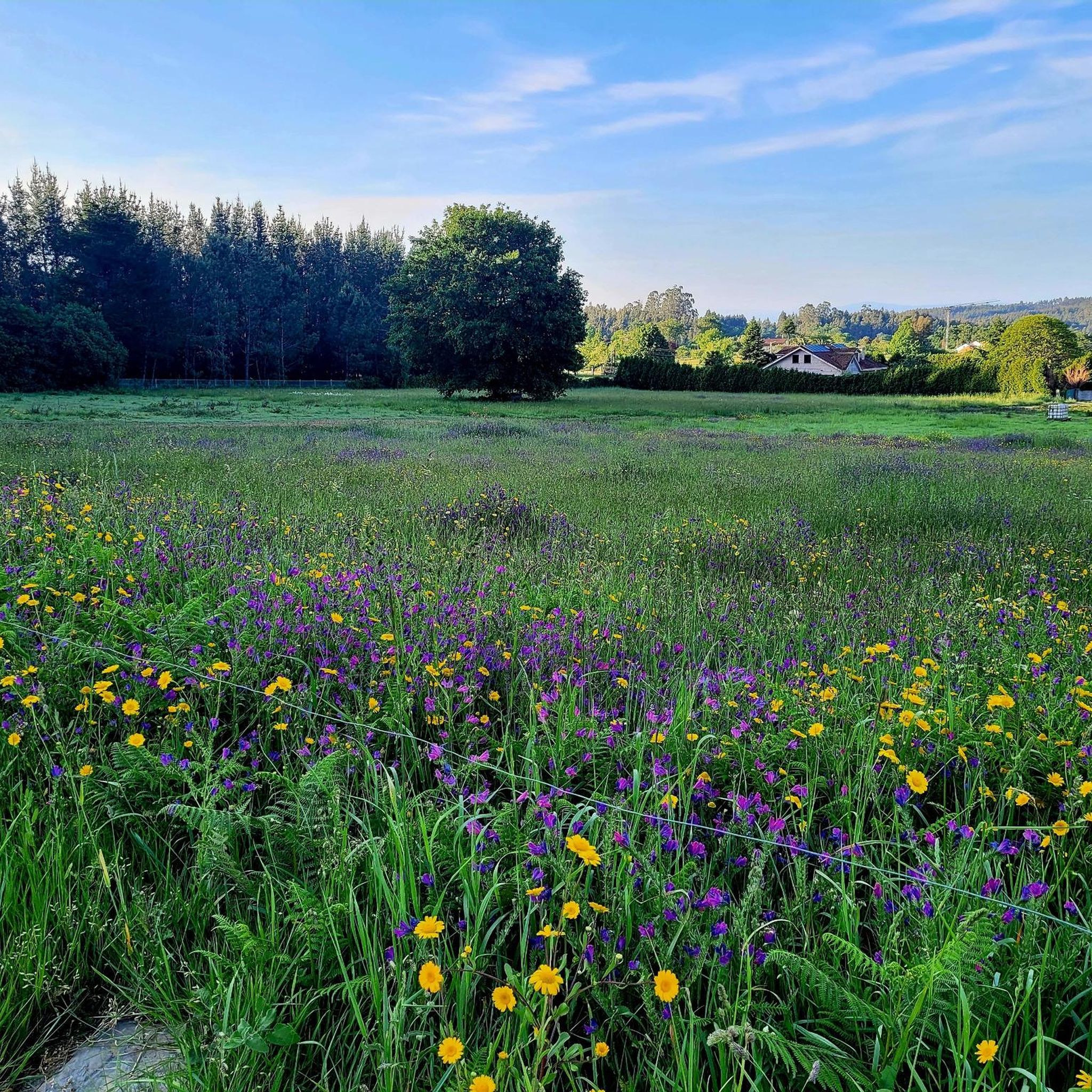
Touring cycling routes around O Pino, Galicia, Spain, traverse a landscape characterized by gently undulating terrain and elevations typically ranging between 200 and 450 meters. The region features a harmonious blend of dense forests, including eucalyptus, oak, and pine groves, alongside open fields. Ancient pathways, some unpaved, offer a classic cycling experience, particularly along the Camino de Santiago. The municipality is also bordered by the Tambre and Ulla rivers, contributing to its varied natural environment.
Best touring cycling routes around O Pino
- The most popular touring cycling route is 💧 Water – Enchanted forest loop from Santiago - Rosalia de Castro Airport, a difficult 20.5 miles (33.0 km) trail that takes 2 hours 10 minutes to complete. This route leads through scenic forest paths.
- Another top favourite among local touring cyclists is Ancient Forest Path – Ponte do Sar loop from Santa Irene, a difficult 56.6 miles (91.0 km) path. This route explores dense, ancient forest trails and open landscapes.
- Local touring cyclists also love the Mural of a Pilgrim and Shell – Santa Irene Fountain loop from Arzúa, a 21.8 miles (35.2 km) trail leading through areas with Camino de Santiago landmarks, often completed in about 2 hours 38 minutes.
- Touring cycling around O Pino is defined by dense forests, open fields, and riverine environments. The network offers options for different ability levels, from moderate to difficult.
- The routes in O Pino are highly rated by the komoot community with an average score of 4.4 stars from over 200 reviews. More than 2000 touring cyclists have used komoot to explore O Pino's varied terrain.
Last updated: July 1, 2026
4.6
(8)
52
riders
87.5km
06:12
1,540m
1,550m
Hard bike ride. Very good fitness required. Mostly paved surfaces. Suitable for all skill levels.
4.8
(17)
148
riders
Hard bike ride. Very good fitness required. Mostly paved surfaces. Suitable for all skill levels.

Sign up for free
4.5
(4)
70
riders
98.6km
06:48
1,330m
1,330m
Hard bike ride. Very good fitness required. Mostly paved surfaces. Suitable for all skill levels.
3.8
(4)
37
riders
91.1km
06:20
1,490m
1,490m
Hard bike ride. Very good fitness required. Mostly paved surfaces. Suitable for all skill levels.
4.4
(8)
59
riders
35.2km
02:38
560m
560m
Hard bike ride. Very good fitness required. Mostly paved surfaces. Suitable for all skill levels.
Get access to more routes and recommendations from other explorers.
Sign up for free
Already have an account?
Our route recommendations are based on thousands of hikes, rides, and runs completed by other people on komoot.
Start today with a free account
Your next adventure awaits.
Login or Signup
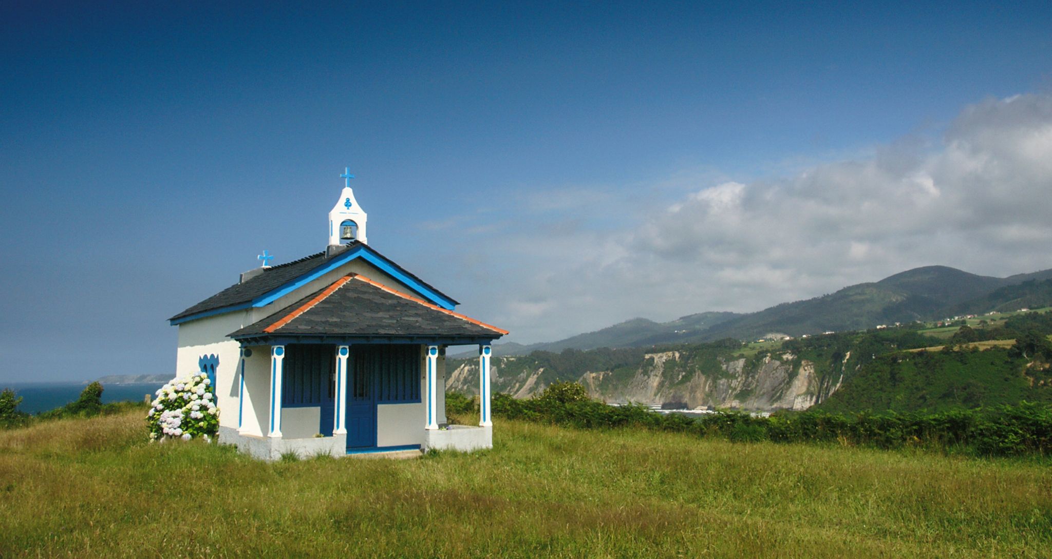

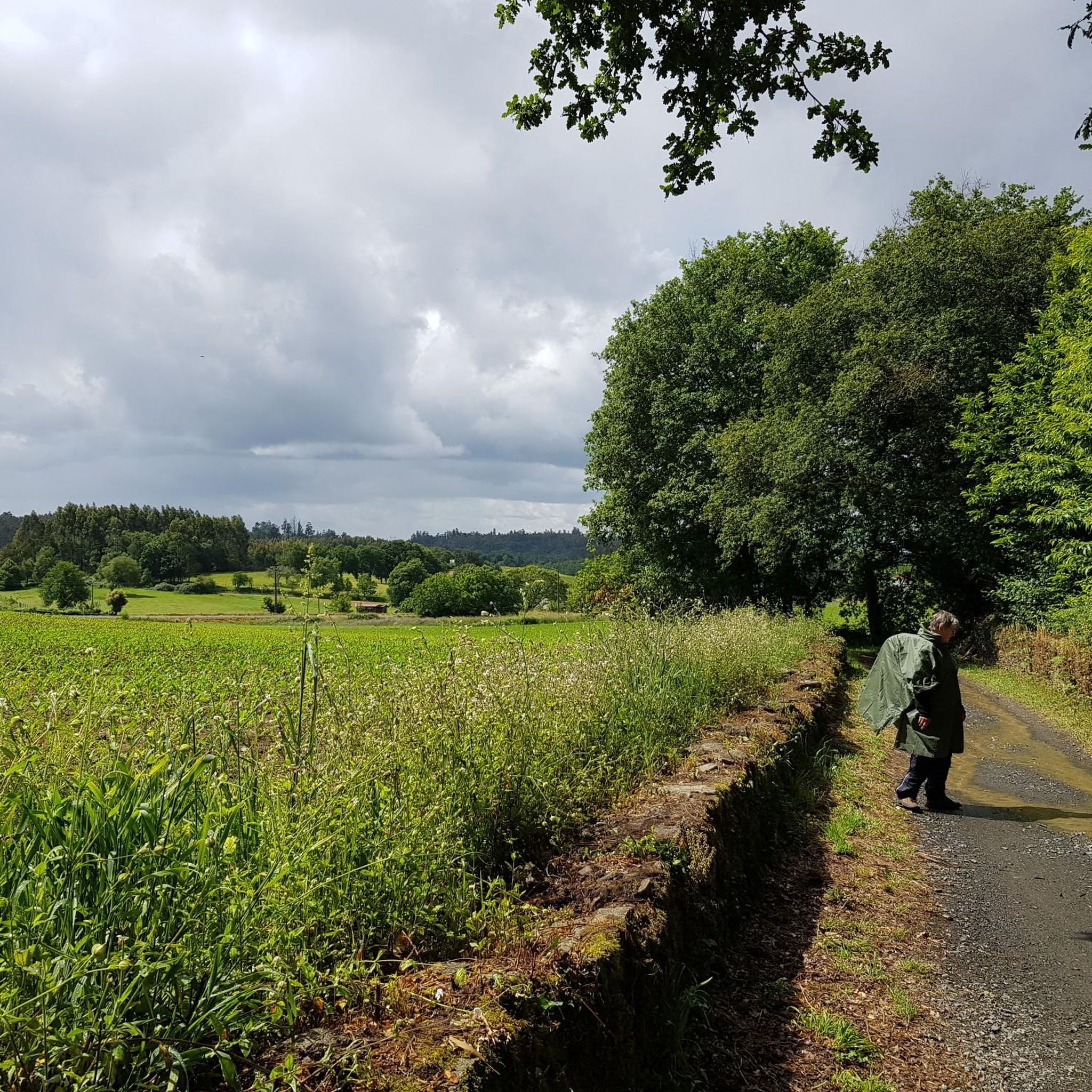
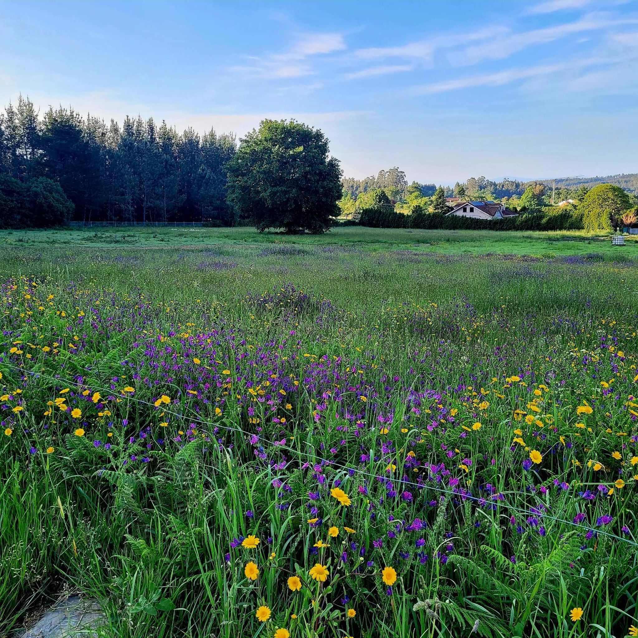

Other adventures around O Pino

Tips from the Community

Welcome to Santiago de Compostela. It's not far now 🤙
1
0


The village of Arzua, in reality, apart from accommodation and refreshments, does not offer much and the outskirts are quite sad and abandoned.
5
0

Then the cathedral is not far away
6
0

A bit bumpy, but it's also possible by bike
0
0

Frequently Asked Questions
How many touring cycling routes are available in O Pino?
There are over 70 touring cycling routes around O Pino, offering a variety of experiences for cyclists. These routes range from easy to difficult, with the majority catering to more experienced riders.
What is the typical terrain like for touring cycling in O Pino?
The terrain in O Pino is generally smooth and gently undulating, with elevations typically ranging between 200 and 450 meters. You'll cycle through a harmonious blend of dense forests, including fragrant eucalyptus, oak, and pine groves, alongside open fields. Many routes follow ancient pathways, some of which are unpaved dirt paths, providing a classic Camino cycling experience.
What are the difficulty levels of touring cycling routes in O Pino?
O Pino offers a range of difficulty levels for touring cyclists. While there are 3 easy routes and 19 moderate routes, the majority of the 70 available routes, specifically 48, are considered difficult. This makes it an ideal destination for cyclists looking for a challenge, though options exist for varying fitness levels.
Are there any circular touring cycling routes in O Pino?
Yes, many touring cycling routes in O Pino are designed as loops, allowing you to start and finish at the same point. For example, you can explore the 💧 Water – Enchanted forest loop from Santiago - Rosalia de Castro Airport or the longer Ancient Forest Path – Ponte do Sar loop from Santa Irene, both offering a complete circular journey.
What do other cyclists say about touring in O Pino?
The touring cycling routes in O Pino are highly rated by the komoot community, with an average score of 4.4 stars from over 200 reviews. Cyclists often praise the region's blend of natural beauty, the historical significance of the Camino de Santiago, and the varied terrain that keeps rides engaging.
What natural features or landmarks can I see along the touring cycling routes?
O Pino's routes often pass through lush forests and along riverine environments. You can encounter significant Camino de Santiago landmarks such as the Santa Irene Fountain. Other notable natural features include the Eucalyptus Forest on the Camino de Santiago and the Batán Waterfall. The region is also bordered by the Tambre and Ulla rivers.
Are there any historical points of interest to explore while cycling?
Absolutely. As O Pino is a key segment of the Camino de Santiago, you'll find various historical points of interest. These include traditional 'milladoiros' (piles of stones left by pilgrims) and a bronze sculpture commemorating pilgrim William Watt. Slightly outside the immediate municipal limits, the beautiful Ribadiso Medieval Bridge near the Iso River is also a significant historical attraction.
Are there any family-friendly touring cycling routes in O Pino?
While many routes in O Pino are rated as difficult, there are 3 easy routes suitable for families or those seeking a more relaxed ride. These routes typically feature the region's gently undulating terrain and picturesque rural landscapes, making them enjoyable for all ages. Look for routes specifically marked as 'easy' on komoot.
Can I find routes that offer scenic viewpoints?
Yes, O Pino's varied landscape provides several opportunities for scenic views. For instance, the View of the Cathedral of Santiago de Compostela from Monte do Gozo is a particularly rewarding sight for cyclists nearing the end of the Camino. Many routes also traverse open fields and elevated sections offering panoramic vistas of the Galician countryside.
What is the best time of year for touring cycling in O Pino?
The generally smooth and gently undulating terrain of O Pino makes it enjoyable for touring cycling across several seasons. Spring and autumn typically offer pleasant temperatures and lush scenery, ideal for exploring the forests and ancient pathways. Summer can also be suitable, especially with the shaded paths provided by the dense forests.
Are there opportunities for wildlife spotting along the cycling routes?
Cycling through O Pino's dense forests of eucalyptus, oak, pine, and chestnut trees, as well as open fields, provides a good chance to observe local wildlife. The region's natural environment, including the Tambre and Ulla rivers, supports a variety of birds and small mammals, offering a refreshing natural experience.
Are there any routes that pass through or near settlements where I can find services?
Yes, many routes, especially those following the Camino de Santiago, will pass through or near settlements. O Pedrouzo, the municipal capital of O Pino, is well-equipped with services catering to pilgrims and cyclists, including accommodations and dining options. The Mural of a Pilgrim and Shell – Santa Irene Fountain loop from Arzúa, for example, connects areas with such amenities.
Most popular attractions around O Pino

Get inspired with the komoot mobile app


Explore more
Browse the best Cycling routes in other regions.
