The best walks and hikes around Valdepolo
4.3
(6)
44
hikers
18
hikes
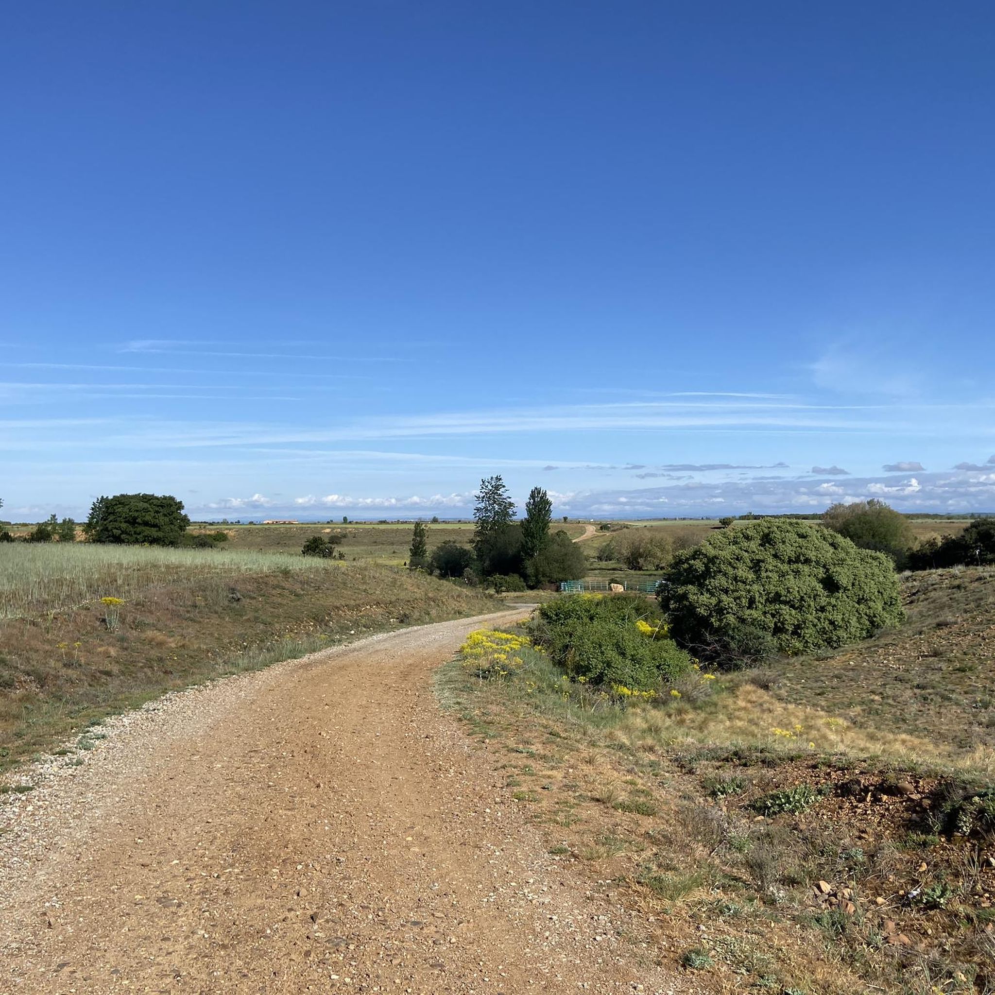
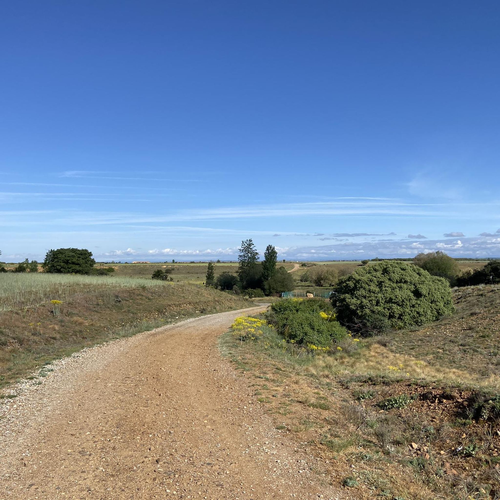
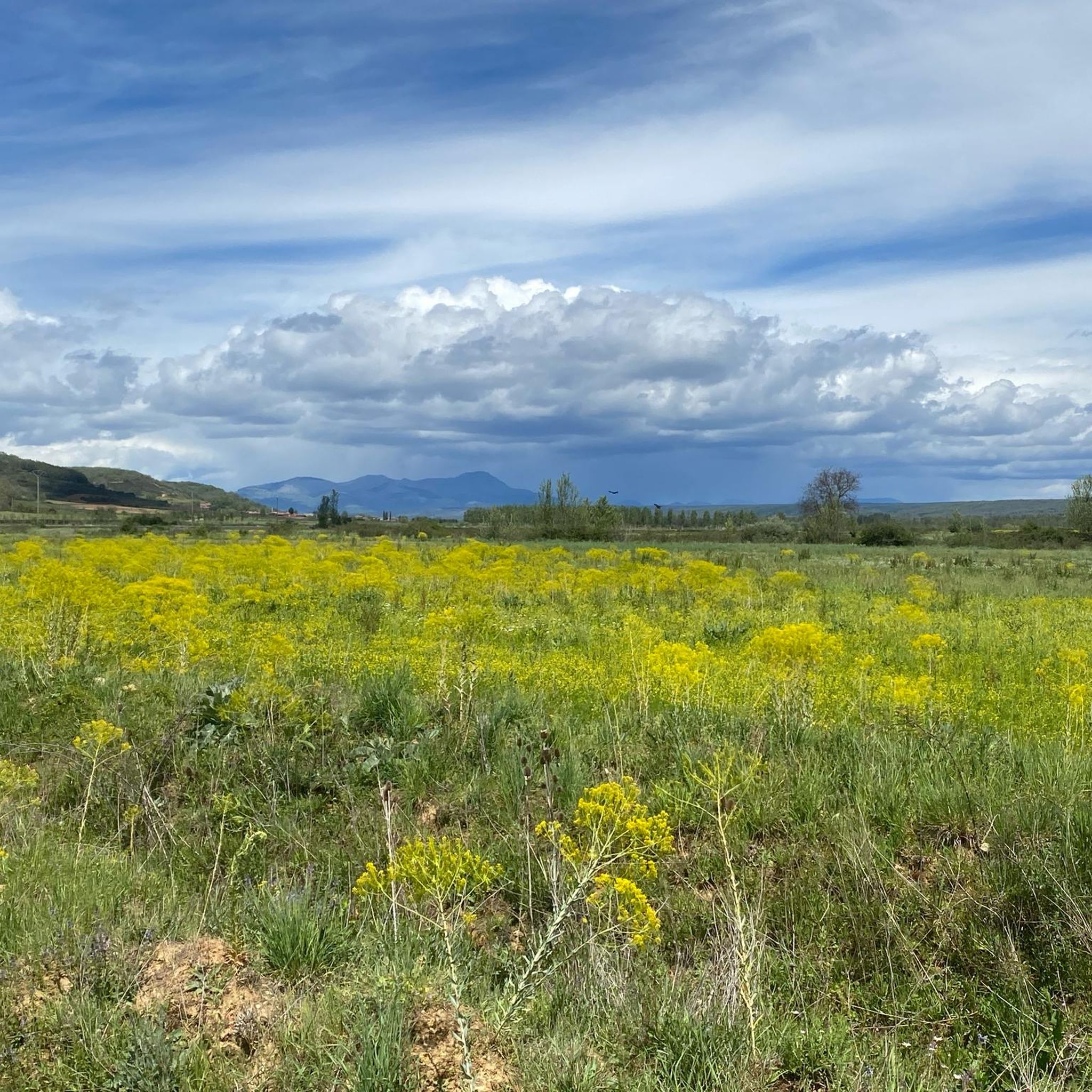
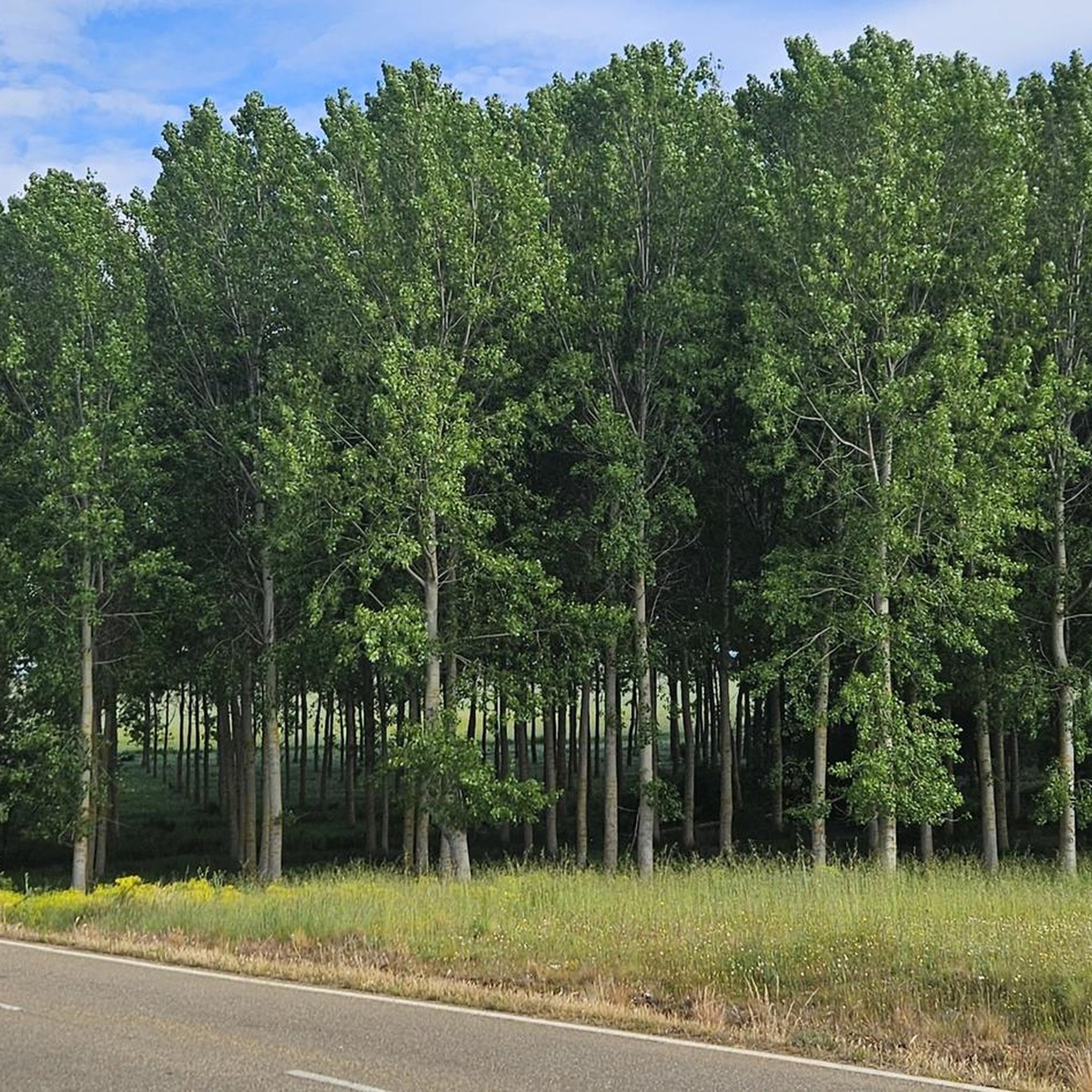
Hiking around Valdepolo offers a variety of trails through its rural landscape. The region is characterized by gentle hills, open fields, and scattered woodlands, providing accessible paths for outdoor activities. Many routes follow established tracks and country lanes, connecting small villages and natural areas. The terrain generally features modest elevation changes, making it suitable for a range of hiking abilities.
Best hiking trails around Valdepolo
- The most popular hiking route is La Casita del Duende – round trip from Villanófar…
Last updated: July 1, 2026
5.0
(3)
6
hikers
8.50km
02:20
140m
140m
Moderate hike. Good fitness required. Easily-accessible paths. Suitable for all skill levels.
3.0
(1)
2
hikers
6.14km
01:41
100m
100m
Easy hike. Great for any fitness level. Easily-accessible paths. Suitable for all skill levels.

Sign up for free
3
hikers
4.74km
01:22
120m
120m
Easy hike. Great for any fitness level. Easily-accessible paths. Suitable for all skill levels.
3
hikers
7.10km
01:56
110m
110m
Moderate hike. Great for any fitness level. Mostly accessible paths. Sure-footedness required.
1
hikers
13.0km
03:17
30m
30m
Moderate hike. Good fitness required. Easily-accessible paths. Suitable for all skill levels.
Get access to more routes and recommendations from other explorers.
Sign up for free
Already have an account?
Our route recommendations are based on thousands of hikes, rides, and runs completed by other people on komoot.
Start today with a free account
Your next adventure awaits.
Login or Signup
Tips from the Community

The old city wall of Mansilla de las Mulas (also called Mansilla de los Muros), is an impressive example of medieval fortifications. These walls probably date from before 1181, the time of the repopulation under King Ferdinand II. The walls are built of limestone and rock, and are topped with battlements. Some parts of the wall are more than 14 metres high and up to three metres thick. Of the four original gates, the gate of Santa María or de Concepción is still completely preserved. There are six semicircular towers and a square tower that are still visible.
3
0

At this point you can still see the old city wall very impressively.
2
1

One of the many bridges that need to be crossed, not all of them physical, when walking the camino
1
0
Well-preserved part of the old city wall
1
0

A small dam that regulates the waters of the Esla river and diverts some to ditches. You can walk along the dam to cross the river to the other side.
3
0
Remains of the old defensive wall of the town in Mansilla de las Mulas dating from the Muslim domination of the Iberian Peninsula.
3
0

Archaeological Site of Las Cuevas Menudas Carved out of the rock, exposed to the wind that blows incessantly, to the sun that hits hard on clear days and centuries of history, are the Cuevas Menudas. These formations that served as the home of hermit monks who during the High Middle Ages sought the solitude of the mountain to meditate and live away from population centers.
5
0
The Roman city of Lancia was originally an Astur settlement and later an important Roman city, with a population of 30,000.
4
1
Frequently Asked Questions
How many hiking trails are available in Valdepolo?
Valdepolo offers a selection of 17 hiking routes, catering to various preferences and skill levels. The region's gentle hills and open landscapes provide a pleasant environment for outdoor exploration.
What is the general difficulty level of hiking trails in Valdepolo?
The trails in Valdepolo are predominantly easy to moderate. There are 4 easy routes, 10 moderate routes, and 3 more challenging options, ensuring there's something for every hiker.
Are there easy hikes suitable for beginners or families in Valdepolo?
Yes, Valdepolo is well-suited for beginners and families, with 4 easy routes available. A great option is La Casita del Duende – round trip from Villanófar, which is 2.9 miles (4.7 km) with minimal elevation gain, making it perfect for a relaxed outing.
Can I find circular hiking routes in Valdepolo?
Absolutely. Many routes in Valdepolo are circular, allowing you to start and end in the same location. An example is Bosque de los Enanitos y laguna de la Cota – circular por Almanza, a 4.4-mile (7.1 km) trail through forests and past a small lake.
What do other hikers say about the trails in Valdepolo?
The hiking routes in Valdepolo are highly rated by the komoot community, with an average score of 4.3 stars from 5 reviews. Over 40 hikers have explored the area using komoot, often praising the accessible paths and varied terrain.
Are there any trails that pass by interesting landmarks or attractions?
While specific trails aren't detailed to pass directly by all attractions, the region around Valdepolo features several points of interest. You might consider exploring the historic Puente de Villarente or the unique Reliegos Meteorite Impact Site, which are nearby.
Are there any hikes that offer a place to stop for refreshments?
Yes, for those looking to combine their hike with a refreshment stop, the area around Valdepolo has options. The village of El Burgo Ranero is a notable settlement nearby, and you can find local establishments like Bar Elvis in the vicinity.
What is the best time of year to go hiking in Valdepolo?
Valdepolo's rural landscape with gentle hills and open fields makes it suitable for hiking during most of the year. Spring and autumn offer pleasant temperatures and vibrant scenery, while summer can be enjoyable, especially in the mornings or late afternoons. Winter hikes are also possible, though some paths might be muddy after rain or snow.
Are the hiking trails in Valdepolo suitable for dogs?
Generally, the rural and open nature of Valdepolo's trails makes them suitable for dogs. However, it's always recommended to keep dogs on a leash, especially when passing through agricultural areas or near livestock, and to carry water for them. Always check local regulations for specific routes.
What kind of terrain can I expect on the hiking trails in Valdepolo?
The terrain in Valdepolo is characterized by gentle hills, open agricultural fields, and scattered woodlands. Most routes follow established tracks and country lanes, offering accessible paths with modest elevation changes. You can expect a mix of dirt paths and gravel tracks.
Are there any longer, more challenging hikes in Valdepolo?
While many routes are easy to moderate, Valdepolo does offer 3 more challenging options for experienced hikers. These routes delve deeper into the region's varied terrain, providing a more strenuous experience. An example of a moderate route that explores local woodlands is Senda de los Rebollares (blue route) – circular from Almanza.
What should I wear for hiking in Valdepolo?
Given the varied terrain and potential for changing weather, it's advisable to wear comfortable, layered clothing suitable for outdoor activity. Sturdy hiking shoes are recommended for stability on dirt paths and country lanes. Don't forget sun protection, water, and a map or GPS device.
Most popular attractions around Valdepolo

Get inspired with the komoot mobile app


Explore more
Browse the best Hikes in other regions.
