The best running trails around Sant Julià De Cerdanyola
4.4
(17)
3,460
runners
11
runs
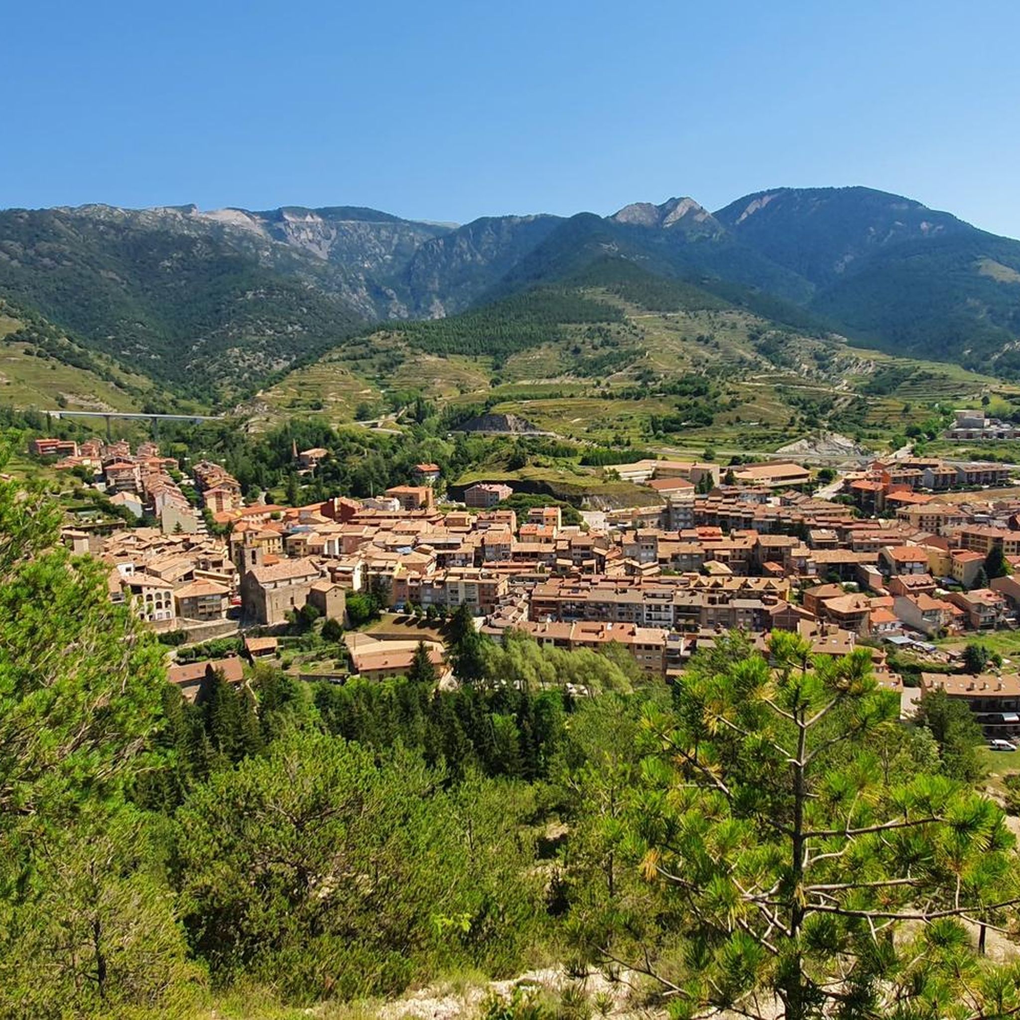
Jogging routes around Sant Julià De Cerdanyola traverse a diverse natural environment within the Berguedà region of Catalonia. The area is characterized by mountainous terrain, featuring dense pine, beech, and oak forests, and significant elevations up to 1650m. Runners can expect a variety of surfaces, from paved sections to technical routes with rock sections and steep inclines. This landscape provides challenging climbs and rewarding views of the Moixeró massif and Pedraforca.
Best jogging routes around Sant Julià De Cerdanyola
- The…
Last updated: July 1, 2026
33
runners
4.70km
00:38
180m
180m
Hard run. Good fitness required. Sure-footedness, sturdy shoes and alpine experience required.
30
runners
Hard run. Very good fitness required. Sure-footedness, sturdy shoes and alpine experience required.

Sign up for free
26
runners
25.2km
03:51
1,300m
1,300m
Hard run. Very good fitness required. Sure-footedness, sturdy shoes and alpine experience required.
18
runners
15.9km
02:38
880m
890m
Hard run. Very good fitness required. Sure-footedness, sturdy shoes and alpine experience required.
13
runners
Hard run. Very good fitness required. Sure-footedness, sturdy shoes and alpine experience required.
Get access to more routes and recommendations from other explorers.
Sign up for free
Already have an account?
Our route recommendations are based on thousands of hikes, rides, and runs completed by other people on komoot.
Start today with a free account
Your next adventure awaits.
Login or Signup

Tips from the Community

The Collada Sobirana is a classic of the Berguedà, whether from Guardiola de Berguedà or from the Pobla de Lillet, it is a pleasant and tough port at the same time. The first is longer and harder, with more exposure to wind and sun. The second is shorter and draws its curves in a very leafy forest that can protect you on very hot days.
0
0
The Collada de Falgars is the opposite of the Collada de Subirana, going up from the Pobla de Lillet. It is a local road with good pans and often cattle on the tarmac. At the top of the Coll there is a Sanctuary, good views and also a bar where you can get refreshments.
0
0

The Collada de Falgars from La Pobla de Lillet shares a route for the most part with the Collada Sobirana. The climb branches into 2 in its final part. If we take the road that goes to the left, we will reach the Collada de Falgars, where there is a church to visit and a very nice bar where you can take a break. The other side of the Collada de Falgars is not cycleable with a road bike, although it can be cycled with a gravel bike.
0
0
It is a port that has 2 completely different sides, in both cases with a narrow road, good asphalt and little traffic, although the La Pobla de Lillet side is the least busy of the two. The La Pobla de Lillet slope is completely covered by a thick forest, which makes it ideal for hot summer days. It is a very constant climb until the last final ramp. The Guardiola de Berguedà slope is harder, with stronger kms and ramps, although also with more breaks. It is clearly exposed to the sun and the wind in almost its entirety.
0
0

The Catllaràs chalet is a curious modernist building built by Gaudí and located in the mountain range of the same name. It is surprising for its peculiar shape and architectural details that correspond to the naturalistic stage of the famous Catalan architect.
1
0

This pass has its hardest slope from Guardiola de Berguerdà, with a length of almost eight kilometers and a second half in which there are many ramps above 10%, reaching in some cases 15%. From La Pobla de Lillet the ascent is shorter, six kilometers long, and with the last four kilometers quite hard, with a percentage close to 7.5% and with some ramps of up to 14%.
1
0

In the middle of the forests of the Serra del Catllaràs we find the Villa designed by Antoni Gaudí in 1902. It housed the technicians and engineers of the Catllaràs coal mines, exploited at the beginning of the 20th century by the Portland cement company Asland. In 1932 the company transferred it to the City Council. In the 1940s the condition of the building was already quite bad and in 1971 it was renovated as a dormitory, replacing its most characteristic element, the spiral staircase, with a metal one. At the end of the 80s, due to changes in regulations, it fell into disuse and in a state of considerable degradation. It is currently in the process of restoration.
1
1

Interesting crossroads. Good views towards the Puigmal and Puigllançada
0
0
Frequently Asked Questions
How many running routes are available in Sant Julià de Cerdanyola?
Sant Julià de Cerdanyola offers a wide selection of running routes, with over 120 trails available for you to explore. These range from shorter loops to demanding long-distance runs.
What kind of terrain can I expect on the jogging routes in Sant Julià de Cerdanyola?
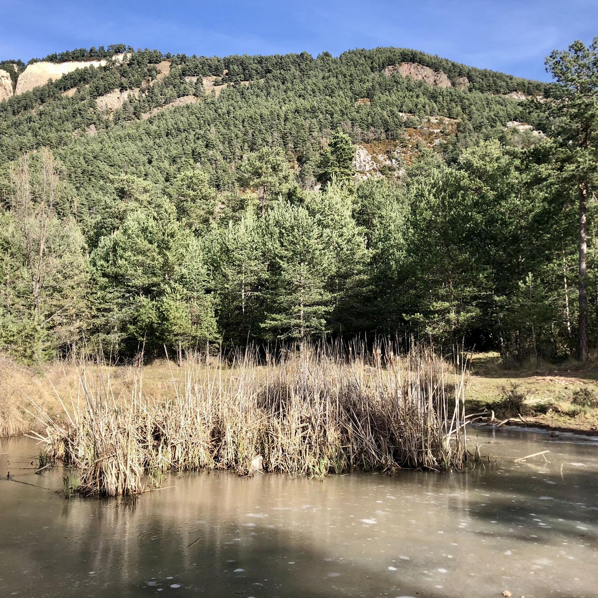
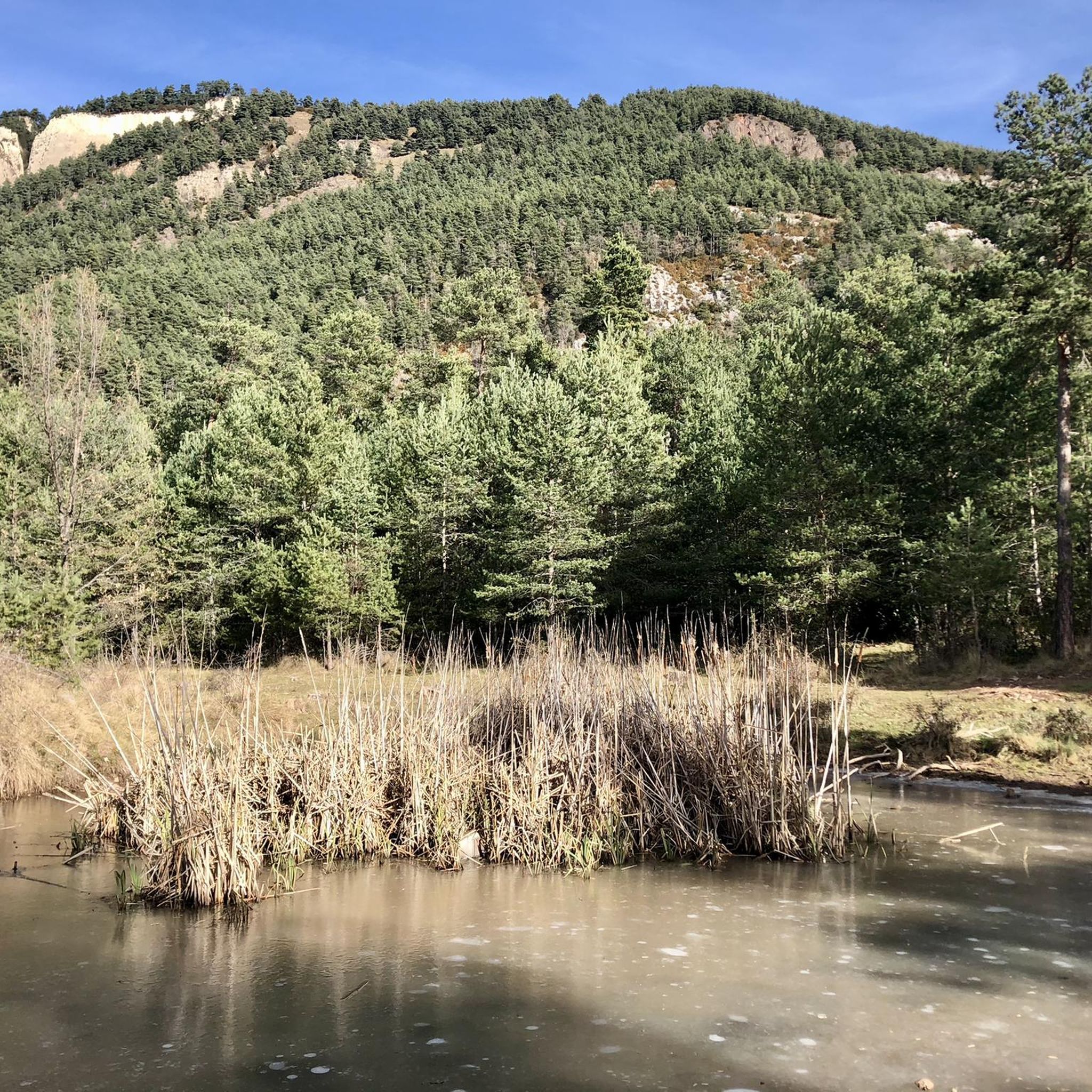
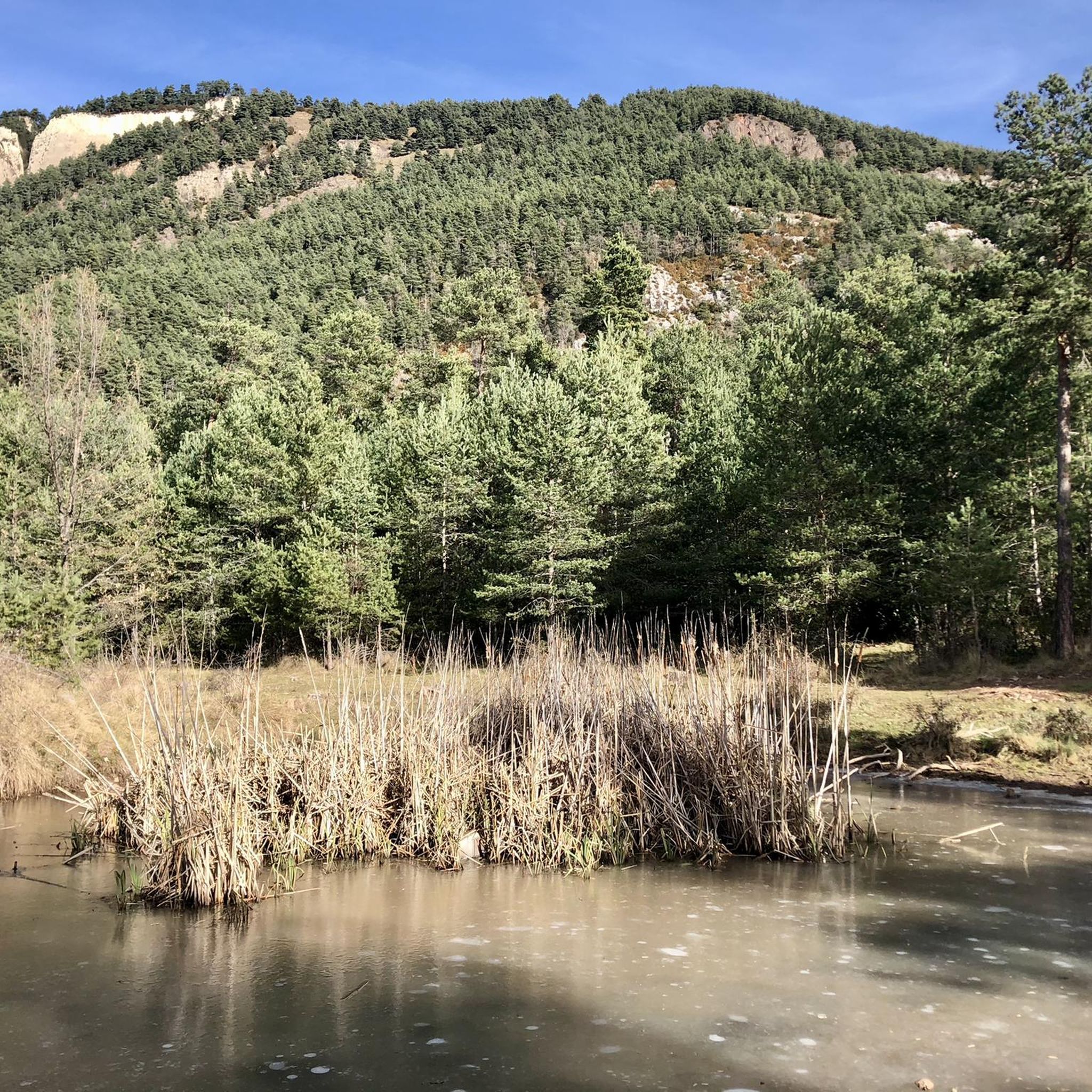
The area features a diverse natural environment, from mostly paved sections suitable for all skill levels to more technical routes involving rock sections, steep inclines, and descents with loose stones. You'll often find yourself running through dense pine, beech, and oak forests within the Serra del Catllaràs.
Are there easy running routes for beginners in Sant Julià de Cerdanyola?
While many routes in the region are challenging, there are a few easier options available. You can find at least 3 routes classified as easy, providing a gentler introduction to running in this mountainous area.
Are there challenging running trails for experienced runners in Sant Julià de Cerdanyola?
Absolutely. Sant Julià de Cerdanyola is known for its challenging trails, with over 110 routes classified as difficult. These often feature significant elevation changes, such as those found on the Collada Sobirana, and can reach altitudes of up to 1650m, offering demanding climbs and rewarding views.
Can I find scenic views on the running trails around Sant Julià de Cerdanyola?
Yes, the running trails offer impressive panoramic views. You can enjoy expansive vistas of iconic natural landmarks such as the Moixeró massif, the majestic Pedraforca, and the dramatic cliffs of Vallcebre. Higher points like the Pla de la Clusa (1,657m) provide stunning mountain scenery.
Are there any waterfalls along the running routes in the area?
Yes, the region boasts several beautiful waterfalls that can be incorporated into your running adventures. Notable spots include the Bullidor de la Llet Waterfall and the Salt del Bastareny, as well as the scenic Els Empedrats Waterfall and Gorge.
What natural landmarks can I see while jogging near Sant Julià de Cerdanyola?
Beyond the stunning mountain views, you can encounter several natural landmarks. These include various mountain passes like Collada de Sobirana and Coll de Pal Mountain Pass, and the Source of the Llobregat River.
Are the running routes in Sant Julià de Cerdanyola dog-friendly?
Many of the natural trails and forest paths in Sant Julià de Cerdanyola are suitable for running with dogs. However, it's always recommended to keep your dog on a leash, especially in areas with livestock or protected wildlife, and to check local regulations for specific routes.
Are there family-friendly jogging options in Sant Julià de Cerdanyola?
While many routes involve significant elevation, some of the shorter loops and less technical trails can be enjoyed by families. Look for routes with mostly paved surfaces or those with lower elevation gains for a more family-friendly experience.
What do other runners say about the trails in Sant Julià de Cerdanyola?
The running routes in Sant Julià de Cerdanyola are highly rated by the komoot community, with an average score of 4.5 stars from over 10 reviews. Runners often praise the diverse terrain, the challenging climbs, and the rewarding panoramic views of the surrounding mountains.
Are there many circular running routes available?
Yes, the area is well-suited for circular running routes. Many trails, such as the popular "Olla de Sant Julià de Cerdanyola" loop (PR-C 129) and routes like Running loop from Sant Julià de Cerdanyola, start and end in the village, making them convenient for exploration.
What are the options for parking near the running trails?
Many running routes, especially those starting directly from Sant Julià de Cerdanyola or nearby villages like Guardiola de Berguedà, offer convenient parking options. It's advisable to check the starting point of your chosen route for specific parking information.
What are the winter conditions like for jogging in Sant Julià de Cerdanyola?
Due to the mountainous terrain and elevations up to 1650m, winter conditions can vary significantly. Higher altitude trails may be covered in snow or ice, making them more challenging or impassable. Lower elevation routes might still be runnable, but always check local weather forecasts and trail conditions before heading out in winter.
Most popular routes around Sant Julià De Cerdanyola
Most popular attractions around Sant Julià De Cerdanyola

Get inspired with the komoot mobile app


Explore more
Browse the best Running Trails & Routes in other regions.
