The best walks and hikes around Las Inviernas
4.8
(12)
76
hikers
3
hikes
Hiking around Las Inviernas offers access to varied landscapes, including river valleys, rocky formations, and woodlands. The region is characterized by its natural features, providing diverse settings for outdoor activities. Trails often traverse areas with moderate elevation changes, suitable for different hiking preferences. The terrain supports both shorter excursions and longer, more challenging routes.
Best hiking trails around Las Inviernas
- The most popular hiking route is Peñascos de los Frailes — circular desde Las Inviernas, a 7.3 miles (11.8…
Last updated: July 2, 2026
4.5
(2)
6
hikers
11.8km
03:18
220m
220m
Moderate hike. Good fitness required. Easily-accessible paths. Suitable for all skill levels.
4.0
(2)
9
hikers
10.3km
02:55
220m
230m
Moderate hike. Good fitness required. Easily-accessible paths. Suitable for all skill levels.

Sign up for free
5.0
(4)
29
hikers
15.3km
04:03
160m
160m
Moderate hike. Good fitness required. Easily-accessible paths. Suitable for all skill levels.
14
hikers
24.5km
06:31
250m
250m
Hard hike. Very good fitness required. Mostly accessible paths. Sure-footedness required.
5.0
(1)
5
hikers
17.9km
04:58
250m
250m
Moderate hike. Good fitness required. Mostly accessible paths. Sure-footedness required.
Our route recommendations are based on thousands of hikes, rides, and runs completed by other people on komoot.
Start today with a free account
Your next adventure awaits.
Login or Signup

Tips from the Community

Despite its steep and difficult access, Gollorio Waterfall is a popular spot for hikers. The trail leading to it offers spectacular views and is part of the Gollorio Waterfall Route. In long sections, the trail runs close to the ravine without any lateral protection, so caution is advised.
2
0

This town with steep slopes crowned by a castle is the gateway to the Dulce River ravine.
0
0
Despite its steep and difficult access, the Gollorio Waterfall is a popular spot for hiking enthusiasts. The trail leading up to it offers spectacular views and is part of the Gollorio Waterfall Route. During long stretches, the trail runs close to the ravine without lateral protection, so caution is advised.
1
0

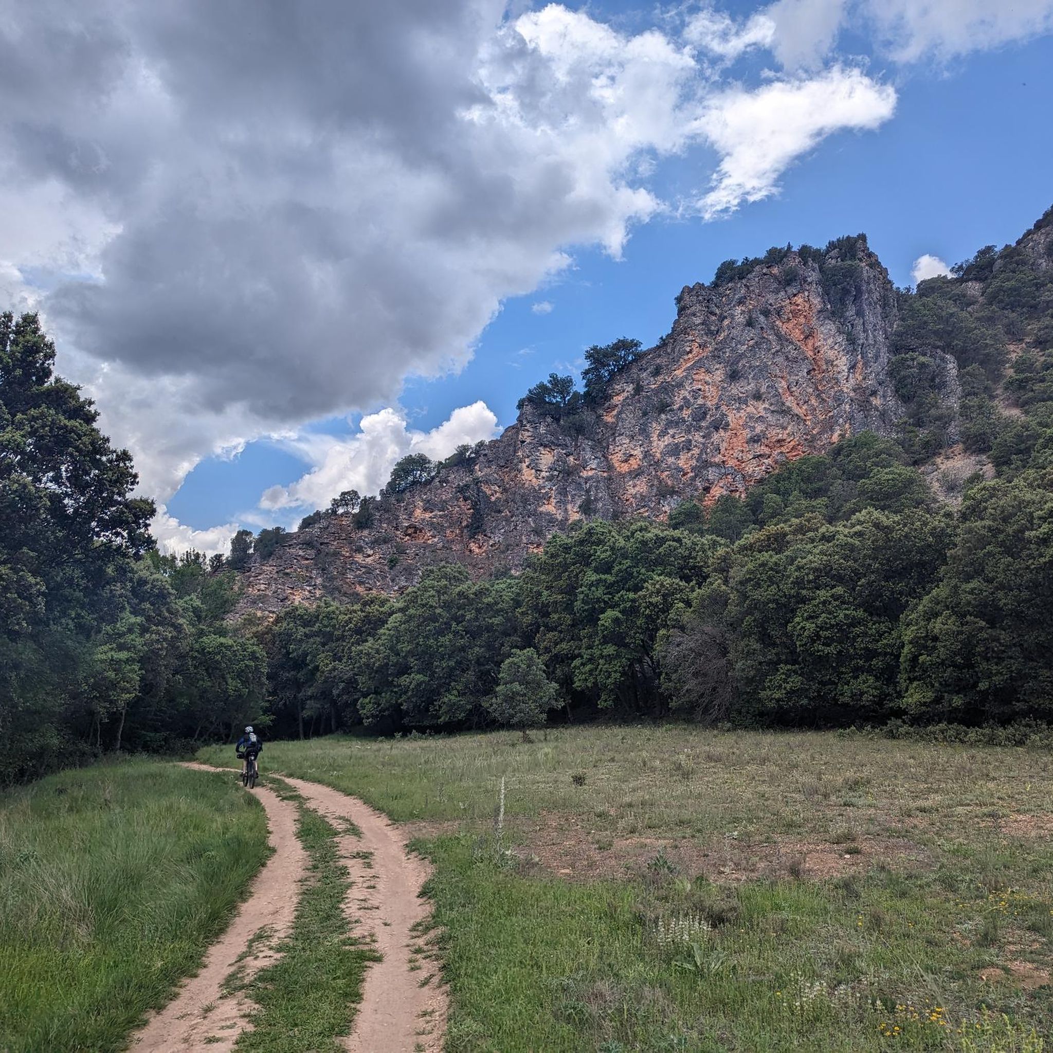
The nature do not stop surprising! It is a formation of Tolmos, (Vertical Rocks), ordered and organized like a procession of Friars who are going to perform their prayers. The ideal is to see them from the bed of the Reato River, both from the bottom and the top of the meander it forms. You can also get close to them and admire their great size.
1
0

On the curve of the Dulce river are the ruins of the castle of Pelegrina. Incredible viewpoint of the town and what makes the Barranco del Río Dulce Natural Park a unique landscape to visit.
1
0

This location was used as a camp for the team of the naturalist and creator of the "Man and the Earth" program.
0
0
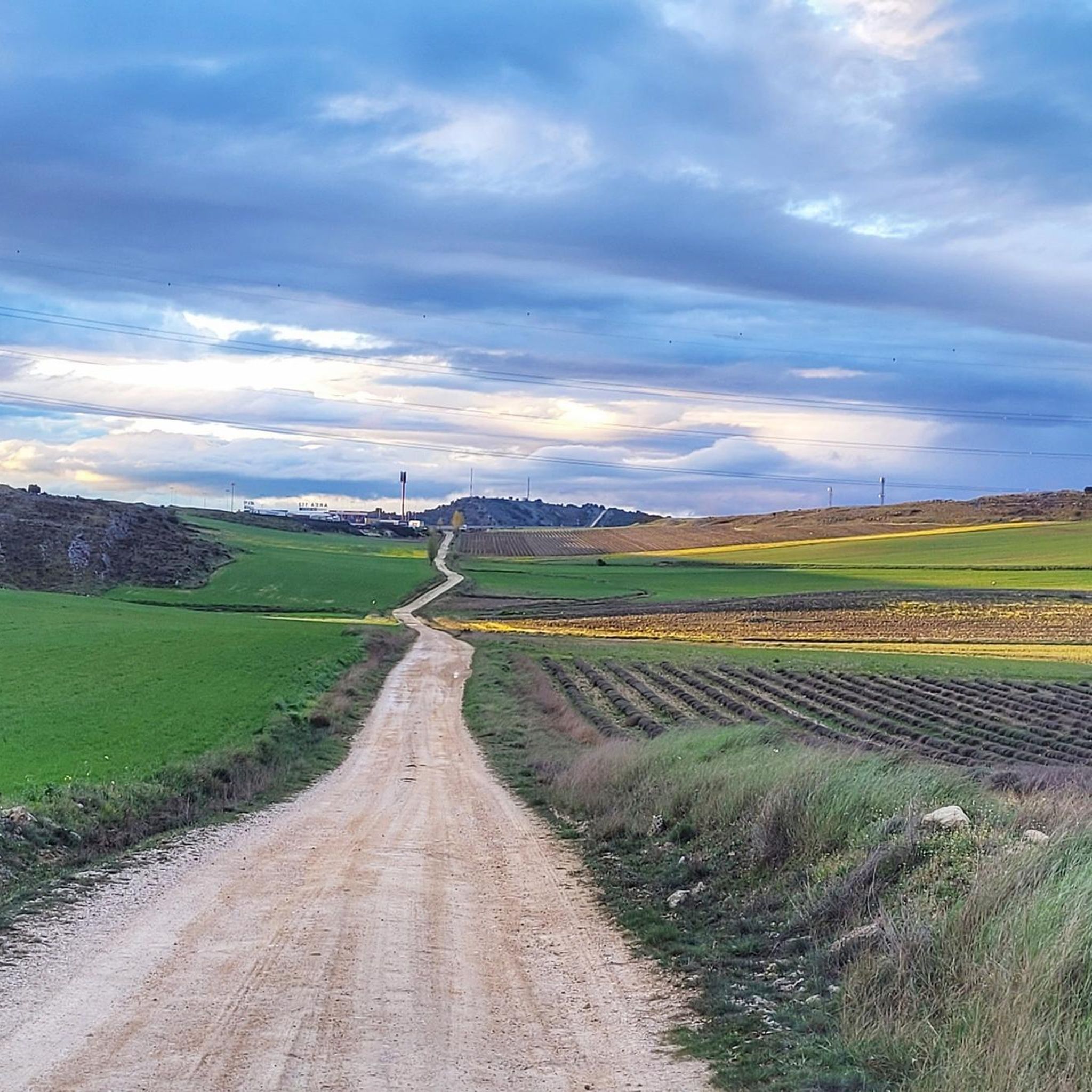
Beautiful views of the Camino de Santiago de la Lana
0
0
Spanish fortification built in ashlar stone between the 12th and 13th centuries in the town of Pelegrina. It is a rocky castle built on a hill that dominates the valley of the Río Dulce.
2
0
Frequently Asked Questions
What kind of terrain can I expect on hikes around Las Inviernas?
The hiking trails around Las Inviernas feature a diverse landscape, including river valleys, rocky formations, and woodlands. You'll encounter moderate elevation changes, making the area suitable for various hiking preferences, from shorter excursions to more challenging routes.
Are there any circular hiking routes in the Las Inviernas area?
Yes, there are several circular routes available. A popular option is the Peñascos de los Frailes — circular desde Las Inviernas, which is 11.8 km long and takes about 3 hours 18 minutes to complete. Another notable loop is the Pelegrina Castle – Barranco del Río Dulce loop from Aragosa, a longer 24.5 km trail.
Are there any trails that feature waterfalls near Las Inviernas?
Yes, you can find trails that lead to waterfalls. The Gollorio Waterfall – Pelegrina Castle loop from Torremocha del Campo is a moderate 17.9 km route that includes a waterfall. Another option is the Cívica Waterfall – Cívica loop from Yela, which is 13.8 km long and also features a waterfall.
What are some longer, more challenging hikes in the region?
For a more challenging experience, consider the Pelegrina Castle – Barranco del Río Dulce loop from Aragosa. This difficult 24.5 km trail takes approximately 6 hours 31 minutes and leads through a river gorge and past historical sites.
What do other hikers say about the trails around Las Inviernas?
The trails in Las Inviernas are highly regarded by the komoot community, with an average rating of 4.5 stars from over 6 reviews. Hikers often praise the varied terrain, which includes river valleys, rocky formations, and woodlands, offering diverse settings for outdoor activities.
Are there any villages or points of interest I can visit along the hiking routes?
Yes, some routes connect to or pass by charming villages and points of interest. For example, the PR-GU 08: Mandayona - Mirabueno - Aragosa Trail connects several villages. You can also explore attractions like Mandayona Village or the unique Cívica Rock Dwellings and Waterfall.
What is the typical duration for hikes in Las Inviernas?
Hiking durations vary depending on the route's length and difficulty. For instance, the moderate Peñascos de los Frailes — circular desde Las Inviernas takes about 3 hours 18 minutes, while the longer Pelegrina Castle – Barranco del Río Dulce loop from Aragosa can take around 6 hours 31 minutes.
Are there any moderate trails suitable for a day hike?
Absolutely. Many trails are moderate and ideal for a day hike. The PR-GU 08: Mandayona - Mirabueno - Aragosa Trail is a moderate 10.3 km path, offering a mix of open terrain and forested sections, typically completed in under 3 hours.
What is the best time of year to go hiking in Las Inviernas?
The region's varied landscapes, including river valleys and woodlands, make it suitable for hiking across multiple seasons. Spring and autumn generally offer pleasant temperatures and vibrant scenery. However, trails with moderate elevation changes can be enjoyed throughout much of the year, weather permitting.
How many hikers have explored the Las Inviernas area using komoot?
More than 30 hikers have already used komoot to explore the diverse terrain around Las Inviernas, indicating a growing community enjoying the region's outdoor offerings.
Are there any historical sites or landmarks to discover while hiking?
Yes, the area is rich in history and natural beauty. The Pelegrina Castle – Barranco del Río Dulce loop from Aragosa passes by historical sites. You can also find the unique Cívica Rock Dwellings, which are a fascinating point of interest.
Most popular attractions around Las Inviernas

Get inspired with the komoot mobile app


Explore more
Browse the best Hikes in other regions.
