The best MTB trails around Oristà
4.3
(71)
1,583
riders
128
rides
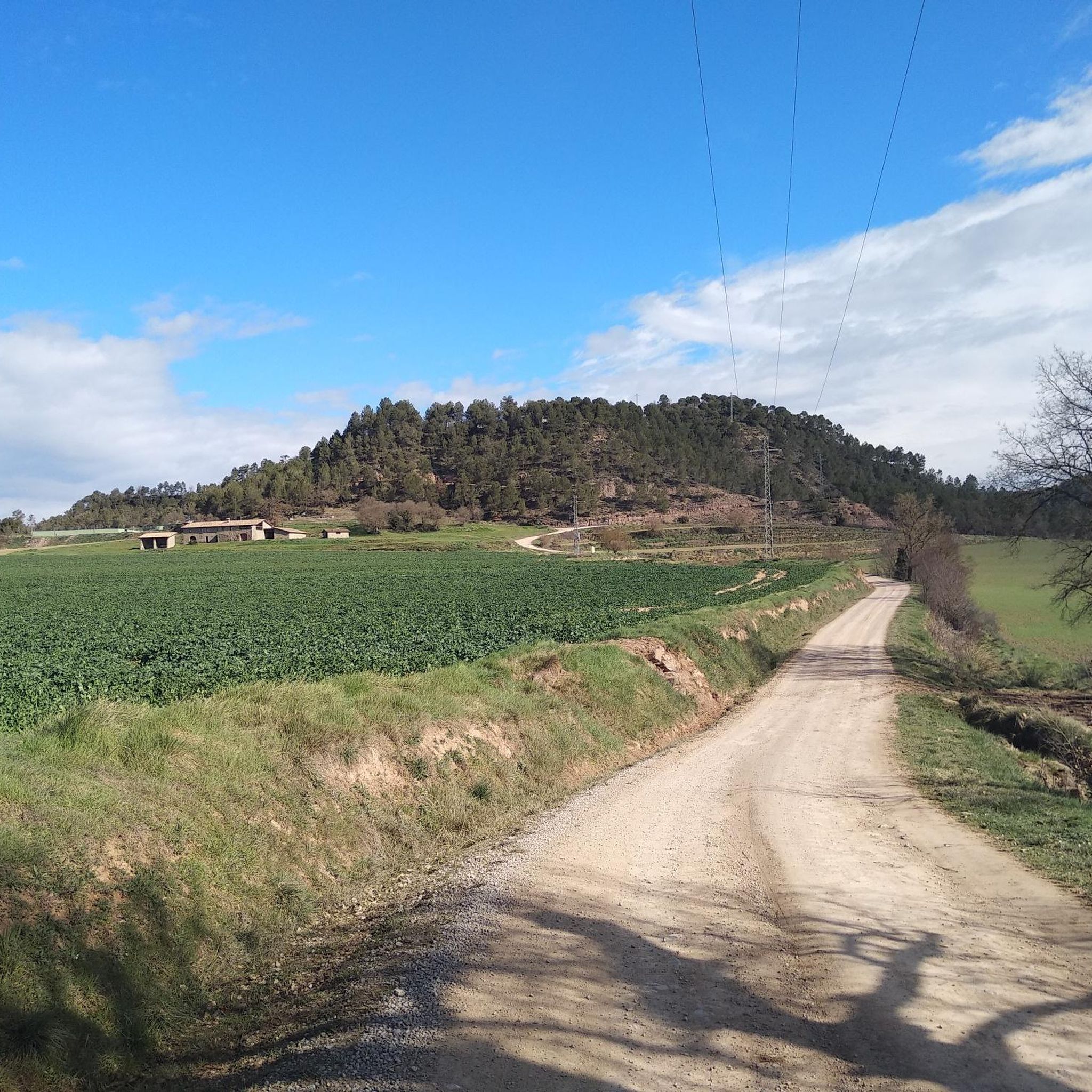
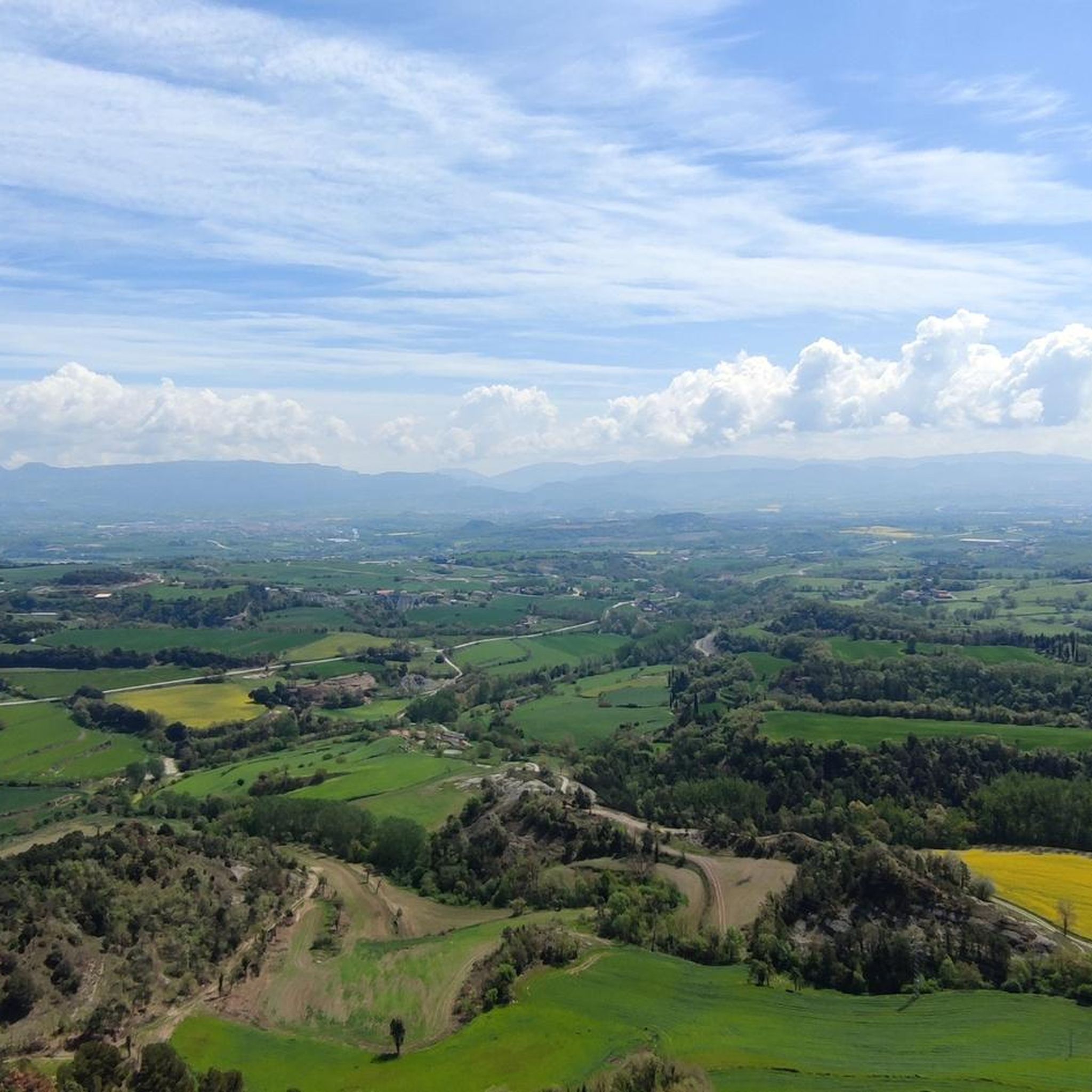
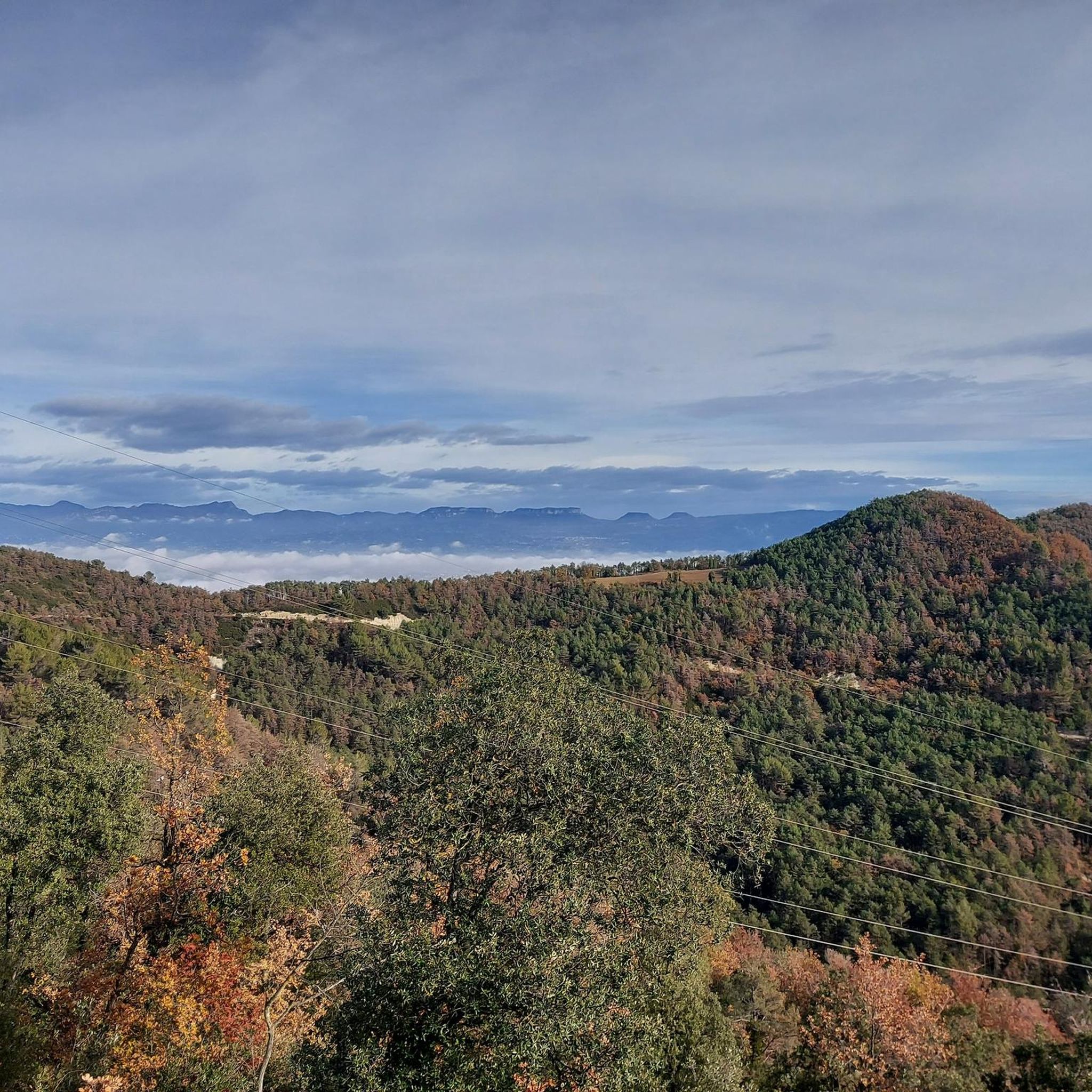
Mountain biking around Oristà offers a diverse landscape characterized by extensive wooded areas, agricultural lands, and gentle hills, with an average altitude of approximately 700 meters. The Riera Gavarresa river traverses the area, providing varied routes for exploration. Riders can find a mix of well-maintained trails and rural roads, suitable for different skill levels. Higher vantage points offer expansive views of iconic Catalan mountain ranges.
Best mountain bike trails around Oristà
- The most popular mountain bike trail is Riera de…
Last updated: October 27, 2026
5.0
(1)
17
riders
31.6km
02:37
690m
690m
Moderate mountain bike ride. Good fitness required.
4.3
(6)
6
riders
13.5km
01:11
180m
180m
Easy mountain bike ride.

9
riders
24.1km
01:36
360m
360m
Moderate mountain bike ride. Good fitness required.
3.0
(1)
7
riders
25.9km
02:23
460m
460m
Moderate mountain bike ride. Good fitness required.
4.0
(1)
4
riders
28.5km
02:29
550m
540m
Moderate mountain bike ride. Good fitness required.
Get access to more routes and recommendations from other explorers.
Already have an account?
Our route recommendations are based on thousands of hikes, rides, and runs completed by other people on komoot.
Start today with a free account
Your next adventure awaits.
Tips from the Community

The Vilar de Sant Boi is a monument in the municipality of Sant Boi de Lluçanès (Osona) included in the Inventory of Catalan Architectural Heritage. https://ca.wikipedia.org/wiki/Vilar_de_Sant_Boi
0
0

Olost is a municipality in the province of Barcelona, in the county of Osona, in the sub-county of Lluçanés. It also includes the town of Santa Creu de Jutglar. The parish of Santa María de Olost has been documented since 908 and that of Santa Creu de Jotglar since 984. From 1966 to 1991 Mosén Ramon Vila i Pujol was rector of the church of Santa María de Olost.
14
0

Town in the region of Osona. It is recommended to visit the Iglesia de San Baudilio (baroque) or the Chapel of San Miguel de Vilaseca or Gallifa (Romanesque).
0
0

This doesn't look much like a castle even though that's what it's called. It looks more like a country house and is probably used that way today. It's a wonderful area and this is an interesting building.
2
0
Olost is a beautiful town that can be recognized from afar by the two bell towers of the Santa Maria church. Olost is a beautiful town, located in a small valley cut by the stream of Olost, with small shops that can be recognized from afar by the two bell towers of the church of Santa Maria. According to the legend, a couple promised a new bell tower if the virgin gave them a child; and they had a twin! It is a large nucleus, in relation to those surrounding it in the Lluçanès area, which already extended from the Sant Adjutori mountain range to the Olost stream already in modern times (17th and 18th centuries). The nerve center of Olost is Plaça Major, where the parish church and the town house are located. From this point the core is structured, both old and now. Among the streets built over the course of the 17th and 18th centuries, to the west of Plaça Major, you can count Carrer Berga, one of the longest in the town, Carrer Gelada, Carrer Nou and Carrer de Sant Adjutori, located in the ridge It also has the Raval del d'Olost, with preserved houses in Raval del Mig and Raval de Baix streets. In these older streets you can see houses framed with stone masonry walls that retain dated lintels indicating construction dates of the 17th and 18th centuries. We recommend going up to the viewpoint of Sant Adjutori, where there is the hermitage and hill from where you can observe beautiful panoramic views of the town and the mountains on the horizon that enclose the Lluçanès plateau: from the agricultural and forest landscape from Lluçanès to Montserrat, passing through the eastern Pyrenees in the north. https://turisme.llucanes.cat/municipi/olost/ https://turisme.llucanes.cat/visiteu/esglesia-santa-maria-olost/
4
0
The castle of Olost is located in a hollow – therefore in a not very strategic situation – next to the stream of Olost and to the south of the town of Olost and very close to its main nucleus, although it belongs to the municipality of Oristà. The castle arose in the 11th century after the disappearance of the castle of Oristà. It started as just a watchtower with a rectangular plan. Later on, it became a castle, although it was never a defense fortress but rather a stately residence bringing together feudal possessions. Of the old building, the tower and the Gothic chapel are currently preserved. https://ca.wikipedia.org/wiki/Castell_d%27Olost
2
0
Sant Boi de Lluçanès is a town and municipality in the Lluçanès region, although it is administratively attached to that of Osona. It is located at the north-east end of the Luçanenca, and to the north-west of the Osonenca. history The term and the parish of Sant Boi are already mentioned in the year 905 in the act of consecration of Santa Maria de Lluçà and it belonged to the lords of Lluçà. The term, however, will be dismembered very soon. Specifically, in 962, Countess Riquilda bequeathed it to the see of Vic. A legacy that did not take effect until 933 when the bishop of Vic made an agreement with the noble Sendret de Gurb and by an exchange, the Bishops of Vic became the lords of the area that included a large part of the area of Perafita. The term was divided into large properties or rural villas, formed by smaller farms around them. Among the most renowned and which still exist as manor houses we can name the Vilar, Vilarrasa, Viladecans, ... The bishops of Vic ruled the area through a bishop who used to be the heir of Vilarrassa, whose genealogy is known from the year 1134, when Benet de Vilarrasa was already bishop. The current population of Sant Boi began to form in the middle of the 16th century, although previously there was already a small nucleus of houses grouped around the church, but they practically disappeared in the 14th century due to the depopulation caused by the Black Plague In 1553 the nucleus had 10 houses, in 1626 the parish census had 86 houses with a total of 518 inhabitants. In 1782 there were 180 houses and 800 inhabitants, reaching a maximum of 1043 people in 1860. Currently the population census is 532 people. https://ca.wikipedia.org/wiki/Sant_Boi_de_Llu%C3%A7an%C3%A8s Website: https://www.santboidellucanes.cat/
1
0
La Riera de Sorreigs is a watercourse in the province of Barcelona; belongs to the judicial parties of Berga and Vic. It is born in the municipality of Sant Boi de Lluçanès, in the sub-region of Lluçanès and forms two waterfalls, one of which gives its name to the Gorg Negre; advances through the valley of the municipality of Santa Cecília de Voltregà, The beginning of the valley, in its western sector is nestled between the peaks of La Tuta and Santa Perpètua (795 m) and the Sierra de Sant Martí Xic or Voltregà castle (854 m); as the river moves east, its valley widens, until it meets the road from Barcelona to Puigcerdà, then continues east and flows right into the river Ter, around Manlleu. [1 ] A large part of the valley of the stream is protected as an area of natural interest and is part of the Natura 2000 network. [2] https://ca.wikipedia.org/wiki/Riera_de_Sorreigs https://fontsaigua.wordpress.com/2016/05/11/el-panta-de-la-riera-de-sorreigs-a-sant-bartomeu-del-grau/
0
0
Frequently Asked Questions
How many mountain bike trails are available around Oristà?
Oristà offers a comprehensive network of over 100 mountain bike trails. These routes cater to various skill levels, with 18 easy, 59 moderate, and 24 difficult options to explore the diverse landscape.
Are there mountain bike trails suitable for beginners or families in Oristà?
Yes, Oristà has 18 easy mountain bike trails, making it suitable for beginners and families. An excellent option is the Castell d'Olost loop from Olost, an 8.38 miles (13.5 km) path that offers a gentle ride through the local countryside, passing historical landmarks.
What kind of terrain can I expect on mountain bike trails in Oristà?
Mountain biking around Oristà features a diverse landscape characterized by extensive wooded areas, agricultural lands, and gentle hills. Routes often follow river valleys, such as the Riera Gavarresa, and can include varied terrain like stony paths and narrow trails, providing a fulfilling cycling experience.
Are there any loop mountain bike trails in Oristà?
Yes, many mountain bike trails in Oristà are designed as loops. For example, the popular Riera de Sorreigs Reservoir loop from Olost is a moderate 19.65 miles (31.6 km) trail that explores the scenic Riera Gavarresa river valley. Another option is the Mountainbike loop from Olost, an 18.19 miles (29.3 km) trail leading through varied terrain.
What do other mountain bikers say about the trails in Oristà?
The mountain bike routes in Oristà are highly rated by the komoot community, with an average score of 4.2 stars from more than 40 reviews. Over 1200 mountain bikers have used komoot to explore Oristà's varied terrain, often praising the diverse landscapes and well-maintained trails.
Are there any viewpoints along the mountain bike trails in Oristà?
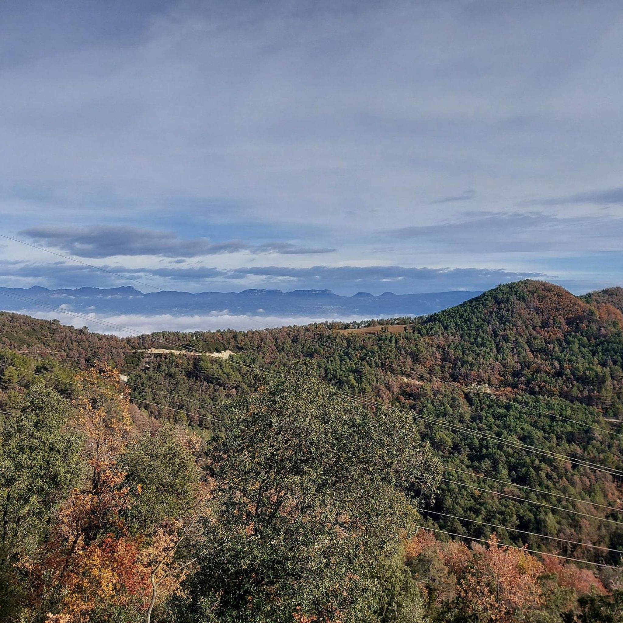
Yes, Oristà offers several opportunities for panoramic views. From higher vantage points, you can enjoy expansive vistas of iconic Catalan mountain ranges like Cadi, Montserrat, Montseny, and Pedraforca. The Mirador de Sant Sebastià, near the hermitage, provides a particularly beautiful panorama of the village and its surroundings. You can also find the View of the Gorg Negre (Santa Cecília de Voltregà) as a highlight.
What historical or natural landmarks can I see while mountain biking in Oristà?
Oristà is rich in historical and natural landmarks. You might encounter natural monuments like The Lady's Oak or the Ancient Olive Tree at Casanova de Viladecans. Historical sites include the Pre-Romanesque Crypt of Sant Andreu d'Oristà and Romanesque hermitages such as Ermita de Sant Nazari de la Garriga. The Riera de Sorreigs Reservoir is also a notable feature.
Are there any challenging mountain bike routes for advanced riders?
Yes, Oristà offers 24 difficult mountain bike trails for advanced riders seeking a challenge. A notable difficult route is the Riera de Sorreigs Reservoir – The Lady's Oak loop from Olost, which spans 44.5 km and involves significant elevation changes.
Is there a dedicated mountain biking center in the Oristà region?
Yes, the wider Lluçanès region, where Oristà is located, is home to the Centre BTT Lluçanès. This center supports mountain biking activities and includes marked routes, such as route 6, "Aiguabarreig," which passes through Oristà, indicating a well-developed infrastructure for the sport.
What is the best time of year for mountain biking in Oristà?
Oristà's climate generally allows for mountain biking throughout much of the year. However, spring and autumn often provide the most comfortable temperatures and vibrant scenery. Summer can be warm, but the wooded sections of trails offer shade. Always check local weather conditions before heading out.
Are there any places to rest or have a picnic along the trails?
Yes, the region offers tranquil spots for rest. The Font de la Baga, for instance, is a humid area with a spring and picnic facilities, providing a peaceful break amidst nature. Many routes also pass through charming villages where you might find cafes.
What are some unique natural features to look out for on the trails?
Beyond the general landscape, keep an eye out for the Cingle dels Tres Còdols, a natural rock formation with unique inscriptions and engravings resulting from the erosion of the Riera Gavarresa. This rugged character adds to the scenic routes for mountain bikers.
Most popular attractions around Oristà

Get inspired with the komoot mobile app


Explore more
Browse the best MTB trails in other regions.
