The best running trails around Castilruiz
5.0
(1)
76
runners
6
runs
Jogging routes around Castilruiz offer diverse landscapes within the province of Soria, Castile and León. The region is characterized by its natural environment, including the Sierra del Moncayo mountain range, forests, and rivers. Castilruiz is part of the Natura 2000 network, specifically the Cigudosa-San Felices area, which provides preserved natural spaces for outdoor activities. The terrain includes varied elevations, from gentle slopes to challenging ascents, making it suitable for different running preferences.
Best jogging routes around Castilruiz
- The most popular…
Last updated: July 4, 2026
11
runners
4.57km
00:31
30m
30m
Easy run. Great for any fitness level. Mostly paved surfaces. Suitable for all skill levels.
5.0
(1)
9
runners
7.69km
00:50
130m
130m
Moderate run. Good fitness required. Mostly paved surfaces. Suitable for all skill levels.

Sign up for free
9
runners
13.4km
02:31
1,040m
1,050m
Hard run. Very good fitness required. Mostly accessible paths. Some sure footedness required.
8
runners
20.7km
04:20
1,930m
1,930m
Hard run. Very good fitness required. Sure-footedness, sturdy shoes and alpine experience required.
9
runners
9.83km
02:07
990m
990m
Hard run. Very good fitness required. Mostly accessible paths. Some sure footedness required.
Our route recommendations are based on thousands of hikes, rides, and runs completed by other people on komoot.
Start today with a free account
Your next adventure awaits.
Login or Signup

Tips from the Community

The summit of Moncayo, also known as Pico San Miguel, is the highest mountain in the Iberian system, with an altitude of 2315 metres. It is located between the provinces of Zaragoza (Aragon) and Soria (Castile and Leon) in Spain. To reach the summit, many hikers start from the Sanctuary of the Virgin of Moncayo, located at 1621 metres. From there, the route passes through the Cucharón cirque and the San Miguel basin before reaching the summit. The route offers spectacular views and is especially popular in spring and summer.
5
0

Last part of the climb, the hardest.
1
0
Moncayo never disappoints. From Cueva de Agreda the climb is longer and harder, but it is worth the sacrifice. The views from the summit, towards Aragon and towards Castilla, are impressive.
1
0

Ólvega is a municipality in Soria in the community of Castilla y León. Its origin dates back to the beginning of the 5th century, although even older archaeological remains have been found from two nearby Celtiberian forts. It is popularly known as "Niña del Moncayo", for being at the foot of this mountain, and also as "Second Numancia", for the popular revolt of 1474 to avoid rendering vassalage to the Count of Medinaceli.
1
0

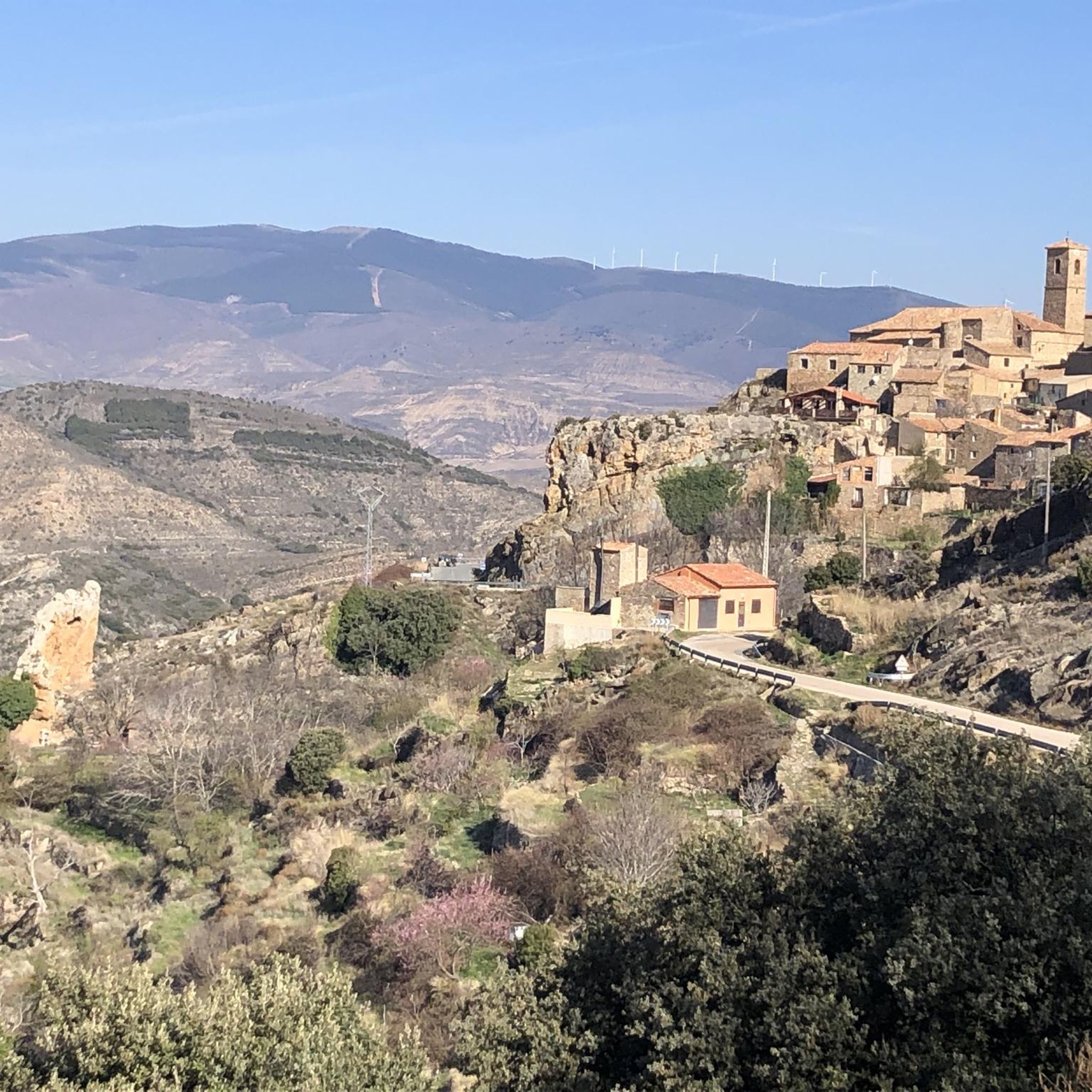
Aldehuela de Ágreda is located in the foothills of Moncayo and enjoys a beautiful foothill landscape. In addition, the farmhouse retains a marked traditional appearance, which gives it a special charm.
0
1

La ruta sale de Ágreda por el trazado del GR-86 Sendero Ibérico Soriano y antes de llegar a Fuentes de Ágreda se desvía hacia Aldehuela. La aldea es encantadora. Las casas están escondidas entre barrancos y arbolado y la única calle del lugar es bastante empinada, hay que estar pendientes del desvío de la ruta por una calleja de hierba, donde está el antiguo lavadero, y continuar por unos caminos de trabajos forestales hasta el nacimiento del río Queiles, en Vozmediano, otra sorpresa fascinante del itinerario. La llegada al pueblo sigue un antiguo sendero de herradura acondicionado para el paso de bicicletas y senderistas que termina en las casas de Vozmediano, debajo del castillo árabe y la magnífica torre del homenaje. Y después es cuando llega la bajada hacia Tarazona por el precioso valle del río Queiles. La parte disfrutona termina en Los Fayos, el primer municipio de Zaragoza, empotrado al pie de unas impresionantes murallas de conglomerados de areniscas rojas plagadas de cuevas y leyendas. Tarazona está cerca y de nuevo podría ser “todo bajada”, en cambio los hitos suben por la colina del cementerio para evitar la carretera principal. También hay flechas del Camino de Santiago. En la entrada de Tarazona está la opción de continuar de frente por el casco histórico o bajar directamente hacia el paseo del río Queiles. Las dos opciones son válidas y descubren las maravillas arquitectónicas de la ciudad, plagada de construcciones históricas, monumentos y piedras centenarias. La torre mudéjar de la iglesia de Santa María Magdalena es un icono del patrimonio artístico junto al edificio del Palacio Episcopal, es difícil pasar por Tarazona y no parar en alguna terraza de la ribera del Queiles para probar sus célebres tortas de masa contemplando el skyline de la ciudad, fusión de culturas revelada en el mensaje universal de la piedra convertida en arte y monumento. La salida de Tarazona por la popular Vía Verde de la Tarazonica es fácil, hay que pasar por la plaza de San Francisco y seguir hasta el Parque de la Estación, con cuidado de las direcciones prohibidas. El track lleva por las calles permitidas para bicicletas. El camino sigue por la vía verde hasta Tudela, un agradable paseo de una hora en bicicleta por una recta que termina en el río Ebro. El 31 de diciembre de 1885 fue una fecha histórica y emocionante para los habitantes de Tarazona, Tudela y las pequeñas poblaciones agrícolas intermedias, como Murchante, Cascante y Novallas, por fin se inauguraba una línea ferroviaria entre la comarca de Tarazona y la Ribera de Navarra, un canal esencial de comunicación y comercio que estuvo activo hasta 1972, cuando fue desmantelada la vía por falta de rentabilidad. El camino natural salva una carretera por un paso elevado y pasa por el monumento del Escachamatas, como se conocía popularmente el ferrocarril por la lentitud y los frecuentes descarrilamientos de los trenes, y termina en la estación ferroviaria de Tudela. El track sigue hasta el puente del río Ebro, con posibilidad de enlazar con el Camino Natural del Ebro GR-99 y continuar una aventura bikepacking interminable. El punto de retorno es el puente medieval del Ebro, que tiene 360 metros y 17 arcos. En la vuelta pasamos por el casco histórico, la catedral, la plaza Vieja, la Puerta del Juicio y otros rincones empedrados desde hace siglos hasta que llegamos a la estación de Renfe, tomamos de nuevo el firme de la Tarazonica y volvemos por el mismo camino hasta las calles de Tarazona. La travesía del Parque Natural del Moncayo es un itinerario para bicicletas gravel de diseño particular para enlazar con el Camino Natural Santander Mediterráneo en Ciria, buscando el mejor recorrido circular de bikepacking de vuelta hasta la ciudad de Soria. El track descargado es imprescindible en este tramo, es imposible concretar en estos textos todos los desvíos, cruces y detalles con la misma precisión que ofrece la información digital. La aventura ciclomontañera comienza en la salida de Tarazona, en el cartel del sendero de gran recorrido GR-90, aunque después coincide en pocos tramos. Es importante cargar con provisiones para el resto de la jornada y la siguiente, no es seguro encontrar víveres en los pueblos del camino. La ruta sigue un camino agrícola hasta Grisel y después llega la primera tachuela de la subida en la sierra donde está el Parque Eólico de Grisel. El repecho duro tiene un kilómetro hasta que salta los molinos pero la pendiente es elevada y el firme de piedra suelta exige un esfuerzo extra. En el collado aparece de cerca la enorme ladera del Moncayo cubierta de pinos, robles y hayas. Y encima las cumbres del macizo como islas inalcanzables sobre un mar de bosques misteriosos e impenetrables. El camino salva otro repecho de piedra suelta y comienza una larga subida por una loma marcada con hitos de rutas ciclistas y senderistas hasta que atraviesa la carretera de Agramonte y conecta con la pista asfaltada del Santuario del Moncayo. La ruta sigue por la carreterita de montaña, atraviesa los hayedos centenarios de la Fuente del Sacristán y en la horquilla de la Fuente de los Frailes se desvía por la izquierda para iniciar el tramo final de la ascensión por la pista forestal del collado Bellido. En el caso de pasar la noche en el Refugio de Majada Baja, donde propongo, al final de la subida, hay que cargar agua en la fuente, después hay arroyos de montaña pero según la estación del año pueden estar secos. En el camino hay varios cruces y desvíos, generalmente siempre es la pista de subida recorriendo toda la vertiente norte del macizo del Moncayo para pasar hacia la cara sur. La subida es larga y constante, sale del bosque y continúa hasta que pasa el desvío del collado Bellido, indicado con hitos en la cuneta de la pista forestal. El final de la ascensión está poco después, en la curva del arroyo de Valdealonso, a unos 1.900 metros de altitud, el camino cambia de pendiente y comienza el descenso. Dos kilómetros después está el Refugio de Majada Baja, es un refugio del parque natural, bien cuidado y disponible para montañeros, ciclistas, cazadores, pastores y usuarios del espacio ambiental del Moncayo. El paraje tiene unas vistas extraordinarias y es difícil pasar al caer la tarde y no quedarse a pasar la noche.
0
0

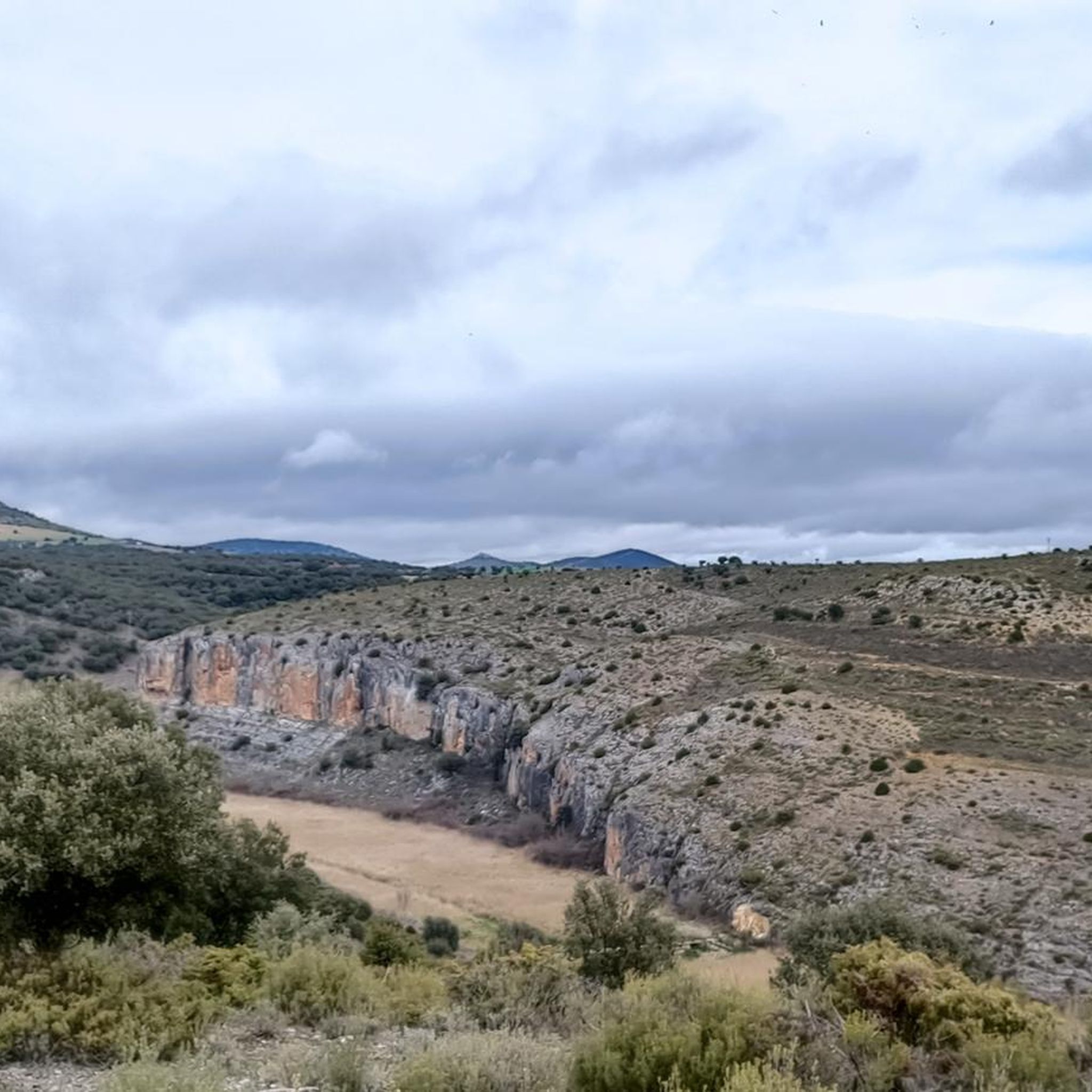
The 2'50km through Aldehuela are strong, not suitable for everyone
1
0

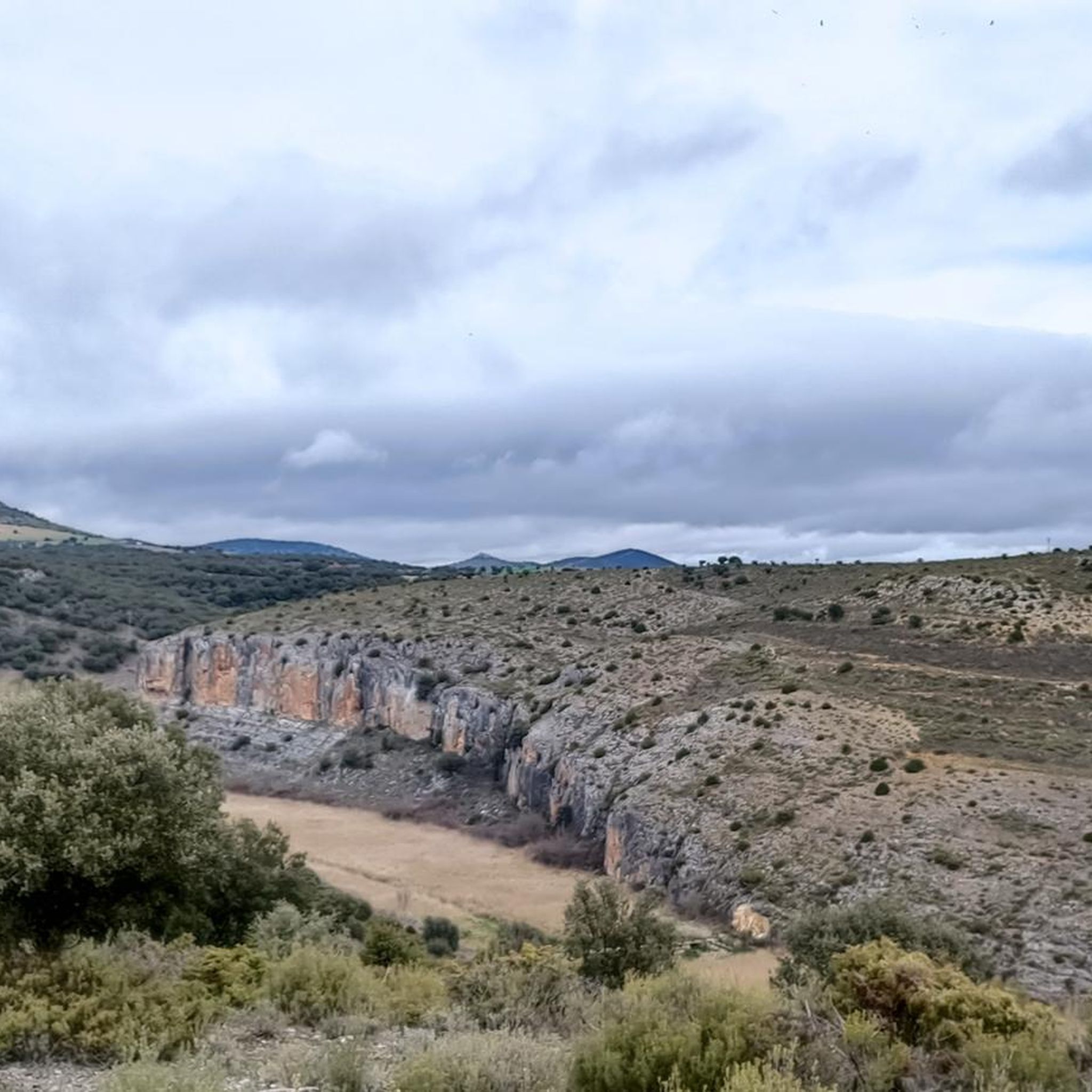
Impressive views that can be seen: the Pyrenees, the Ebro depression...
1
0
Frequently Asked Questions
What kind of terrain can I expect on the running routes around Castilruiz?
The region around Castilruiz offers a diverse landscape for runners. You'll find a mix of mountainous terrain, forests, and river valleys. The Sierra del Moncayo provides challenging ascents, while other areas feature more gentle slopes. The trails and paths are well-suited for exploration on foot, offering varied difficulty levels.
Are there running routes suitable for beginners in Castilruiz?
Yes, while some routes feature significant elevation gain, there are also moderate options available. For instance, the Ólvega loop from Ólvega is a moderate 4.8-mile (7.7 km) trail that takes about 50 minutes to complete, offering a good experience for those new to running in the area.
What are some of the more challenging running trails in the Castilruiz area?
For experienced runners seeking a challenge, routes like the Refugio de los Cejos – Aldehuela de Ágreda loop from Aldehuela de Ágreda offer difficult terrain with significant elevation changes over 8.3 miles (13.4 km). Another demanding option is the Barranco del Colladico – Peña Negrilla Summit loop from Fuentes de Ágreda, which covers over 15 miles (25 km) with substantial climbing.
Are there any circular running routes available?
Yes, many of the running routes around Castilruiz are designed as loops, allowing you to start and finish in the same location. Examples include the Ólvega loop from Ólvega and the Aldehuela de Ágreda – Refugio de los Cejos loop from Aldehuela de Ágreda, which are popular choices among local runners.
What natural features or landmarks can I expect to see while running in Castilruiz?
The region is rich in natural beauty, being part of the Natura 2000 network. You'll encounter diverse flora and fauna within preserved natural spaces. The towering Sierra del Moncayo mountain range provides a stunning backdrop, and routes often traverse forests and follow rivers. You might also spot historical sites like the 15th-century Church of San Nicolás de Bari or the Hermitage of Nuestra Señora de los Ulagares, which are part of the tranquil rural setting.
What do other runners say about the trails in Castilruiz?
The running routes in Castilruiz are highly rated by the komoot community, with an average score of 5.0 stars. Over 40 runners have used komoot to explore the varied terrain, often praising the unbeatable natural environment and breathtaking views offered by the mountainous surroundings.
When is the best time of year to go running in Castilruiz?
The spring and summer months are particularly recommended for visiting Castilruiz. The benevolent climate during these seasons allows for full enjoyment of the natural surroundings, making it ideal for outdoor activities like running.
Are there any nearby attractions or points of interest to explore after a run?
Absolutely! Beyond the trails, you can explore historical sites such as the Castle of la Nava del Marqués de Magaña or the Celtiberian Archaeological Site of Contrebia Leucade. The Church of San Miguel Arcángel of Ágreda is also a notable religious building in the vicinity.
Is Castilruiz suitable for family running or walking with children?
While specific family-oriented running routes are not detailed, the presence of varied trails and paths, from gentle slopes to more challenging ascents, suggests that families can find suitable sections for walking or easier jogs. The tranquil rural setting and natural environment make it a pleasant place for outdoor activities with children.
Are dogs allowed on the running trails around Castilruiz?
The region's extensive network of trails and paths within a natural environment generally welcomes dogs, especially in rural areas. However, it's always advisable to keep your dog on a leash, particularly in protected areas like the Natura 2000 network, to protect local wildlife and ensure a pleasant experience for all users.
How many running routes are documented around Castilruiz?
There are several running routes documented around Castilruiz, offering a range of distances and difficulties. The komoot community has explored and rated these trails, providing options for various preferences.
What is the longest running route available in the area?
One of the longest and most challenging running routes is the Moncayo Summit – Cerro de San Juan loop from Aldehuela de Ágreda. This route spans over 16 miles (26 km) and features significant elevation gain, making it a demanding option for long-distance runners.
Most popular attractions around Castilruiz

Get inspired with the komoot mobile app


Explore more
Browse the best Running Trails & Routes in other regions.
