The best cycling routes around Riserva naturale Abetone
4.5
(47)
1,016
riders
41
rides
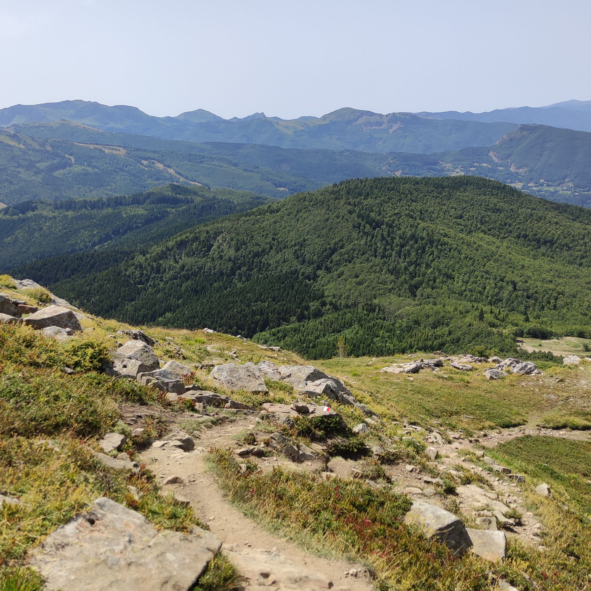
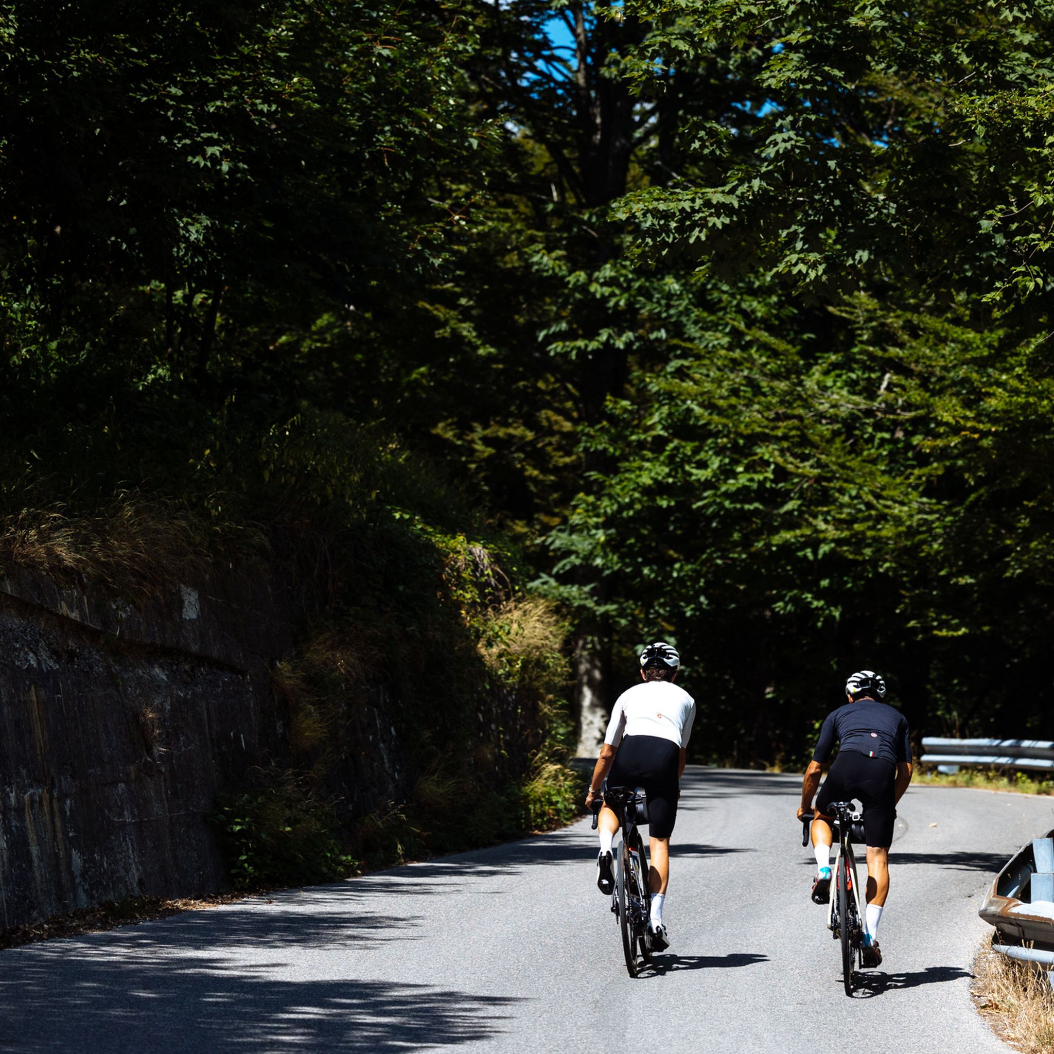
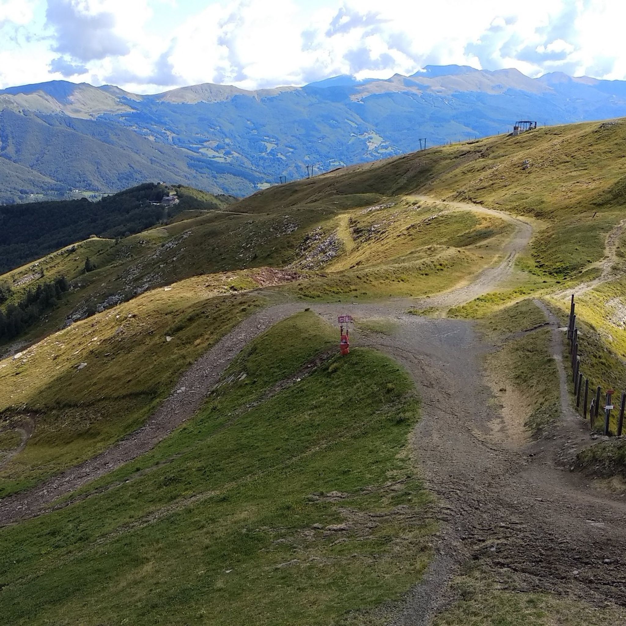
Touring cycling around Riserva naturale Abetone features a mountainous Apennine landscape, characterized by challenging climbs and scenic descents. The region is covered by dense coniferous and beech forests, mixed woodlands, and ridge grasslands. River basins, including the Lima and Sestaione torrents, contribute to the varied topography. This environment provides diverse routes for touring cyclists.
Best touring cycling routes around Riserva naturale Abetone
- The most popular touring cycling route is Pyramids of Passo dell'Abetone – Oratory of San Rocco loop from…
Last updated: October 30, 2026
11
riders
Hard bike ride. Very good fitness required. Mostly paved surfaces.
3.0
(1)
10
riders
19.6km
01:35
570m
570m
Hard bike ride. Very good fitness required. Mostly paved surfaces.

8
riders
10.9km
01:03
220m
220m
Moderate bike ride. Good fitness required. Mostly paved surfaces.
11
riders
Moderate bike ride. Good fitness required. Mostly paved surfaces.
4.0
(2)
38
riders
42.7km
03:35
1,380m
1,380m
Hard bike ride. Very good fitness required. Mostly paved surfaces.
Get access to more routes and recommendations from other explorers.
Already have an account?
Our route recommendations are based on thousands of hikes, rides, and runs completed by other people on komoot.
Start today with a free account
Your next adventure awaits.
Popular around Riserva naturale Abetone


Tips from the Community

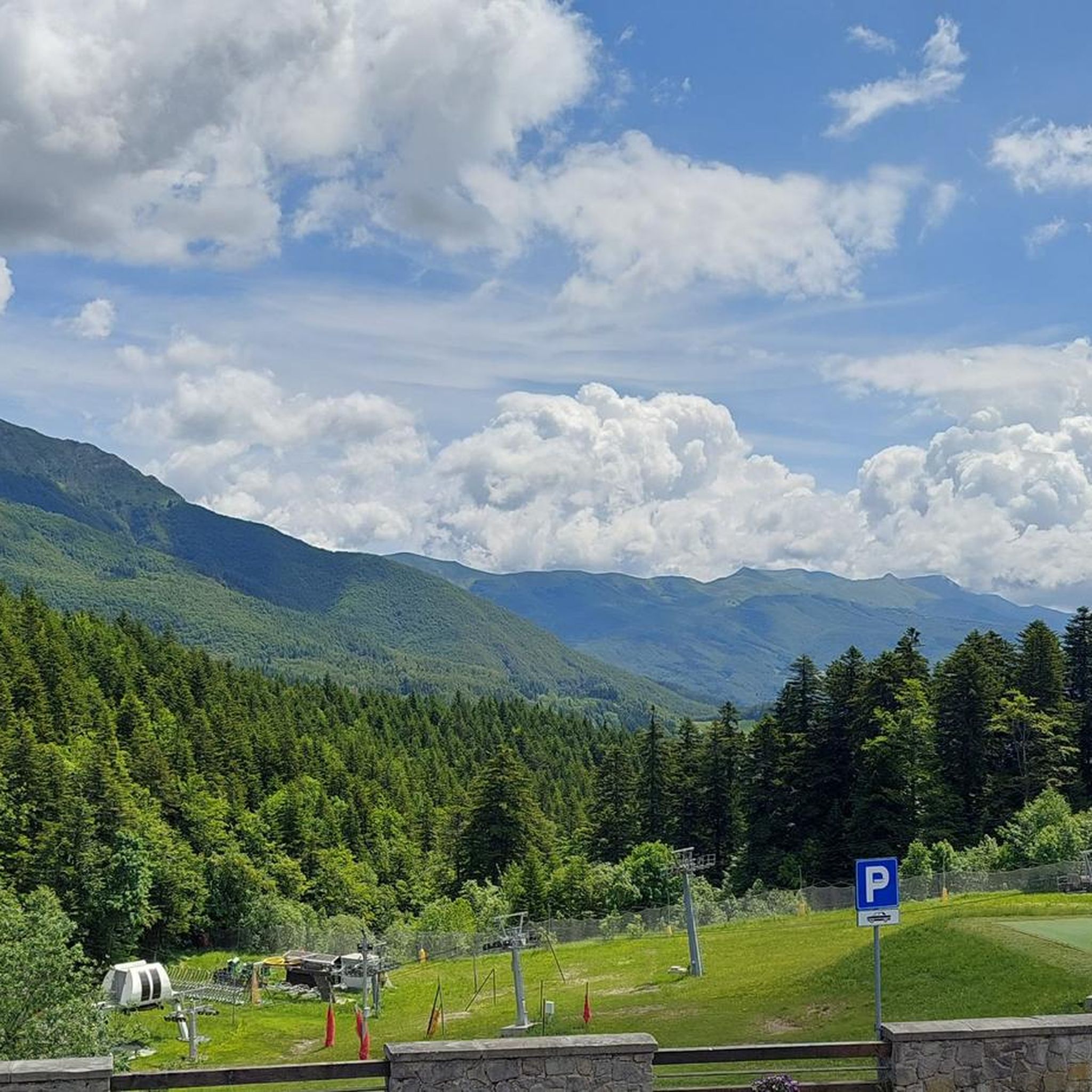
Camping and B&B Bucaneve is one of those places where high mountains meet warm and genuine hospitality, along the evocative ridges of the Tuscan-Emilian Apennines. Nestled in the lush woods of Abetone, this welcoming structure combines relaxation, adventure, and nature in a rustic and familiar setting, perfect for a stop during an outdoor itinerary or as a final destination for those who love high altitudes. Camping and B&B Bucaneve is also a meeting place, where passion for the territory is expressed through waking up in the open air, nights under the stars, and moments of sharing after a long bike ride or hike. A point of balance between mountain landscapes, sports, and deep relaxation, where you can fully experience the Apennines of Pistoia. Camping and B&B Bucaneve is also the ideal place to recharge your e-Bike and earn DINAclub points. Find out how at: dinaclub.repower.com To discover the territory, here is an itinerary ready to be cycled: https://www.komoot.com/it-it/tour/2948337757
0
0

Refuge with renovated private rooms and very good cuisine. It is an excellent starting point for various excursions in the area and the management is very friendly. From the parking lot (paid) it takes about 10 minutes of uphill walking to reach the Refuge. The manager Massimo is a great person, it is always a pleasure to return to them!
1
0

quiet ride suitable for everyone
0
0

Lake and suggestive setting, with a path that covers the practicable shore of the lake Santo
0
0

beautiful lake from which many paths start, the food at the refuge is very good and the manager is very friendly
0
0

The lake is located at an altitude of 1,501 m above sea level and is the largest natural lake in the Modena Apennines and the second largest in the entire northern Apennines, slightly surpassed by its namesake in Parma: it has a perimeter of 1250 m, a length of about 550 m, and its surface area is 58,000 m2, while its maximum depth is about 20 meters, found in the sector below the wall of Monte Giovo; its reservoir capacity is about 450,000 m3. The Lago Santo is fed by three tributaries: one descends from the Boccaia, another from the Serra ridge, and the third from the Borra dei Porci terrace; there is instead a single outlet located at the southern end near the Rifugio Vittoria. The lake has a mixed origin, glacial and landslide.
0
0

The tour doesn't have any difficult passages but requires a good workout for the length of the route… the lakes are all very beautiful (unfortunately the cloudy lake was dry) all the others ok! In summer it is advisable to bring lots of water with you...fantastic tour 💙🏞️
0
0

At 1,480 meters above sea level, right on the edge of the woods of Mount Maiore, there is a large meadow known as La Verginetta, probably so called due to the presence of a small chapel nearby. Here you will also find the La Casetta di Lapo refuge, making it a great place to take a break. The trail in this section, from Abetone to Libro Aperto, follows the border between Emilia-Romagna and Tuscany, taking you back and forth between these two regions. The terrain is ideal for running.
1
0
Frequently Asked Questions
How many touring cycling routes are available in Riserva naturale Abetone?
There are over 30 touring cycling routes in Riserva naturale Abetone, offering diverse experiences across its mountainous terrain. The komoot community has explored these routes over 700 times, with an average rating of 4.5 stars.
What kind of terrain can I expect on touring cycling routes in Riserva naturale Abetone?
The region is characterized by a mountainous Apennine landscape, featuring challenging climbs and scenic descents. You'll cycle through dense coniferous and beech forests, mixed woodlands, ridge grasslands, and past river basins like the Lima and Sestaione torrents. Many routes involve significant elevation changes.
Are there any easy touring cycling routes suitable for beginners in Riserva naturale Abetone?
While many routes in Riserva naturale Abetone are rated as difficult due to the mountainous terrain, there is at least one easy touring cycling route available. It's advisable to check the route details on komoot for specific elevation profiles and distances to match your skill level.
What natural features or landmarks can I see along the touring cycling routes?
You can explore several notable features. The historic Pyramids of Passo dell'Abetone are a unique sight. You might also pass through the beautiful Beech forest in the Abetone Nature Reserve or enjoy views from the Verginetta Pass. The Abetone Pass itself is a significant landmark for cyclists.
Are there any circular touring cycling routes in the area?
Yes, many touring cycling routes in Riserva naturale Abetone are loops. For example, consider the Pyramids of Passo dell'Abetone – Oratory of San Rocco loop from Abetone Cutigliano, which is a 14.4-mile trail, or the longer Lake of the Nymph – Bedini Fountain loop from Abetone, spanning nearly 30 miles.
What is the best time of year to go touring cycling in Riserva naturale Abetone?
Summer is generally ideal for touring cycling in Riserva naturale Abetone, offering pleasant weather to enjoy the mountainous routes and diverse forests. The region is a frequented holiday resort year-round, but for cycling, the warmer months provide the best conditions.
Are there any family-friendly touring cycling options?
While many routes are challenging, the region offers diverse options. For families, it's best to look for routes specifically marked as easy or moderate, focusing on less steep sections or dedicated paths. The area's infrastructure, including picnic areas, can enhance a family outing.
What are some of the longer touring cycling routes available?
For a longer ride, the Lake of the Nymph – Bedini Fountain loop from Abetone covers 29.8 miles (48.0 km) with significant elevation. Another option is the Oratory of San Rocco – Lago Santo loop from Abetone, which is 26.6 miles (42.8 km) long.
Can I find cafes or accommodation near the touring cycling trails?
Yes, Abetone is a well-established holiday resort with supporting infrastructure. You can expect to find cafes, pubs, and accommodation options in and around the main towns and villages, especially near popular starting points for routes. The area caters to tourists throughout the year.
What makes touring cycling in Riserva naturale Abetone unique?
The unique appeal lies in its dramatic Apennine landscape, offering a blend of challenging climbs and rewarding descents through ancient forests of white fir and beech. The historical significance of the Abetone Pass and the presence of natural features like the Sestaione Valley add to the immersive experience, making it a destination for both adventure and natural beauty.
Is there public transport or parking available for cyclists?
The region caters to visitors, and while specific public transport details for cyclists might vary, parking is generally available in and around the towns and popular trailheads. It's advisable to check local information for the most current details on parking facilities and any public transport options that might accommodate bicycles.
What kind of wildlife might I encounter while cycling?
The reserve is home to diverse fauna. You might spot various mammals such as wolves, roe deer, martens, and squirrels. The rich flora, including vibrant blooms like common columbine and martagon lily, also adds to the natural beauty of the routes.
Most popular routes around Riserva naturale Abetone
Most popular attractions around Riserva naturale Abetone

Get inspired with the komoot mobile app


Explore more
Browse the best Cycling routes in other regions.
