The best walks and hikes around Vilafranca / Villafranca del Cid
4.8
(50)
226
hikers
22
hikes
Hiking around Vilafranca / Villafranca del Cid offers diverse terrain in the Maestrazgo castellonense, characterized by an abrupt geography dominated by limestone rocks. Situated at an elevation of 1,125 meters, the region features a rich variety of Mediterranean flora, including oaks, pines, and yews. Hikers can explore landscapes shaped by centuries of human interaction, including notable dry stone architecture. The area provides varied experiences across its natural features and cultural heritage.
Best hiking trails around Vilafranca / Villafranca del Cid
- The most popular hiking route is Caves and Pond – Views from the Peak loop from Vilafranca, a 9.0 miles (14.5 km) trail that takes 4 hours 8 minutes to complete. This route offers panoramic views and passes through significant natural features.
- Another top favourite among local hikers is Views from the Peak – Caves and Pond loop from Vilafranca, a moderate 7.4 miles (11.9 km) path. This trail provides varied perspectives of the landscape, including views from elevated points and passages near natural caves.
- Local hikers also love the Caves and Pond loop from Vilafranca, a 2.2 miles (3.6 km) trail leading through natural caves and a pond, often completed in about 1 hour 3 minutes.
- Hiking around Vilafranca / Villafranca del Cid is defined by limestone rock formations, abundant Mediterranean flora, and historic dry stone architecture. The network offers options for various ability levels, from easy strolls to moderate treks.
- The routes in Vilafranca / Villafranca del Cid are highly rated by the komoot community with an average score of 4.8 stars from over 45 reviews. More than 200 hikers have used komoot to explore Vilafranca / Villafranca del Cid's varied terrain.
Last updated: July 1, 2026
5.0
(2)
9
hikers
14.5km
04:08
320m
320m
Moderate hike. Good fitness required. Mostly accessible paths. Sure-footedness required.
8
hikers
3.59km
01:03
110m
100m
Easy hike. Great for any fitness level. Easily-accessible paths. Suitable for all skill levels.

Sign up for free
4.7
(3)
6
hikers
11.9km
03:27
300m
300m
Moderate hike. Good fitness required. Mostly accessible paths. Sure-footedness required.
4.7
(3)
5
hikers
12.3km
03:18
150m
150m
Moderate hike. Good fitness required. Easily-accessible paths. Suitable for all skill levels.
5.0
(1)
4
hikers
7.02km
02:02
180m
170m
Moderate hike. Good fitness required. Easily-accessible paths. Suitable for all skill levels.
Get access to more routes and recommendations from other explorers.
Sign up for free
Already have an account?
Our route recommendations are based on thousands of hikes, rides, and runs completed by other people on komoot.
Start today with a free account
Your next adventure awaits.
Login or Signup
Popular around Vilafranca / Villafranca del Cid
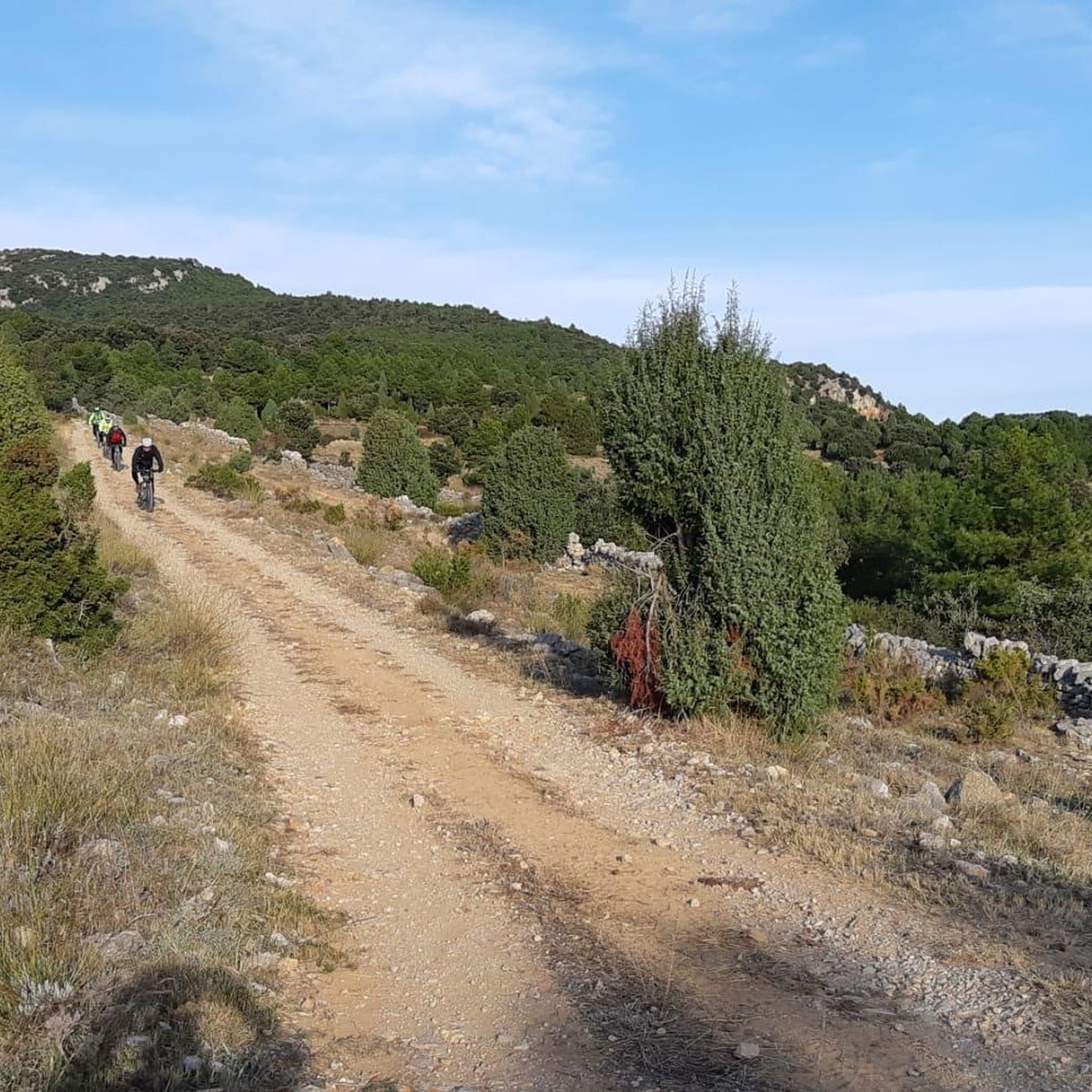
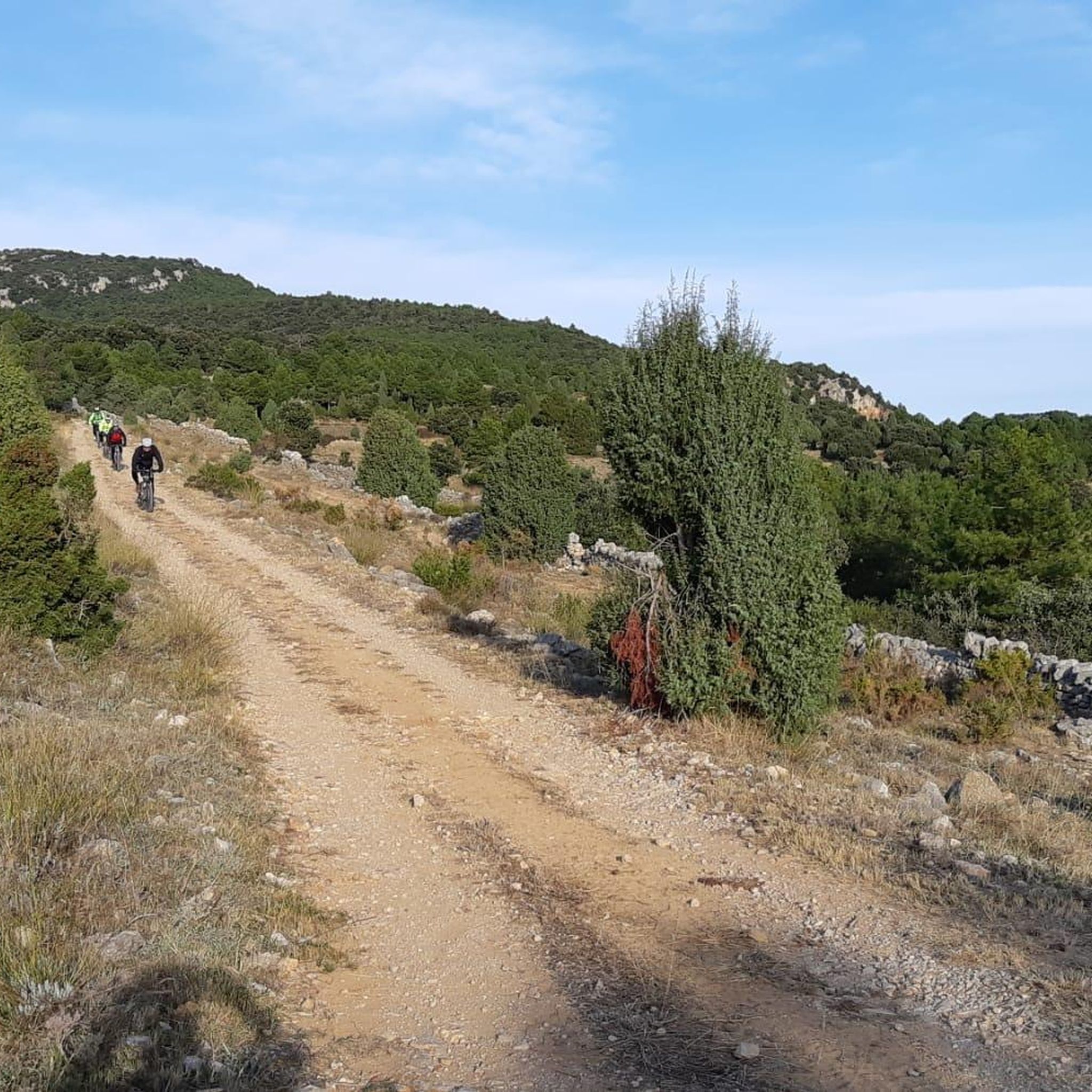
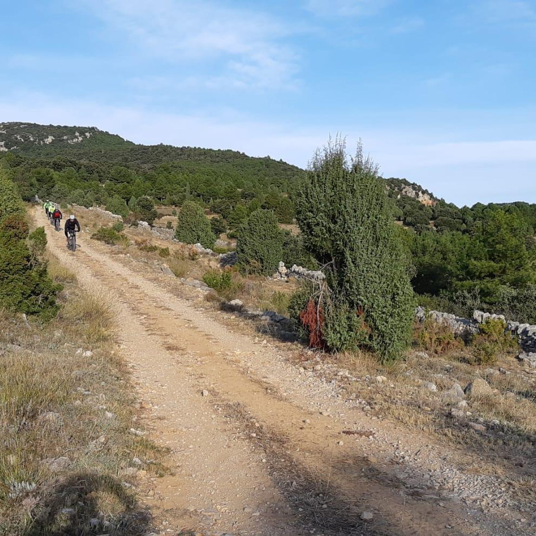
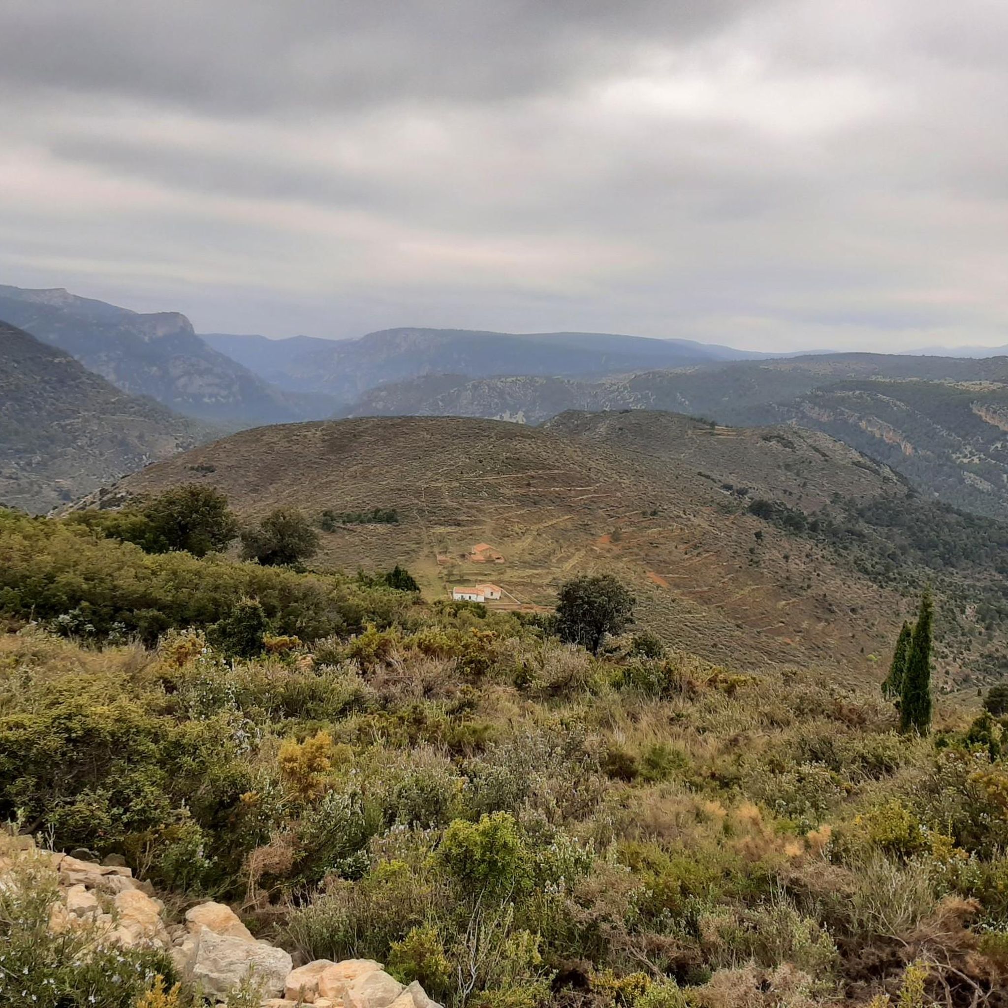

Tips from the Community


Shortly after leaving Villafranca del Cid along the Mosqueruela road, it makes a curve that allows us to contemplate the town for the last time. From this place you can see the entire south façade of Villafranca, leaning out on the edge of the Las Tejeras ravine.
0
0

Vilafranca del Cid is one of the towns that are on the line of the Valencian community and that of Teruel, where in its medieval origin it is located to the north of the town, near the Río de las Truchas.
0
0

It is always good to know the sources near the route
1
0
Frequently Asked Questions
What types of hiking trails can I find in Vilafranca del Cid?
Vilafranca del Cid offers a diverse range of hiking trails, from easy strolls to more demanding moderate treks. The region's abrupt geography, dominated by limestone rocks, provides varied terrain. You'll find routes exploring natural features like caves and ponds, as well as paths showcasing the area's unique dry stone architecture. There are 22 hiking routes available, with 5 easy and 17 moderate options.
Are there any easy hiking trails suitable for beginners or families?
Yes, there are several easy trails perfect for beginners or families. One popular option is the Caves and Pond loop from Vilafranca, which is 3.6 km long and takes about 1 hour to complete. This trail allows you to experience some of the region's natural beauty without significant elevation gain.
What natural features can I expect to see while hiking in Vilafranca del Cid?
The region is rich in natural beauty. You can expect to see diverse Mediterranean flora, including oaks, pines, yews, and various aromatic plants like lavender and thyme. Notable geological features include limestone rock formations and the fascinating El Forcall Caves. The Caves and Pond – Views from the Peak loop from Vilafranca is a great way to explore some of these natural highlights.
Are there any circular hiking routes available?
Yes, many of the trails in Vilafranca del Cid are circular, allowing you to start and end in the same location. Popular circular routes include the Caves and Pond – Views from the Peak loop from Vilafranca and the Views from the Peak – Caves and Pond loop from Vilafranca, both offering different perspectives of the landscape.
What historical or cultural landmarks can I discover along the trails?
Vilafranca del Cid's hiking trails often integrate with its rich cultural heritage. You'll encounter extensive examples of 'dry stone architecture,' a traditional building technique declared Intangible Cultural Heritage by UNESCO. These include ancient fences and huts. Additionally, you might find historical sites like the Roman Bridge or the Font d'en Segures.
What do other hikers say about the trails in Vilafranca del Cid?
The hiking routes in Vilafranca del Cid are highly regarded by the komoot community, holding an average rating of 4.8 stars from over 45 reviews. Hikers often praise the varied terrain, the stunning panoramic views, and the opportunity to explore both natural wonders and historical dry stone architecture.
Are there any viewpoints offering panoramic vistas?
Absolutely. The region's elevation and abrupt geography provide numerous opportunities for panoramic views. Mount Picayo, for instance, offers stunning vistas of the River Monlleó and its surroundings. Routes like the Views of Villafranca del Cid – Villafranca del Cid loop from Vilafranca are specifically designed to showcase these elevated perspectives.
What is the best time of year to go hiking in Vilafranca del Cid?
Given its Mediterranean climate and elevation, spring and autumn are generally the most pleasant seasons for hiking in Vilafranca del Cid. The temperatures are milder, and the natural flora is vibrant. Summer can be warm, so early mornings or late afternoons are preferable, while winter offers a different, often crisp, hiking experience.
Are there any specific attractions or places to explore near the hiking areas?
Beyond the trails, the area boasts several interesting attractions. You can visit the Culla Historic Village, explore the El Rivet Municipal Nature Park, or discover the Church of the Assumption of Our Lady (Ares del Maestre). These spots offer a deeper dive into the region's natural and cultural heritage.
Is there parking available near the trailheads in Vilafranca del Cid?
While specific parking details for every trailhead are not provided, Vilafranca del Cid is a town that caters to visitors. It is generally possible to find parking within or on the outskirts of the town, especially near popular starting points for hiking routes. We recommend checking local signage upon arrival.
What kind of flora and fauna can I observe on the trails?
The region is characterized by abundant Mediterranean flora. You'll encounter various species of oaks (robles, encinas, carrascas), black and Scots pine, yews, holly, and savins. Other plants include boxwood, junipers, maples, and aromatic herbs like lavender and thyme. While not explicitly detailed, the diverse habitats also support various local wildlife, though sightings depend on luck and quiet observation.
Are there any trails that feature water elements like rivers or gorges?
Yes, the region has notable water features. The La Fos Gorge and Regatxal Fountain are highlighted as must-see natural spots. The town's medieval origin is also near the River of Truchas (Río de las Truchas), where a Gothic bridge can be found in La Pobleta de San Miguel, offering picturesque scenes along some routes.
Most popular routes around Vilafranca / Villafranca del Cid
Most popular attractions around Vilafranca / Villafranca del Cid

Get inspired with the komoot mobile app


Explore more
Browse the best Hikes in other regions.
