The best road cycling routes around Abusejo
5.0
(2)
58
riders
15
rides
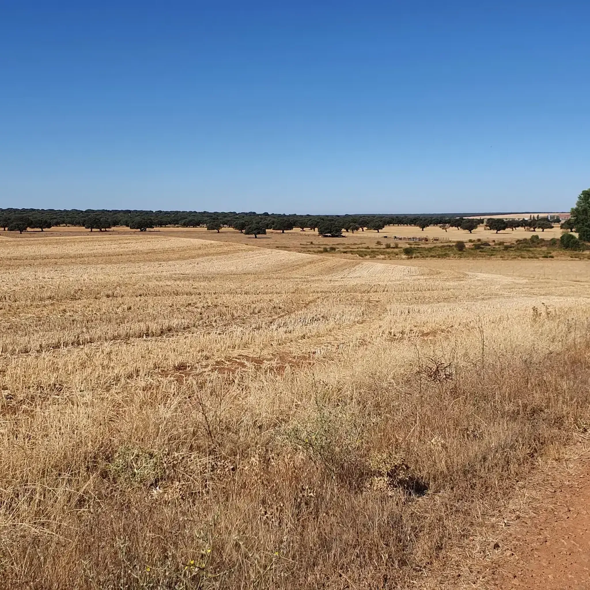
Road cycling routes around Abusejo traverse a landscape characterized by rolling hills and open countryside, offering varied terrain for cyclists. The region features a mix of moderate ascents and descents, with some routes reaching higher elevations such as the Los Lobos Pass. This area provides opportunities for exploring rural roads and scenic vistas, with routes often passing through small villages and agricultural lands.
Best road cycling routes around Abusejo
- The most popular road cycling route is Campo Charro Loop from…
Last updated: July 2, 2026
71.2km
03:02
610m
610m
Cycle a moderate 44.2-mile (71.2 km) route around Tamames and Río Huebra, exploring rural villages and historic sites in Campo Charro.
10
riders
59.1km
02:44
730m
730m
Moderate road ride. Good fitness required. Some segments of this route may be unpaved and difficult to ride.

Sign up for free
9
riders
37.5km
01:30
200m
200m
Easy road ride. Great for any fitness level. Mostly well-paved surfaces and easy to ride.
5.0
(1)
9
riders
77.3km
03:46
1,160m
1,160m
Hard road ride. Very good fitness required. Mostly well-paved surfaces and easy to ride.
6
riders
46.3km
01:59
290m
290m
Easy road ride. Great for any fitness level. Mostly well-paved surfaces and easy to ride.
Get access to more routes and recommendations from other explorers.
Sign up for free
Already have an account?
Our route recommendations are based on thousands of hikes, rides, and runs completed by other people on komoot.
Start today with a free account
Your next adventure awaits.
Login or Signup
Popular around Abusejo
Tips from the Community

Beautiful view here, now the last stretch to the top with 200 altitude meters to go.
0
0

This is the Wolves Pass, the end of the climb to Peña de Francia (Granite Throne) ;)
0
0


Great viewpoint of the Agadon Valley, a mandatory stop on the way up to Peña de Francia or the descent, to take more photos and read interesting facts on the information panel.
2
0

Tamames stands in the middle of Campo Charro. It is a municipality whose first settlement must be traced back to the Lower Palaeolithic, a period from which some carved stone tools were discovered. At the entrance of the town you can see the public laundry that existed in past times in this town.
0
0
Berrocal de Huebra is a small municipality located in the center of the province of Salamanca, belonging to the Campo Charro region, halfway between the towns of Tamames and Vecinos, with a great bullfighting tradition. It has six districts, only half of them being inhabited, in some cases with only two people.
0
0
Its name, according to legend, long ago there was a dark forest, in the direction of Tenebrón (hence the name) where there were many wolves, and when someone went to a certain place through this dark forest, they were told God Save Him so that God protect him along the way.
0
0
Small municipality that is located in the Salmantina region of Campo de Yeltes, about 80 km southwest of the city of Salamanca, the provincial capital. The origin of Morasverdes can be established around the numerous flour mills that were established along the river of the same name.
0
0
Frequently Asked Questions
What is the general terrain like for road cycling around Abusejo?
Road cycling routes around Abusejo are characterized by rolling hills and open countryside. You'll encounter a mix of moderate ascents and descents, with some routes reaching higher elevations like the Los Lobos Pass. The area features rural roads, often passing through small villages and agricultural lands.
How many road cycling routes are available in the Abusejo region?
There are 11 road cycling routes available around Abusejo, offering a variety of options for different skill levels.
Are there any easy road cycling routes suitable for beginners in Abusejo?
Yes, there is one easy road cycling route. The Morasverdes – Dios le Guarde loop from Sepulcro-Hilario is a good option, covering 28.7 miles (46.3 km) through rural landscapes with less significant elevation changes.
What are some challenging road cycling routes near Abusejo?
For those seeking a challenge, there are three difficult road cycling routes in the region. One notable option is the Los Lobos Pass (1,499 m) – Ascent to Peña de Francia loop from Puebla de Yeltes, which features significant elevation gain over its 42.8 km distance.
Are there any circular road cycling routes around Abusejo?
Many of the routes in Abusejo are circular. For example, the popular Campo Charro Loop from Tamames is a 44.2-mile (71.2 km) circular route exploring open plains and gentle hills. Another option is the Tamames Tower – Cilleros de la Bastida loop from Puebla de Yeltes, a 36.7-mile (59.1 km) loop with significant elevation changes.
What is the best time of year to go road cycling in Abusejo?
The best time for road cycling in Abusejo is typically during spring and autumn when temperatures are milder and the landscape is vibrant. Summer can be warm, while winter may bring colder conditions, especially at higher elevations like Los Lobos Pass.
Are there any routes that pass by historical landmarks?
Yes, the Tamames Tower – Cilleros de la Bastida loop from Puebla de Yeltes is a moderate route that features significant elevation changes and passes by the historic Tamames Tower, offering a glimpse into the region's past.
What kind of scenery can I expect on road cycling routes in Abusejo?
You can expect diverse scenery, including open plains, gentle rolling hills, and agricultural lands. Routes often wind through quiet rural roads and small villages, providing scenic vistas of the Spanish countryside.
Are there longer road cycling routes available for endurance training?
Yes, for longer rides, the Campo Charro Loop from Tamames is a substantial 44.2 miles (71.2 km) route, ideal for those looking for extended time in the saddle across open plains.
What are the typical elevation profiles for road cycling in Abusejo?
The region features varied elevation profiles. Many routes involve moderate ascents and descents, with some reaching notable climbs. For instance, the Los Lobos Pass (1,499 m) – Ascent to Peña de Francia loop from Puebla de Yeltes includes a significant climb to Los Lobos Pass.
What is the most popular road cycling route in Abusejo?
The most popular road cycling route is the Campo Charro Loop from Tamames, a 44.2 miles (71.2 km) trail that explores the open plains and gentle hills of the Campo Charro region.
Most popular routes around Abusejo

Get inspired with the komoot mobile app


Explore more
Browse the best Road cycling routes in other regions.
