The best walks and hikes around Encío
4.4
(86)
634
hikers
73
hikes
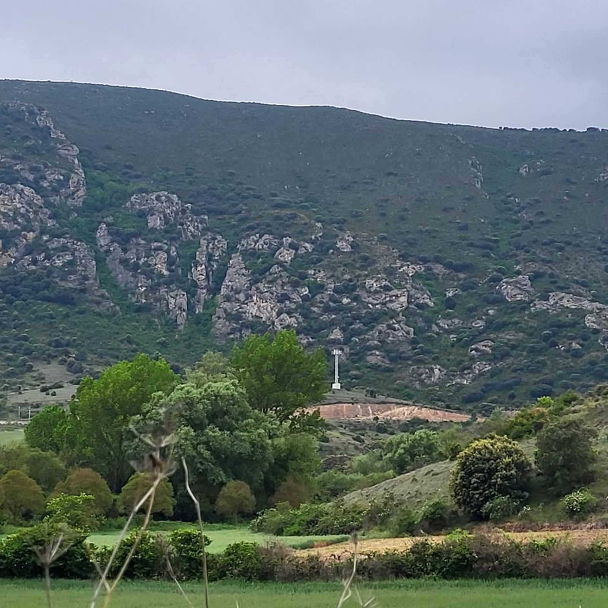
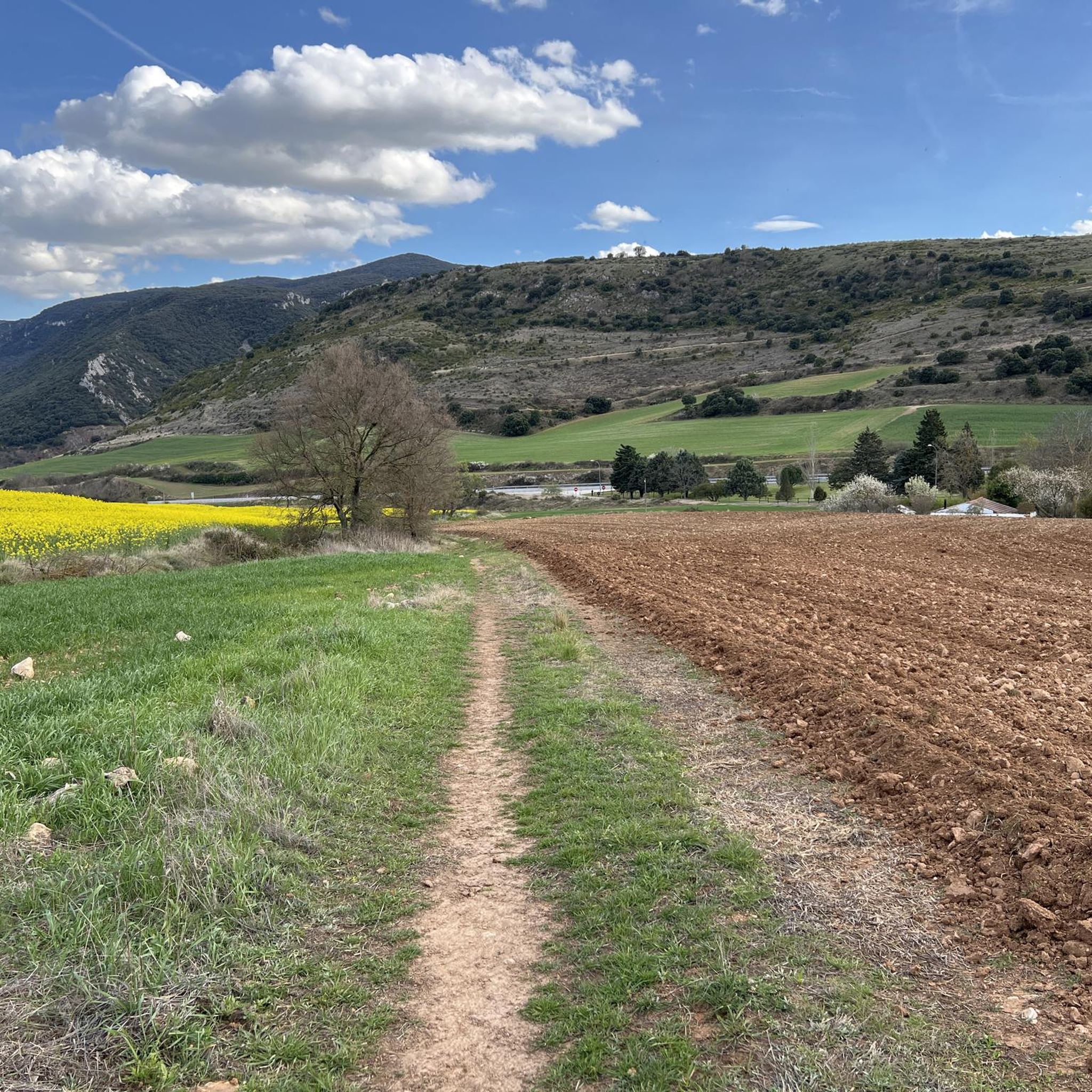
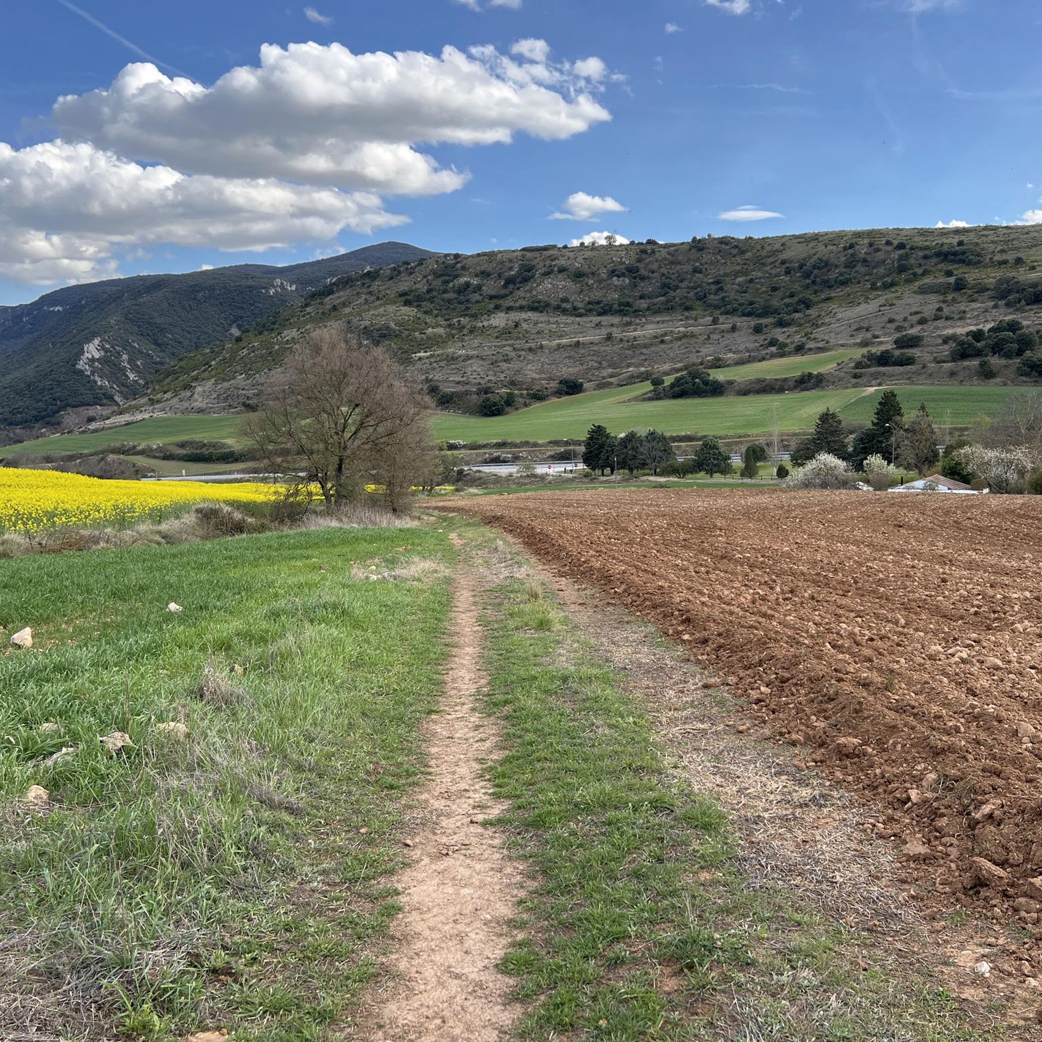
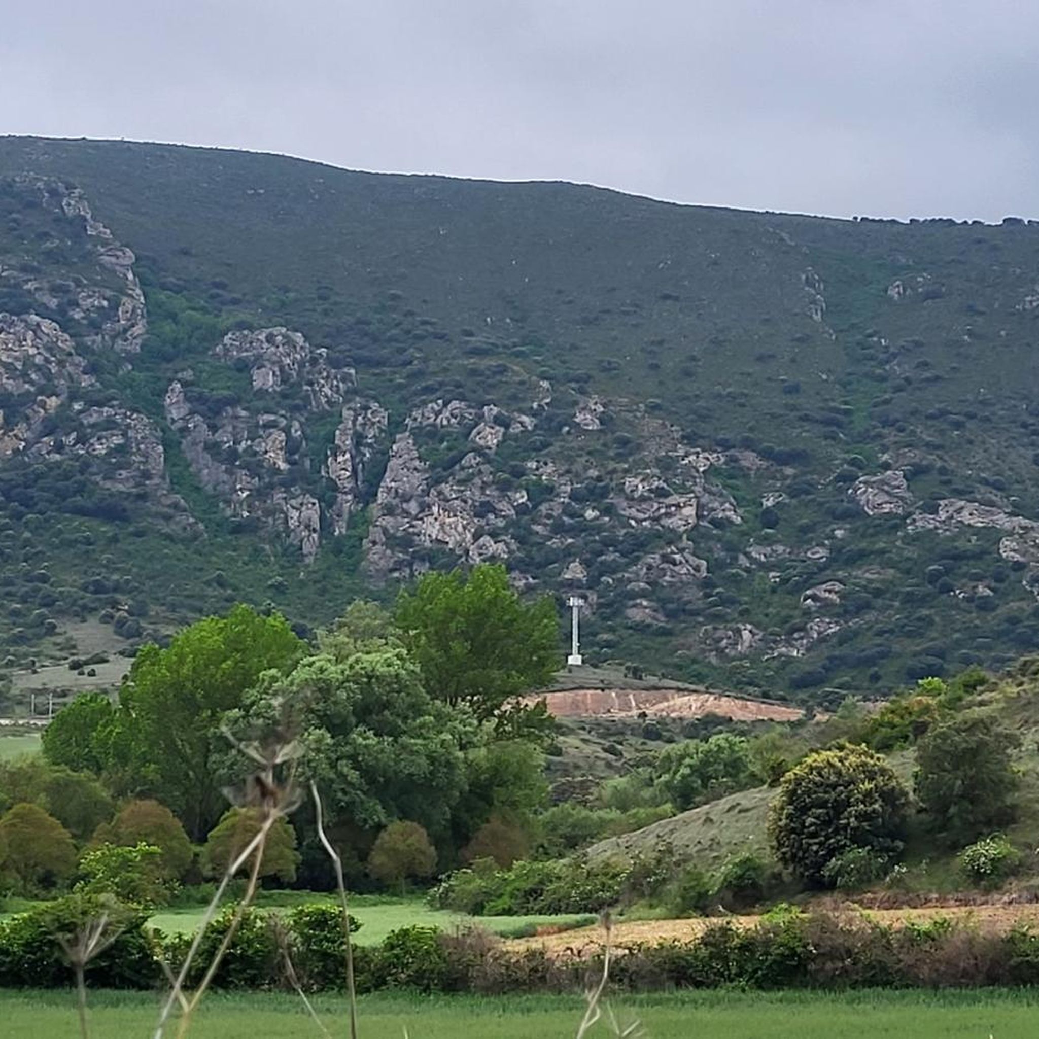
Hiking around Encío offers access to the Montes Obarenes-San Zadornil Natural Park, characterized by diverse natural features. The region features calcareous cliffs, rugged gorges, and extensive forests of beech and oak. Hiking trails in Encío present varied topography, with elevations ranging from approximately 587 meters to 788 meters.
Best hiking trails around Encío
- The most popular hiking route is Barbalantes and Valcavado Peak Trail, a 10.6 miles (17.1 km) trail that takes 5 hours 24 minutes to complete. This…
Last updated: November 1, 2026
10.3km
03:05
330m
330m
Moderate hike. Good fitness required. Easily walkable paths.
17.1km
05:24
620m
620m
Hard hike. Very good fitness required. Mostly walkable paths. Sure-footedness required.

5.0
(1)
17
hikers
3.10km
01:03
160m
160m
Easy hike. Easily walkable paths.
5.0
(1)
13
hikers
10.4km
03:01
260m
260m
Moderate hike. Good fitness required. Easily walkable paths.
8
hikers
9.86km
03:31
550m
550m
Moderate hike. Good fitness required. Easily walkable paths.
Get access to more routes and recommendations from other explorers.
Already have an account?
Our route recommendations are based on thousands of hikes, rides, and runs completed by other people on komoot.
Start today with a free account
Your next adventure awaits.

Tips from the Community

A must-see if you have climbed the nearby mountains.
3
0
The walk through the ruins of the fort is very interesting.
3
0
In the upper area of the Santa Engracia fortress, next to a beautiful viewpoint.
3
0
Easy to get to and with extraordinary views.
3
0
Simple and with very good views.
0
0
Coming from Alto del Baragón and Peña las Yeguas.
1
0
Nice summit and nice path, and the views, couples.
3
0

Just above the town of Pancorbo is its old castle which is now in ruins. The path that goes through it crosses what used to be its walls and where the views that fall to the aforementioned town are spectacular.
0
0
Frequently Asked Questions
How many hiking trails are available around Encío?
Encío offers a wide variety of hiking experiences, with over 70 trails recorded on komoot. These routes cater to different fitness levels, including 11 easy, 48 moderate, and 11 difficult options, ensuring there's something for everyone.
What kind of terrain can I expect on hikes in Encío?
The terrain around Encío is quite varied, characterized by dramatic calcareous cliffs, rugged gorges, and extensive forests of beech and oak. You'll encounter a range of altitudes, with routes featuring ascents and descents between approximately 587 meters and 788 meters, providing diverse and picturesque landscapes.
Are there any circular hiking routes in Encío?
Yes, Encío is known for its circular hiking routes. One popular option is the Los dos Oteros y Carrasalineros — circular desde Ameyugo, a moderate 10.3 km path that explores varied landscapes. Another great choice is the AreaLosPaules – San Mamés Hermitage loop from Encío, a moderate 8.69 km route.
What are some notable landmarks or viewpoints I can discover while hiking?
Hiking in Encío offers opportunities to see several interesting landmarks and enjoy panoramic views. You can find mountain passes like Portillo de Busto and PortilloDeLosJabalies. For historical sights, consider visiting the Santa Marta Castle or the Carlos III Bridge. Many trails also offer stunning Views of Valle La Campa and Pancorbo.
What do other hikers enjoy most about the trails in Encío?
The hiking trails in Encío are highly rated by the komoot community, with an average score of over 4.2 stars from more than 60 reviews. Hikers often praise the diverse natural features, including the unique calcareous cliffs and the tranquil beech and oak forests, as well as the well-defined paths within the Montes Obarenes-San Zadornil Natural Park.
Are there any family-friendly hiking options in Encío?
While specific 'family-friendly' designations aren't always available, the region offers several easy and moderate routes that could be suitable for families. For instance, the 'Sendero de Encío' (BU-SLC-90) mentioned in local guides is a circular route of about 7.4 km with a low difficulty level, making it accessible for a wide range of hikers and typically completed in under 2.5 hours.
Is Encío a good destination for dog-friendly hikes?
Encío, being part of the Montes Obarenes-San Zadornil Natural Park, generally welcomes dogs on its hiking trails. The extensive forests and varied terrain provide ample opportunities for you and your dog to explore. However, it's always recommended to keep dogs on a leash, especially in protected areas, and to check local regulations for specific trails.
What is the best time of year to go hiking in Encío?
Encío offers beautiful hiking opportunities throughout much of the year. Spring and autumn are particularly pleasant, with mild temperatures and vibrant natural colors in the forests. Summer can be warm, but the dense beech and oak woodlands provide welcome shade. Winter hiking is possible, but conditions may vary, especially at higher elevations, so checking local weather is advisable.
Are there any longer, more challenging hikes for experienced hikers?
Yes, for experienced hikers seeking a challenge, Encío offers more difficult routes. The Barbalantes and Valcavado Peak Trail is a difficult 17.1 km route with significant elevation changes, typically taking over 5 hours to complete. This trail provides a rewarding experience for those looking for a strenuous adventure.
Where can I find parking for hiking trails in Encío?
While specific parking details for every trailhead are not always listed, Encío is a small locality, and parking is generally available near the village center or at designated starting points for popular trails. For routes starting from nearby villages like Ameyugo or Miraveche, you can usually find parking within those communities.
Can I reach hiking trails in Encío using public transport?
Public transport options directly to every trailhead in Encío may be limited due to its rural location within a natural park. It's advisable to check local bus schedules for services to Encío or nearby towns like Pancorbo or Miranda de Ebro, from where you might need to arrange further transport or walk to the trailheads.
Are there any historical features along the hiking routes?
Yes, the region around Encío is rich in history. A unique historical feature integrated into the hiking experience is a Napoleonic-era road that connects Encío with Cubilla, traversing a broken valley amidst the cliffs and gorges. Additionally, the Romanesque Church of St. James (San Cosme y San Damián) is a prominent landmark overlooking the old town.
Most popular attractions around Encío

Get inspired with the komoot mobile app


Explore more
Browse the best Hikes in other regions.
