The best walks and hikes around Villada
4.0
(56)
423
hikers
13
hikes
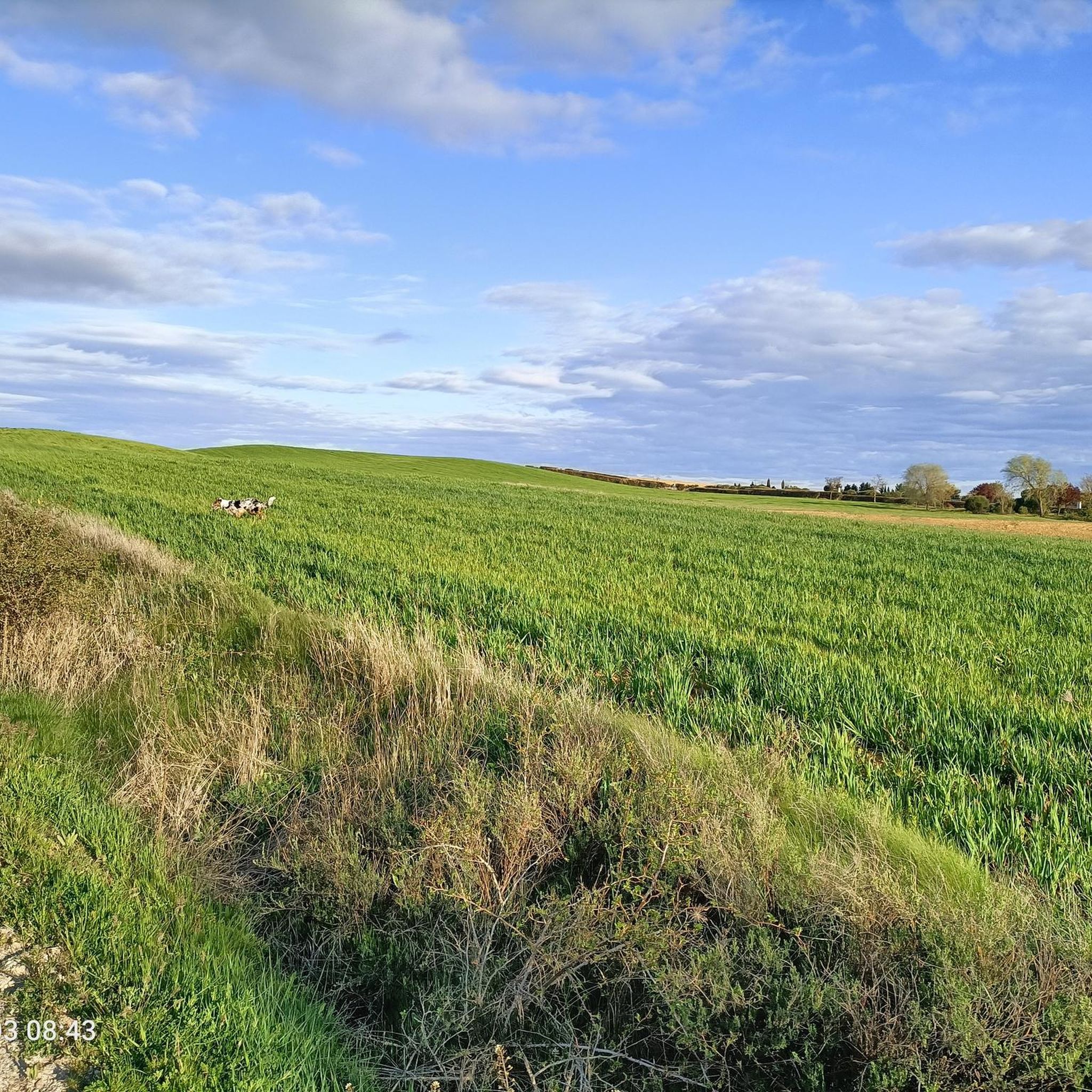
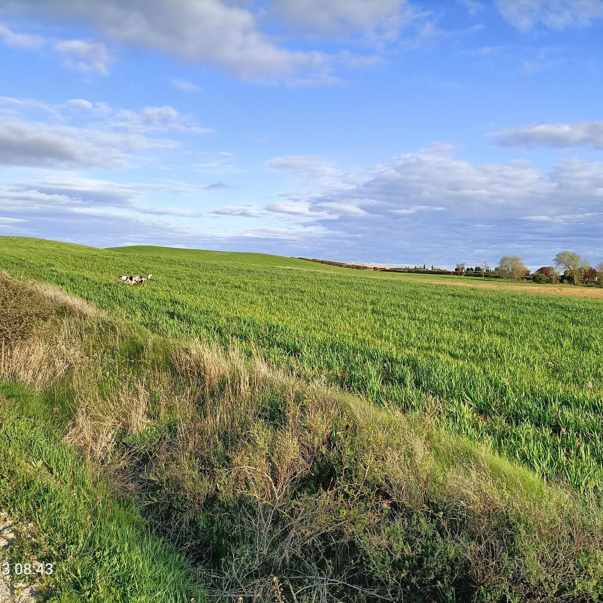
Hiking around Villada offers access to the flat, agricultural landscapes of the Tierra de Campos region, characterized by open plains and gentle undulations. The area's hiking trails often follow historic pilgrimage routes like the Camino de Santiago Francés. While Villada itself is situated in this plains environment, the broader province of Palencia provides access to the Montaña Palentina Natural Park to the north, which features a mountainous terrain with peaks exceeding 2,500 meters, deep valleys, and forests.
Best hiking trails…
Last updated: October 29, 2026
3.0
(1)
2
hikers
15.2km
04:00
140m
140m
Hike the 9.4-mile Camino Francés section from Moratinos to the geographical center, a moderate route through the Spanish Meseta.
Hike a moderate 10.0-mile (16.1 km) circular route from Población de Arroyo, experiencing the Meseta landscape of the Camino de Santiago Fra

13.5km
03:26
30m
30m
Moderate hike. Good fitness required. Easily walkable paths.
16.0km
04:08
80m
80m
Hike the 9.9-mile (16.0 km) Madrid Way of Saint James: Grajal de Campos Loop, a moderate route with 271 feet (82 metres) of elevation gain.
Hard hike. Very good fitness required. Easily walkable paths.
Get access to more routes and recommendations from other explorers.
Already have an account?
Our route recommendations are based on thousands of hikes, rides, and runs completed by other people on komoot.
Start today with a free account
Your next adventure awaits.
Popular around Villada

Tips from the Community

Ledigos, in the province of Palencia, is a small town with about 60 inhabitants, located on the French Way of St. James, between Calzadilla de la Cueza and Terradillos de los Templarios. Its history, architecture, and natural surroundings make it an interesting stop for pilgrims and travelers.
1
0
Calzadilla de la Cueza is a small town in the province of Palencia, with just 50 inhabitants, located in the Tierra de Campos region and part of the municipality of Cervatos de la Cueza. It is a major stop on the French Way of St. James and is also linked to the ancient Via Aquitania, a Roman road whose sections are still visible.
1
0

“From gentle rural tracks, you reach this imposing 16th-century artillery fortress. It has a square layout with towers and sloping walls; it preserves loopholes, spiral staircases, and a complete structure. A perfect stop with cultural interest and beautiful panoramic views of Tierra de Campos.” Add this stop to short circular routes (~30 km). Comfortable terrain, good terrain for riding, and stress-free. It fits perfectly with the other stops: Lancia, Torre Almanza, and Ermita Virgen de la Guía.
0
0
The Hermitage of the Virgin of the Bridge is a historic gem located about three kilometers east of Sahagún, in the province of León. Built in the 13th century, the hermitage is an example of the Mudejar style, characterized by its blend of Christian and Islamic elements. It's a place steeped in history and tradition, perfect for a visit if you're in the area.
7
0
Frechilla is a small and charming village in the province of Palencia, near Paredes de Nava. It is known for its tranquility and traditional architecture. Explore the surroundings of the village, which offer beautiful natural landscapes and opportunities to walk and enjoy nature.
3
0

Ledigos is a small village in the province of Palencia, located in the region of Castilla y León, Spain. It lies on the Camino Francés, the popular pilgrimage route to Santiago de Compostela. Despite having a population of only around 66, the village offers three albergues for pilgrims who choose to stay here instead of continuing on to Sahagún. The village has a beautiful church, the Iglesia Parroquial de Santiago Apóstol, with altars from the 17th and 18th centuries and a modern brick bell tower. It also offers beautiful views of the surrounding area due to its hilltop location.
1
0

These mounds of earth are often seen. They are often used as storage space.
1
0
Directly on the Way of St. James you can see this earthen cave, which was dug for the storage of wine and food.
2
0
Frequently Asked Questions
What kind of terrain can I expect on hikes around Villada?
Hikes directly around Villada typically traverse the flat, agricultural landscapes of the Tierra de Campos region, characterized by open plains and gentle undulations. However, the broader Palencia province offers access to the Montaña Palentina Natural Park to the north, where you'll find mountainous terrain with peaks exceeding 2,500 meters, deep valleys, and forests.
Are there easy hiking options available near Villada?
Yes, there are several easy hiking options. The trails in the immediate vicinity of Villada are generally flat and suitable for less experienced hikers. Overall, 3 of the 13 available routes are rated as easy, offering accessible walks through the open countryside.
Are there any challenging hikes for experienced trekkers?
While Villada itself is in a flatter region, the wider Palencia province, particularly the Montaña Palentina Natural Park, offers challenging mountain hikes. Within the immediate guide area, there are 3 routes rated as difficult, such as the Arenillas de Valderaduey from Grajal de Campos — circular by the Ruta Jacobea Madrileña, which covers over 22 km.
Can I find circular hiking routes around Villada?
Yes, there are circular routes available. For example, the We leave from Población de Arroyo — circular by the Camino de Santiago Francés is a popular moderate 16.1 km loop that offers views of the plains and agricultural fields.
What natural features or landmarks can I see on hikes near Villada?
While hiking directly around Villada, you'll encounter the open plains and agricultural fields characteristic of the Tierra de Campos. Many routes follow sections of the historic Camino de Santiago. You can also visit landmarks like the Geographical Center of the Camino Francés – Ermita de la Virgen del Puente. Further afield in the Montaña Palentina Natural Park, you can find impressive cliffs, ravines, deep valleys, glacial lakes, and even the Covalagua Waterfall.
Are there any historical sites or points of interest along the trails?
Yes, many trails around Villada follow historic pilgrimage routes like the Camino de Santiago Francés. You can explore sites such as the San Benito Arch and Ruins of the Monastery of San Benito, or the Hermitages of Tierra de Campos from Frechilla route, which leads through historic landscapes.
What do other hikers say about the trails in Villada?
The trails around Villada are well-regarded by the komoot community, holding an average rating of 3.7 stars from 4 reviews. Hikers often appreciate the quiet, open countryside and the historical significance of walking sections of the Camino de Santiago.
Is it possible to access hiking trails using public transport?
Information regarding specific public transport access points for individual trailheads is not readily available in the guide data. Most hikers typically rely on personal vehicles to reach starting points for routes in this region.
Are there options for family-friendly walks?
Given the generally flat and gentle terrain of the Tierra de Campos region around Villada, many of the easier routes are suitable for families. These trails offer open spaces and manageable distances, perfect for walks with children.
What is the best time of year to go hiking in Villada?
The best time to hike around Villada and the wider Palencia province is typically during spring (April-June) and autumn (September-October). These seasons offer pleasant temperatures, less extreme weather, and beautiful natural scenery. Summers can be very hot, especially in the open plains, while winters can be cold.
How many hiking trails are available in the Villada area?
There are over 10 hiking trails documented in the Villada area, offering a variety of options for different skill levels and preferences. This includes 3 easy, 7 moderate, and 3 difficult routes.
Are there any long-distance trails that pass through or near Villada?
Yes, Villada is situated in a region known for its historic pilgrimage routes. Several trails in the area are sections of the Camino de Santiago Francés, such as the Camino Francés: Moratinos to Ermita de la Virgen del Puente, offering opportunities for longer walks.
Most popular routes around Villada
Most popular attractions around Villada

Get inspired with the komoot mobile app


Explore more
Browse the best Hikes in other regions.
