The best MTB trails around Villa De Otura
4.5
(234)
2,060
riders
18
rides
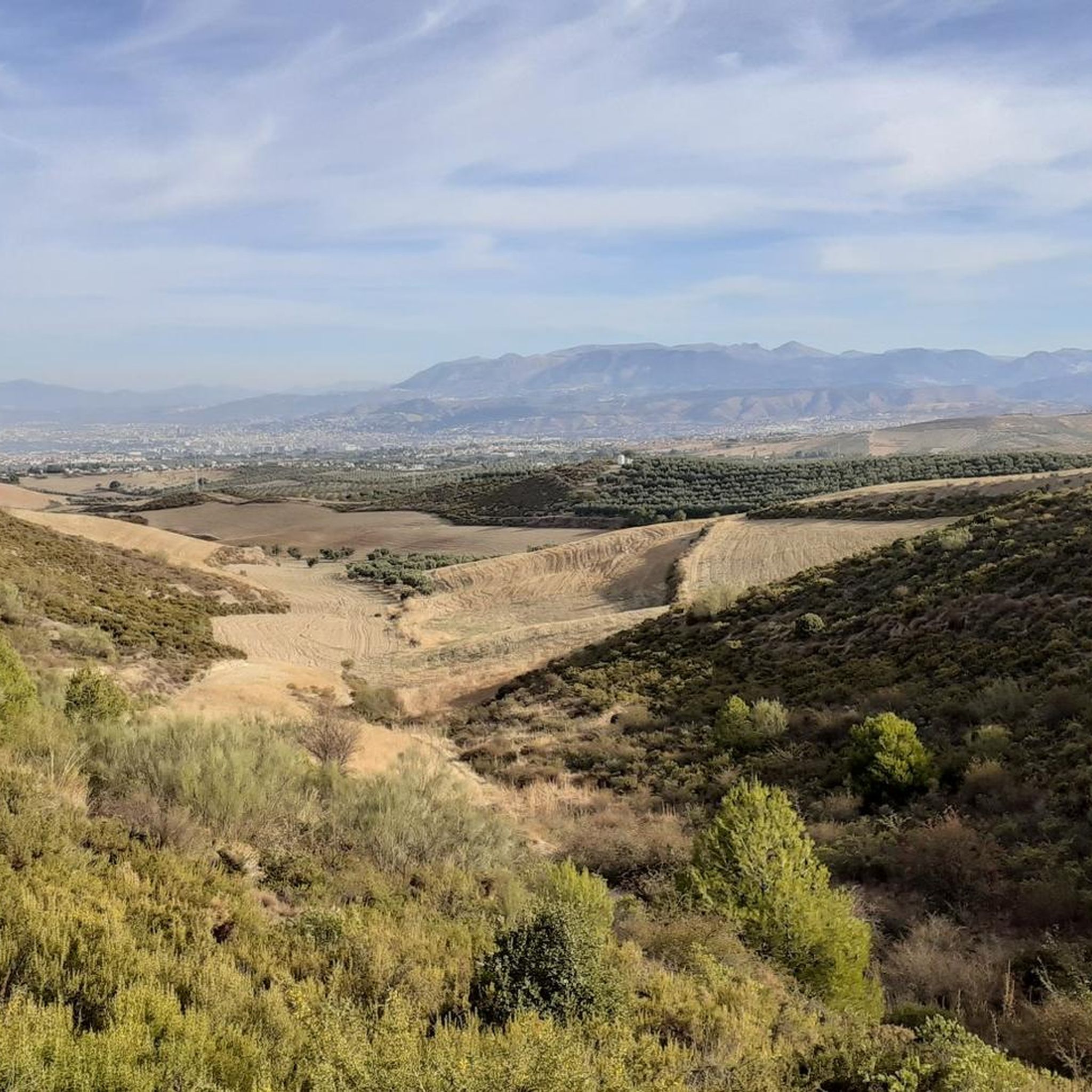
Mountain biking around Villa De Otura offers diverse terrain, from strategic hilly locations providing panoramic views to challenging mountainous areas. The region is characterized by its proximity to the Sierra Nevada, offering rugged and varied landscapes suitable for different levels of cycling. Riders can expect a mix of urban and countryside environments, including fields and access to more technical mountain trails. This varied topography makes Villa De Otura a notable destination for mountain biking.
Best mountain bike trails around Villa…
Last updated: July 5, 2026
4.9
(7)
41
riders
42.8km
03:44
910m
910m
Hard mountain bike ride. Very good fitness required. Advanced riding skills necessary.
20
riders
20.3km
01:19
300m
300m
Easy mountain bike ride. Great for any fitness level. Suitable for all skill levels.

Sign up for free
5.0
(1)
15
riders
41.4km
02:55
430m
430m
Hard mountain bike ride. Good fitness required. Advanced riding skills necessary. Some portions of the route may require you to push your bike.
10
riders
25.4km
03:02
820m
830m
Hard mountain bike ride. Good fitness required. Advanced riding skills necessary. Some portions of the route may require you to push your bike.
5.0
(1)
10
riders
23.0km
01:24
180m
180m
Easy mountain bike ride. Great for any fitness level. Suitable for all skill levels.
Get access to more routes and recommendations from other explorers.
Sign up for free
Already have an account?
Our route recommendations are based on thousands of hikes, rides, and runs completed by other people on komoot.
Start today with a free account
Your next adventure awaits.
Login or Signup
Tips from the Community

The Church of San Gil and Santa Ana, popularly known as the Church of Santa Ana, is a 16th-century Mudéjar monument located in one of Granada's most charming corners: Plaza Nueva, right at the beginning of the Carrera del Darro and at the foot of the Alhambra. Built in 1537 by order of the parish of the same name, on the site of a former main mosque (Almanzora). The project is the work of the renowned architect Diego de Siloé, a central figure of the Renaissance in Granada. Its Mudéjar tower was erected between 1561 and 1563 by Juan Castellar, characterized by its framed openings and alfiz decoration.
12
0

The Church of San Gil and Santa Ana is a small church with a Mudéjar style, located in Plaza Nueva, where the Carrera del Darro begins, marking the start of our route through the Albaicín and Sacromonte districts. It was built according to a design by Diego de Siloé during the second third of the 16th century (1537-1548) on the site formerly occupied by the Almanzora mosque, founded by King Badis. This mosque stood at the foot of the Alhambra, between the right bank of the Darro River and the Almanzora neighborhood, which were connected by a stone bridge. Once the church was built, this bridge was renamed the Santa Ana Bridge. It is in the Mudéjar style.
3
1
The Church of San Gil and Santa Ana is a prime example of Granada's Mudéjar architecture. It stands on the site of a former mosque. Its Renaissance façade, adorned with grotesques and Corinthian columns, was designed by Sebastián de Alcántara, a prominent artist in the city. The tower, decorated with tiles and glazed roof tiles, is the finest example of Mudéjar architecture in the city. Only the old minaret remains of the former mosque. The Granadan heroine Mariana Pineda celebrated her wedding in this church. If you'd like to learn more about Mariana Pineda, here's a link: https://historia.nationalgeographic.com.es/a/mariana-pineda-rebelde-que-eligio-morir-antes-que-delatar-sus-companeros_16811
3
1
Near the Old Hermitage in Dílar, there is a spring and a pool that are very useful for refilling your water bottles during hikes. They are located in the Río Dílar Recreation Area, a few meters from the main building, and are usually signposted along the trails.
1
0
Near the Old Hermitage in Dílar, there is a spring and a pool that are very useful for refilling your water bottles during hikes. They are located in the Río Dílar Recreation Area, a few meters from the main building, and are usually signposted along the trails.
1
0
It is located in the Sierra Nevada Natural Park, about 18 km from the city of Granada, next to the Dílar River and surrounded by riverside forests and walnut groves. A natural viewpoint with spectacular views of the valley and Granada.
1
1

Here, people dance in the square on Saturday evenings 🤩. The older students really dressed up. They played everything that works as a couple's dance. There was a slow waltz, a rumba... if you don't want to dance yourself, you can just watch the others. A fantastic experience and a fantastic atmosphere 😍
6
0

Here again is a great tile mosaic - this time with a recipe.
1
0
Frequently Asked Questions
How many mountain bike trails are available around Villa De Otura?
There are over 20 mountain bike trails around Villa De Otura, catering to various skill levels. This includes 5 easy routes, 15 moderate routes, and 3 difficult routes, offering a wide range of experiences from leisurely rides to challenging ascents.
What kind of terrain can I expect on mountain bike trails in Villa De Otura?
The terrain around Villa De Otura is highly diverse, ranging from strategic hilly locations offering panoramic views of Granada and La Vega, to more challenging mountainous sections closer to the Sierra Nevada. You'll encounter a mix of urban and countryside environments, including fields and technical mountain trails, providing varied gradients suitable for different cycling levels.
Are there any easy mountain bike trails suitable for beginners in Villa De Otura?
Yes, there are several easy mountain bike trails. One popular option is the Río Dílar – Dílar loop from Villa de Otura, which covers 18.7 km with an elevation gain of 287 meters, typically completed in about 1 hour 13 minutes. This route offers a good introduction to the region's landscapes without overly demanding sections.
Are there any challenging mountain bike trails for experienced riders?
Absolutely. For experienced riders seeking a challenge, trails like the Old Hermitage – Río Dílar loop from Villa de Otura offer significant elevation gain and technical sections. This difficult route spans 43.5 km with nearly 1000 meters of ascent, taking almost 4 hours to complete. Another demanding option is the Río Dílar – Old Hermitage loop from Villa de Otura, a 29.4 km difficult path with 749 meters of elevation gain.
What are the best times of year for mountain biking in Villa De Otura?
The climate in Andalusia, particularly around Granada, allows for year-round riding. However, spring (March-May) and autumn (September-November) generally offer the most pleasant temperatures for mountain biking. Even during the European winter, the region remains a great destination, though higher elevations in the Sierra Nevada might be affected by snow.
What do other mountain bikers say about the trails in Villa De Otura?
The mountain bike trails around Villa De Otura are highly regarded by the komoot community, holding an average rating of 4.5 out of 5 stars from over 200 reviews. Riders frequently praise the diverse terrain, the stunning panoramic views, and the variety of routes available for different skill levels.
Are there any scenic viewpoints or natural features to look out for on the trails?
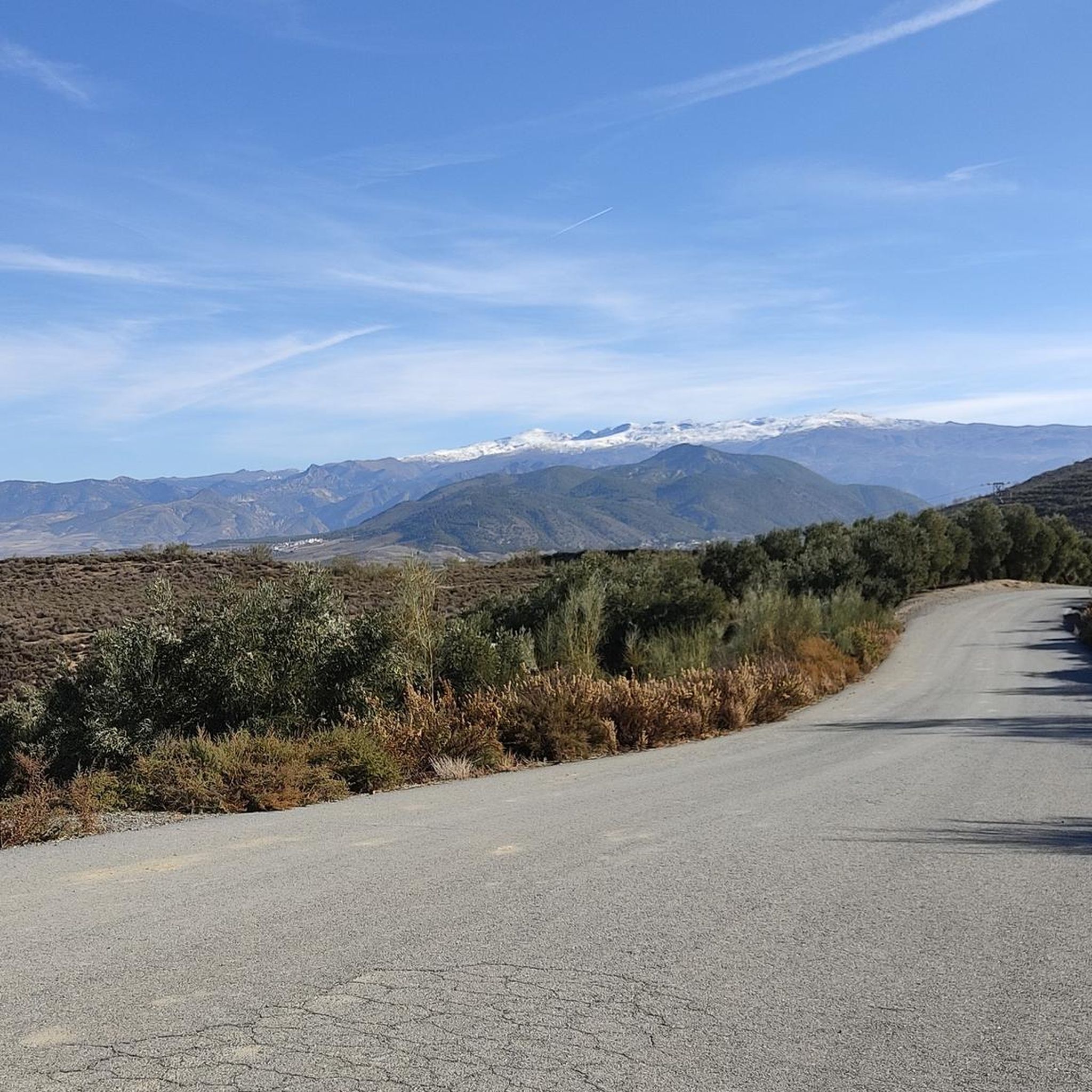
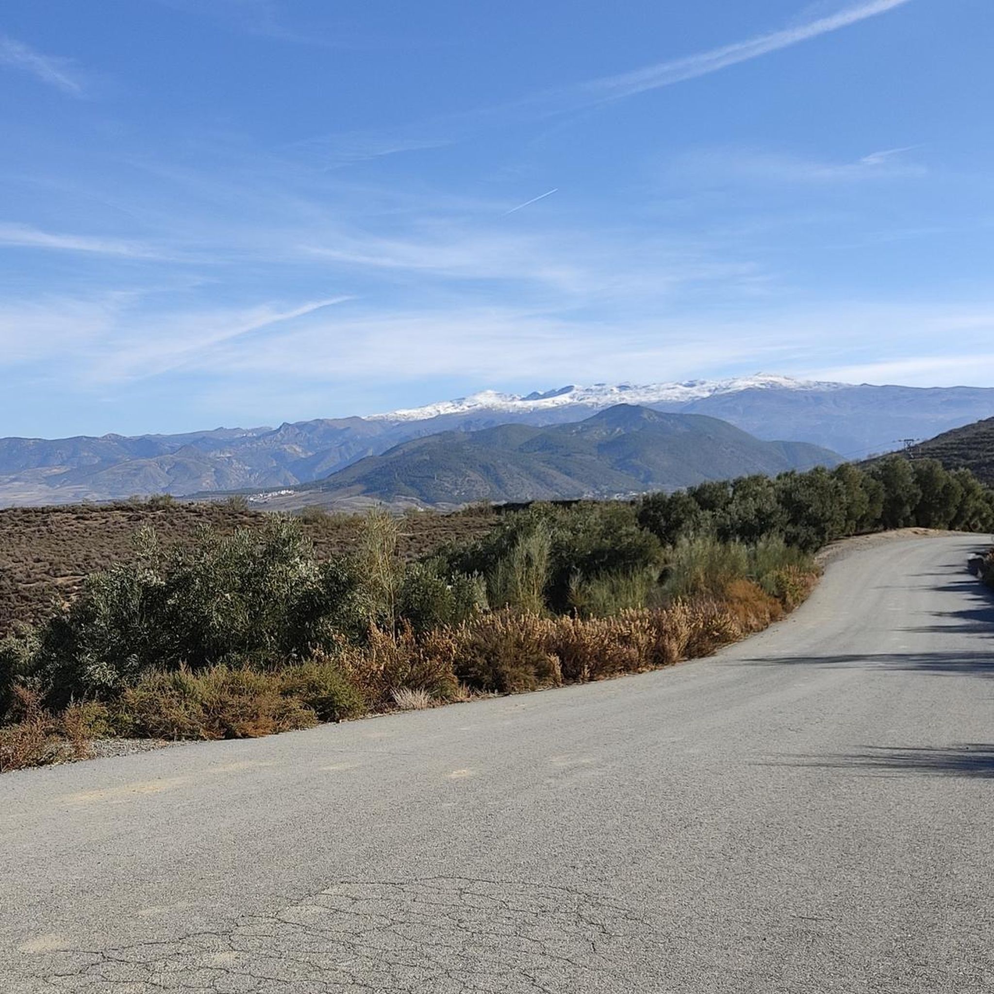
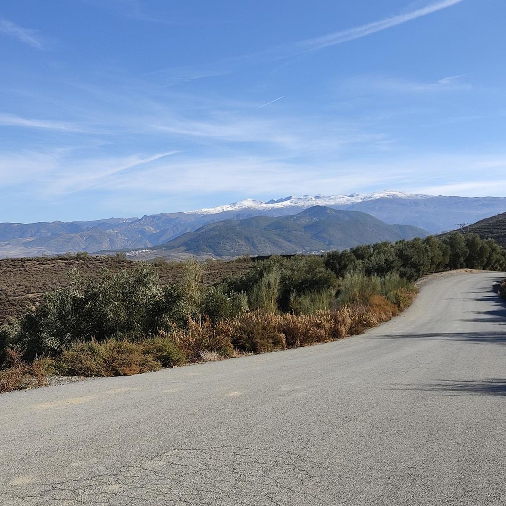
Yes, the region is known for its spectacular views and natural beauty. Villa de Otura itself is situated on a hilltop, offering panoramic vistas of Granada and the fertile plains of La Vega. Trails often lead through varied landscapes with opportunities to see features like the Río Dílar. For specific natural attractions, consider exploring nearby gorges such as Los Cahorros Gorge, Monachil or peaks like Pico de la Cruz.
Can I find mountain bike routes that are loops or circular?
Many of the mountain bike routes around Villa De Otura are designed as loops, making them convenient for starting and ending at the same point. Examples include the Dílar – Camino Nuevo loop from Villa de Otura, a moderate 29.9 km trail, and the Piedra Ventana – Padre Ferrer Viewpoint loop from Villa de Otura, a difficult 25.5 km route offering great views.
Are there any nearby attractions or points of interest I can visit after a ride?
Beyond the trails, the region offers several interesting attractions. You can explore the historic 'Puerto del Suspiro del Moro' pass, or visit the Santa Clara Golf Granada for an 18-hole course with Sierra Nevada views. For natural wonders, consider visiting nearby gorges like Hanging Bridge of Los Cahorros or exploring various mountain peaks such as La Silleta de Dílar.
Are there options for guided mountain bike tours or support services in the area?
Yes, particularly for more advanced enduro and downhill experiences in the wider Sierra Nevada region accessible from Otura, you can find services such as professional guiding, daily uplifts, support vehicles, and bike workshop facilities. These services cater to enthusiasts looking for a more structured and supported riding adventure.
What is the typical elevation gain on mountain bike trails in Villa De Otura?
The elevation gain varies significantly depending on the trail's difficulty. Easy routes might have around 300 meters of elevation gain, while moderate trails can feature 600-700 meters. Difficult routes, especially those extending towards the Sierra Nevada, can involve up to 900 meters or more of positive elevation, providing challenging climbs and rewarding descents.
Most popular routes around Villa De Otura
Most popular attractions around Villa De Otura

Get inspired with the komoot mobile app


Explore more
Browse the best MTB trails in other regions.
